Already for several years, some of my Russian friends travel to Burgundy in November
On the third weekend of November, the Hospices de Beaune run their wine auctions and Beaune, the wine capital of Burgundy, turns into a market place for tasting and buying wine as well as local products from Burgundy and France. Some of my Russian friends love the wines of Burgundy. They come to Beaune every year to taste wines, stroll on the markets and absorb some culture on the way. Also this year Larissa and three of her friends from Petersburg plan to visit Beaune. This time they also add a visit to Chablis and the Champagne. They invite me to join them and I accept. Thank you for giving me the opportunity to rediscover Burgundy that I had visited about 30 years ago.

Source: Foto of the auctions taken in the shop of the Hospices de Beaune
.
My friends from Russia know and enjoy the culture of Burgundy
My friends have attended trainings in wine tasting in Petersburg and have carefully practiced tasting good wines. They know about the good domains and climats. They check the look of the wine. Then they smell, sip, sway the wine in the palate – and also make use of the spittoon. They love Burgundy wines and the food such as truffles and escargots. They know Beaune like their pockets and have found a wonderfully comfy appartment on three floors in the middle of the old city.
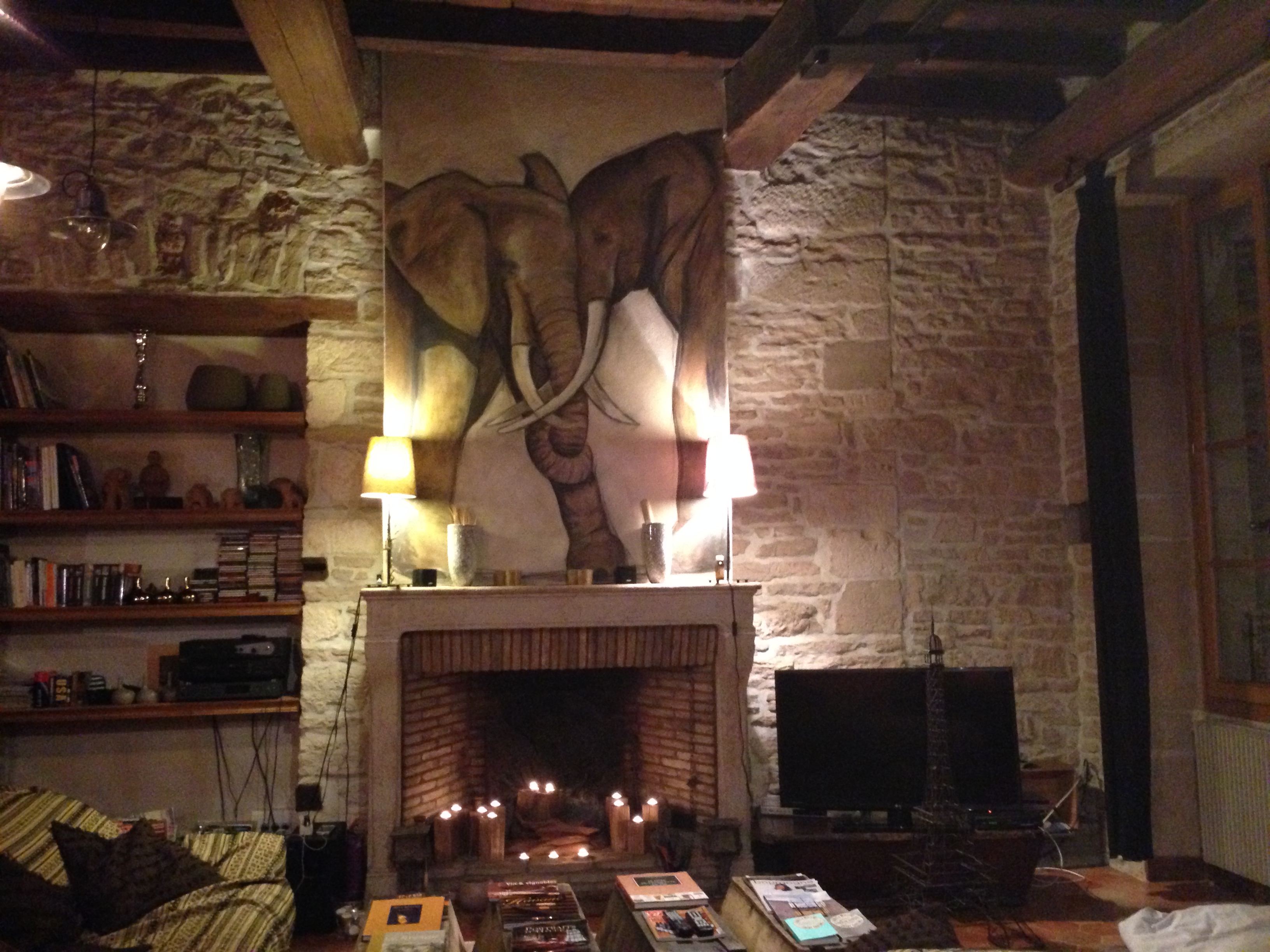
We share the apartment with some crocodiles.

Beware of them!

.
Being Swiss I added some Swissness to the French culture
What I contributed from Switzerland was yoghurt, Birchermiesli flakes, rye bread from Wallis and Röschti (fried grated potatoes). One evening I prepared a Fondue.
Switzerland’s well kept secrets are their wines – I took along a Pinot noir (is different from Burgundy wines, but also good), some Fendant (for the Fondue) and one bottle of Amigne de Vétroz from the Wallis (sweetish fruity). Also my Basler Läckerli were welcome – I admire Larissa – she has made Läckerli herself for the previous Christmas.
My Russian friends added some surprises to my Swissness.
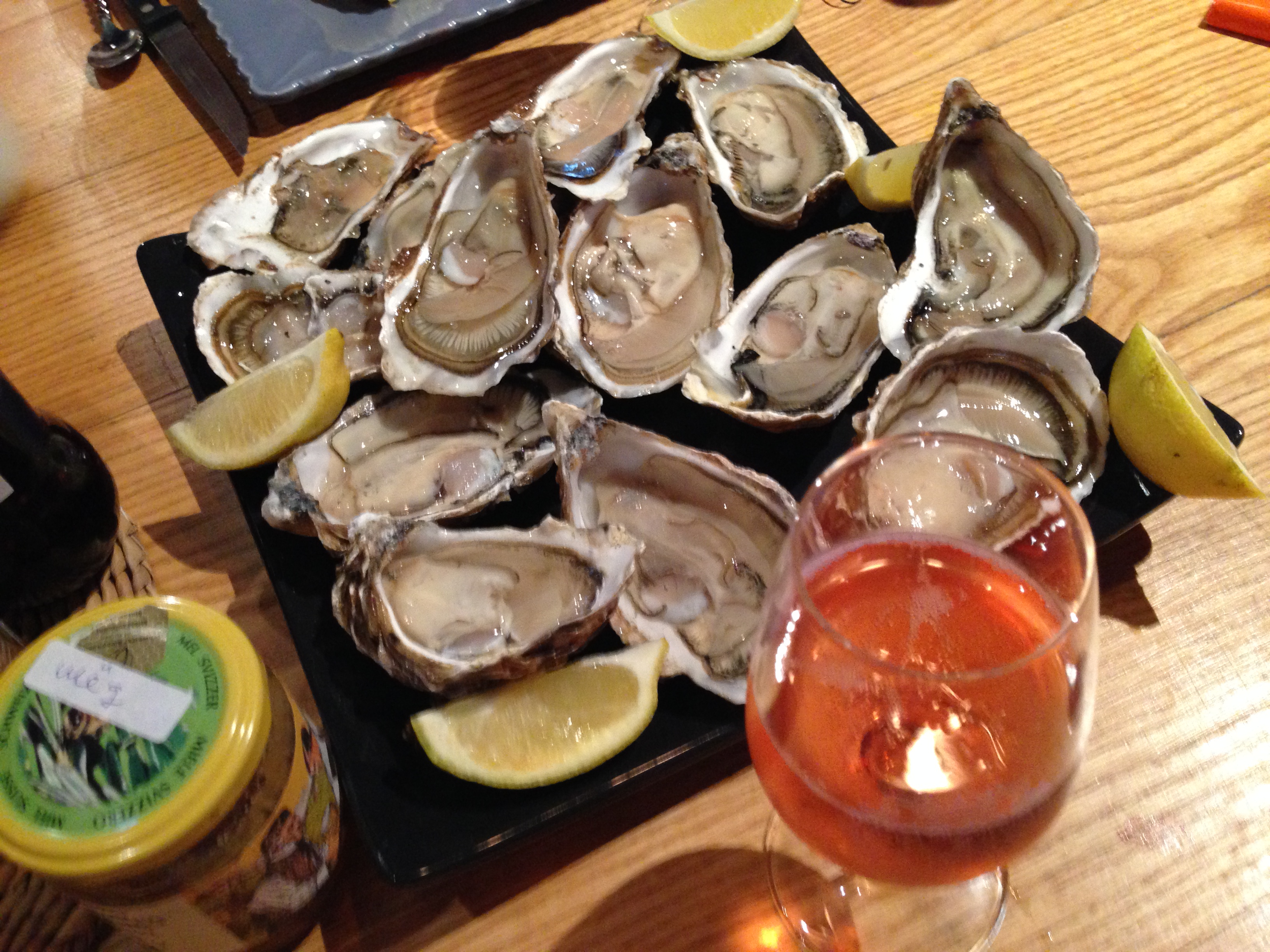
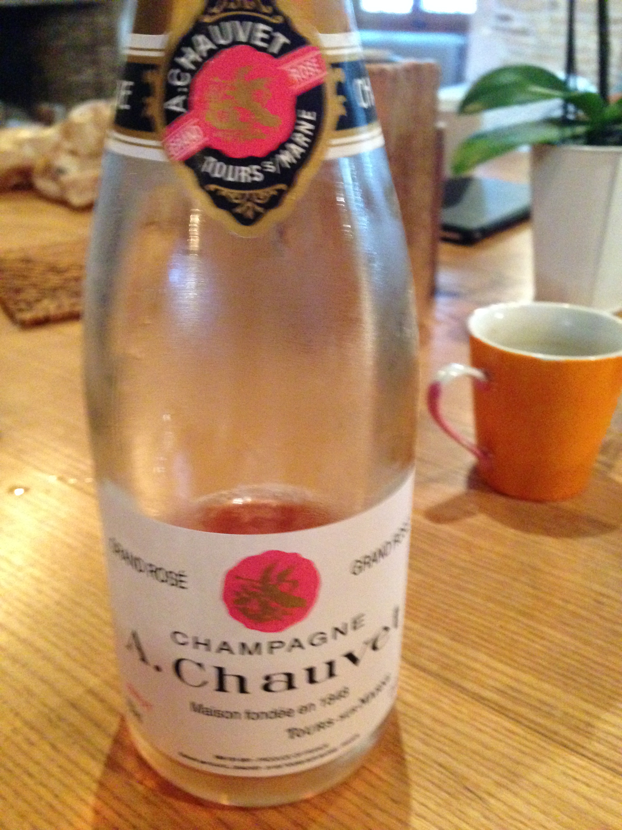
As a starter before the Fondue meal, Aljoscha prepared oysters and we ate them with a good bottle of Champaign. Then we moved on to the Fondue. I laughed – I had never eaten oysters before a Fondue. For the Fondue, French baguettes are a perfect match; my friends added champignons and vegetables to dip into the cheese. When one of us lost his bread in the cheese, they all shouted like one voice: “Now YOU have to pay for the next bottle of wine.” My friends are polyglott. Because this is what we say in Switzerland.
Larissa took the rye bread from the Wallis and knocked it on the table asking: “Do you believe, anyone can still eat this bread? It is as hard as stone” I took it and finished it off alone. This is what the rye bread is about: It is hard and it can be kept for months (almost). But I understand that my Russian friends could not understand this.
Larissa asked me: “Do you think the Amigne goes well with Mont d-Or cheese?” “Yes”, I say – and in front of my eyes are a baguette, the fresh Mont d’Or and a glass of my sweetish-fruity Amigne to counterweigh the creamy cheese. I open the bottle and place cheese, bread and wine on the table. My friends shake their heads. They take the Mont d’Or cheese back into the kitchen, add a lot of gloves of garlic and melt the cheese in the oven. The cheese comes back on to the table with potatoes in their jackets. This is a tasty meal…. but not for my Amigne. They try the wine and rightly say “this wine is sweet.” I agree, I would never have served the Amigne with potatoes and melted garlic cheese. Back at home, I will carefully plan how to drink my next Amigne de Vétroz. And I will also remember that “Gschwellti” (potatoes boiled in their jackets) go well with melted Mont d’Or and garlic – this was delicious. (In my memory, it was Epoisses cheese, and Larissa pointed out rightly that it was Mont d’Or cheese).
.
In Burgundy, I also enjoy some Russian food culture
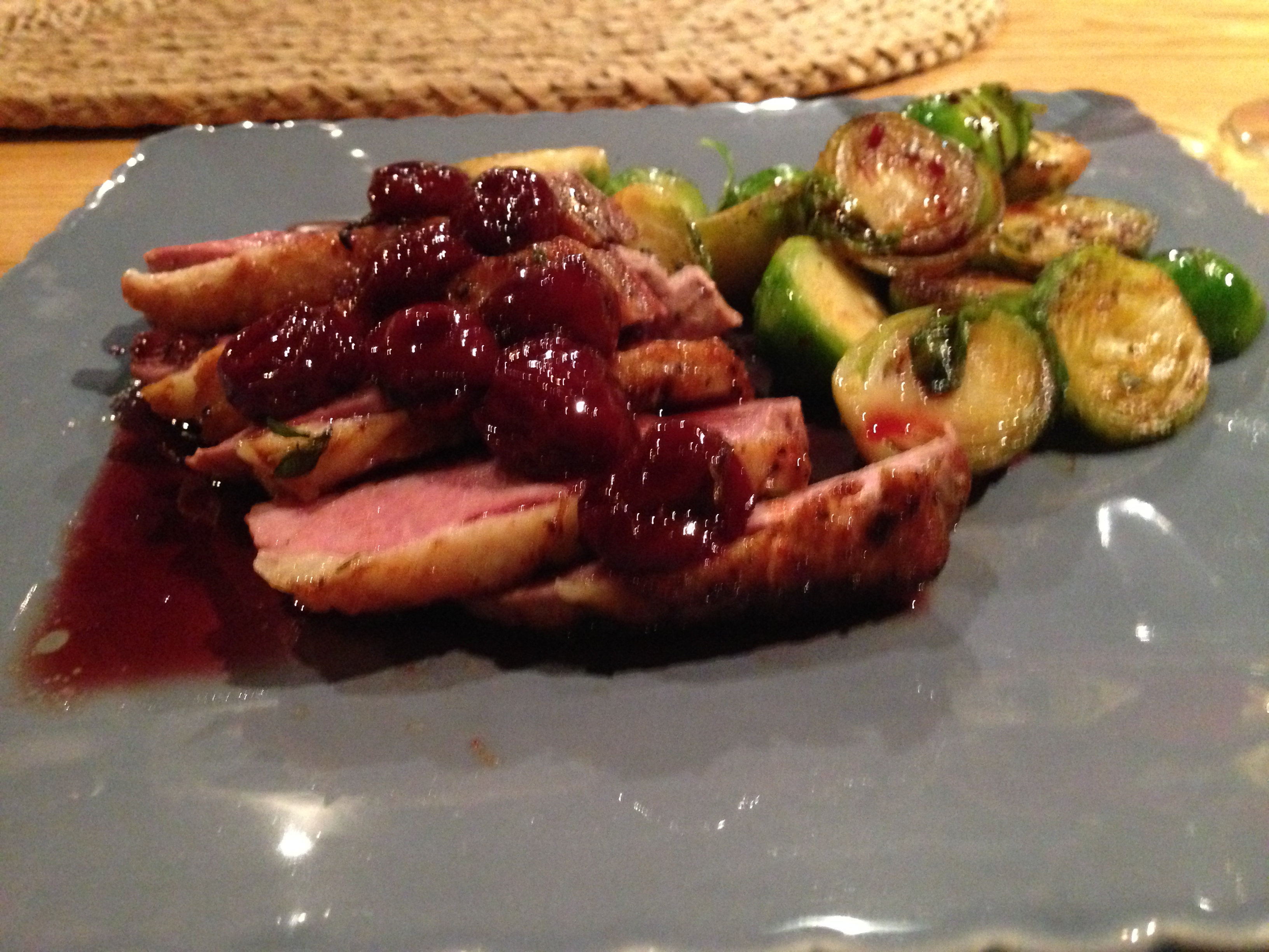
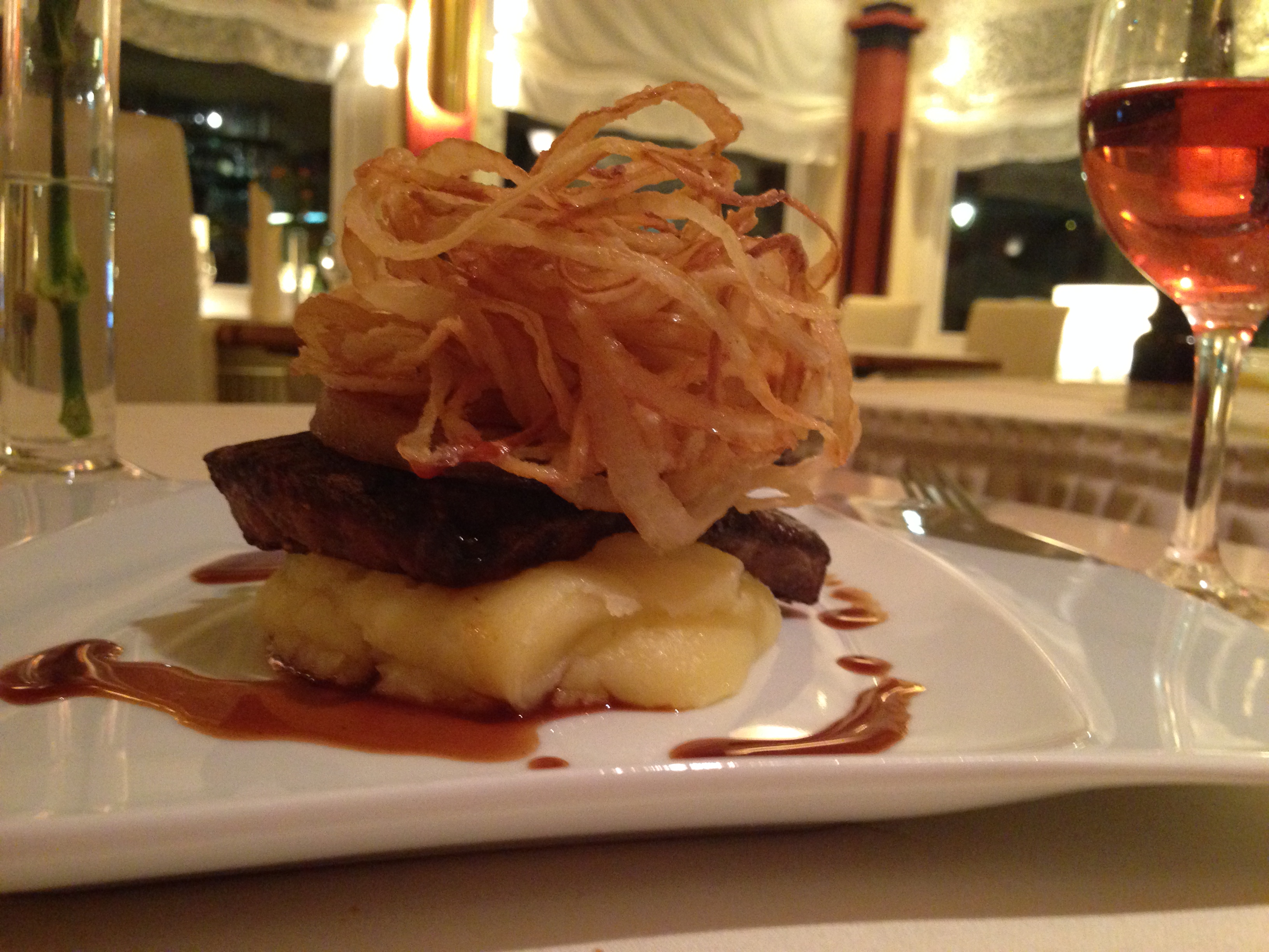
Every evening, we cooked for ourselves. The first evening it was spaghetti carbonara (Larissa has brought the real guanciale – not pancetta, as I wrote before – and no,no, never cream for carbonara, only eggs! The spaghetti were delicious). Another evening it was duck with griottes sauce…
… and then filet with a tasty mushroom sauce made from mushrooms collected and dried in Russia.

With our meals we drink one of the wonderful bottles that we have tasted during the day.

The Swiss breakfast is bread, yoghurt, marmalade, cheese, perhaps a boiled egg and some ham or sausages. Already in Petersburg I experienced that a Russian breakfast is a real meal with omelette, vegetables and/or potatoes. A Röschti in the morning was welcome – like farmers in the Bernese Alps eat it in the morning (perhaps no longer today). I must admit that I often ate some bread and yoghurt and did not join the sturdy breakfast of my friends. But then there are two exceptions: Oysters and champaign…
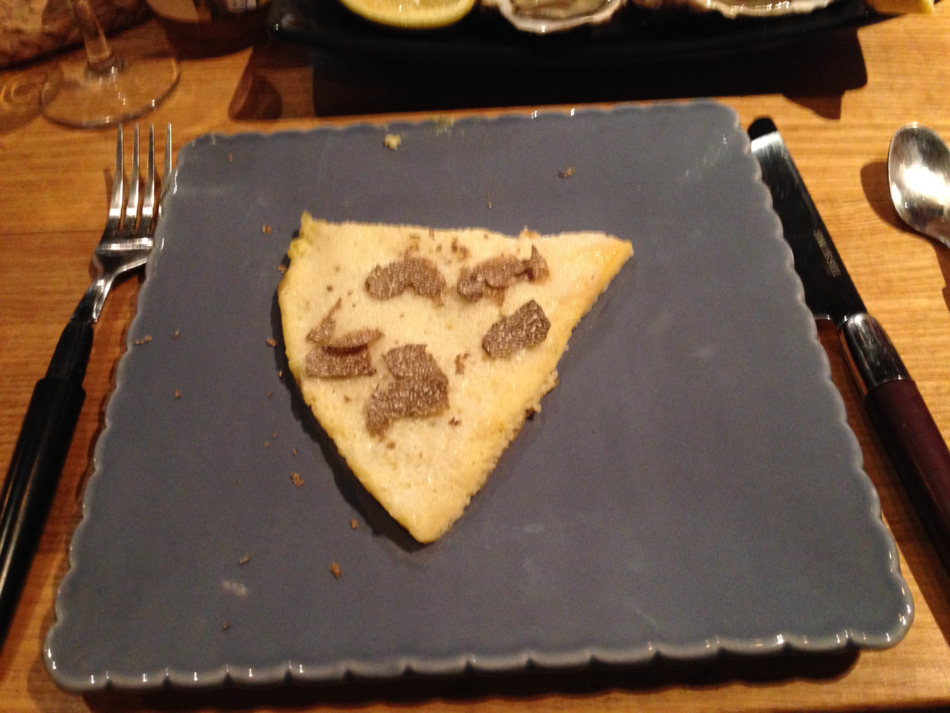
… and an omelette with truffles.
Back at home I enjoy Russian culture with dried mushrooms (thank you, Katja, for giving me the remaining dried mushrooms – my mushroom risotto was delicious) and with Sushki (Сушки, thank you for having carried some in your suitcase for me).
.
Now living in the US, Larissa added some US culture
In her red wine suitcase, Larissa has carried a bottle of Pinot Noir 2011 from the Shea Wine Cellar in the Willamete Valley. This is a special gift for me. Back at home I read the Website about Oregon. It says: “If you were a wine grape, you’d want to be planted in Oregon.” Much farther north than California, the wines are fresher with more acidity. The Willamete Valley is “the home of cool climate Pinot Noir and Pinot Gris…” and 2011 was a good year for Oregon, says my Pocket Johnson. I had never thought of Oregon as a wine region. I am curious to taste the Shea, but this bottle will first go to my cellar. Thank you, Larissa, for allowing me to discover Oregon. And I still feel very bad for having broken the second mysterious bottle that you had brought from the US.
With our cheese we had bisquits from the US that are similar to crackers in Switzerland. They tasted so good that I had to move the box to the other end of the table…
.
Sometimes I had problems to understand my Russian friends, in particular when they transcribed French into Russian
Russians cannot understand, why theFrench write so many letters that they do not pronounce. They transcribe French names and expressions into Russian. Here is an example:

Who is “Месье Патиссье”? Well, if I read it out loudly to me and listen carefully, I can hear “Monsieur Patissier”. Often I had to ask three times, when my friends wrote down the name of a winegrower or a place – here is an example: In Шабли (Chablis), my friends are interested to taste the climat Ле Кло (Les Clos) at Шаблизен (La Chablisienne) and Реньяр (Regnard). Yes, I agree, it may be a waste to use so many letters that then are not being pronounced, but French is different from Russian…
.
It was great for me to see how much my friends made their vacation in France a special event – and I enjoyed it with them
Yes, visiting Burgundy and adding the diversity of various cultures to the French joie de vivre was a great experience. We went through so many wine tastings and I learnt a lot about Burgundy. I enjoyed observing that my friends made their vacation a special event. If only Larissa and I would not have caught a caugh.
I do hope that you will come back to Burgundy next year… I keep my fingers crossed for the Rubel!


