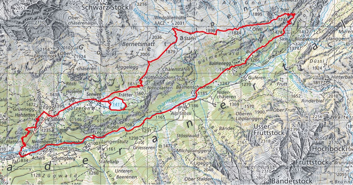
On Saturday and Sunday, August 17th/18th 2019, we went for a two day photo excursion to the Maderanertal. It is Sunday now, where we captured impressions from the early morning and from walking around the lake.
.
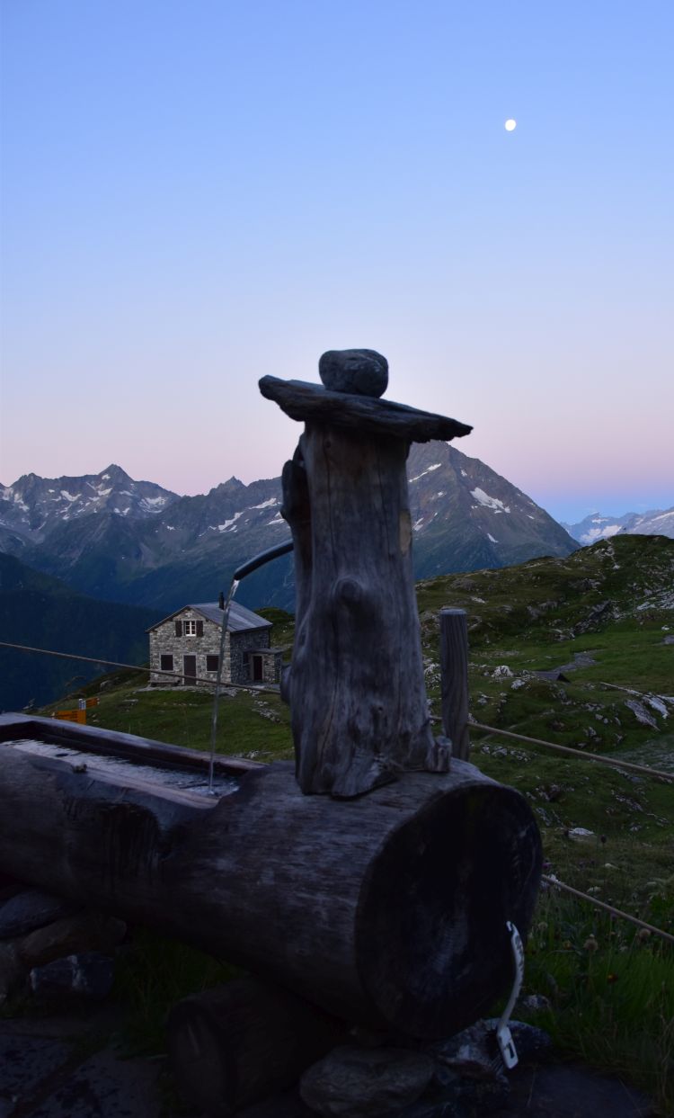
Early Sunday morning: The moon is in the west
I get up shortly after six in the morning. The sky is clear. It is almost full moon.
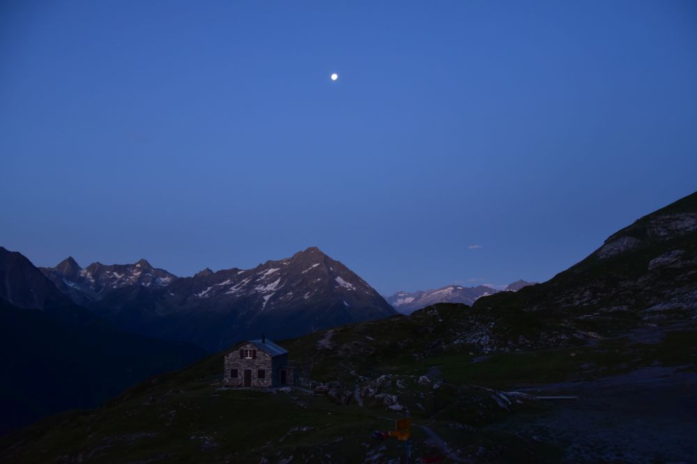
While it is dawning, the fountain in front of the Windgällehütte atrracts me.
.
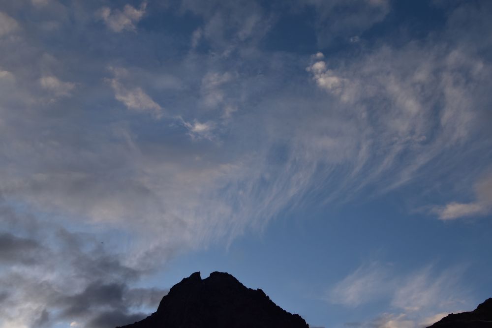
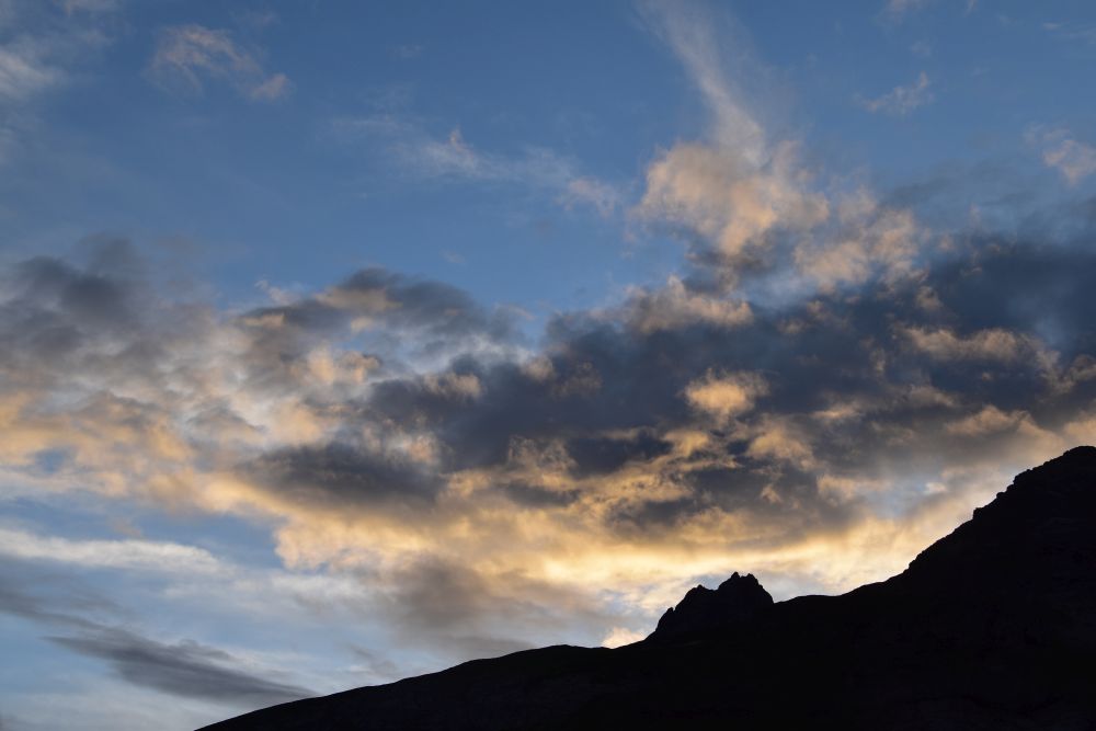
The mountain peaks start to be touched by the sun
Some red clouds in the west have appeared above what I think is the Susten. The Galenstock shines fully in the sun.
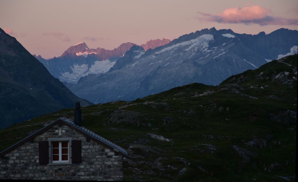
Also what I think is the Oberalpstock above the Maderanertal starts to glow.
.
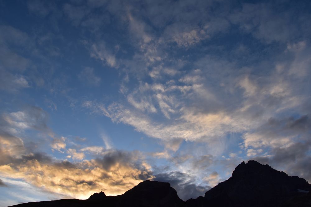
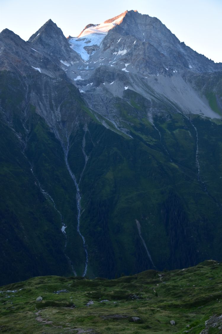
The sun rises
The sun takes its time and I feel cold. Shortly after seven o’clock, the sun appears above the glacier Hüfi Firn, just for a moment, disappears again and reappears in the next gap of the rock to accompany us for the rest of the day.

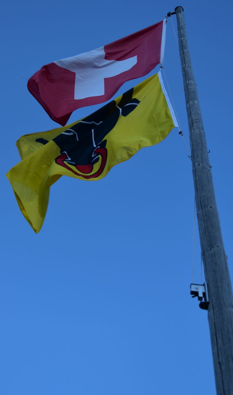
Now, we enjoy the excellent breakfast of the Windgällen hut, even with fresh yoghurt. By the way, the Windgällenhütte is not an SAC hut, but it is owned by the AACZ which is the Academic Alpine Club of Zurich, as I have learnt in the meantime.
.
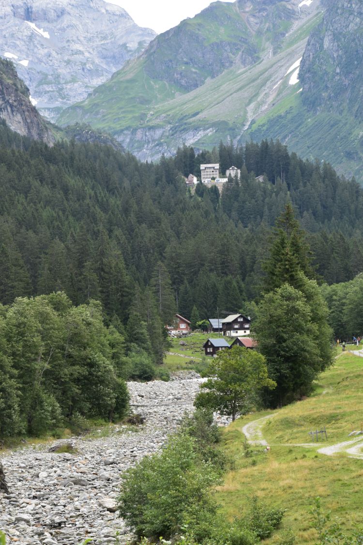
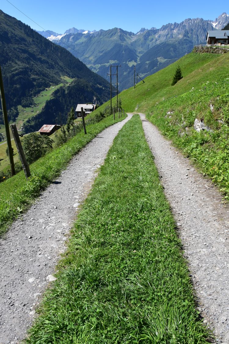
Saying good-bye to “our” hut and walking down to the Golzeren lake
The family that had slept in the same room with us, is starting for the geology excursion provided by the Windgällenhütte. A documentation hangs around the neck of the husband. He hopes to find some crystals on the way. Back at home I take out my “Die Geologie der Alpen aus der Luft” by Kurt Rüwe and Ruedi Homberger (Weishaupt Verlag 2011) and find a chapter about the Windgällen massif (p. 246/47). The book explains that the top of the Chli Windgälle is made from (older) crystalline basement (kristallines Grundgebirge) and neighbouring Gross Windgälle from (younger) mesozoic sediments. At the Chli Windgälle, the (older) chrystalline basement layer is above the mesozoic (younger) layer. This must be a fascinating excursion.

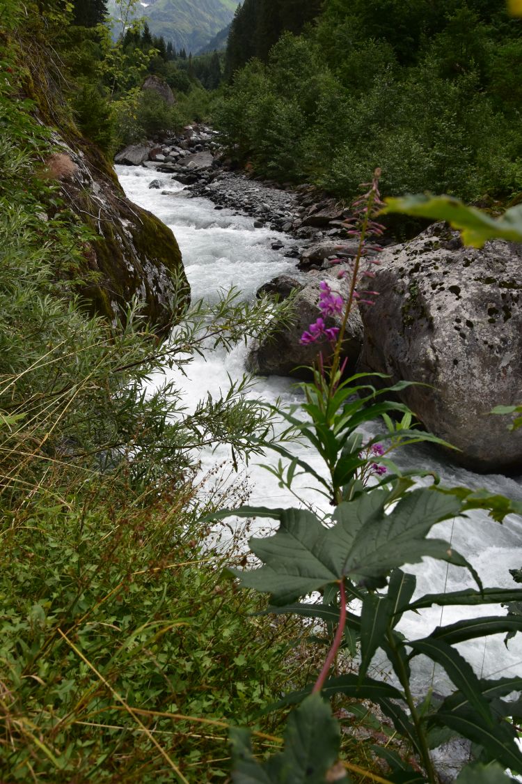
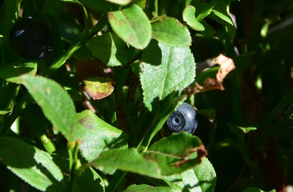
We say good-bye to the family and to the Windgälllen hut and descend to the Golzeren Lake. It is a pretty walk. While my friend takes photos, I eat blueberries – the first ones I find this year.
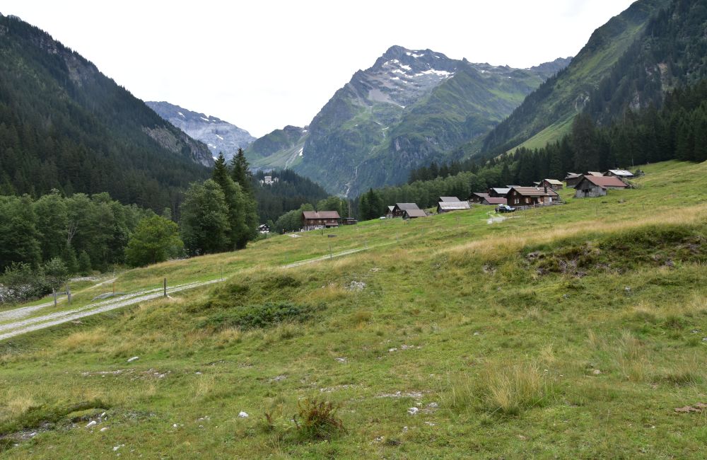
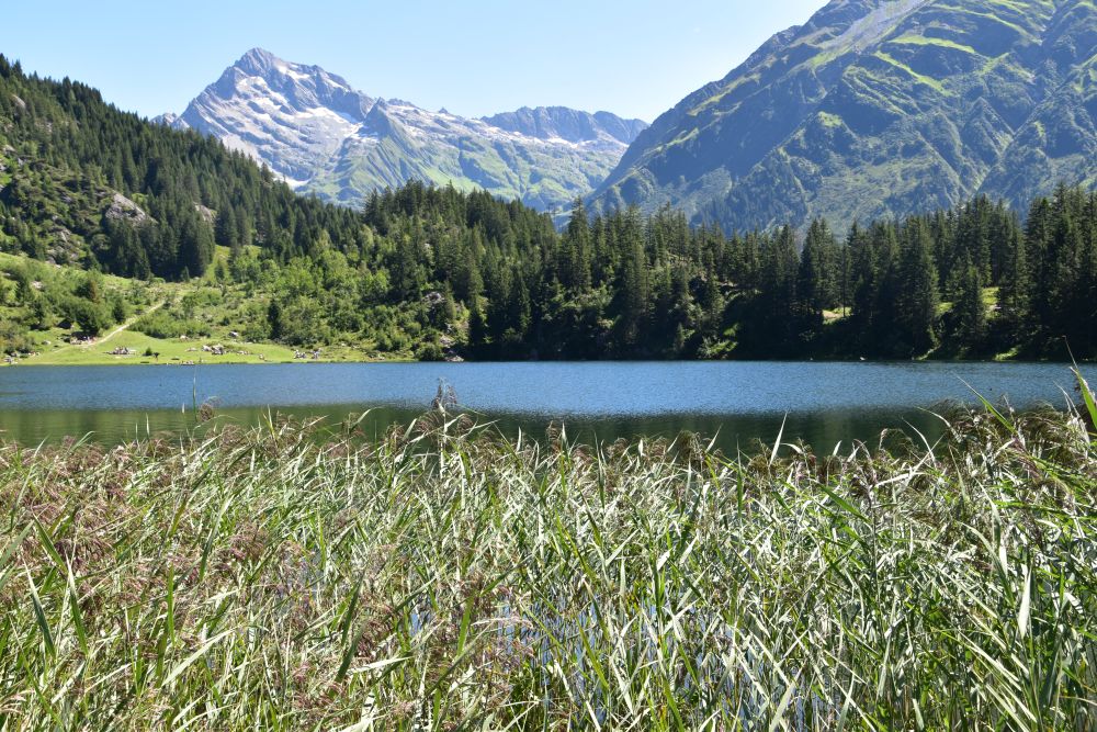
We reach the forest and can see the lake Golzeren and the village Seewen below us.
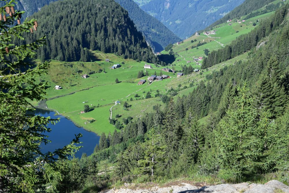
In Seewen we meet many Sunday tourists that have come up by cable car from Golzern Tal. We join them and walk to the lake.
.
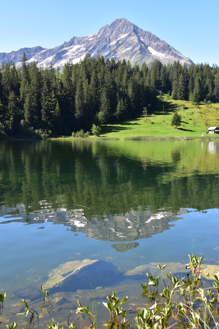
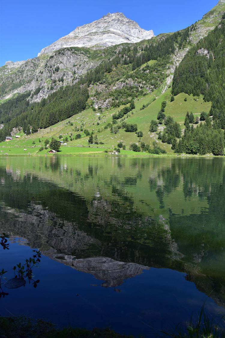
Surrounding the romantic Golzeren lake
A panel explains to the tourists that the Golzeren lake originated by filling the depression, where the retreating glacier left a block of ice that melted later. The village Seewen is located on the end moraine. The lake contains dead wood which provides the habitat for fish and other water creatures. The lake is a paradise for anglers, as young fish are put out regularly, trout and perch, recently also crayfish that eat carrion.
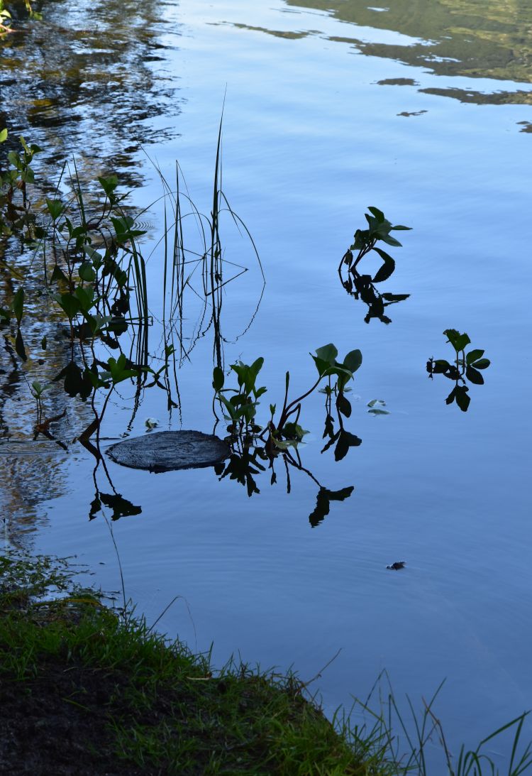
I first focus on mountains and trees reflecting in the lake. This is the Oberalpstock with the stone in the foreground,…

… with the little duck…

… and with some plants. There is a slight wind that changes the image of the reflections.
We reach the eastern shore, amidst swimmers and sunbathers that enjoy the small beach. Great idea to take a swim here. I enjoy the view towards Susten, also reflecting in the lake.

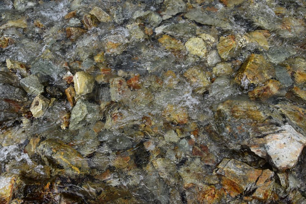
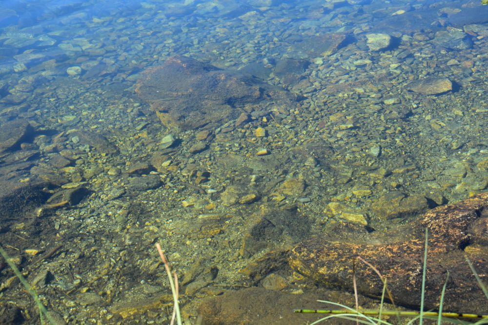
Next I turn to “water games”. There are pebbles,…
… a dead tree (hard to see, yes),…
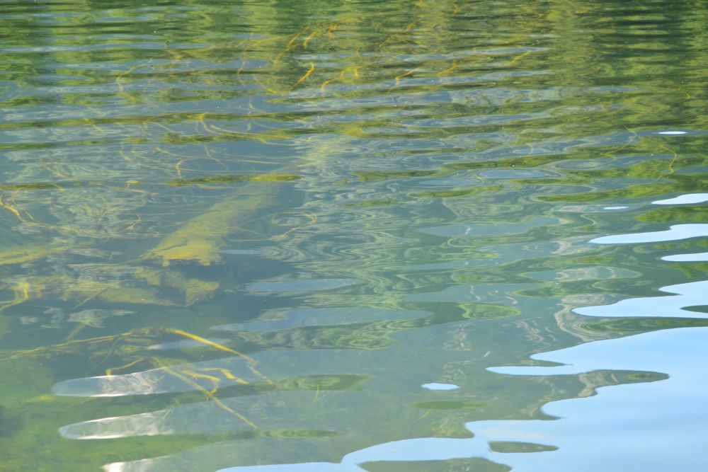
… a dead wood log that looks like a dog to me (a small rhyme)…

… some water plants and…
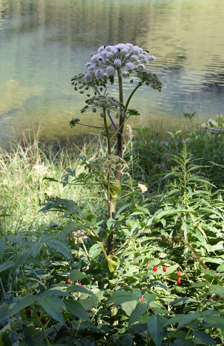
… the bear’s breech that is visited by beetles.
.
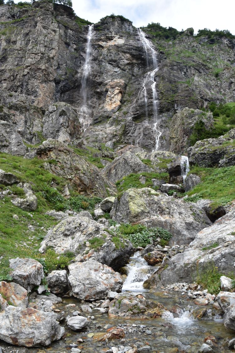
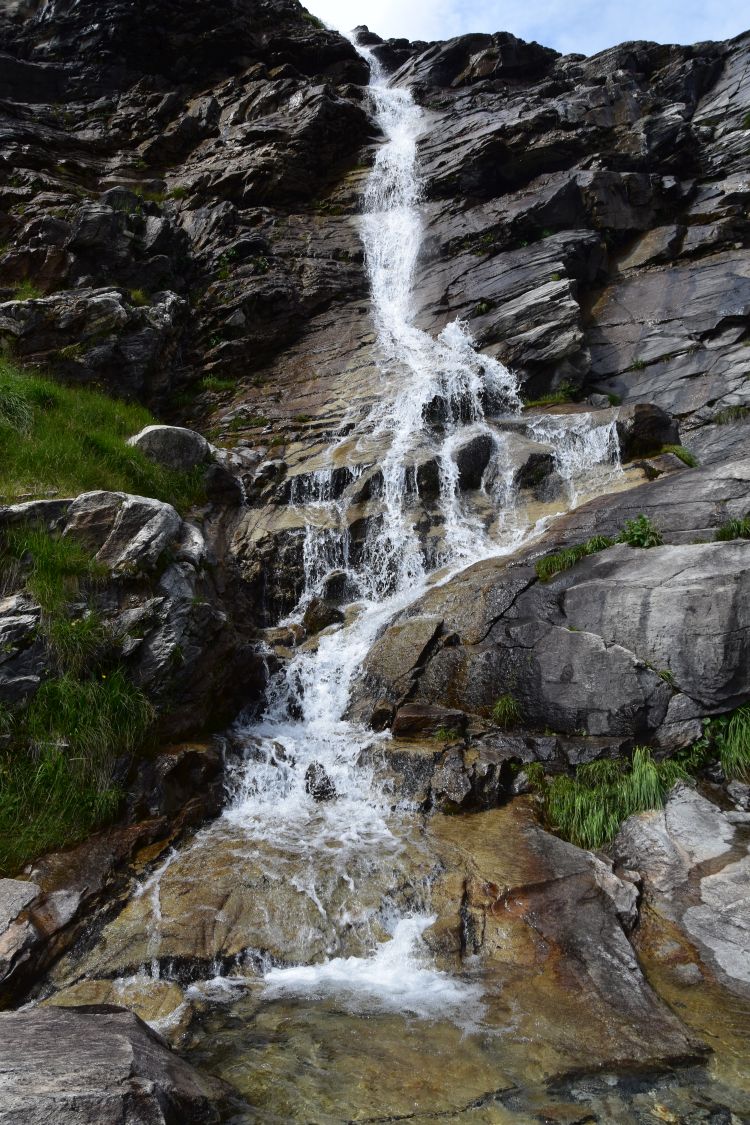
Saying good-bye to the Golzeren lake and walking down to Golzern Tal
I take a foto of the Chli Windgälle with its (older) crystalline peak above the (younger) mesozoic layers,…
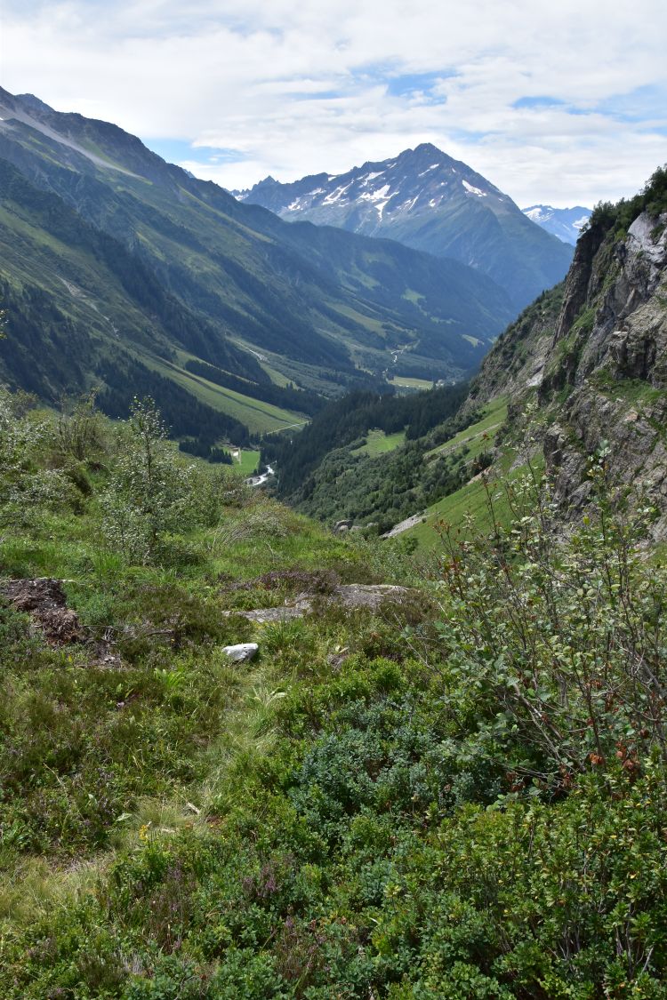
… look back east to the Maderanertal, where we have been…
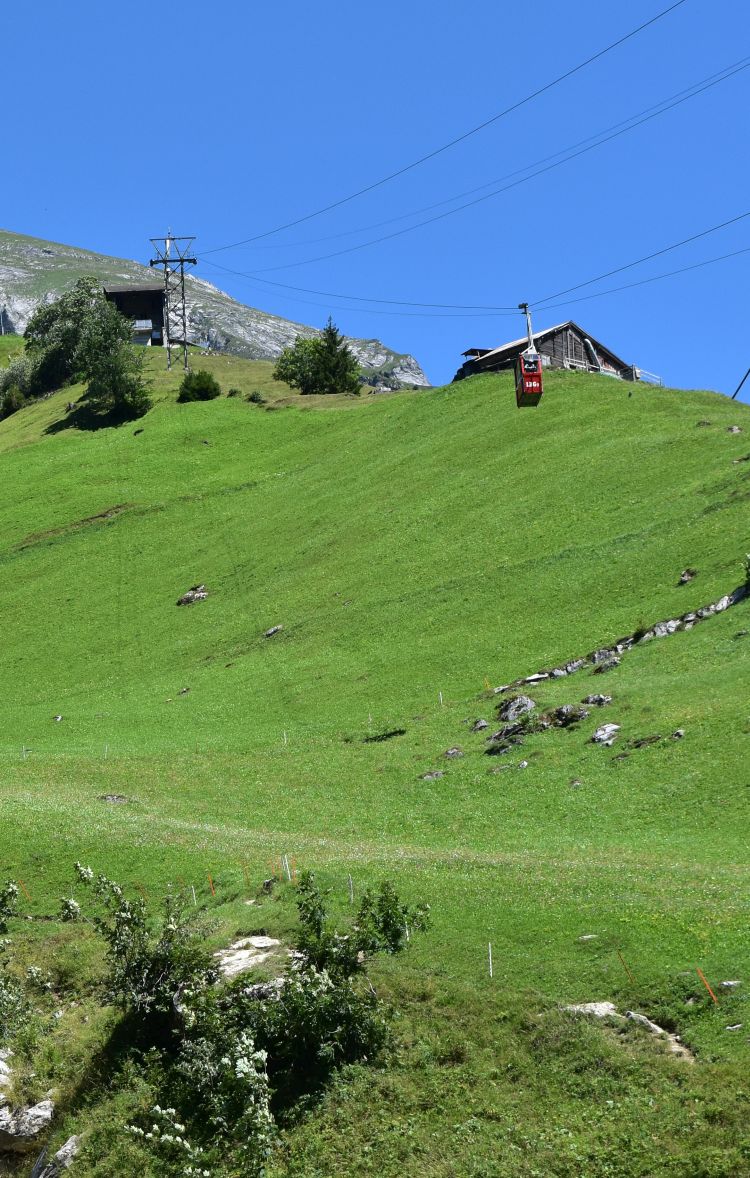
… and a look ahead west, where a very steep descent down to Golzern Tal is expecting us… we will be zigzagging down some 500 or 600m.
When we arrive in the valley, I feel my legs – perhaps we should have taken the small red cable car that shuttled up and down above our heads.
While waiting for the bus, I have a bowl of blueberry ice cream, freshly made by the Alpenkiosk. With many other Sunday tourists we take the bus to Flüelen and change trains twice to reach Basel. We have experienced two dry and mostly sunny days with great photo spots and a friendly hut. When back at home, I see a very bright lightning around ten at night – with it two days of rain are ahead of us.
Thank you for having taken me out to this valley that I had not known before!