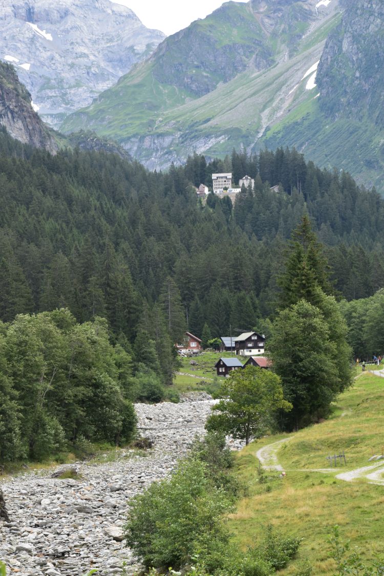
A good friend of mine, Swiss with Hawaiian background, proposed a photo excursion to the Maderanertal. I had never been there before and I was impressed by the beauty of this steep valley in the canton Uri.
On Saturday, we started at Golzern Tal (about 800m, lower left hand corner of the map), followed the creek Chärstelenbach to Balmenegg, climbed up to Tritt (1744m, upper right hand corner of the map) and continued to the Windgällenhütte (hut at 2031m), where we stayed overnight. On Sunday, we walked down to the romantic Golzerensee (lake, 1411m) and descended to Golzern Tal. In all we walked about 18km, up and down about 1250m .
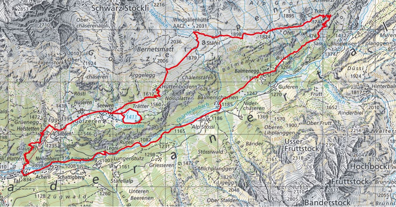
Source: Schweiz Mobil
The most impressive places for photos I found, when crossing the waterfalls on the way to Tritt, when staying at the Windgällenhütte (sunset and sunrise) and when surrounding the lake Golzeren.
.
Starting along the Chärstelenbach
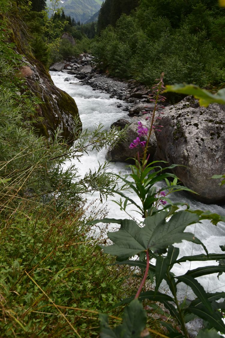
We started our walk in the valley strolling along the Chärstelenbach. I am not sure, whether this wooden gangway really carries two tons…

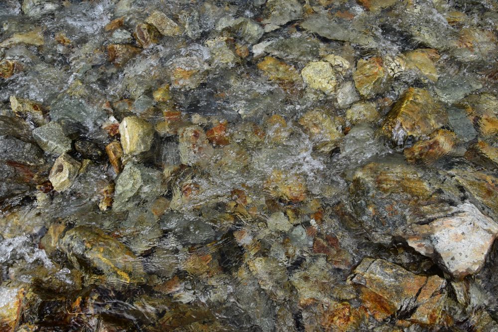
The wildly churning Chärstelenbach offered the first opportunities for taking photos.
We reach Alp Stössi and see Balmenegg still far away in front of us.
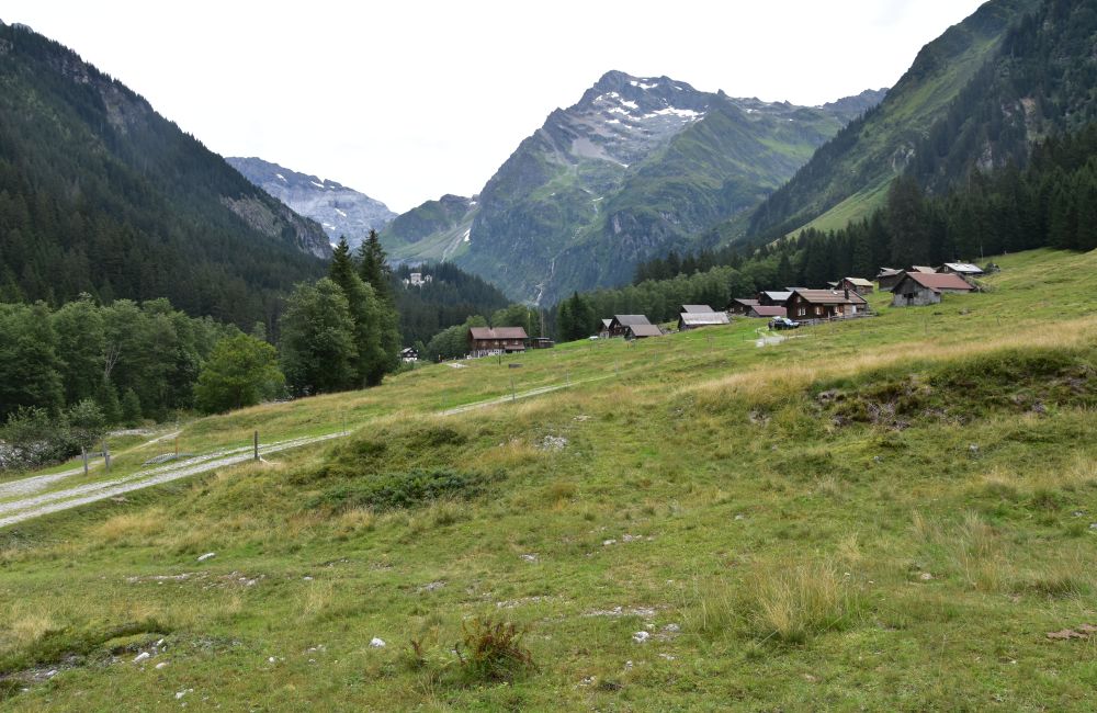
Now I have zoomed in Balmenegg, which is a hotel-restaurant surrounded by trees.
.
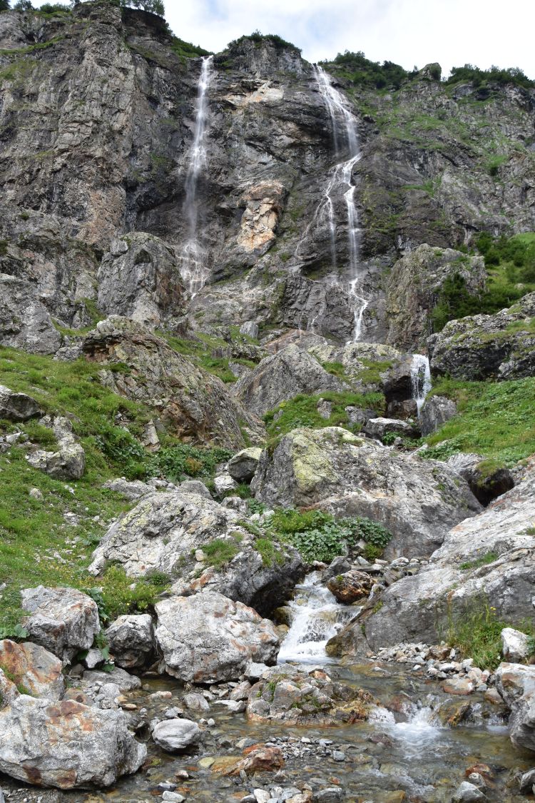
Crossing many, many soothing waterfalls on the way to Tritt
After having reached Balmenegg, we climb up to Tritt. It is very, very noisy from the soothing waterfalls on both sides of the valley. I do like the sound of soothing waterfalls.

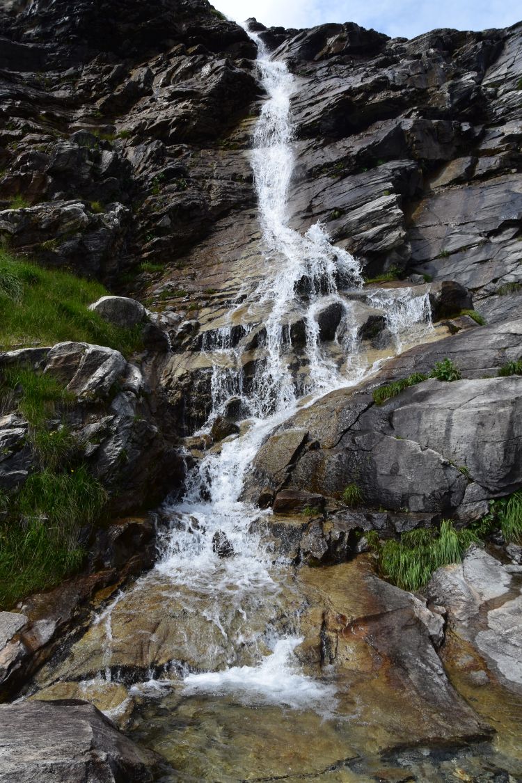
We cross one waterfall…
… after the next. Here I stand on a metallic bridge. The rocks are polished above the bridge…
… and below the bridge.
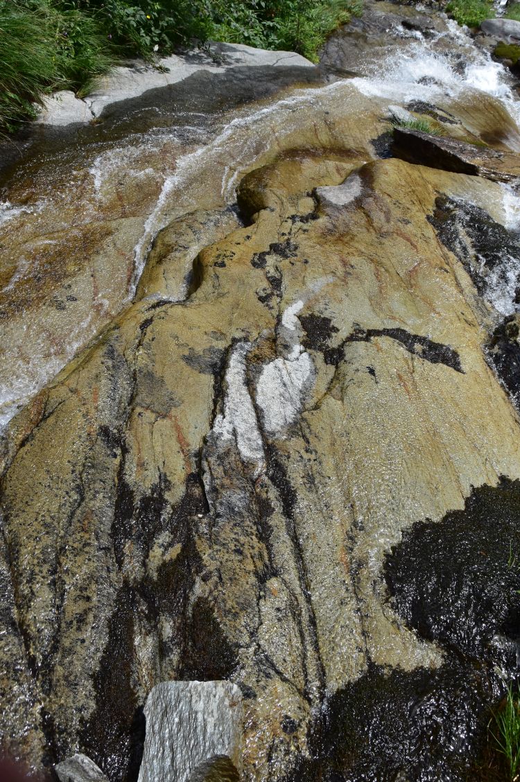
Sometimes the water rests before continuing its way down.
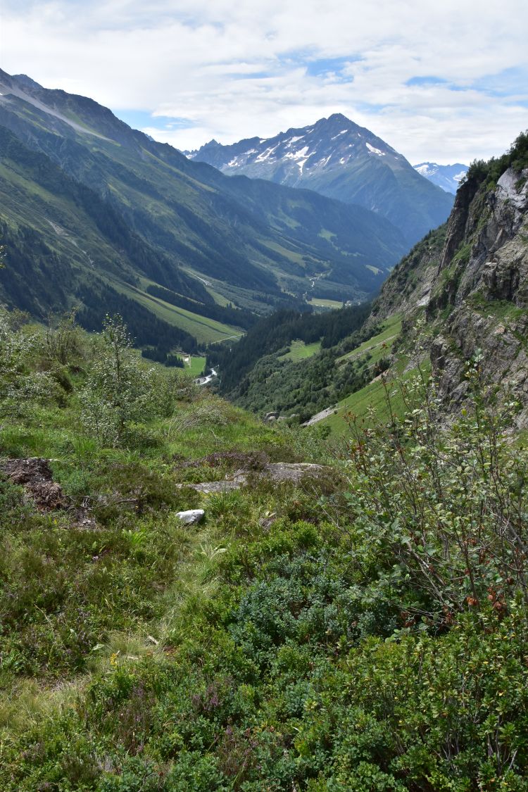
We steeply climb up to Tritt and look back into the Maderanertal. I think of my mum who was a geologist – has she ever seen this valley shaped by glaciers?
.
Arriving at the Windgällenhütte, with all sorts of animals
The Windgällenhütte is an SAC mountain hut (Swiss Alpine Club). It is a very busy weekend that the hut team manages with a friendly smile in their faces. I had a delicious home-made chocolate ice cream to recover from the ascent.

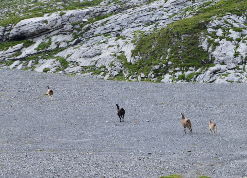
The hut is located at the foot of the Windgällen massif and above this swamp. Cows are grazing,…

… accompanied by some joyful alpacas.
Water enters the swamp and creates puddles.

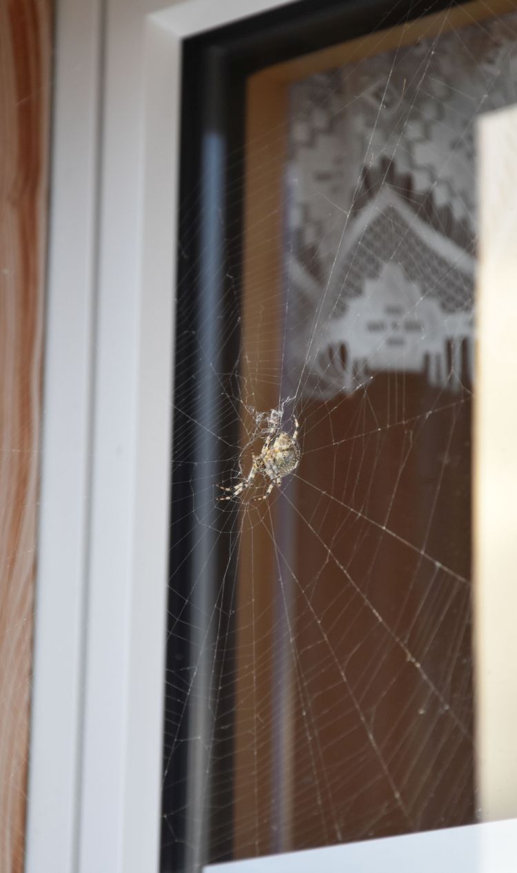
A huge spider has woven its elaborate cobweb in front of the window.
We have dinner – delicious spaghetti with various sauces and the best nut cake that I have ever eaten.
.
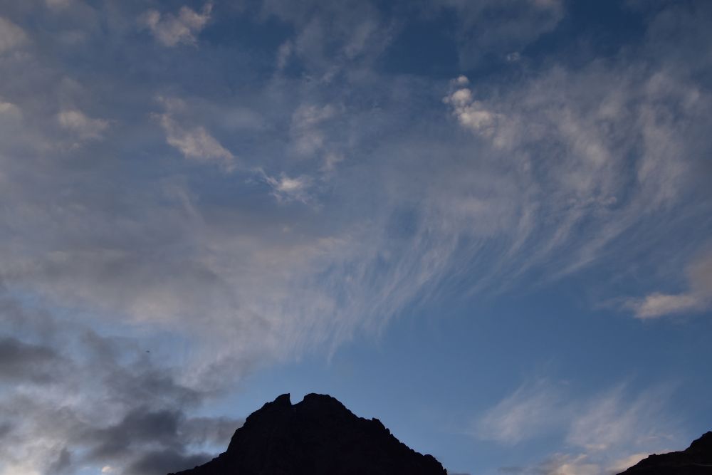
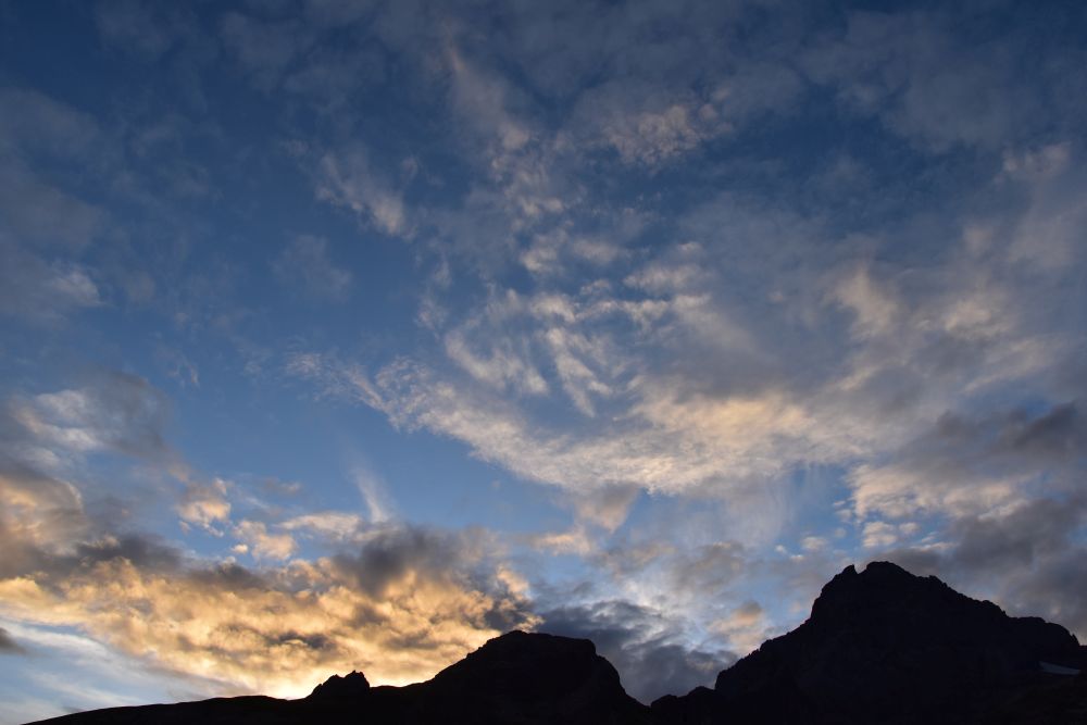
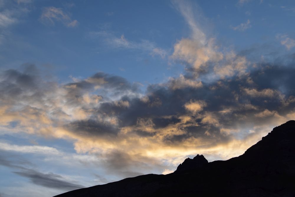
The setting sun illuminates the clouds
After dinner, we watch the sun set. The sun is hidden by clouds. It illuminates patches of some mountain slopes…

… and makes the clouds glow. I recognize the Galenstock which is the left-most peak in the background. I know it from a ski tour, many years ago.

The clouds appear as stripes above the Chli Windgälle….
… and glow intensely farther west,…
… where the sun is setting.
It is soon dark and we go inside. In the hut library, I find a book about the history of the Gotthard Pass during the Napoleon wars. Well written, with an objective view of the facts. Unfortunately, I have not written down the title. The book describes the historical events adding the viewpoint of the people from the mountains that suffered during the war around 1800. After having been successful in Italy, Suworow crossed the Gotthard in 1799, arrived too late in Altdorf, because Napoleon had already defeated the Austrians near Zurich. Suworow had to evade, crossed the Chinzig, the Pragel and the Panixer Pass and, with part of his army, he succeeded to return to Russia. In the book I found a black and white copy of Surikow’s painting – here is my photo of the original in the Russian Museum of Petersburg. Swiss mobile suggests the Via Suworow, an eleven day hike following the route of Suworow from Airolo to Ilanz. Perhaps this would be an idea for another hike?

Good-night! Until Sunday morning!
