The area around Basel is full of secrets.
Did you know that the family Rotberg sold the possessions around their castle Burg Rotberg to the canton of Solothurn?

The map shows the possessions that Solothurn bought; they are marked with “SO” and are surrounded by “BL” (Baselland).
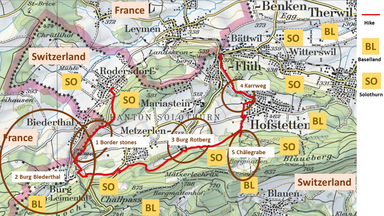
Let us summarize the five secrets that I found, when walking from Rodersdorf to Flüh in 2020:
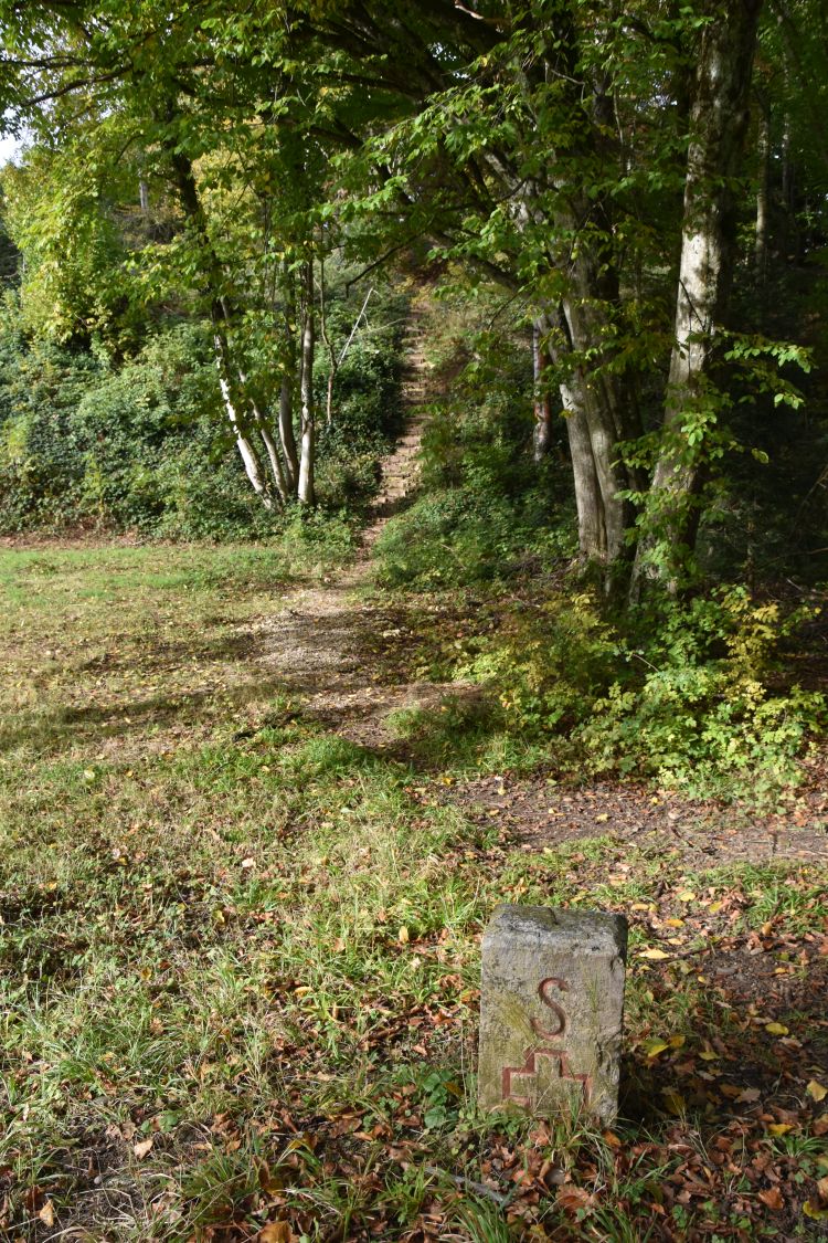
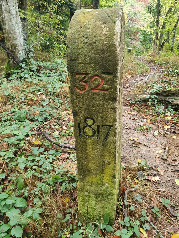
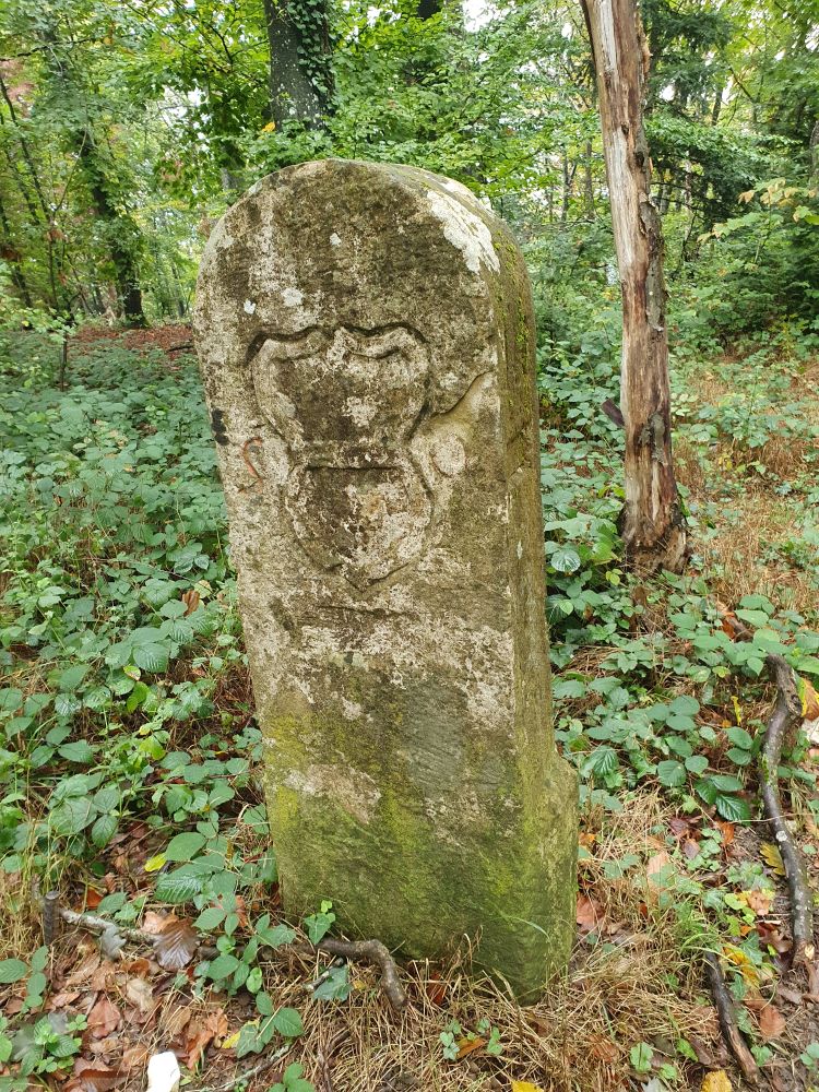
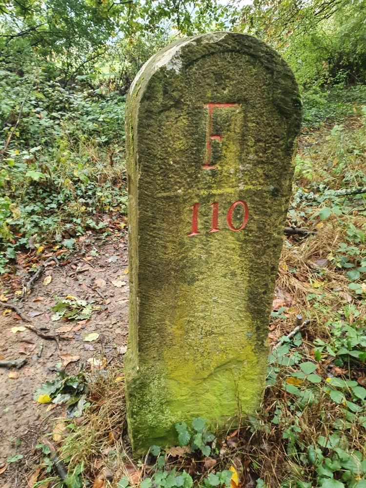
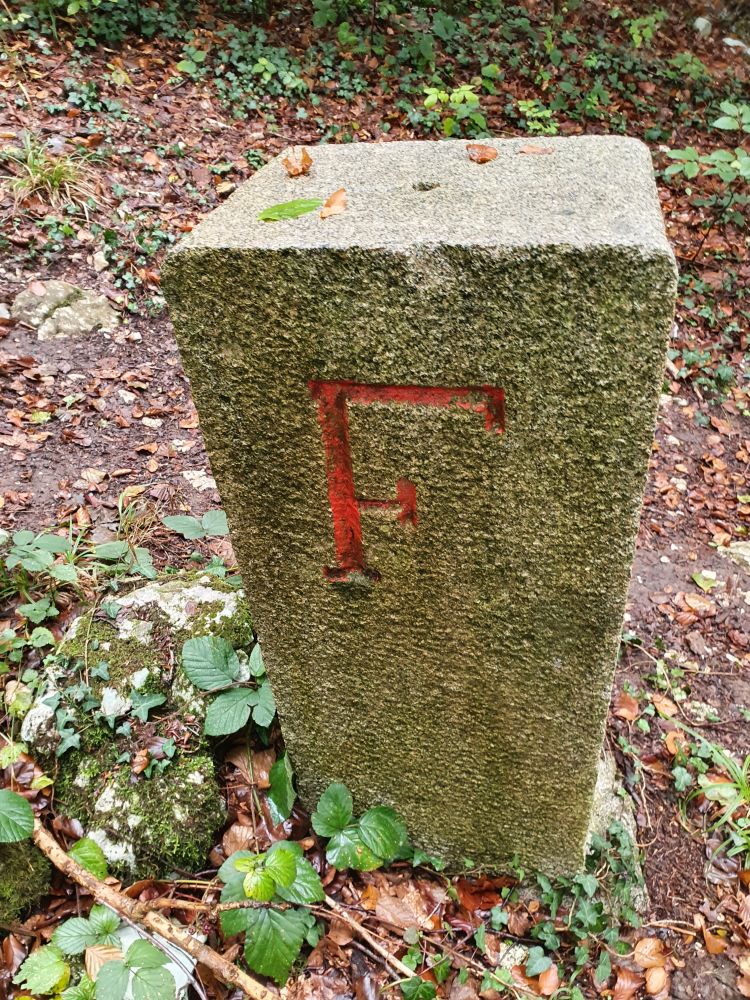
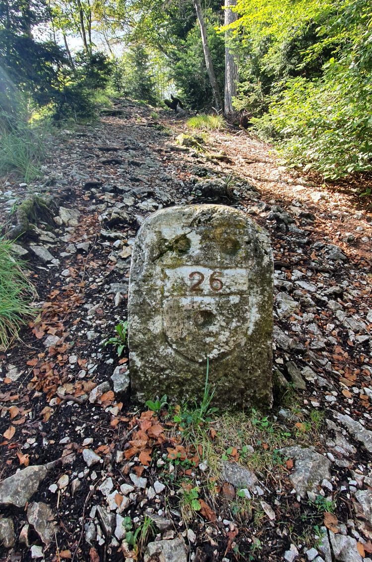
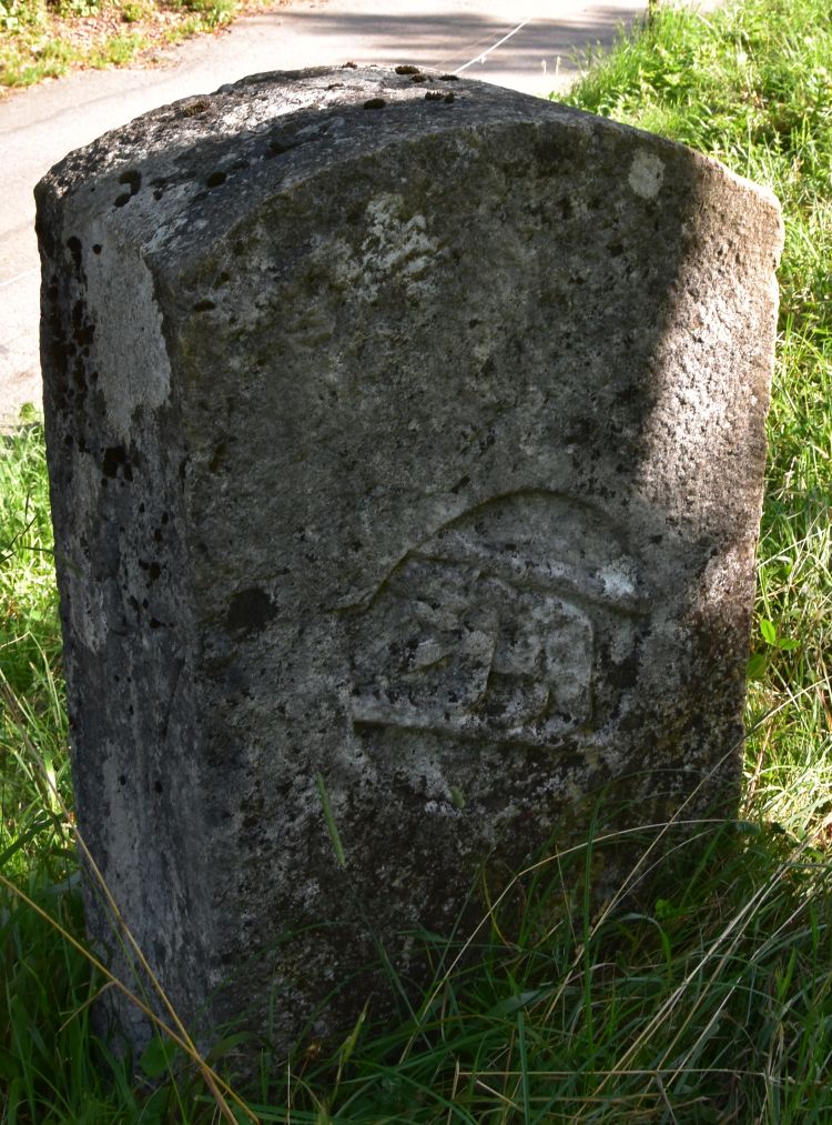
- Historical border stones from the years 1817, 1890 and 1951 between France and Switzerland – why from 1817? And can you see the “D” hidden “behind” the “F” for France?
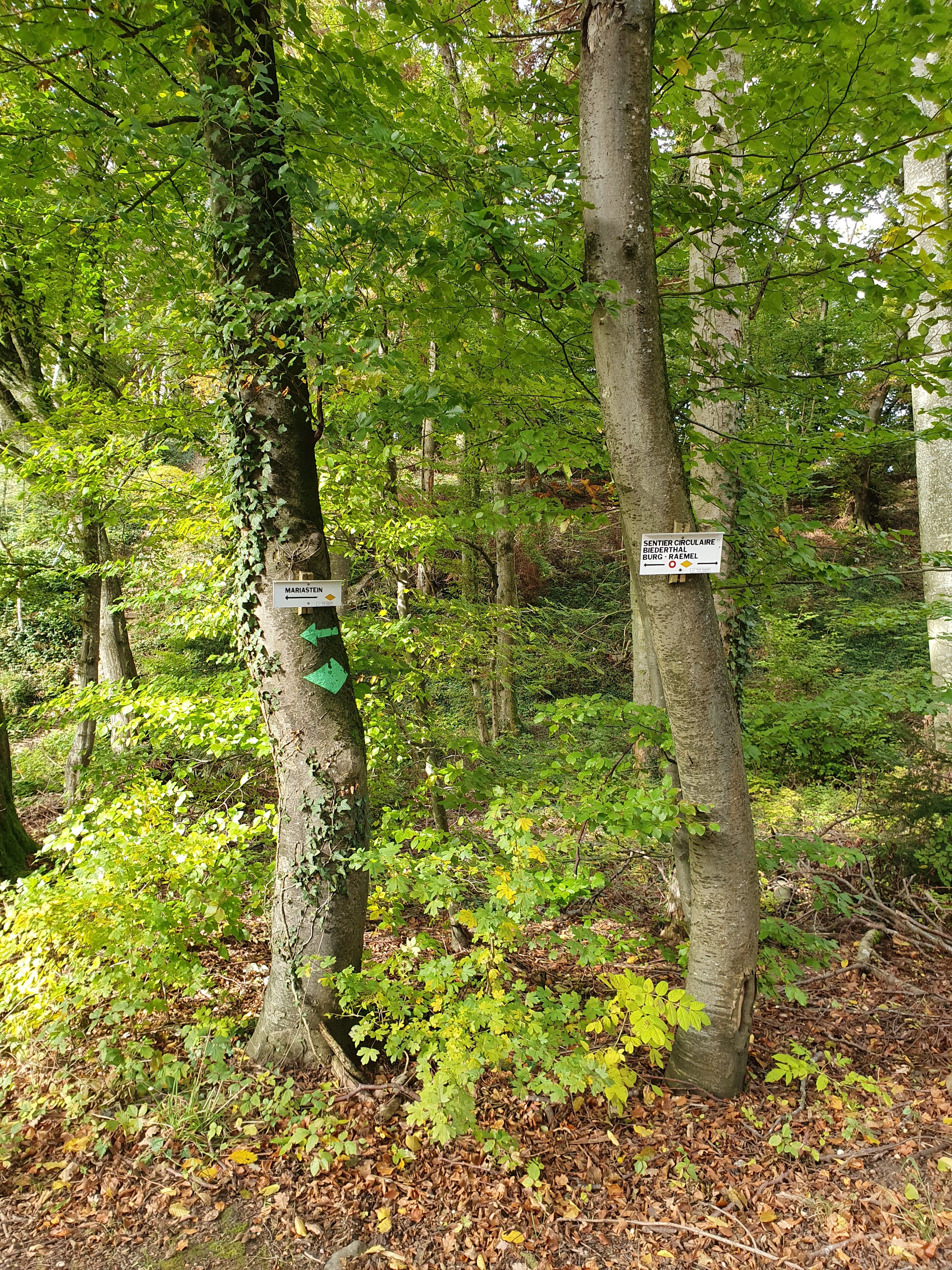
- Biederthal and its castle, Burg (Biederthal) – why are they separated by the border between France and Switzerland?
- Why does the canton of Solothurn (SO) “own” an exclave within Basel (BL)? What can the Burg Rotberg tell us about this?
- Why did the Romans dig a cart road (“Karrweg”) into the rocks to get from Flüh to Hofstetten – avoiding the valley?
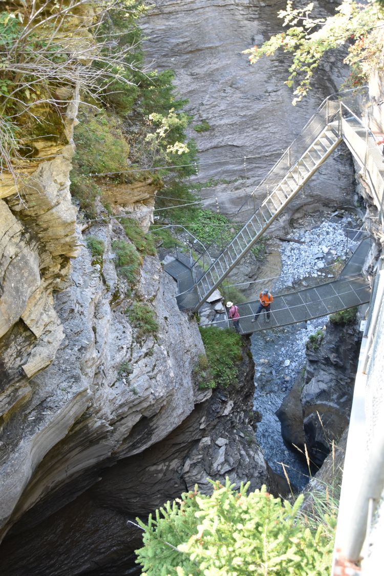
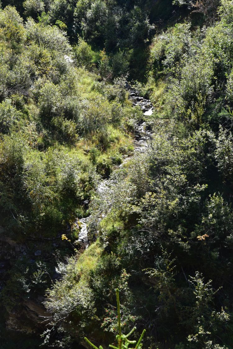
- The Chälegrabe above Hofstetten – why is this spectacular gorge called “Chäle”-Grabe”?
I have talked about secret #1 and #2. Now I continue with secrets #3 and #4 (leaving secret #5 for a later blog).
3 Why does the canton of Solothurn (SO) “own” an exclave within Basel (BL)? What can the castle Rotberg tell us about this?
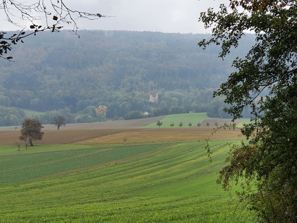
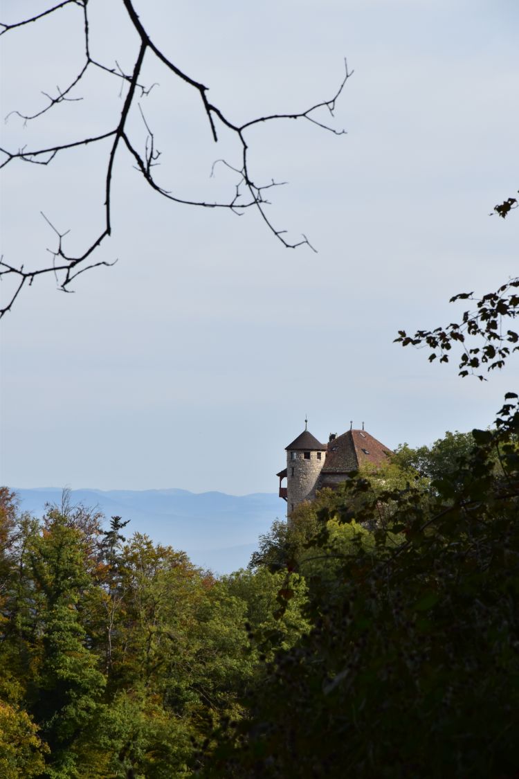
The castle Burg Rotberg is beautifully located on the slopes below the Blauen chain, as seen from across, from the north, when walking from Mariastein to Metzerlen.
This is the view of the castle Burg Rotberg from “behind”; I took it, when walking at the foot of the Blauen.
The castle Rotberg belonged to the noble Rotberg family that had their origins in this area. In 1408, the German emperor gave them the villages Rodersdorf, Metzerlen, Mariastein, Hofstetten, Flüh, Bättwil and Witterswil as a fief. The Rotberg family reported directly to the emperor, and the castle Rotberg was their domicile. However, soon the Rotberg family preferred to live in Basel, while their castle started to decay in the 15th century. 1451-1458, the family supplied the Prince-Bishop of Basel. His name was Arnold von Rotberg, and he is buried in the cathedral of Basel.

In 1515, the noblemen of Rotberg sold all the villages around their castle Burg Rotberg. They sold them to Solothurn for 4400 Gulden, and Basel advanced the money to Solothurn. It is true, for 4400 Gulden, Basel “gave away” the villages that were and are so close to their city.
The castle Burg Rotberg was in ruins until 1934. At that time, it was reconstructed based on romantic ideas about “old” castles and opened up as a youth hostel that has been popular until today.
Solothurn built its territory successfully from the 14th until the early 16th century. Some areas they conquered and others they bought. Their success in acquiring land at the cost of Basel becomes clear, when looking at the modern canton of Solothurn; it almost surrounds Baselland.
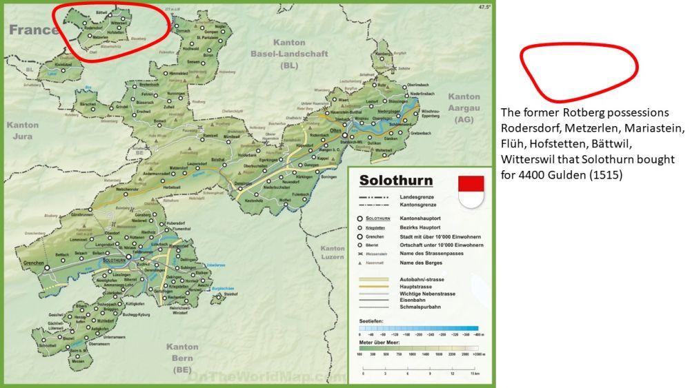
Source: http://ontheworldmap.com/switzerland/canton/solothurn
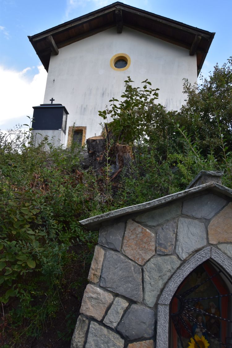
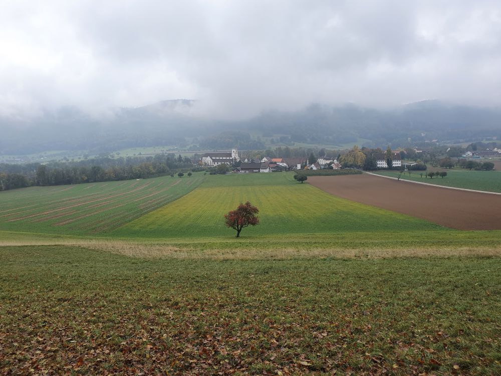
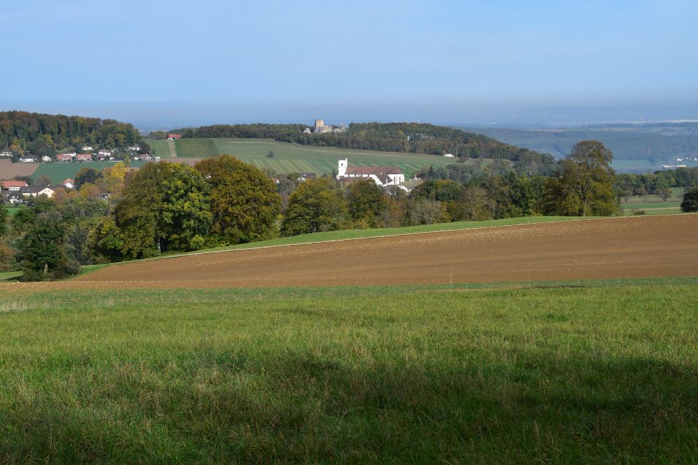
One of the villages now belonging to Solothurn, Mariastein, became an important place of pilgrimage. In 1648, the abbot of the Benedictine monastery at Beinwil decided to move to Mariastein. At Mariastein, he built the neo-gothic church with the baroque interior. The monastery was active until 1874, then closed down and reopened in 1941. The church and the monastery have been fully renovated after 1971. This is the view from the north, with the Blauen chain in the background.
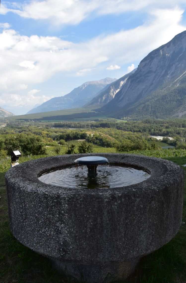
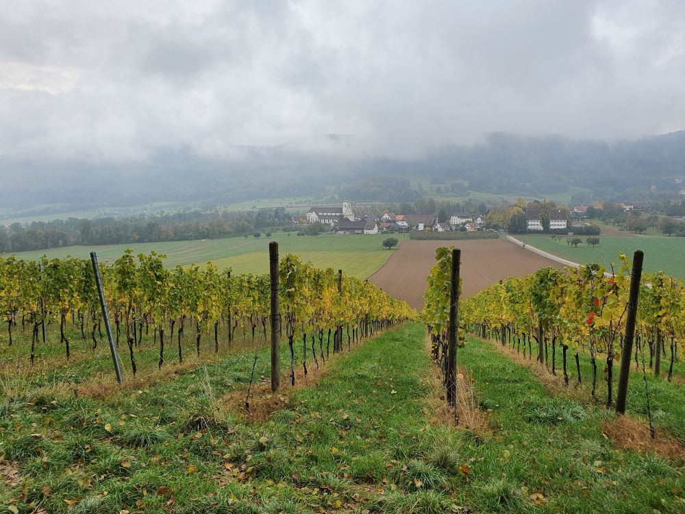
I was surprised to find a vineyard here, above 500m. But, yes, I do understand, monasteries need wine for their Communion.
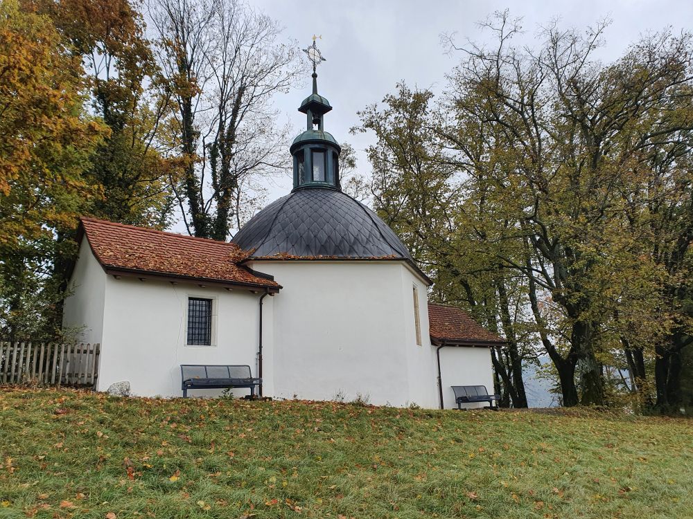
There are many opportunities to pray around Mariastein – this is the Chapel St. Anna.
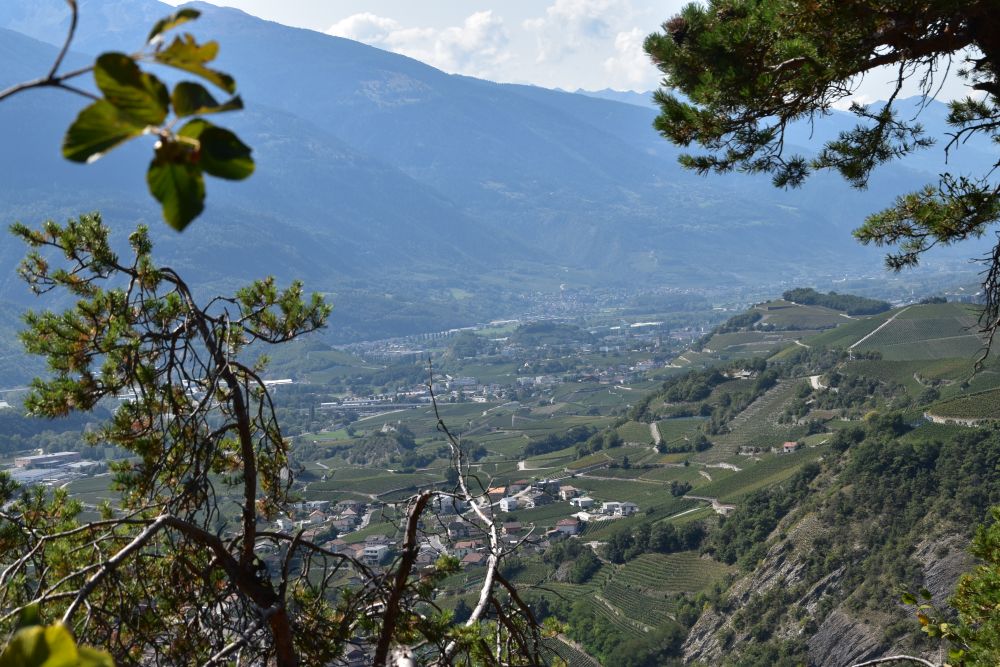
Across, from the south, the panoramic path at the foot of the Blauen chain provides the view of Mariastein with the castle Landskron in the background (the Landskron is already located in France).
Well, now we have learnt, just 4400 Gulden made the area of the Rotberg family become part of the canton Solothurn, of the canton that has been rivalling with Basel 500 years ago.
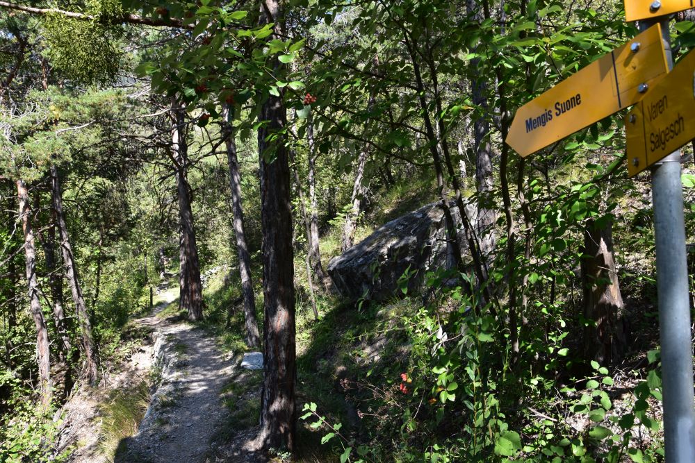
Why did the Romans dig the cart road (“Karrweg”) into the rocks to get from Flüh to Hofstetten – avoiding the valley?
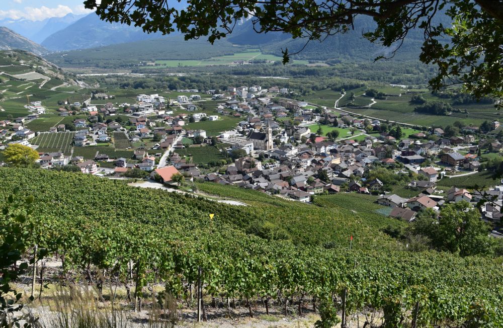
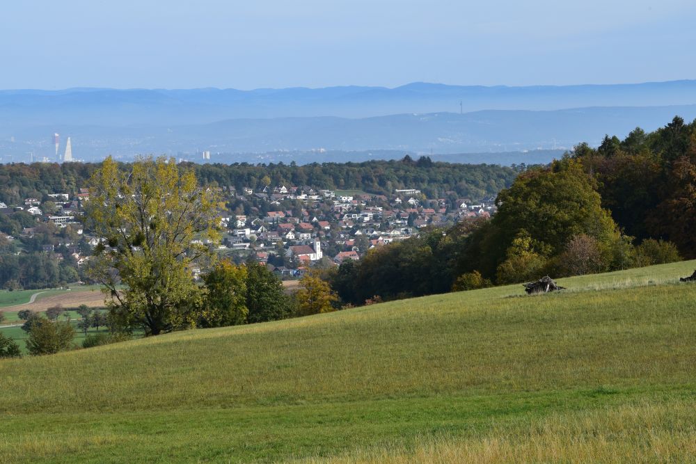
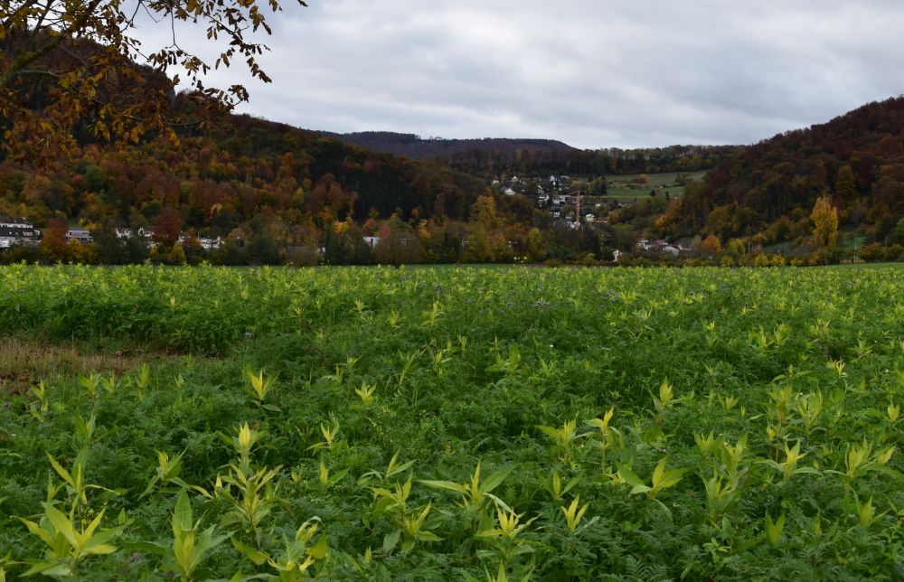
When continuing my way along the foot of the Blauen chain towards Hofstetten, I enjoy the panorama; Hofstetten is located in the foreground; in the background we can see the city of Basel and the Black Forest.
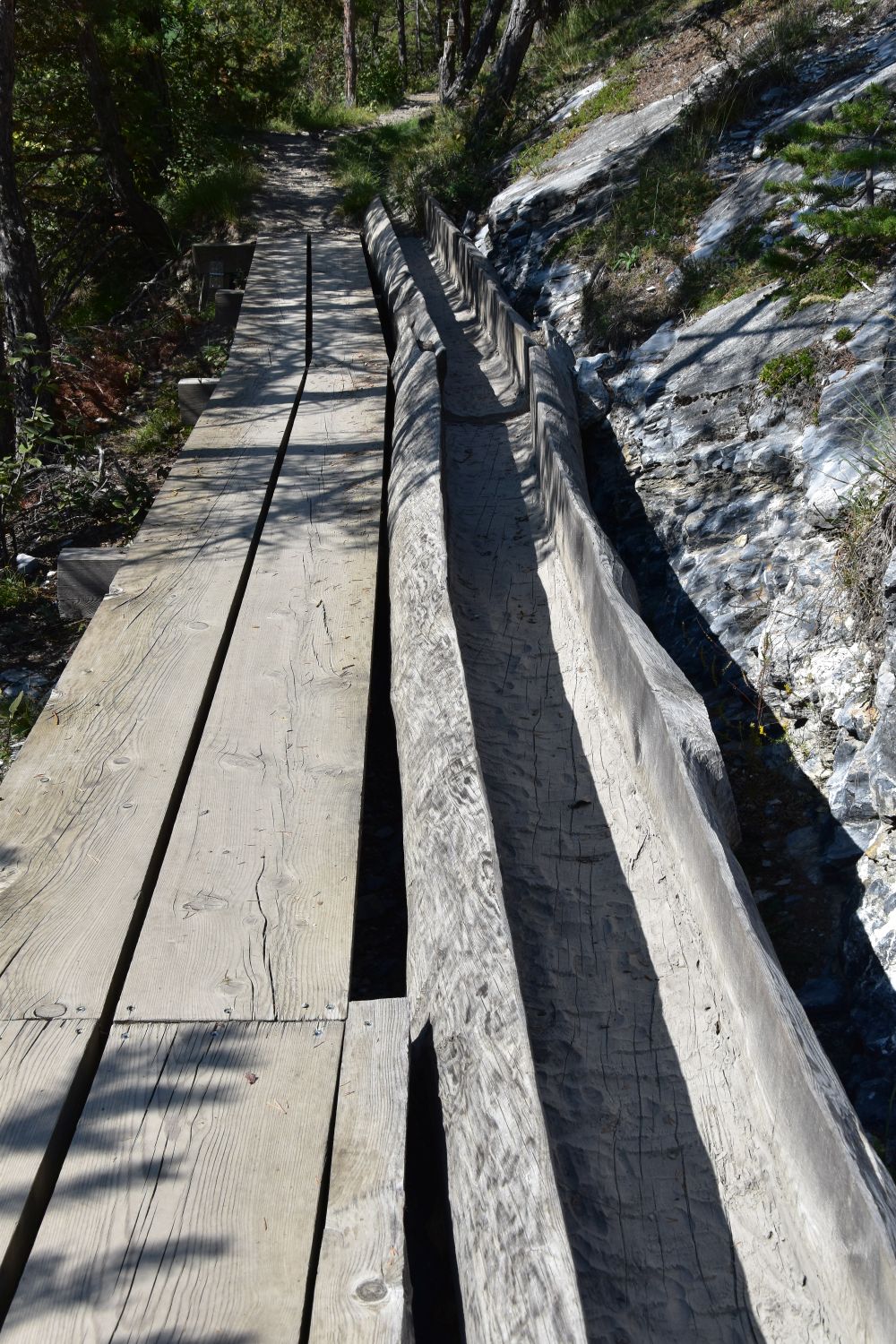
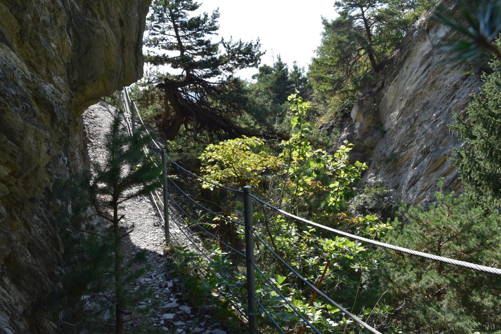
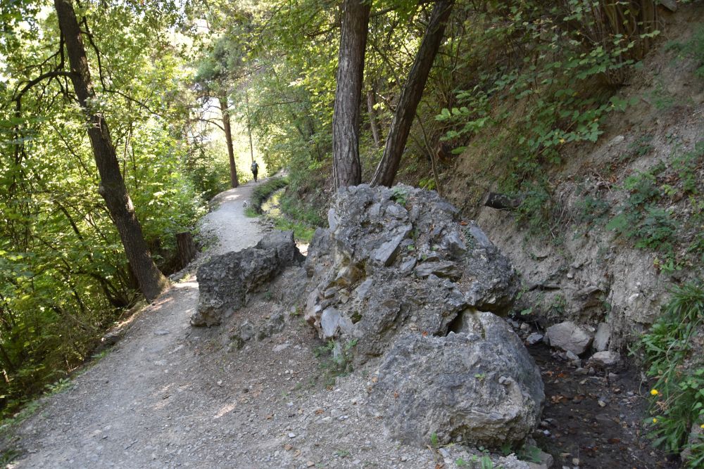
The Flüebach valley leads from Hofstetten down to Flüh. First the Romans built the connecting road in the valley, but the Flüebach used to overflow its banks destroying the road again and again. To make the connection between Flüh and Hofstetten more reliable, the Romans decided to cut the road into the rocks above the valley. This Roman cart road (“Karrweg”) was in use until around 1800.
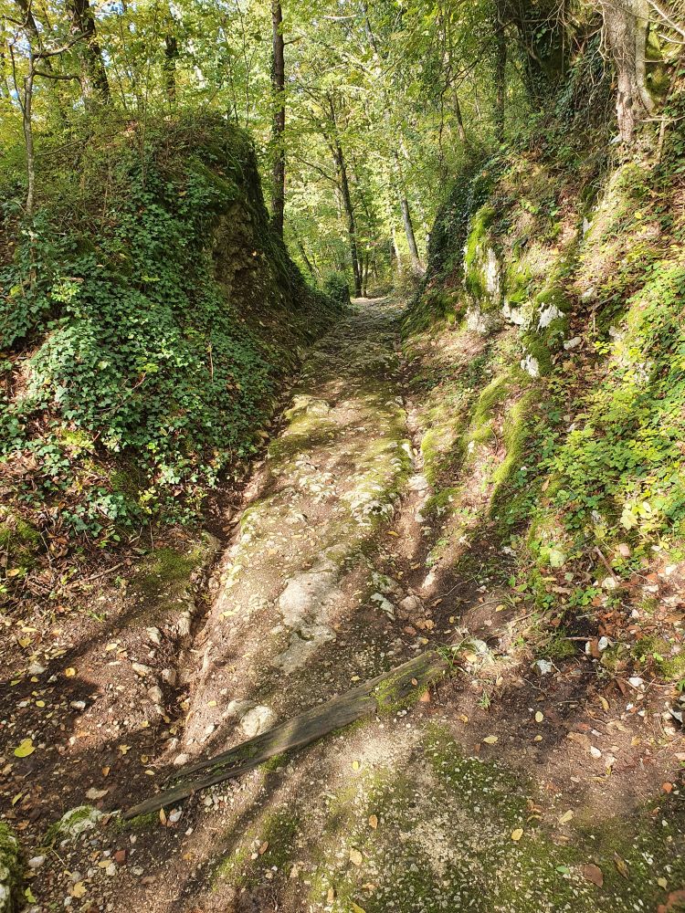
It was the braking wheels of the carts that engraved the marks in the rock. The old Roman cart road is now the hiking path that I take to walk down to Flüh.
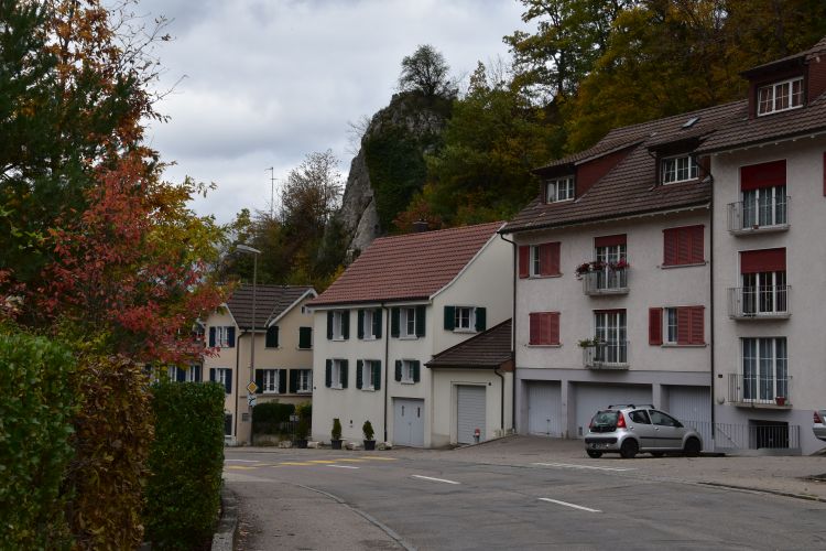
Flüh is attached to the cliffs. Actually around here, in the Jura and in the Pre-Alps, the cliffs are called “Fluh” or in dialect “Flue” (Plural: “Flühe” or in dialect “Flüe” or “Flie”).
The community of Flüh-Hofstetten has published a charming Website illustrating the history with cartoons full of humour. An instructive pleasure to read through it.
By bike, I take the Napoleon route to return home, looking back at the village Flüh that climbs up from the valley towards Mariastein and the Blauen chain.
I intend to return soon to explore the fifth secret, which is the Chälegrabe.