In September 2020, we spent four days at Salgesch. In my former blog, I have already talked about discovering Salgesch and the area around it.
Let us now move a little farther away, to Leukerbad, to the underground lake Saint-Léonard near Sion and to the Pfynwald or Forêt de Finges.
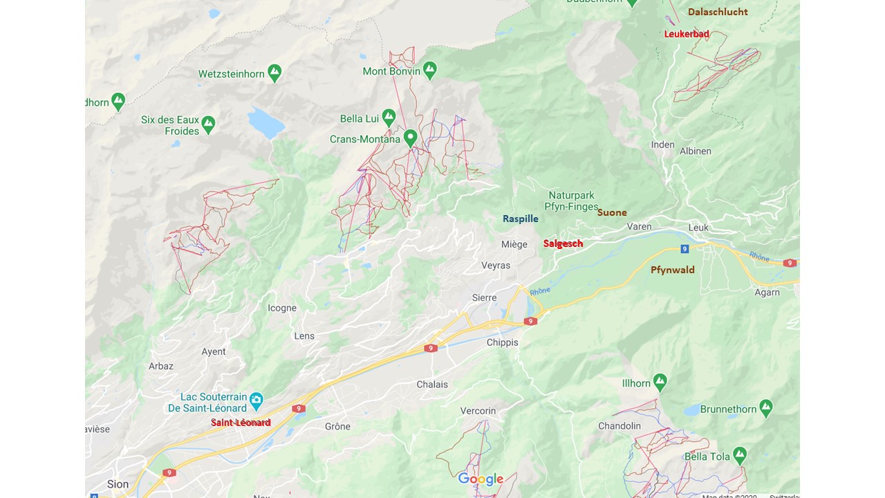
Source: Google Maps
Leukerbad – discovering the hot springs
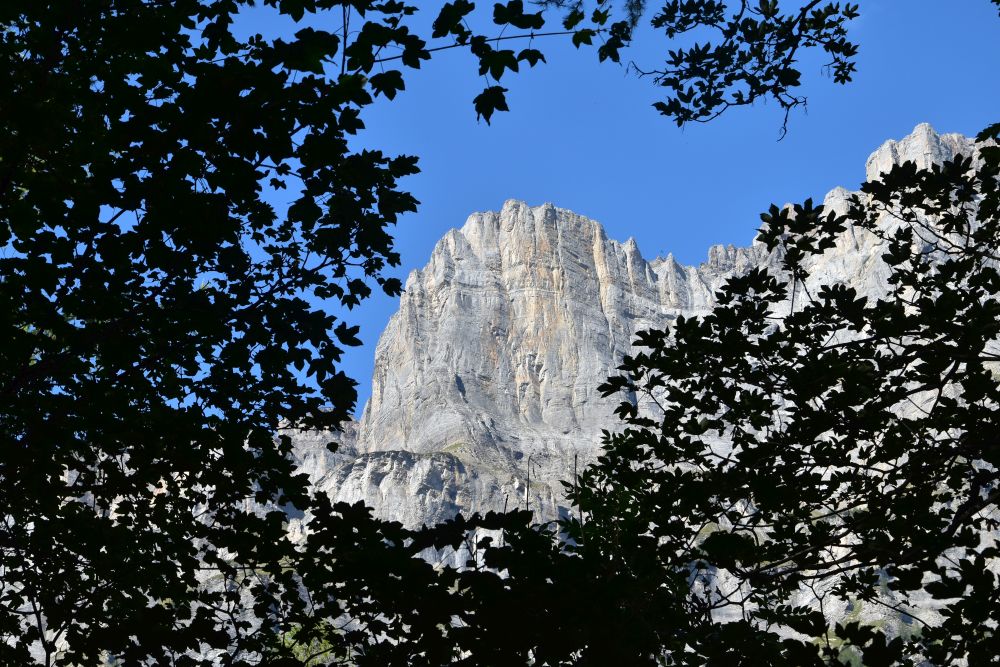
On our second day at Salgesch, we visit Leukerbad, located on 1400m above sea level surrounded by an amphitheatre of steep rocks. Crossing these steep rocks, the Gemmipass connects Leukerbad in the Valais with Kandersteg in the Bernese Alps.
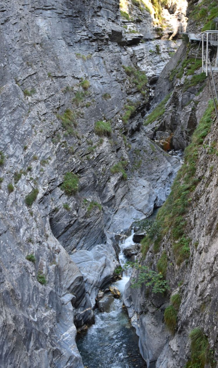
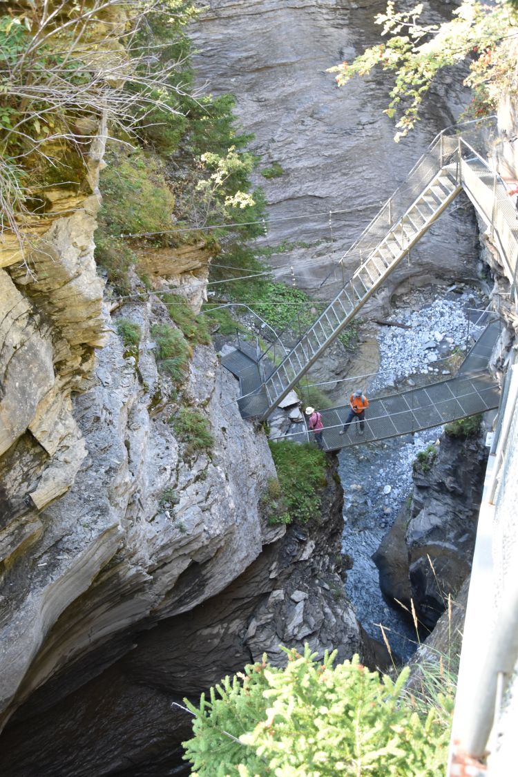
Emerging from these steep rocks, the Dala has eroded a deep gorge above Leukerbad. We explore it using the so-called “Thermal-Springs Gangway”.
I hear a a rattling noise. My friend uses the rope winch to pull up a bucket from the well basin far below. The water in the bucket and hence in the well below us is warm, almost hot.

This is one amidst 65 hot springs in the Dala canyon, as this panel tells us: The yellow-brownish area follows the Dala, and it is here, where the 65 hot springs of Leukerbad have their sources. Some of them have temperatures up to 51 degrees.
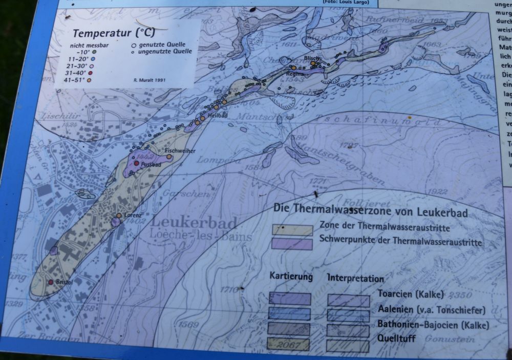
The water emerges in the Dala canyon, after having been heated up at 500m below sea level. Originally it is rain water from the mountains east of Leukerbad (Torrenthorn and Majinghorn) that takes about forty years to seep deeply into the soil, where it is heated up to emerge in this canyon. Already the Romans made use of the hot springs of Leukerbad – the hottest in Switzerland.
Now I understand, why the gangway along the Dala gorge is called “Thermal-Springs Gangway” (Thermalquellen-Steg).
A series of ladders take us out of the impressive Dala canyon.
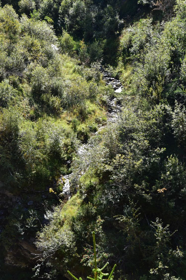
Looking at the creeks and meadows nearby, I can hardly believe that this narrow and steep canyon is so close.
In the warm sunshine, we eat our sandwiches at the romantic green lake Majing…

… with some branches in it.
We return to Leukerbad. Strolling through the village, we touch the water emerging at the fountains – most of it is warm, one fountain is even hot.
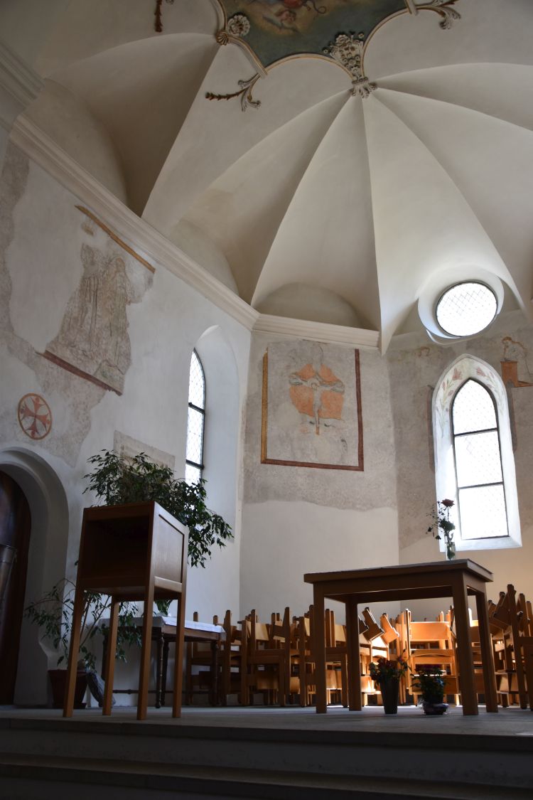
We visit the church of Leukerbad. The original choir is from the late 15th century. Some frescos have been restored such as the crucifixion at the back. In the late 19th century, the church was enlarged and the old choir became a side chapel.
We round off our day at the Alpentherme enjoying the gorgeous view of the mountains in the outside pool, while being massaged by bubbling jets.
The underground lake Saint-Léonard
On our third day, the sky is cloudy and temperatures are cooler. Just right for a visit of the underground lake Saint-Léonard that I had always wanted to see one day.
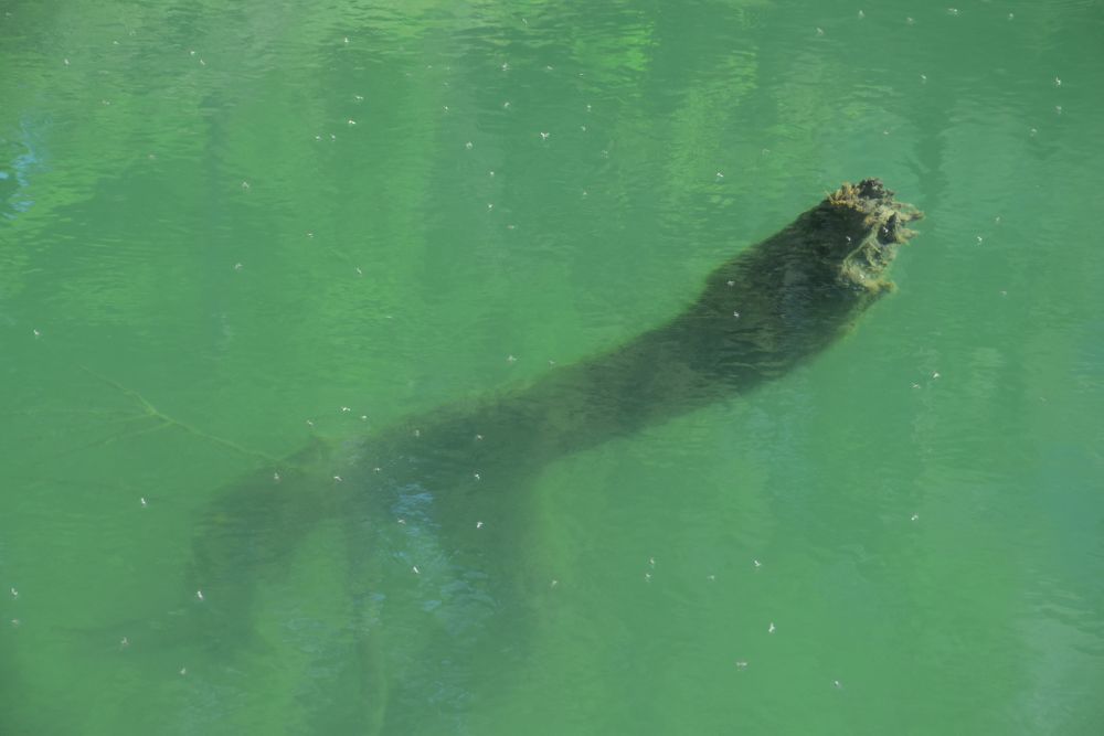
At the entry gate, we have to rush. A few seats are still free in the boat, and we can immediately join the next tour that is about to start. Ladders lead down to the cave. The boat takes us along the lake that is some 300m long and 20m wide. At the end, we find another boat…

… and the trouts swimming around with agility and indicating that the water quality is good.
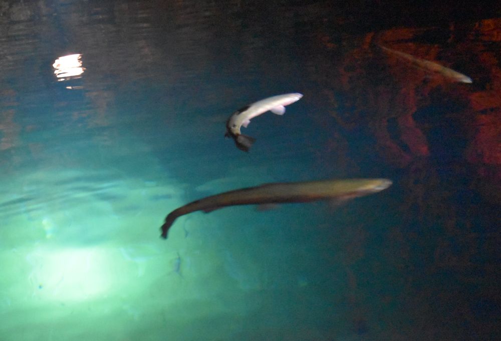
The guide explains to us that the underground lake has been discovered in 1943. At that time, the water level was much higher. An earthquake of 5.6 on the Richter scale made the water level go down. In 1949, the cave was opened to the public.
The Pfynwald / Forêt de Finges
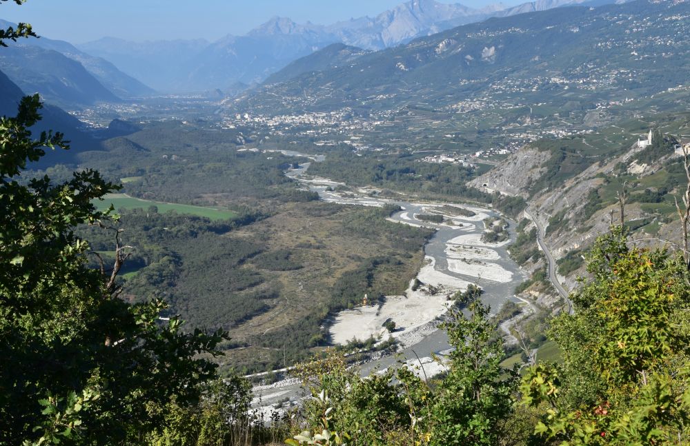
Below the village Varen, the Rhone (called “Rotten” in the Upper German speaking Valais) meanders along the Pfynwald (on the left side of the valley, photo taken from the road to Leukerbad). In the upper forest, the place names are in German and in the lower forest, they are in French, as the language border between the French and the German language crosses the Pfynwald.
The Pfynwald is a nature reserve, and it is one of the largest contiguous pine forests in the Alps.

With astonishment, we notice quite some birch trees amidst the pine trees.

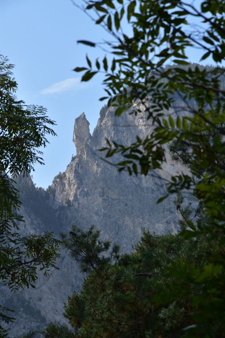
South of the Pfynwald are the Illgraben (canyon of the Ill creek) and the Illhorn (the corresponding mountain peak). Very steep and rough here.
The Bhutan bridge crosses the canyon of the Ill creek. The suspension bridge symbolizes the link between the languages (French and German) and between different cultures (Alps and Himalaya).
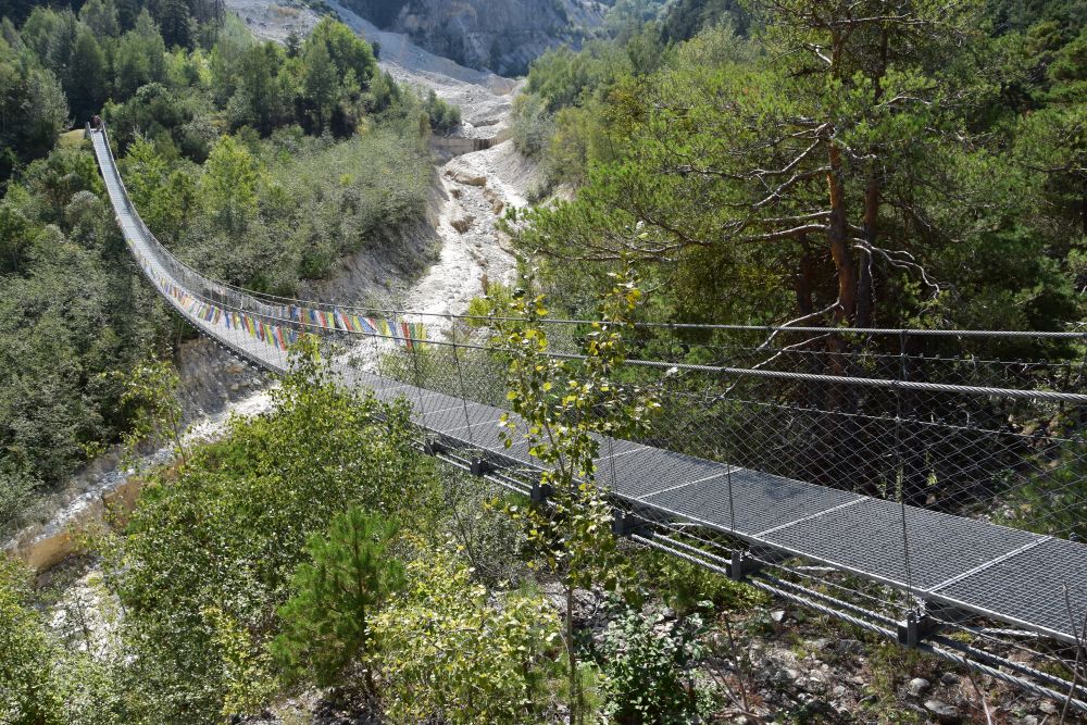
This bridge was engineered in Bhutan and implemented by a construction company of the Valais, guided by an engineer of Bhutan. It was an interesting cooperation, where both sides learnt from one another. This is what the panel on the other side of the bridge explains.
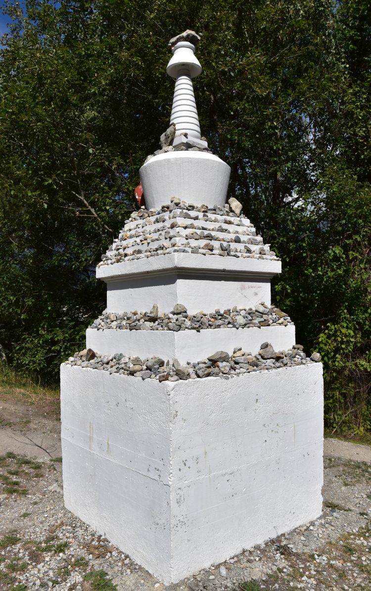
The Buddhist sanctuary, a “chort”, greets hikers at the foot of the bridge. It has been built and blessed by Bhutanese Lamas from France.
After a two hours’ walk in the forest, we return to Salgesch to have our last wine tasting at the cellar of our winegrower and to eat a delicious Raclette at the restaurant Barrique in the centre of the city.
Enjoying the balcony of our BnB
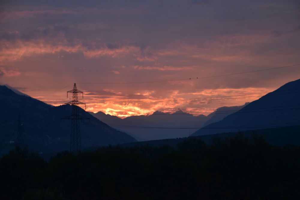
The south facing balcony of our BnB with the view of the Pfynwald (forest) and the Illhorn (mountain peak) was a great place to be in the early morning, when the sun rises behind the glass wall…

… or when it rises behind the clouds.
After our last late summer evening on the balcony, we say good-bye to Salgesch and the Valais. We leave it using the Grimsel, one of the passes that the Alemanni used to migrate to the Upper Valais a 1000 years ago. We think of returning to Salgesch next year, when we will have run out of wine from the Valais once again.
Soruces:
Hans-Ed. Fierz David, “Über die Leuker Thermalquellen…“, Zürich 1942.
Panels along the Thermalquellen -Steg
André Beerli, “La Suisse Inconnue: Valais”, TSC and Shell Switzerland, oJg.
