Discovering treasures, while being forced to just walk around Basel
As from April to August I was forced to stay at home, I walked and walked discovering and rediscovering gems around Basel. Here is the third set of gems in the southeast, on the Gempen and the Wartenberg.
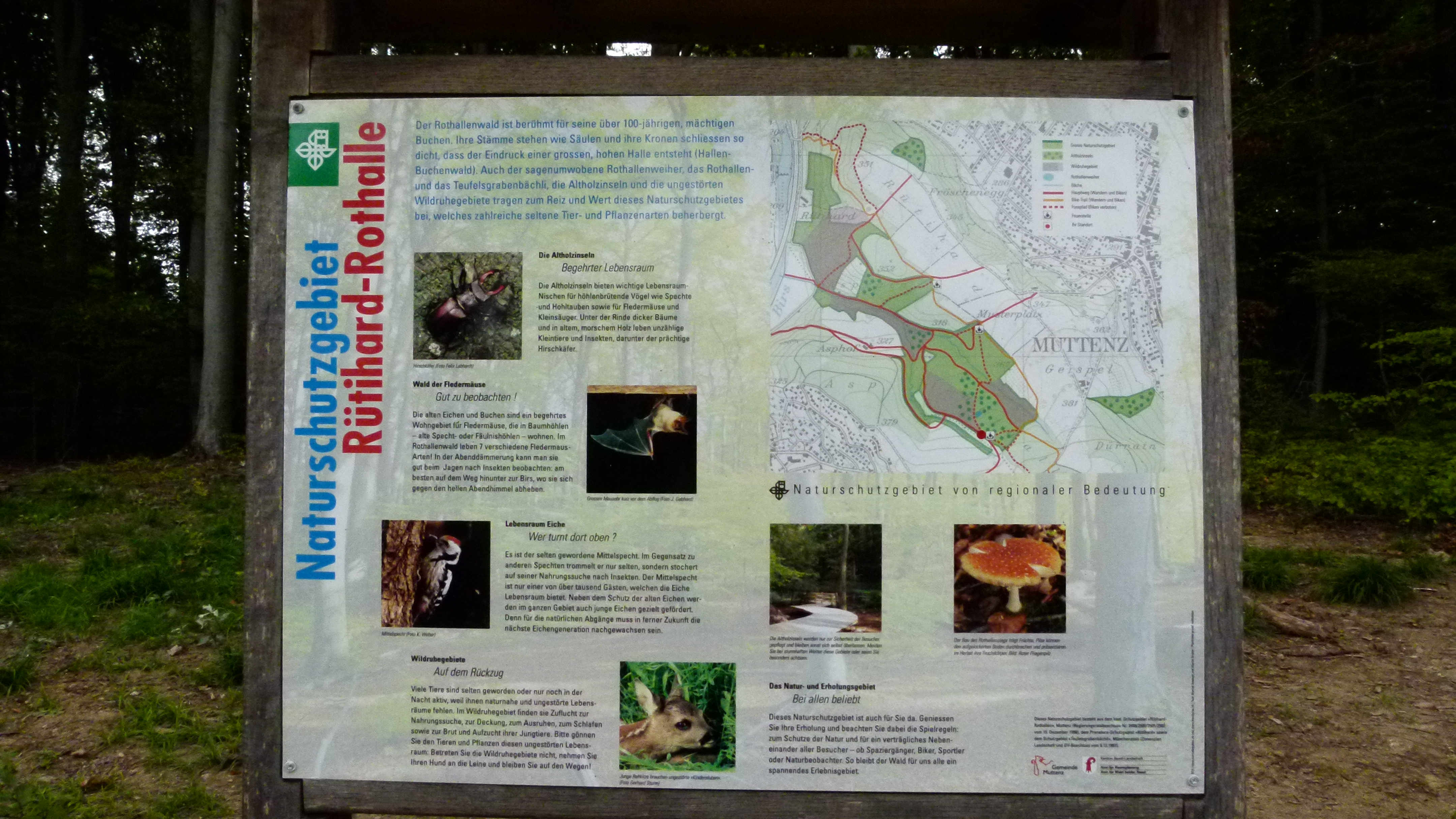
This is the map showing the mountain/hill of Wartenberg (between Muttenz and Pratteln) and the long stretched mountain plateau of the Gempen. The gems that I am talking about in this blog are highlighted in grey: The bunkers, the Rothallenweiher and the Sulzkopf with the Sulzgrube. In addition I found more background information about the Wartenberg being a valley and not really a mountain.

Source: Bundesamt für Landestopographie 213T – Basel
.
Trying to understand why the Wartenberg is not a mountain, but a valley
In the former blog “discovering treasures around Basel: To the southeast II“, I remembered that my geography teacher always told us: “The mountain Wartenberg is a valley” and he also showed us the signs of the Rheintalflexur under the cascades of the Birs near the “Schänzli”. I found a document of H. Laubscher from the ETH (Rheintalflexur und Tafeljura) that helps me to come closer to understanding this paradoxon of the “mountain Wartenberg that is a valley”. I borrow one figure from this document:
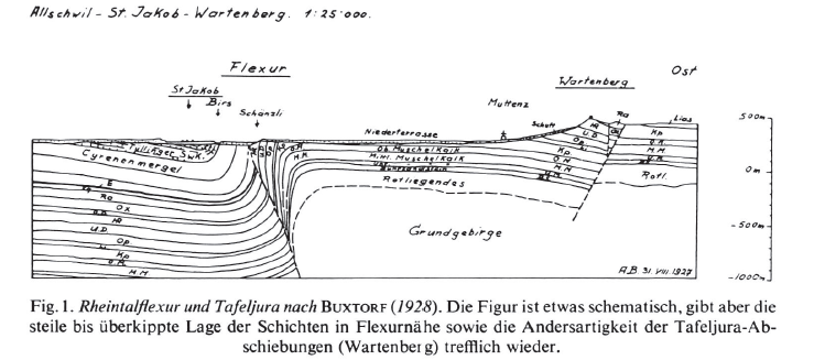
The Wartenberg is a ditch; it slid down, as the figure shows. Hence it is a “valley”. It was also bent, as it hit the brick wall of the Sundgau near St. Jakob. This “flexur” has been uncovered even more, when building the Schänzli motorway tunnel (Rheintalflexur). The Wartenberg slid down and was lifted up at the same time – becoming the “mountain” with its southwards facing slopes that host the vineyards and give us the wine that we keep as a secret for us… I also have some bottles of Jauslin wines in my cellar.

.
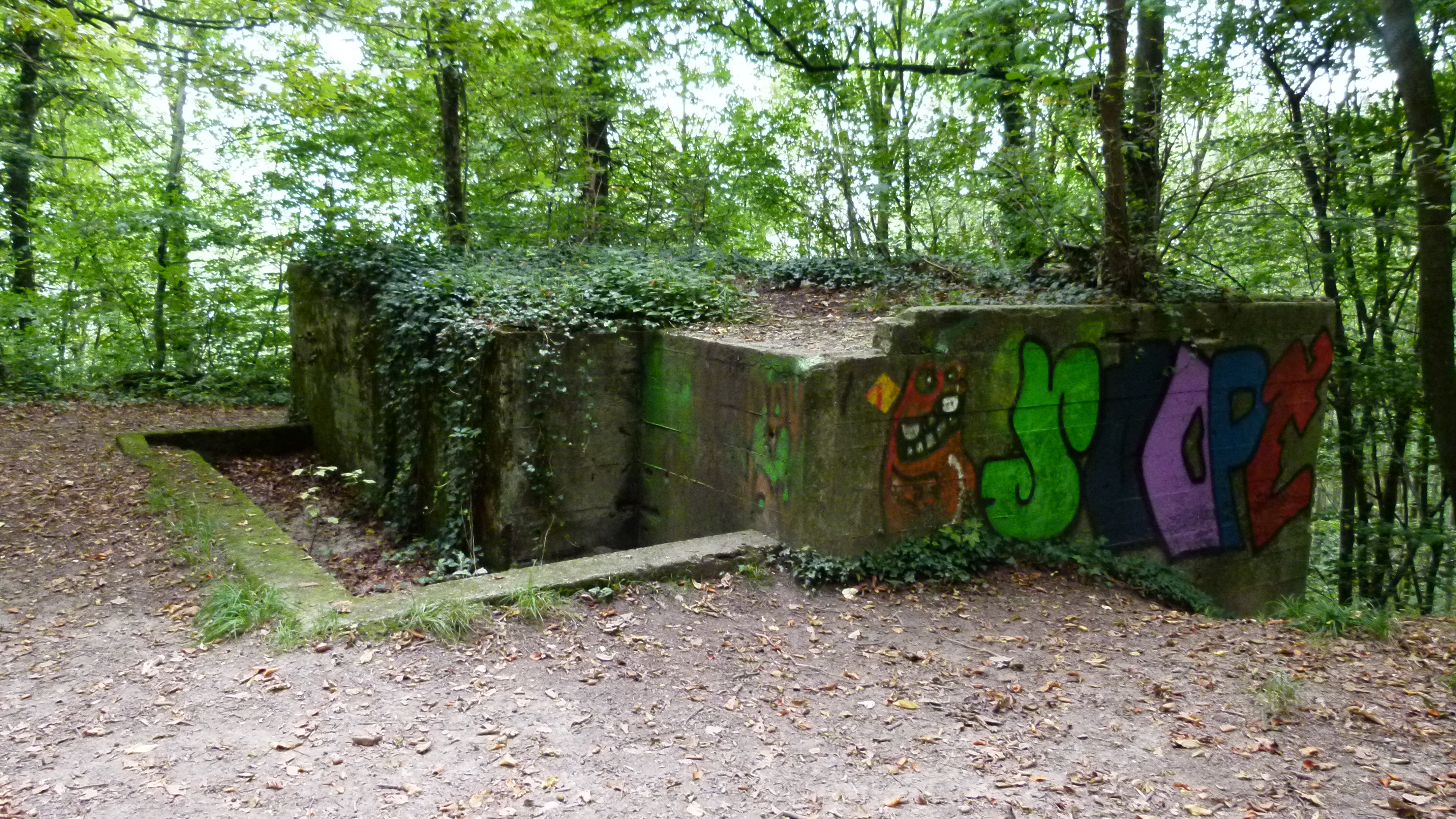
The bunker forest
From the Birs and the “Rheintalflexur” near St. Jakob, a steep path leads to the Rütihard. The forest is full of deactivated bunkers from the first and second World War. They now serve as platforms for sprayers. Here are two examples, one with the bishop’s crook of Basel Town (Baselstadt) and one with some more abstract forms.

There are also many picnic places here. I can smell that families with their children are roasting “Klöpfer” (traditional sausage/cervelat of Basel) on the open fire.
.
Rothallenweiher (Pond of Rothallen): Deep water full of legends în the nature reserve “Rothallen”
A small path leads to the pond of Rothallen. A wooden trail surrounds the pond and protects the fragile vegetation of mushrooms and moss. A wooden platform allows accessing the pond.
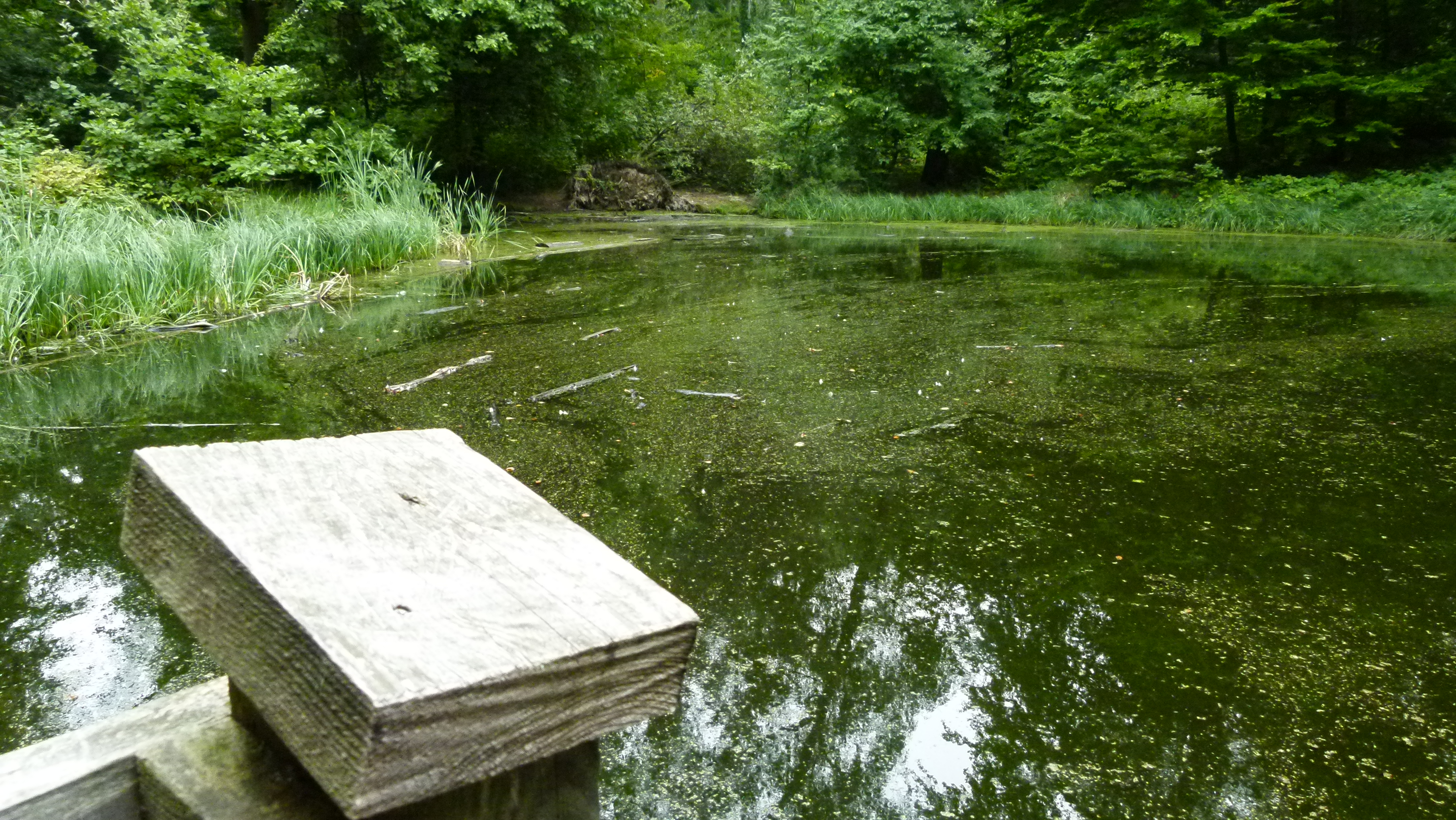
The pond belongs to the network of nature reserves in the trinational area around Basel.
According to the explanations, the Rothallenweiher is a doline filled with water. It is extremely deep – we ignore how deep it is. Legends tell that knights fell into the pond and their souls sometimes resurge from the water. In the 1990s Muttenz cut some beech trees around the shore to let the sun in and add some water plants. Insects and amphibians live here. This is a place to come back to in spring to observe the animals.
.
Sulzkopf (or Sulzchopf) with Sulzgrube
The Sulzkopf is the most well known picnic place around Muttenz.
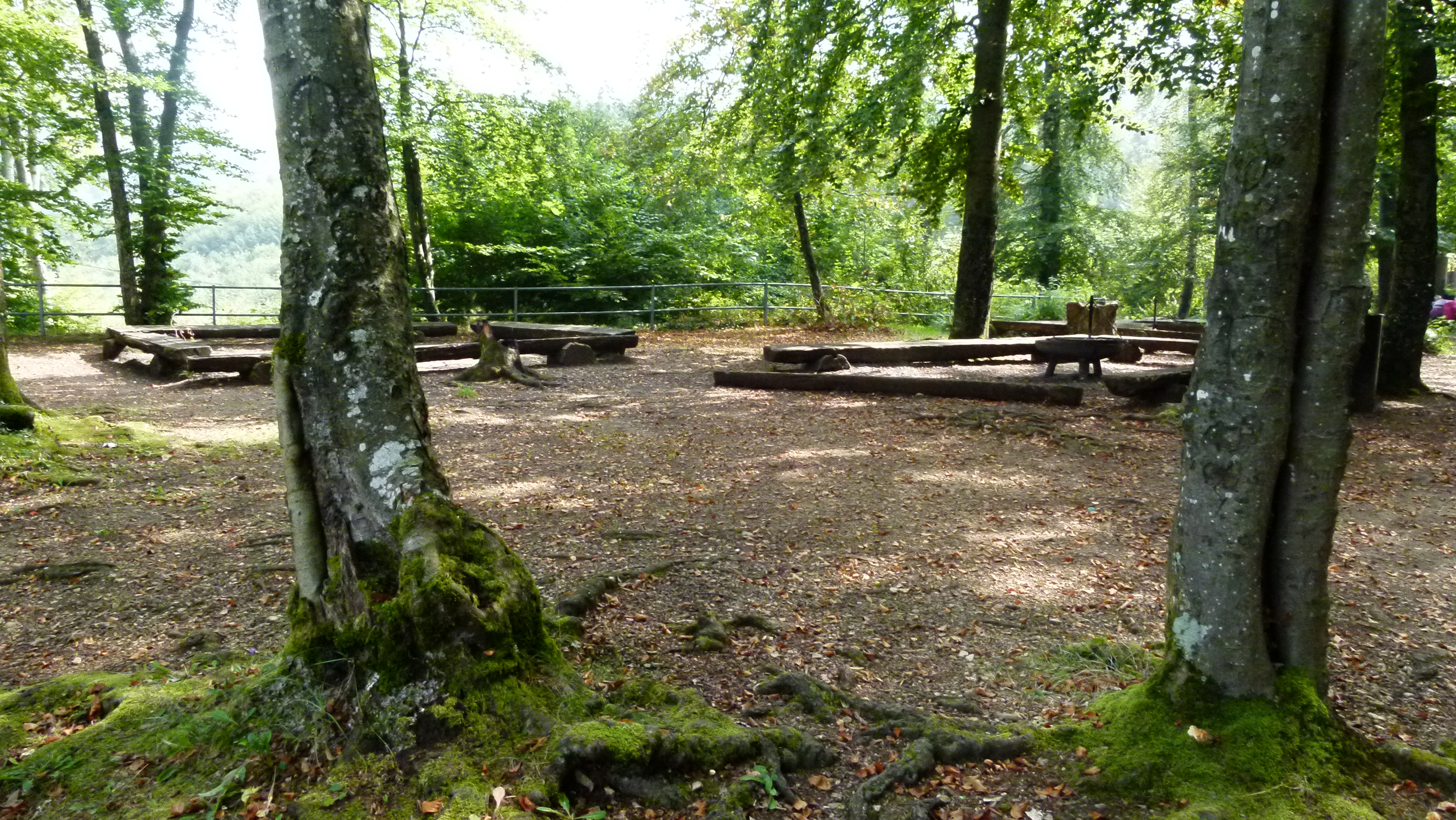
There is also a hut here that can be rented.

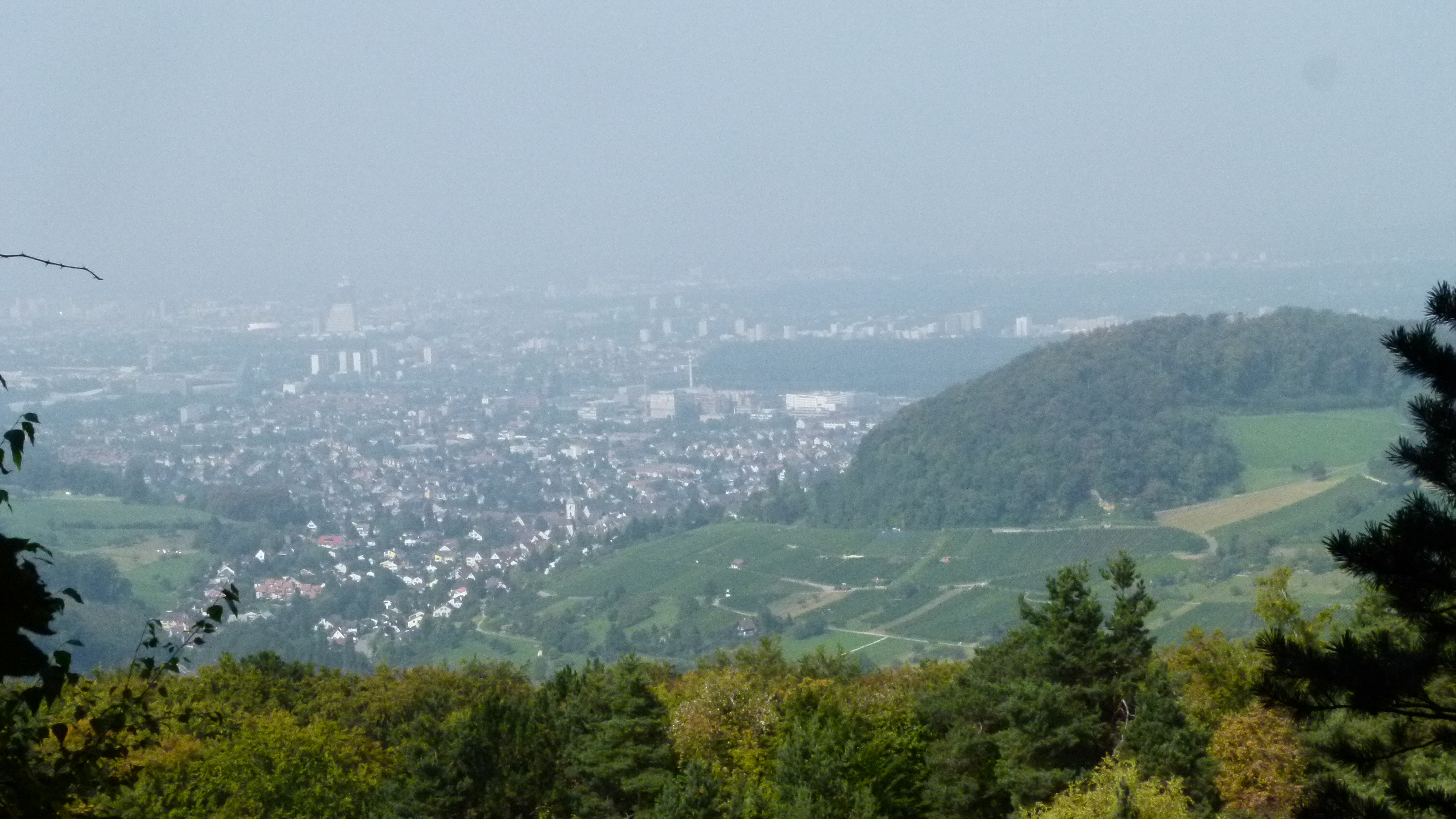
The view of Basel and bordering Germany and France is superb (we call this trinational area “the corner of three countries” or “Dreiländereck”).
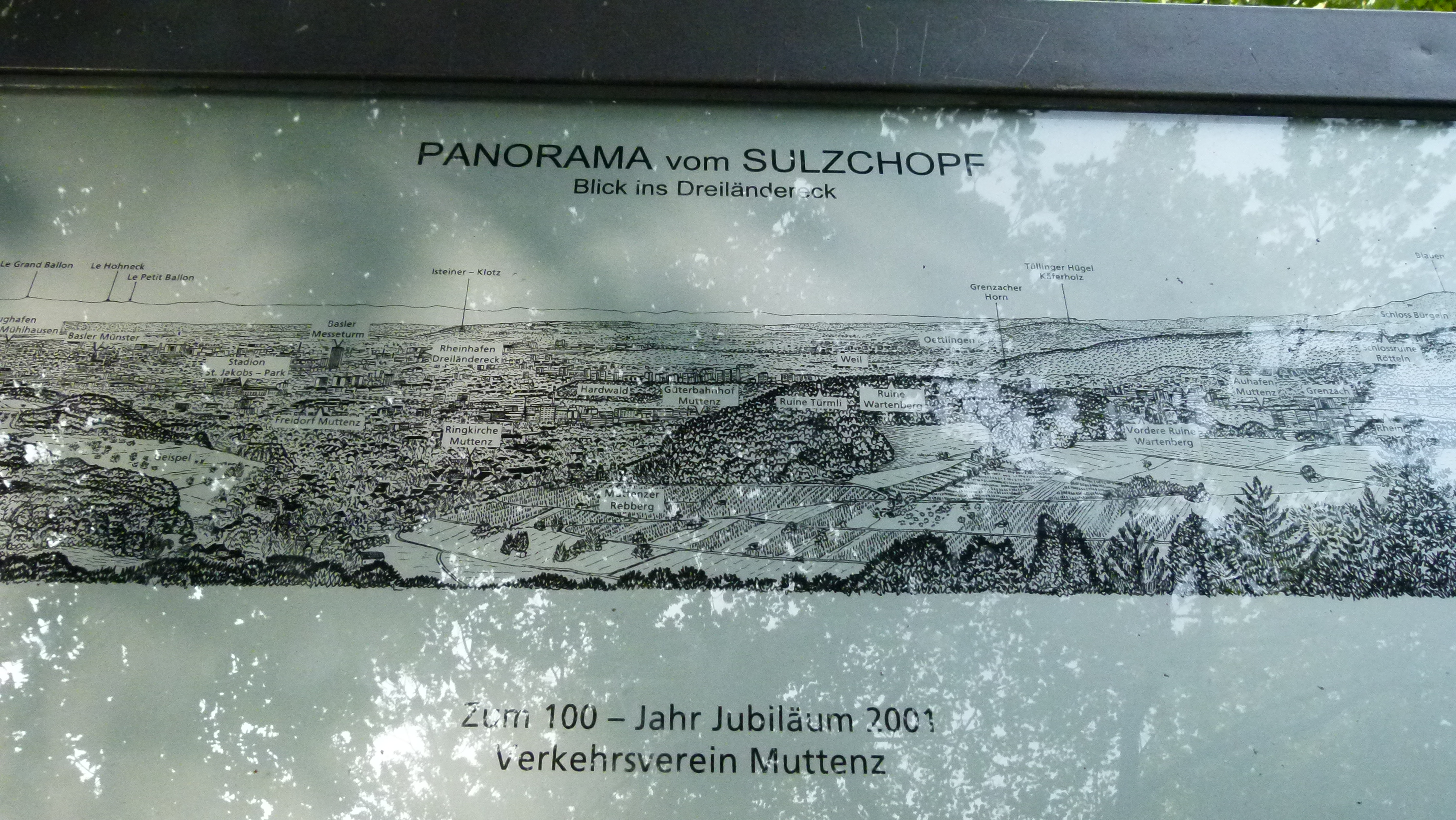
The vineyards and the three fortifications of the Wartenberg are just vis-a-vis. Basel, the Black Forest and the Vosges are often in the haze – also today.
“Sulz” is a medieval term for salt water and appears in place names (toponyms) in Southern Germany, Switzerland, Alsace and Austria (wikipedia). Just below the Sulzkopf, the Rhein Salinen AG extracts salt near the farm “Eigental”. As the name “Sulz” shows, our ancestors knew about the salt here!
Below the Sulzkopf is the Sulzgrube. This is an old quarry abandoned in 1918. Now it is a nature reserve that hosts rare plants, e.g. 12 orchids, as the community of Muttenz explains proudly.
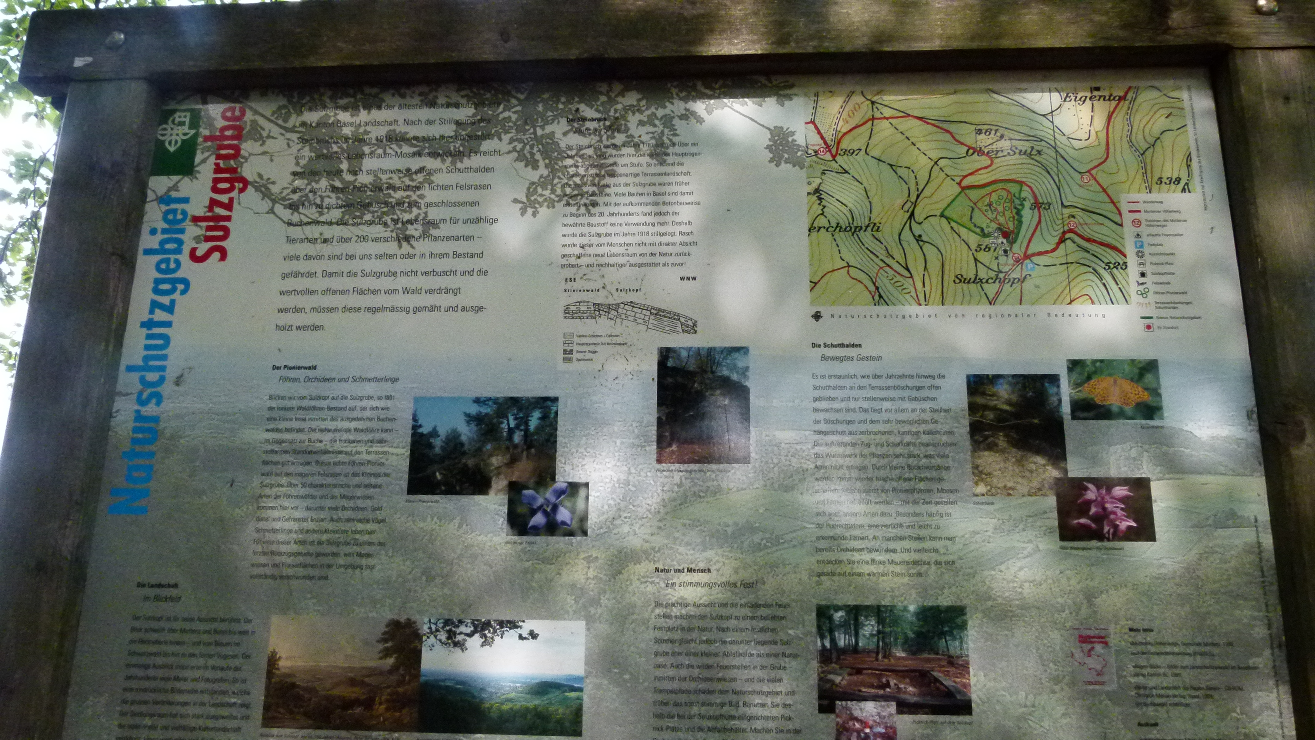
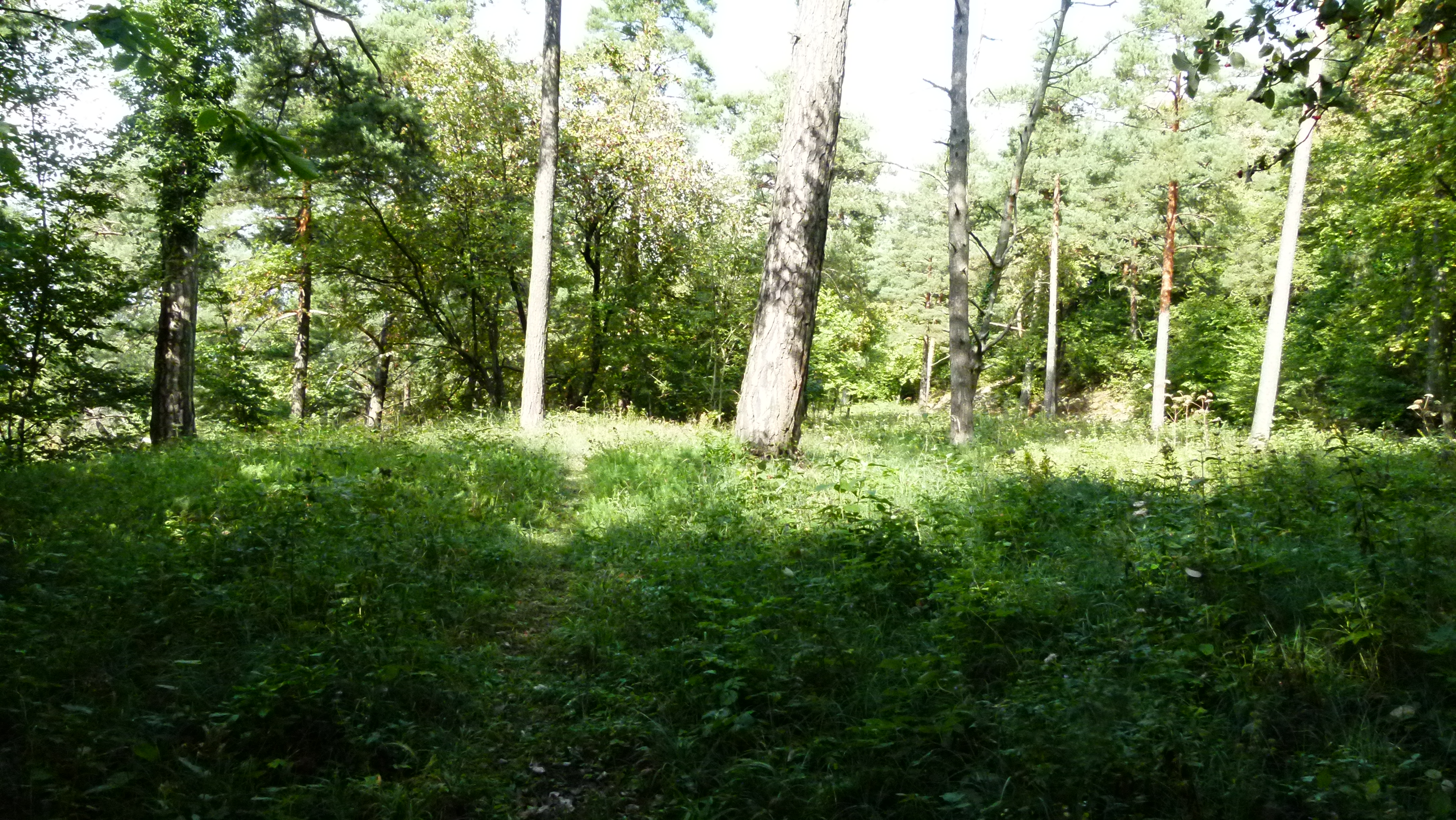
The Sulzgrube is just pure nature.
The access is not highlighted. I find a steep trail not far from the Engental that takes me to the Sulzgrube – and, but this is not straighforward at all – eventually to the Sulzchopf, just behind the hut.
.
There are more treasures around Basel
This was the third selection of treasures from southeast of Basel. There are more treasures around Basel and I will continue to write about them. I love to travel and discover cultures far from mine, and now I enjoy diving deeper into my roots at home while recovering more and more.
