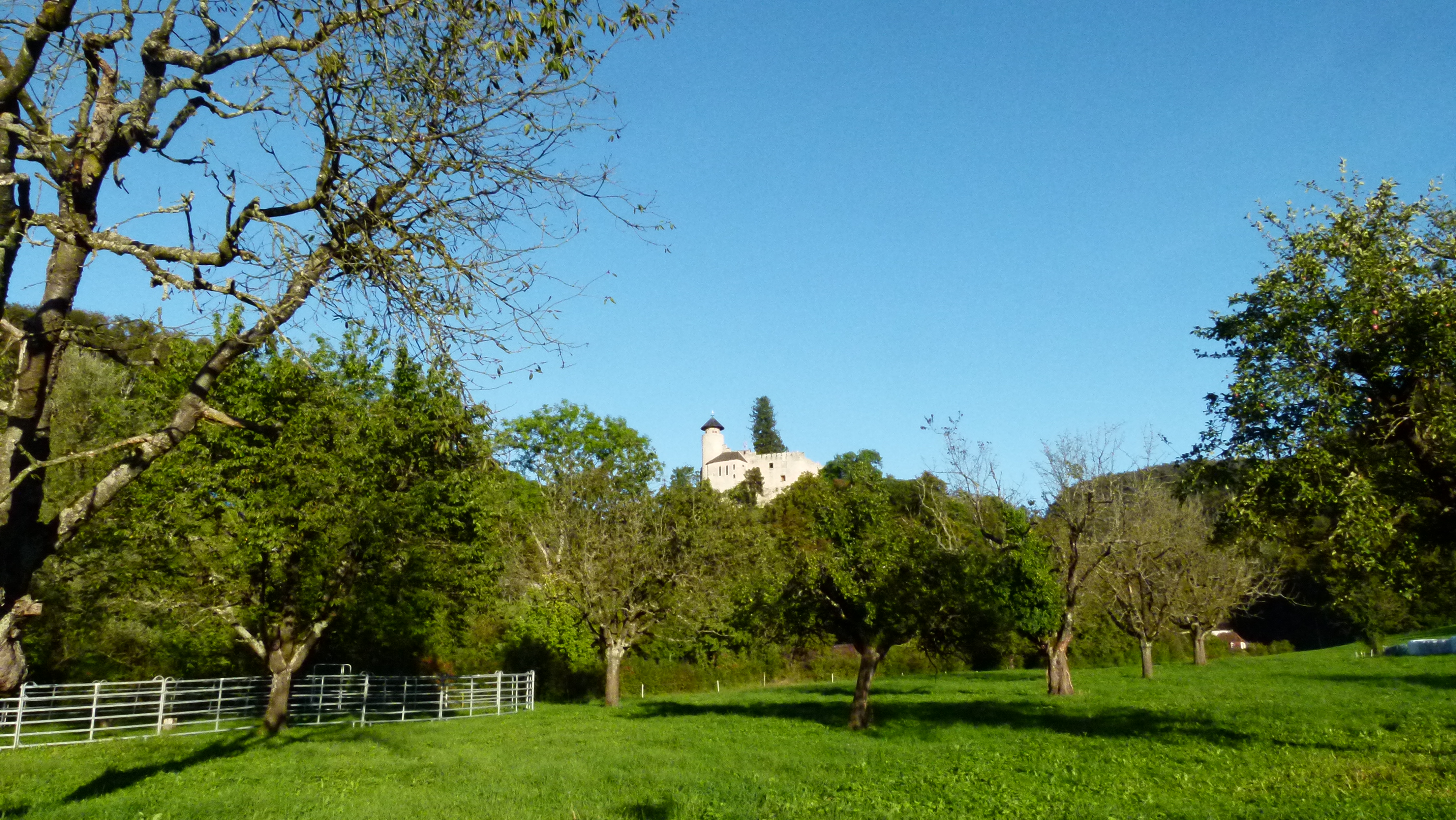
The Rigi Kulm – queen of the mountains
“The Rigi Kulm is an imposing Alpine mass, 6000 feet high which stands by itself and commands a mighty prospect of blue lakes, green valleys, and snowy mountains…” says Mark Twain (Samuel Langhorne Clemens) in his book “A tramp abroad” in chapter XXVIII. He climbed the Rigi in 1897.

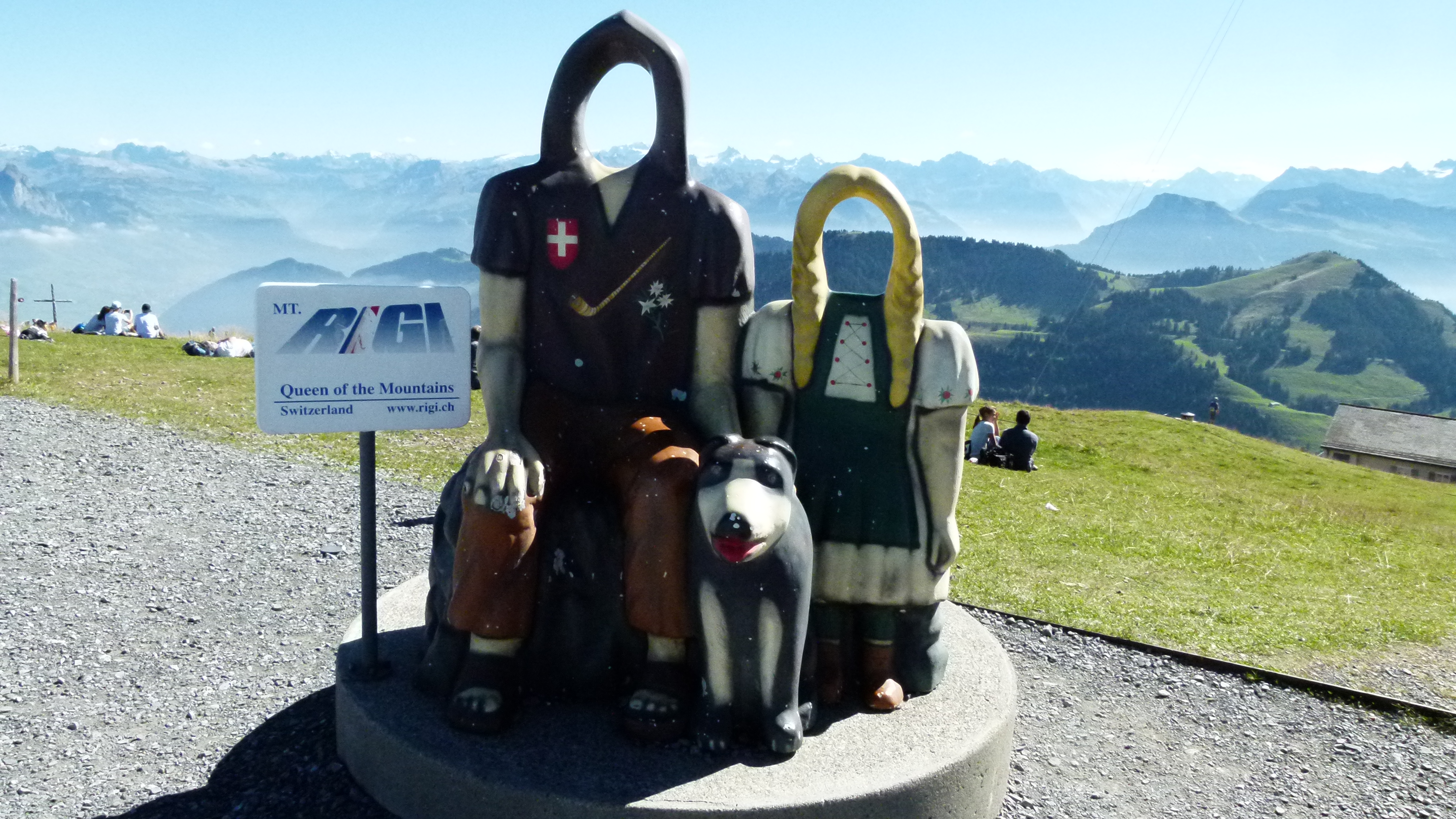
The tourist offices call the Rigi “the queen of the mountains“. On Rigi Kulm, tourists can even pretend to be real Swiss people from the mountains that do nothing else but look after their cows, sheep and goats, supported by their dogs – and they will always remember that they took this picture on the RIGI.

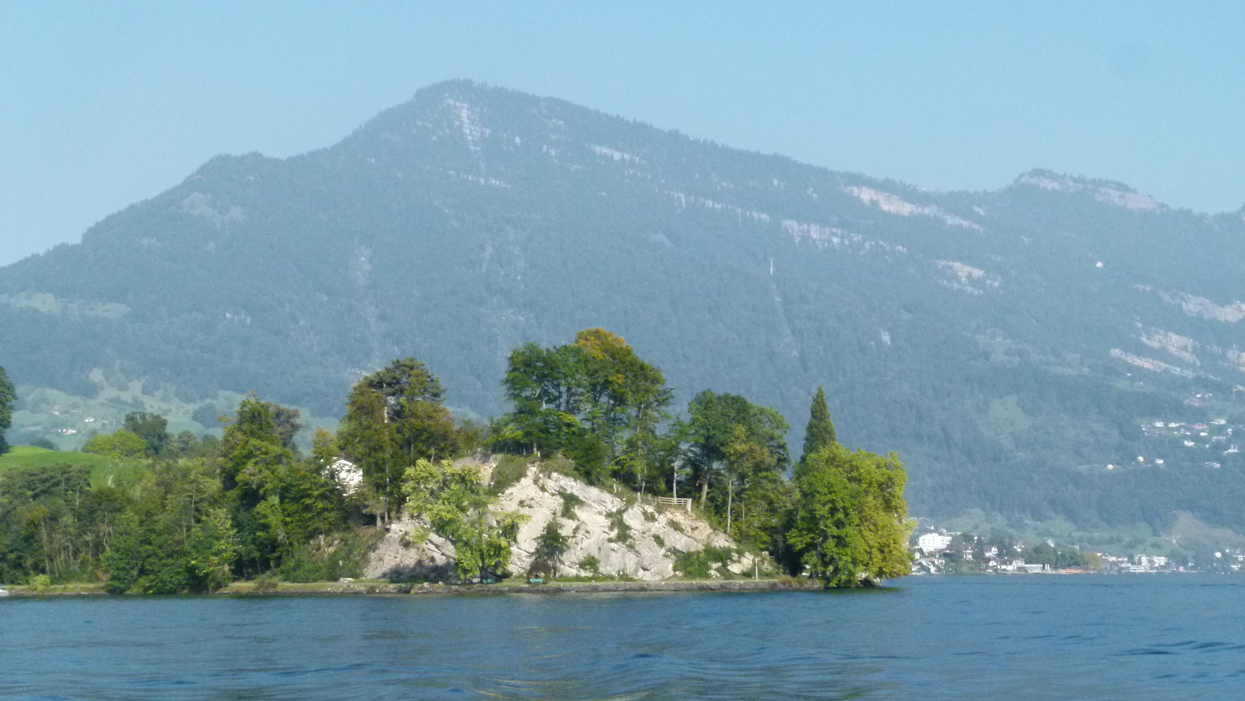
Rigi Kulm – the very top – may be queen of the mountains for the gorgeous view. But the Rigi is not just one summit, it is a world of its own. It is a massif with several peaks: Rigi Hochfluh, Rigi Scheidegg and Rigi Dossen. My mum was a geologist and she made it clear to me that the Rigi massif is not part of the Alps, but it belongs to the Central Plateau of Switzerland (“Mittelland”).
.
A beautiful autumn day with bright air – just suited to walk up the Rigi on Mark Twain’s tracks
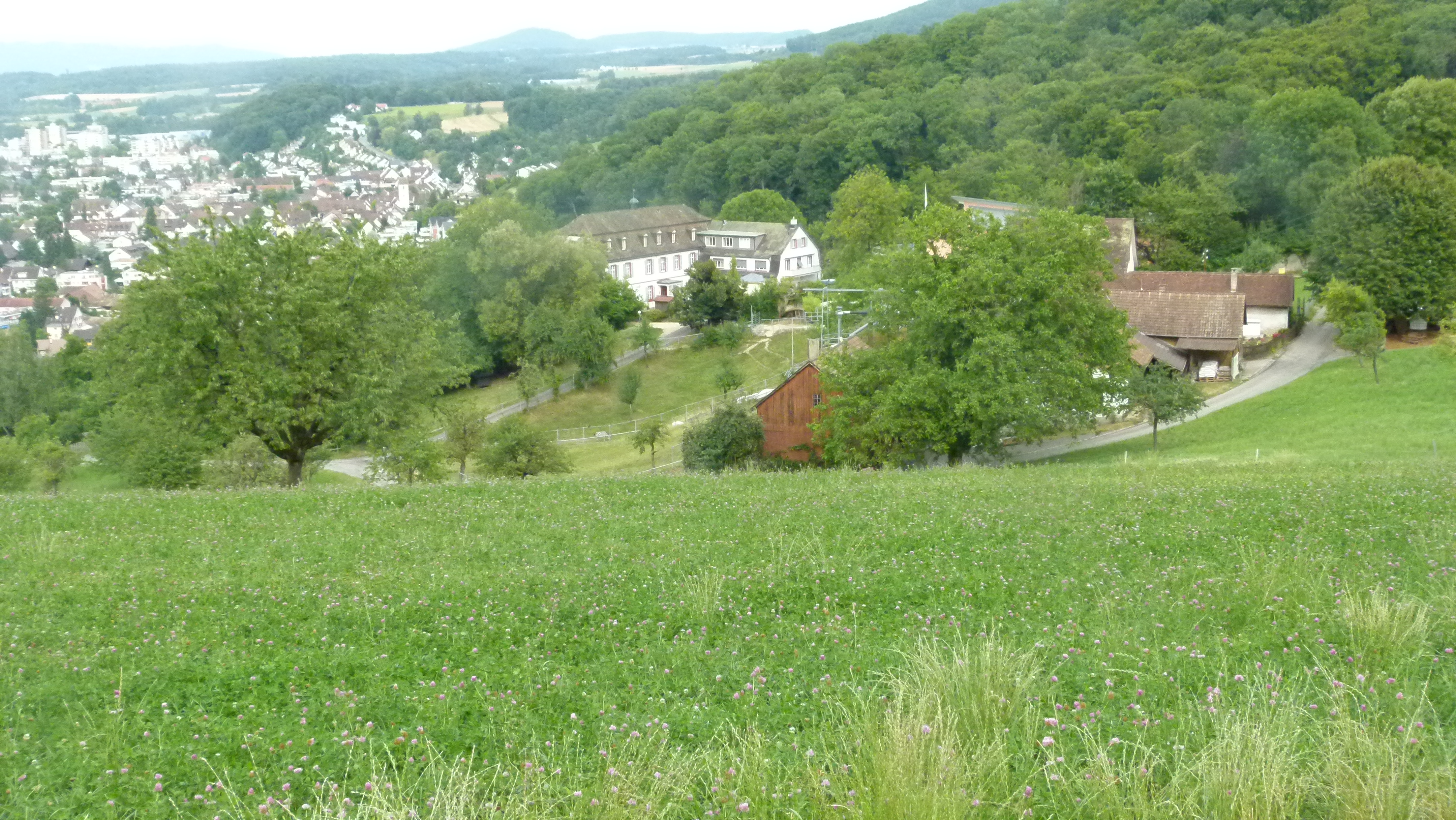
We have not been spoiled by Petrus this summer, but this Saturday end of September is exactly right for the Rigi, the queen that commands so many lakes and mountains. My friend from Hawai (now Swiss) bought a Swiss railway day ticket for two which was a bargain. We packed our daybags and took the seven o’clock train from Basel to Lucerne. With Mark Twain’s “A tramp abroad” and the map of the Themenweg in our hands.
Like Mark Twain, we went by boat from Lucerne to Weggis. “I and my agent panoplied ourselves in walking costume, one bright morning, and started down the lake on the steamboat; we got ashore at the village of Wäggis, three quartes of a distance from Lucerne. This village is at the foot of the mountain” (Mark Twain, Ch. XXVIII). I assume that they also carried “Alpenstocks”: “Most of the people… are in walking costume and carry alpenstocks. Evidently it is not safe to go about in Switzerland, even in town, without an alpenstock” (Chapter XV, Mark Twain observing tourists in the Hotel Schweizerhof in Lucerne). Today it seems that without two Nordic Walking sticks it is not safe to go about in Switzerland.
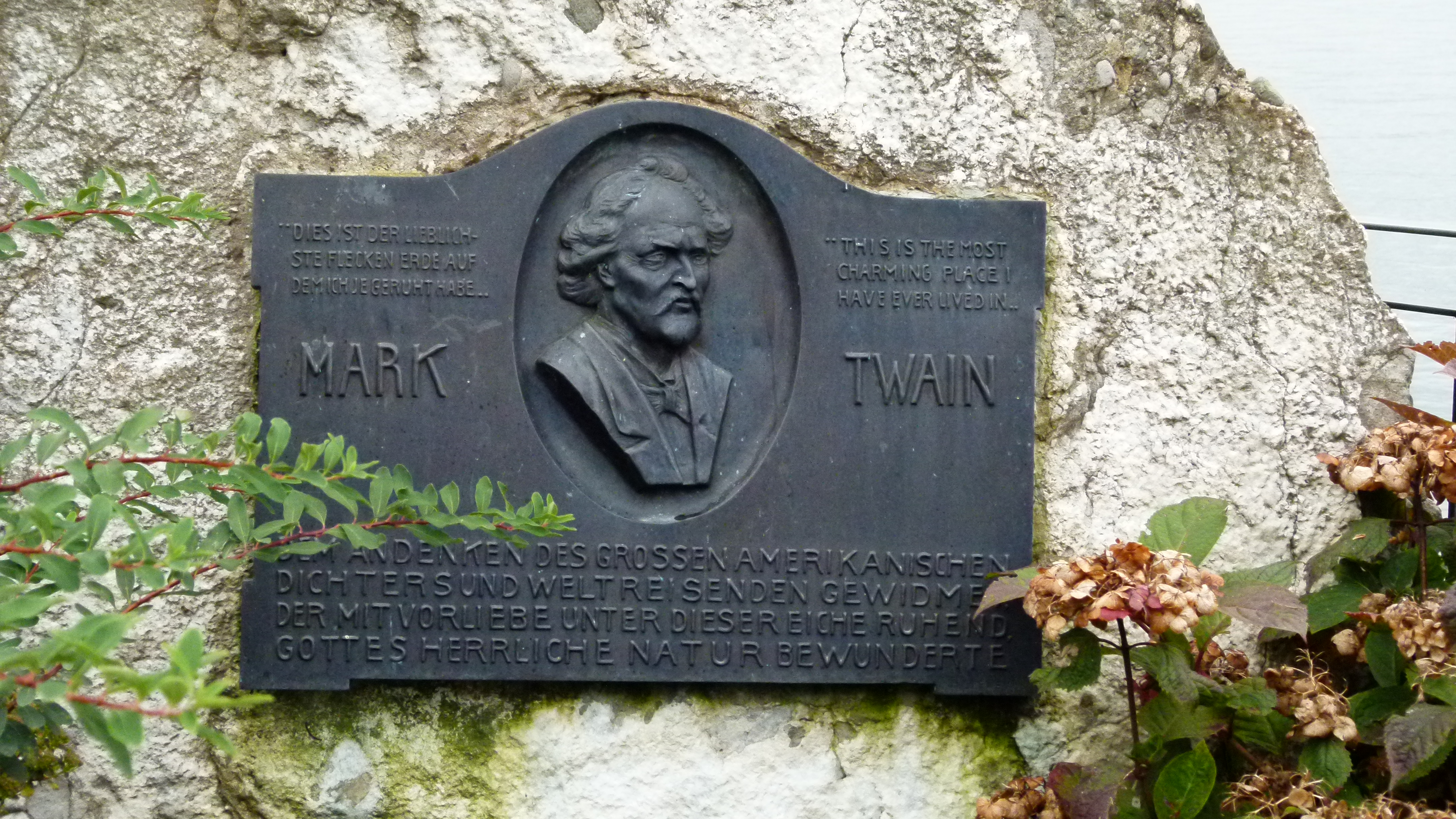
Weggis is very proud that Mark Twain called their village “the most charming place I have ever lived in.” They erected a memorial stone ; Mark Twain was said to have admired the view of the lake and the mountains from here. We started our hiking tour to the Rigi at Mark Twain’s memorial stone.

.
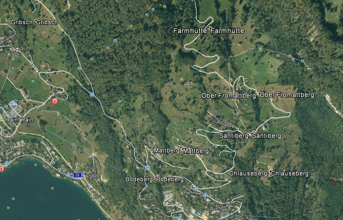
To Säntimatt and Fromattberg
“The ascent is made by rail, or horseback, or on foot, as one may prefer” (Mark Twain, ch XXVIII). The two of us start our ascent on foot at around 9:30 – in the grey autumn fog. “We were soon tramping leisurely up the leafy mule path… I suppose we must have stopped oftener to stretch out on the grass in the shade… we met a hot red faced man plunging down the mountain… he stopped… and asked how far it was to Weggis. I said three hours… “well”, said he, “I can’t stand another three hours…”. The red faced man was an Englishman. Mark Twain and the Englishman ended up in the nearby inn to have a nice dinner and spend the night there. When the Englishman left in the next morning, the landlady told him that her inn was about 500m above the lake level. Hearing this, the Englishman got very angry, and Mark Twain could not understand why.
500m above sea level is somehwere between Säntiberg and Fromattberg. But the inn does no longer exist and the “Mark Twain path” only points to it 200m above the location of the inn. Anyway our clock is approaching eleven a.m. now – and there is no need to stay overnight here. The grey fog had not invited us to stop so far.

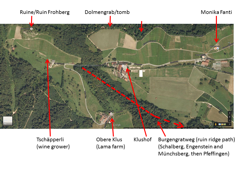
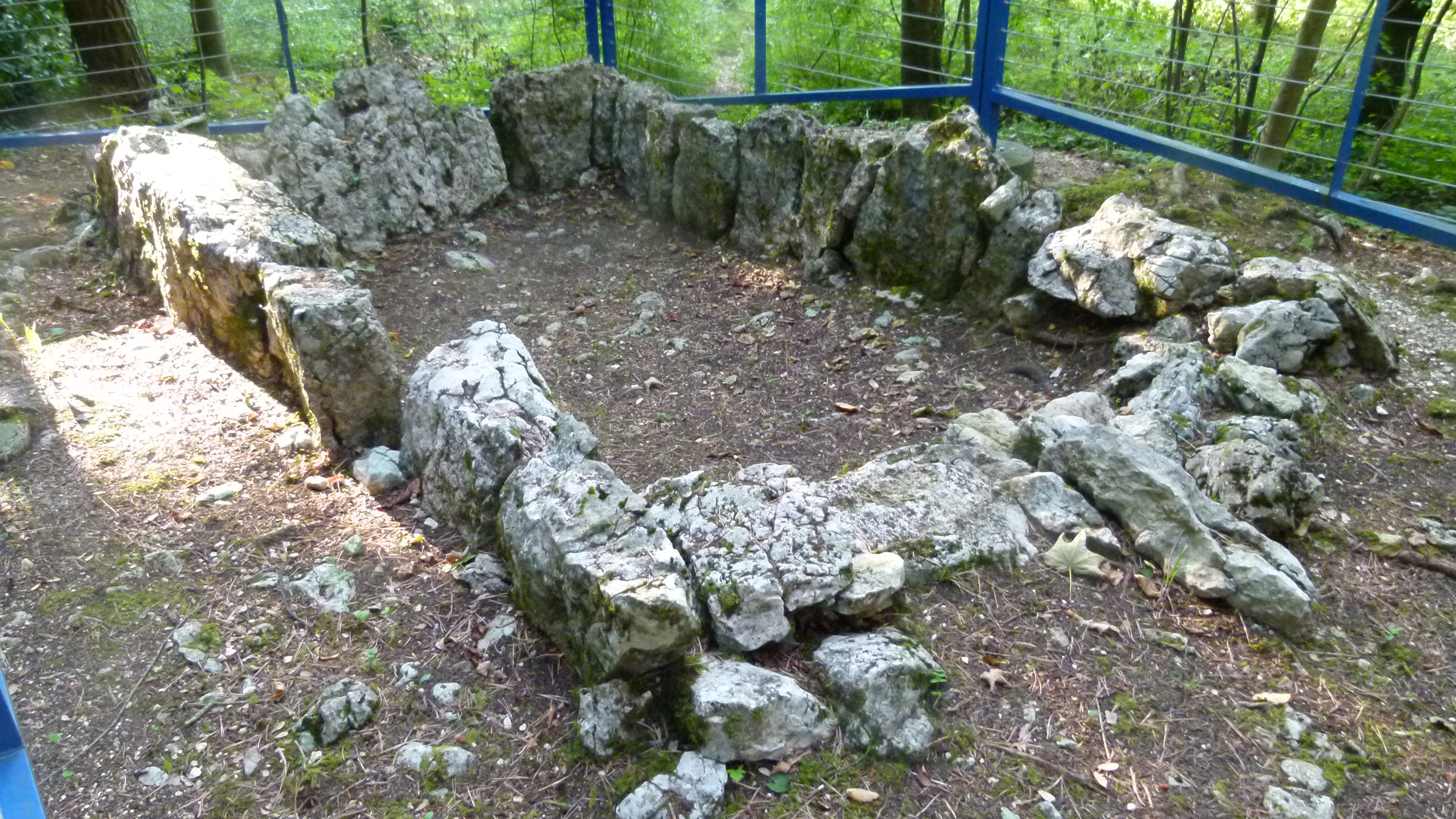
Source: Google Earth
Mark Twain and his companion continued their hike the next day around noon. They walked about 200 yards and then “in the distance detected a long worm of black smoke crawling lazily up the steep mountain. Of course that was the locomotive. We propped ourselves on elbows at once, to gaze, for we had never seen a mountain railway yet” (ch XXVII). We could not figure out, where below the Felsentor they could see the railway to Vitznau. My friend mumbled: “Do you think that Mark Twain took notes while walking? How do you write a travel report?” Well, I continue to wonder, because I thought that Mark Twain is pretty precise with his facts though he ornates them with humor.
.
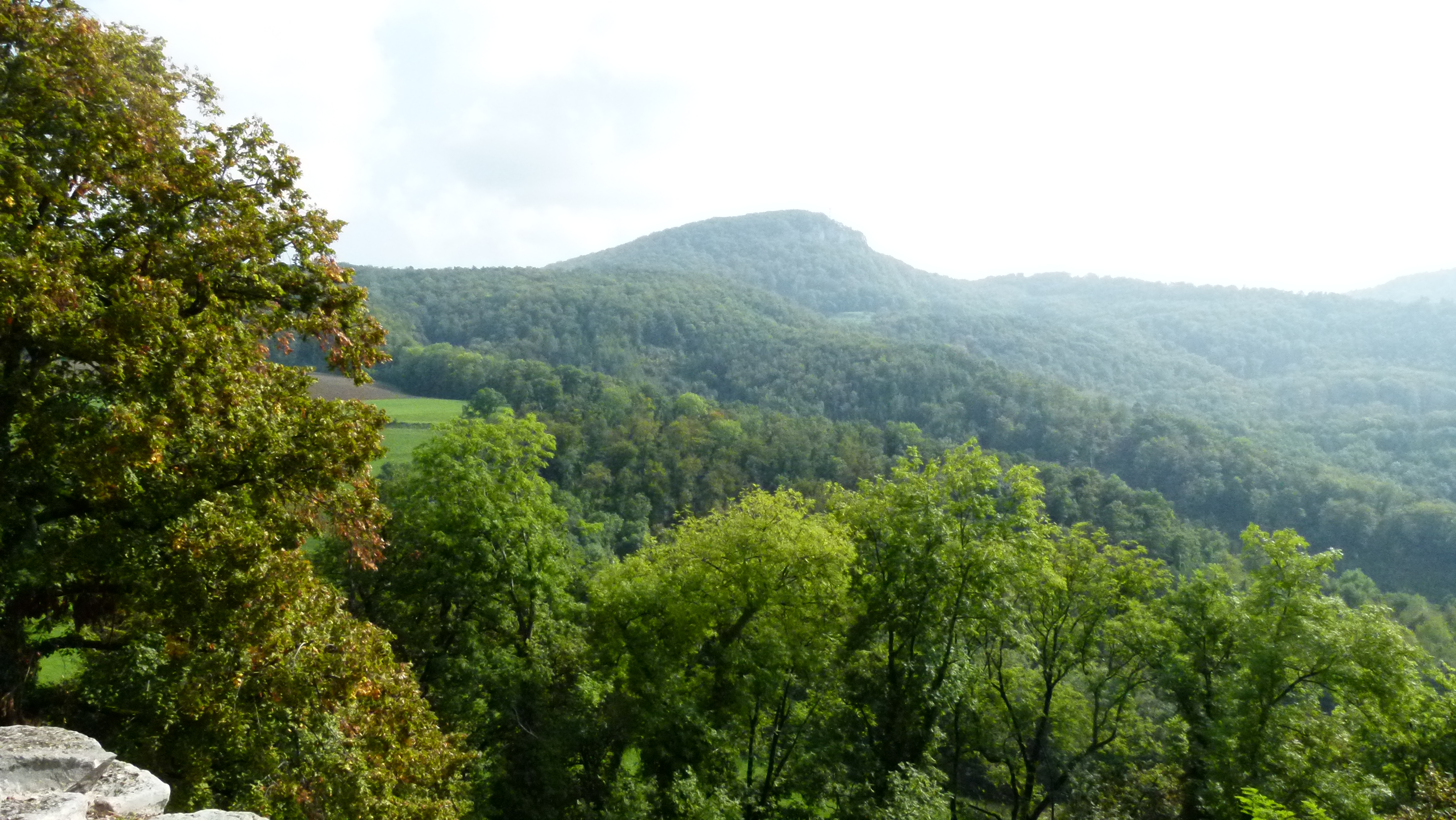
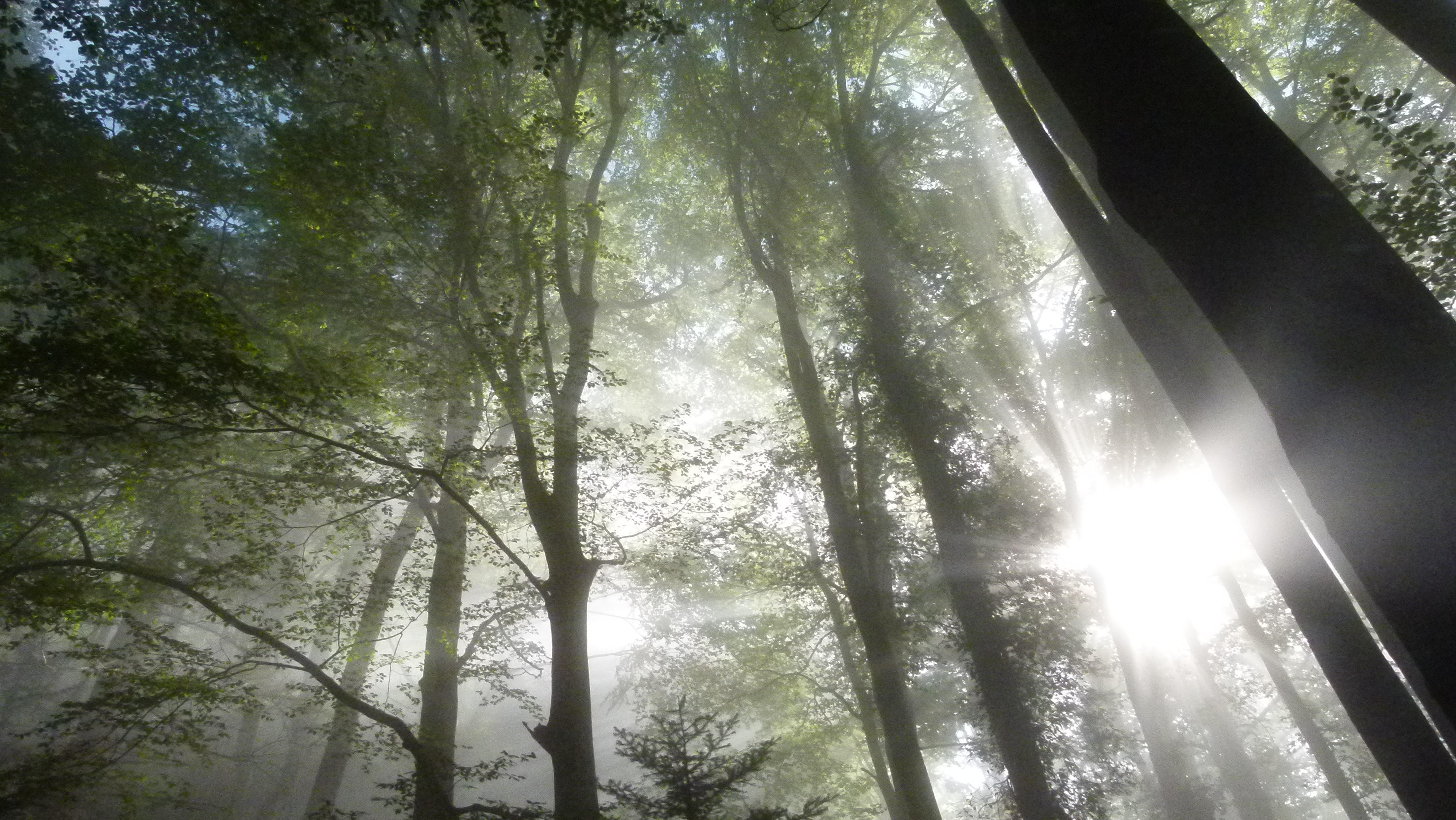
The fog clears up – a great moment that I enjoy even more intensely, because I have got my eye sight back
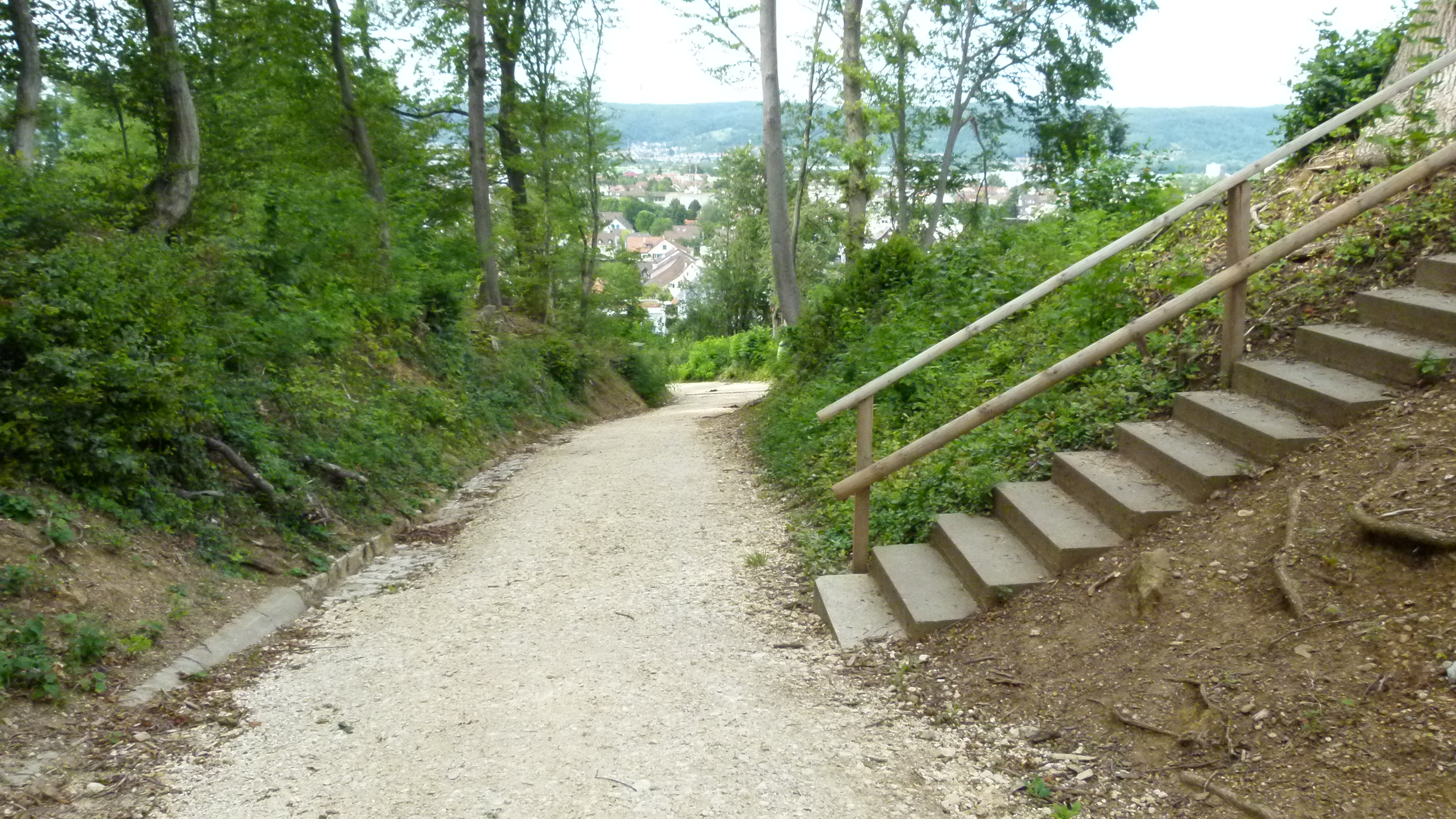
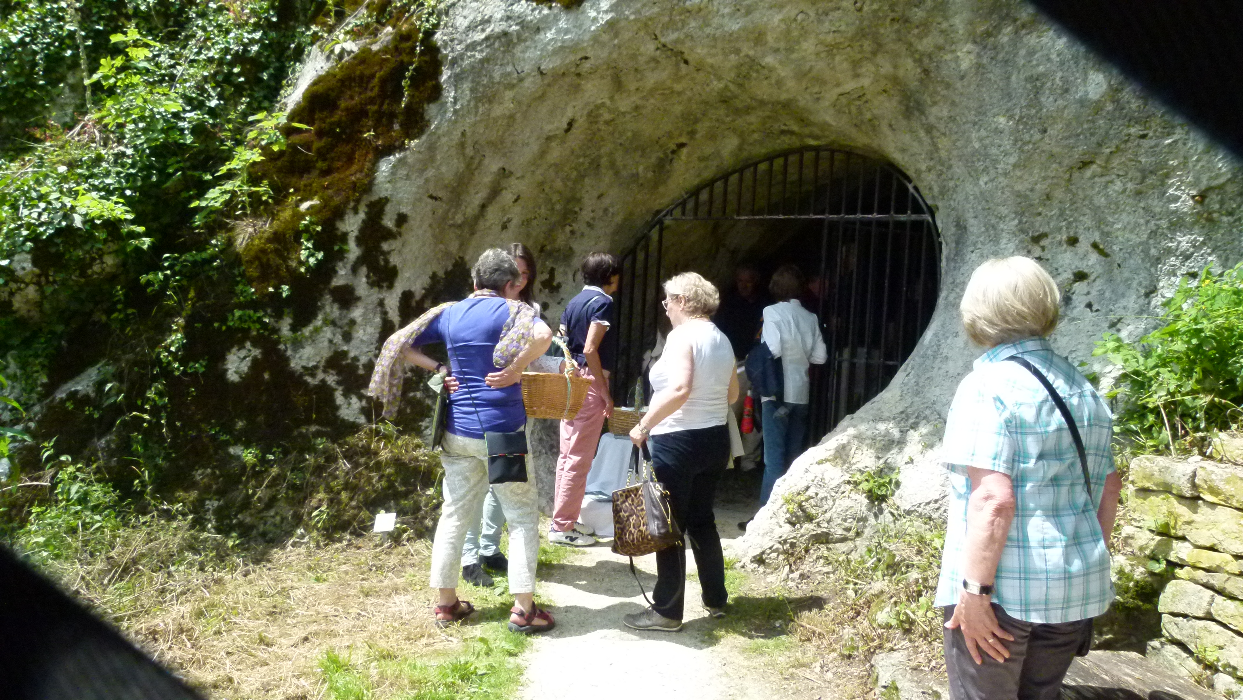
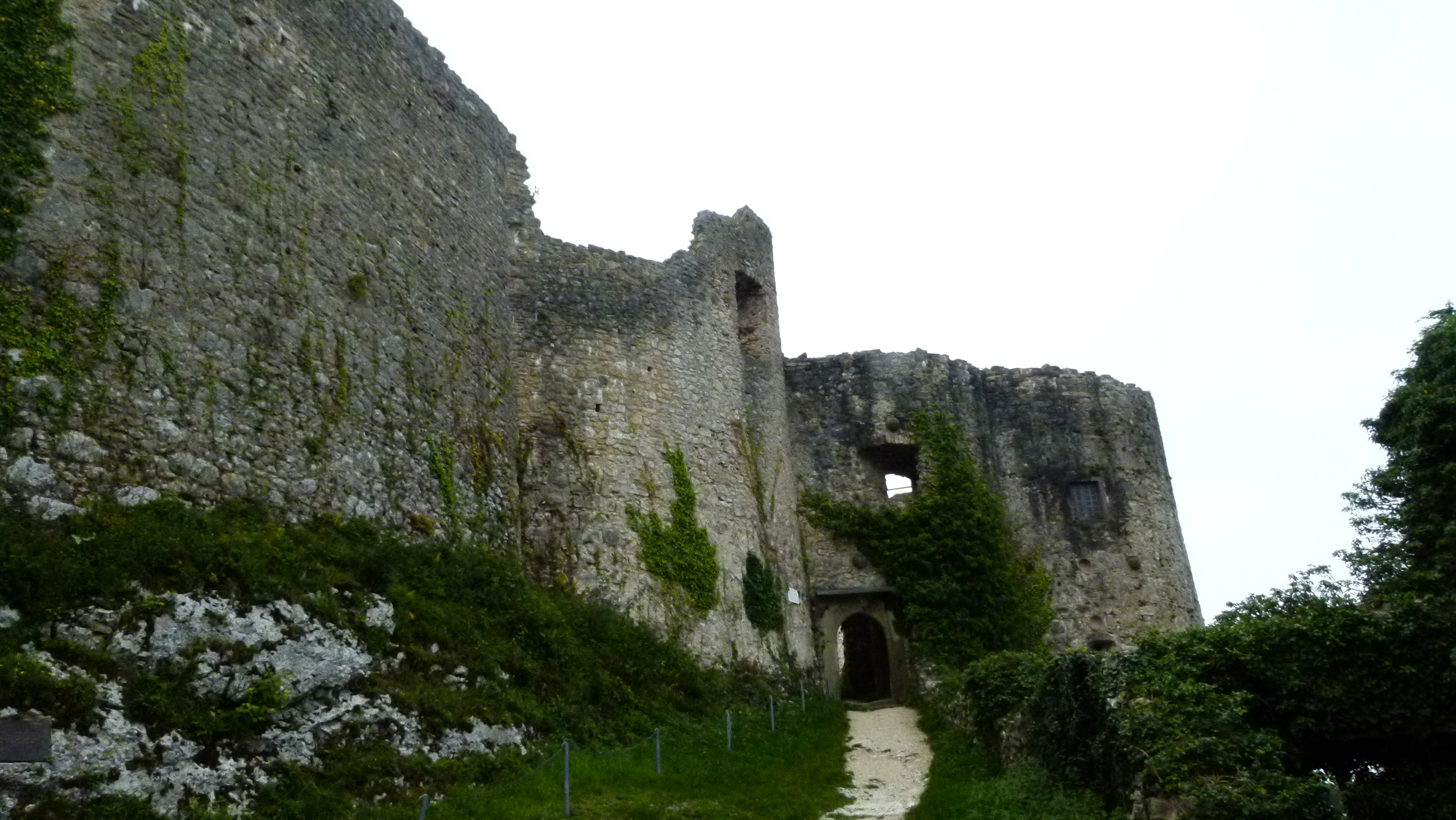
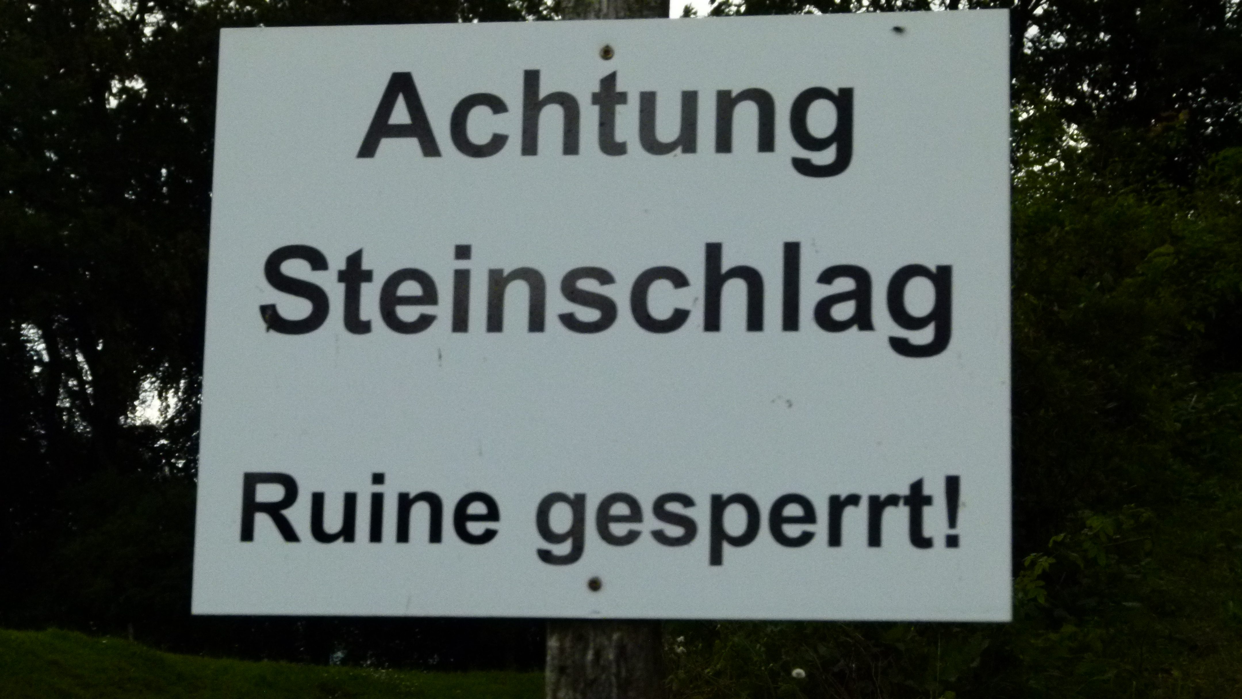
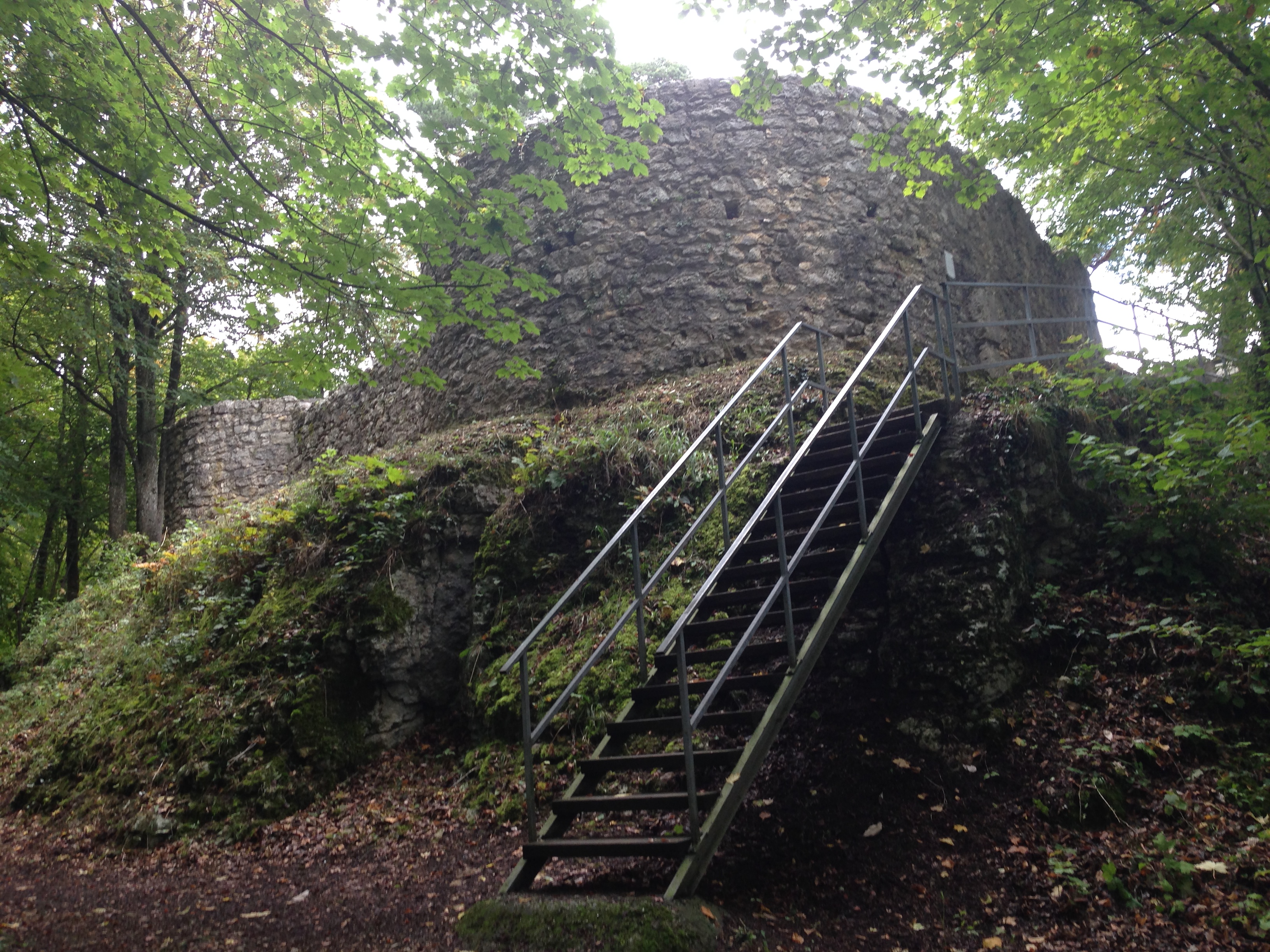
The chapel Heiligkreuz is closed. Just above the chapel, sun rays are cutting into the forest…

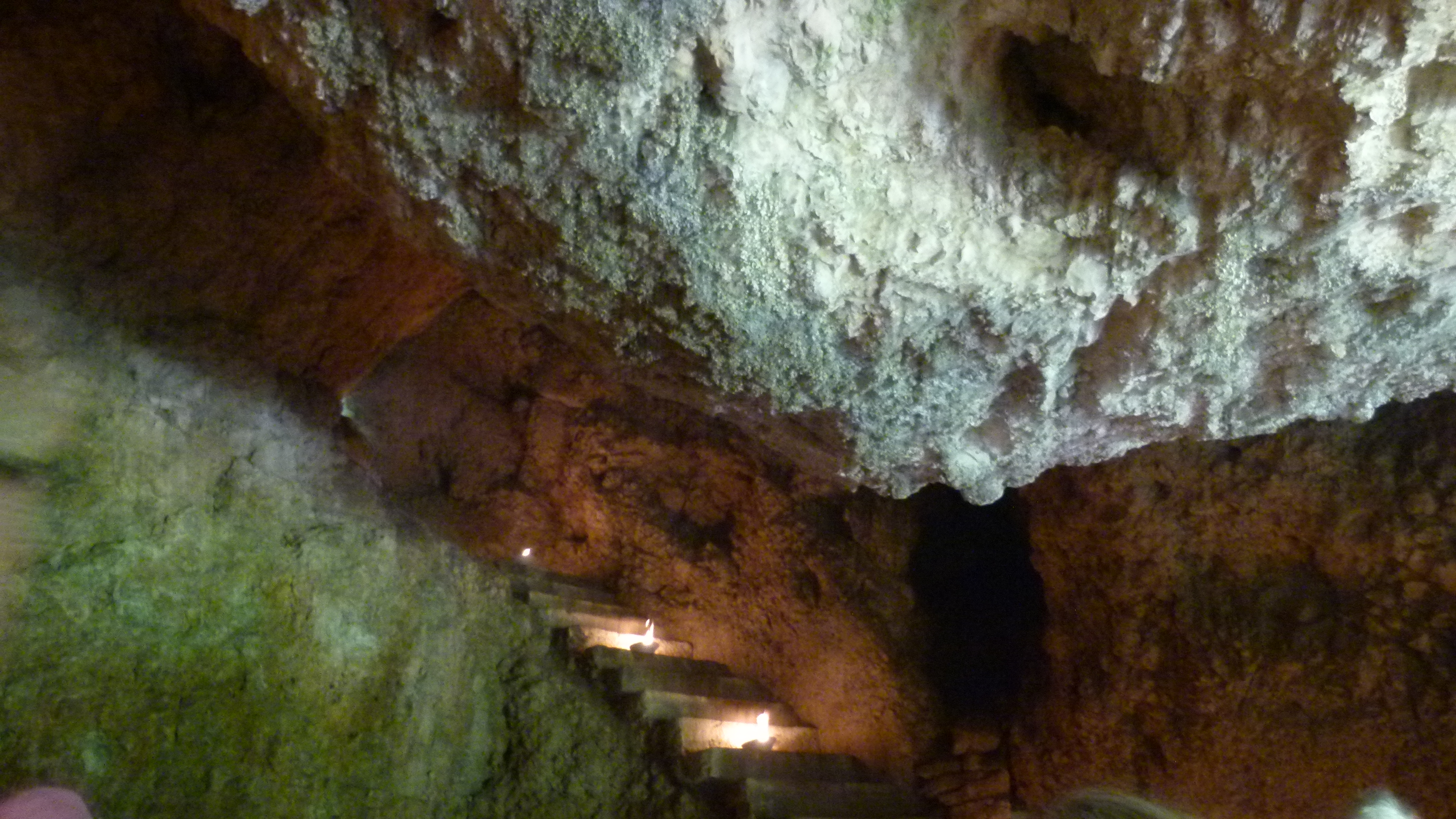
… while we are climbing the stairs along the rock that some prisoner-engineers had carved in the 19th century…

… and above the steps, there is a meadow. Was it here that Mark Twain encountered yodelling? He wrote: “…all at once our ears were startled with a melodious “Lul…i…i…lul-lul-lahee-o-o-o!” peeling joyously from a near but invisible source… now the jodler appeared – a shepherd boy of sixteen…” . They gave the jodler a franc to continue yodeling. More shepherd boys came and yodled earning half a franc, eight cents, six cents, a penny, then nothing, and eventually, Mark Twain gave a franc to stop the yodeling.

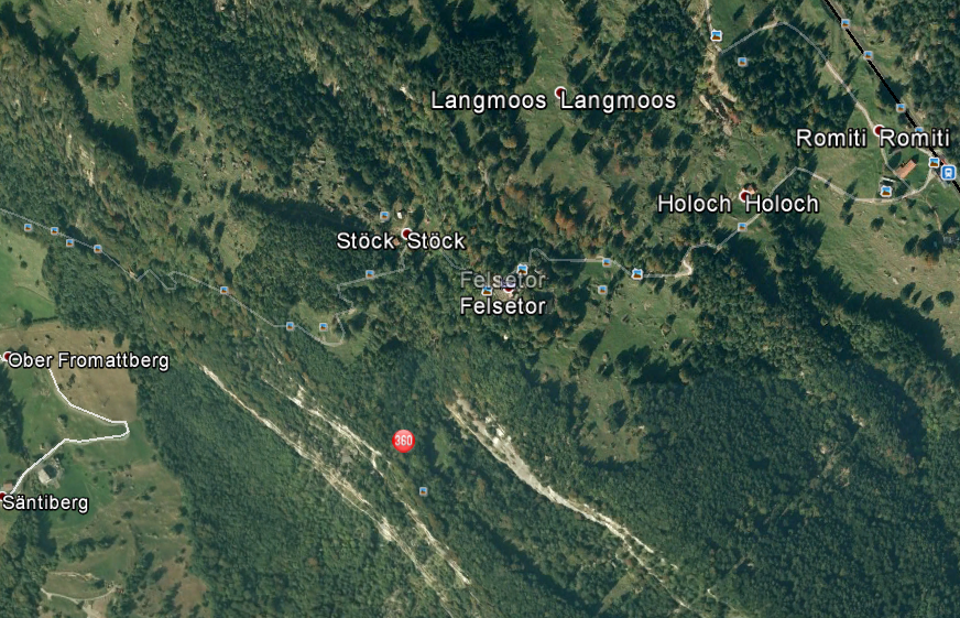
Source: Google Earth
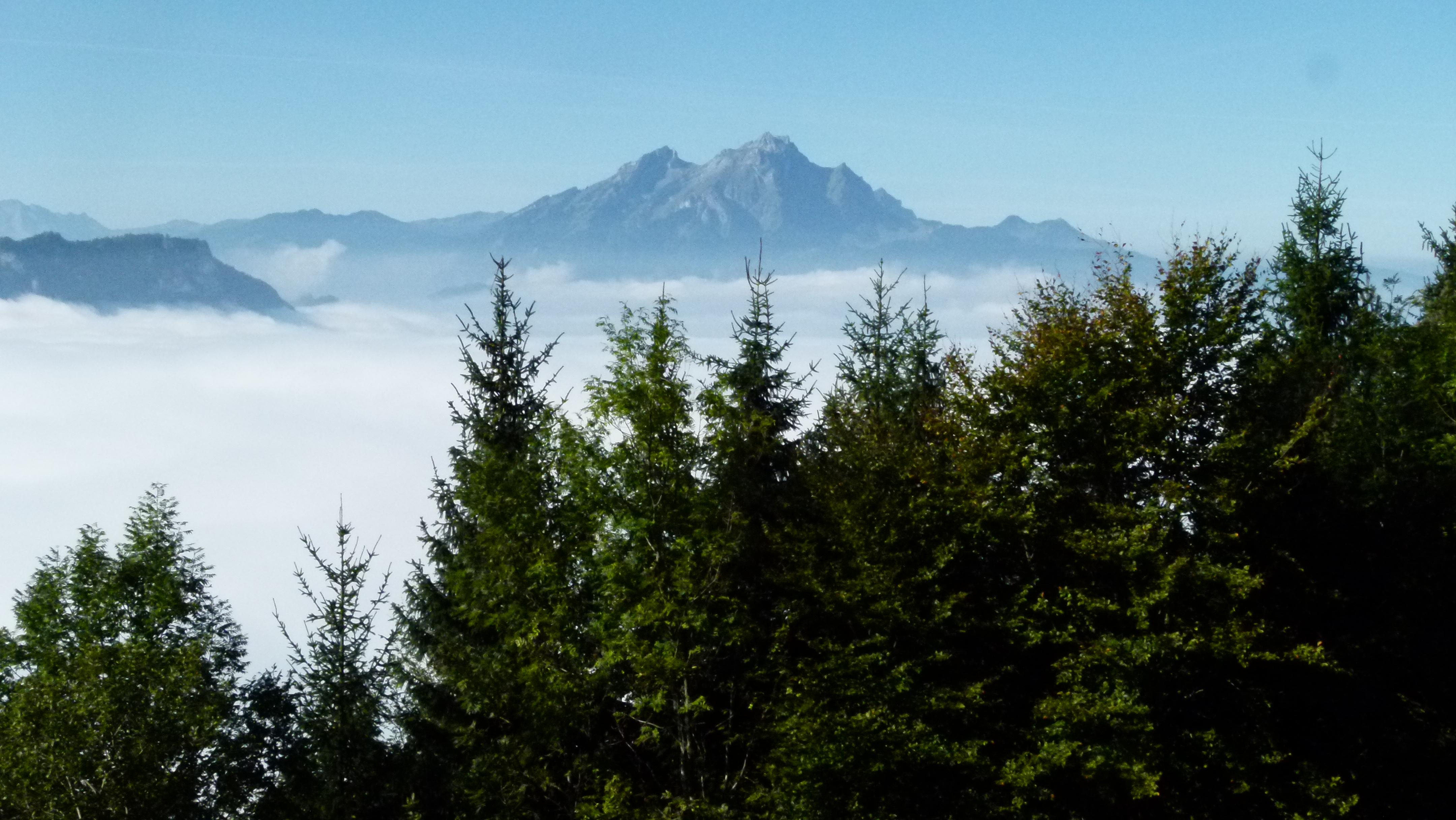
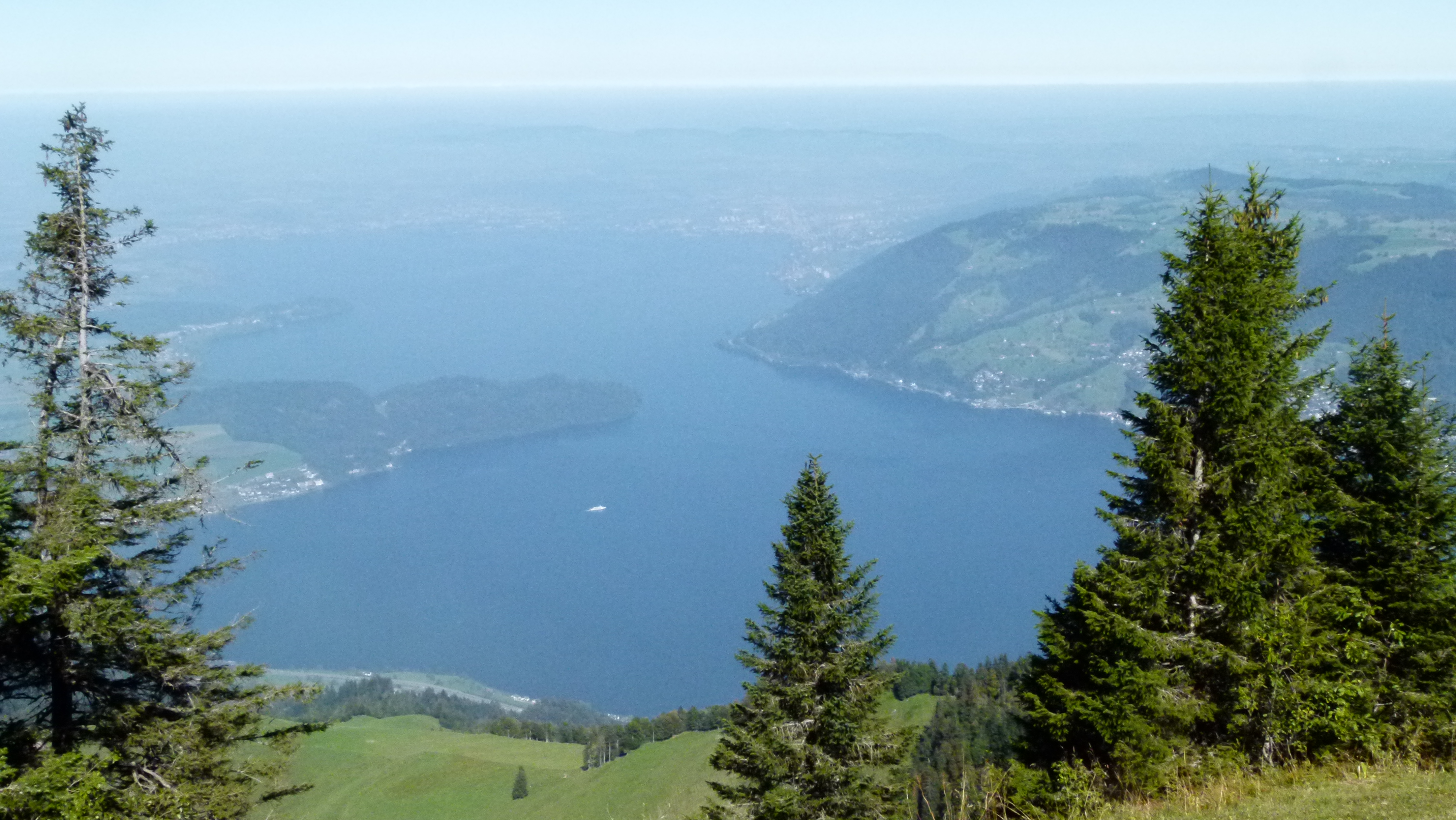
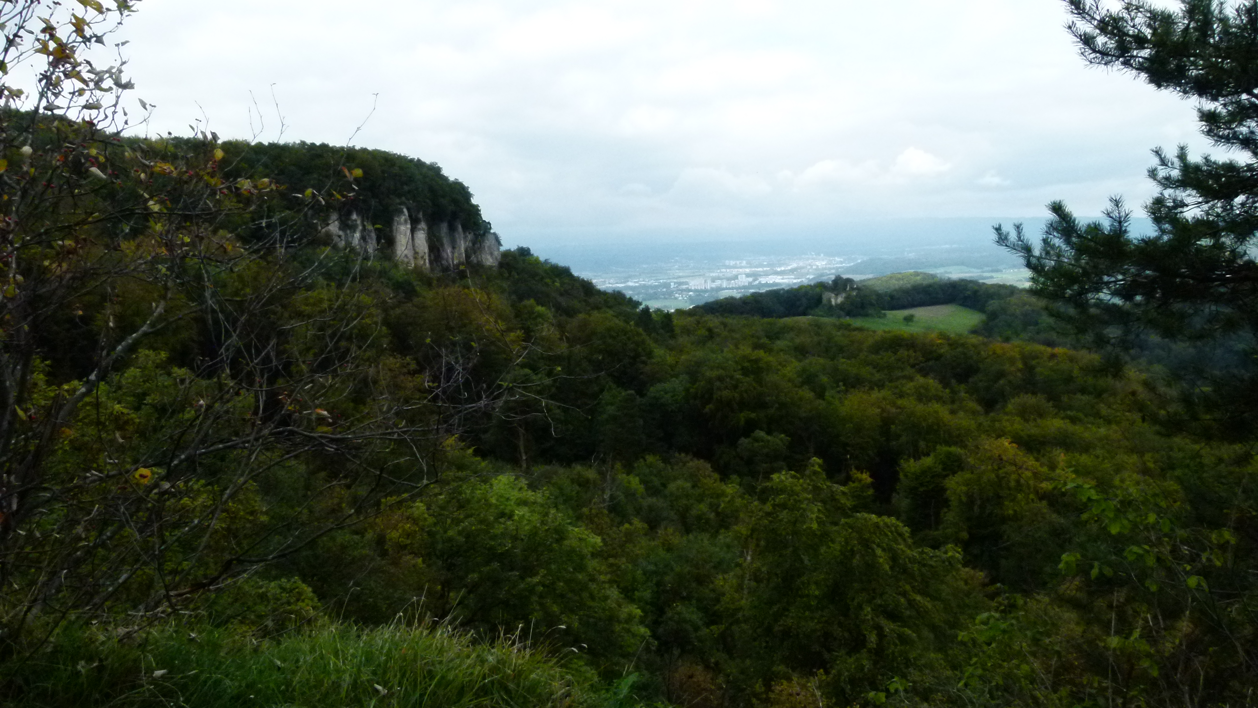
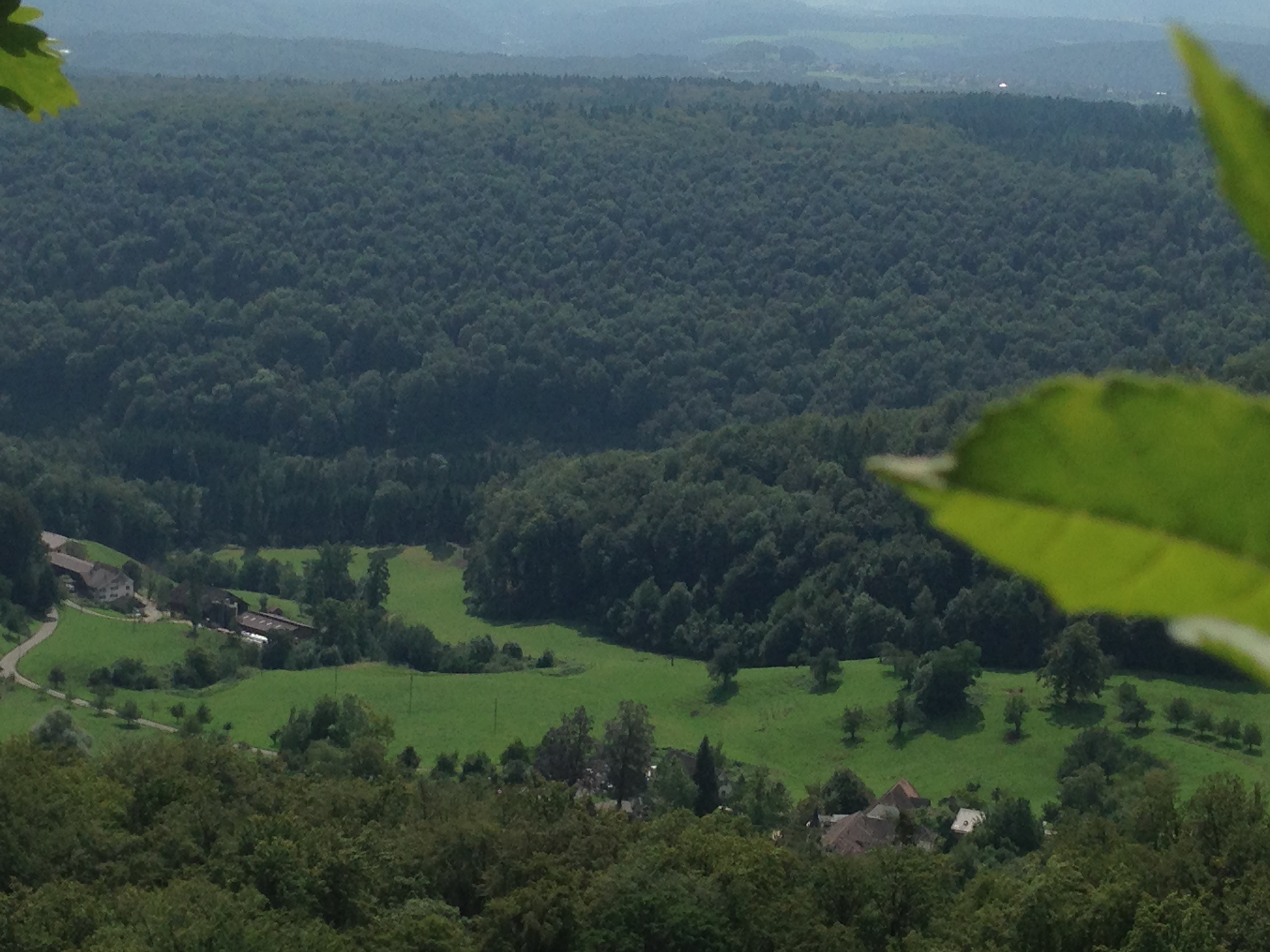
On the meadow above the steps we are at about 1000m and now above the fog. We enjoy the panorama… here is a picture with Pilatus and the Bürgenstock.

.
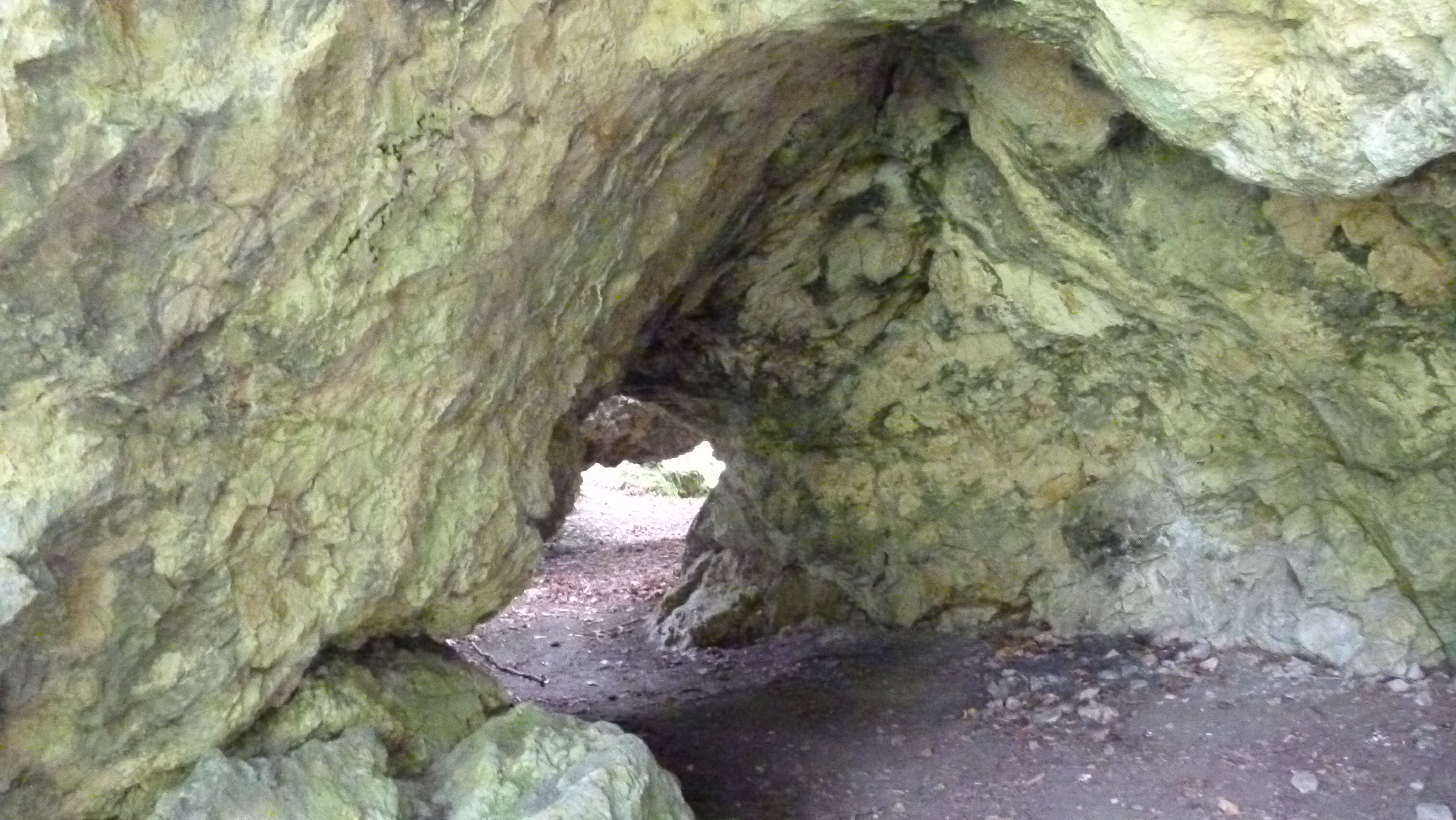
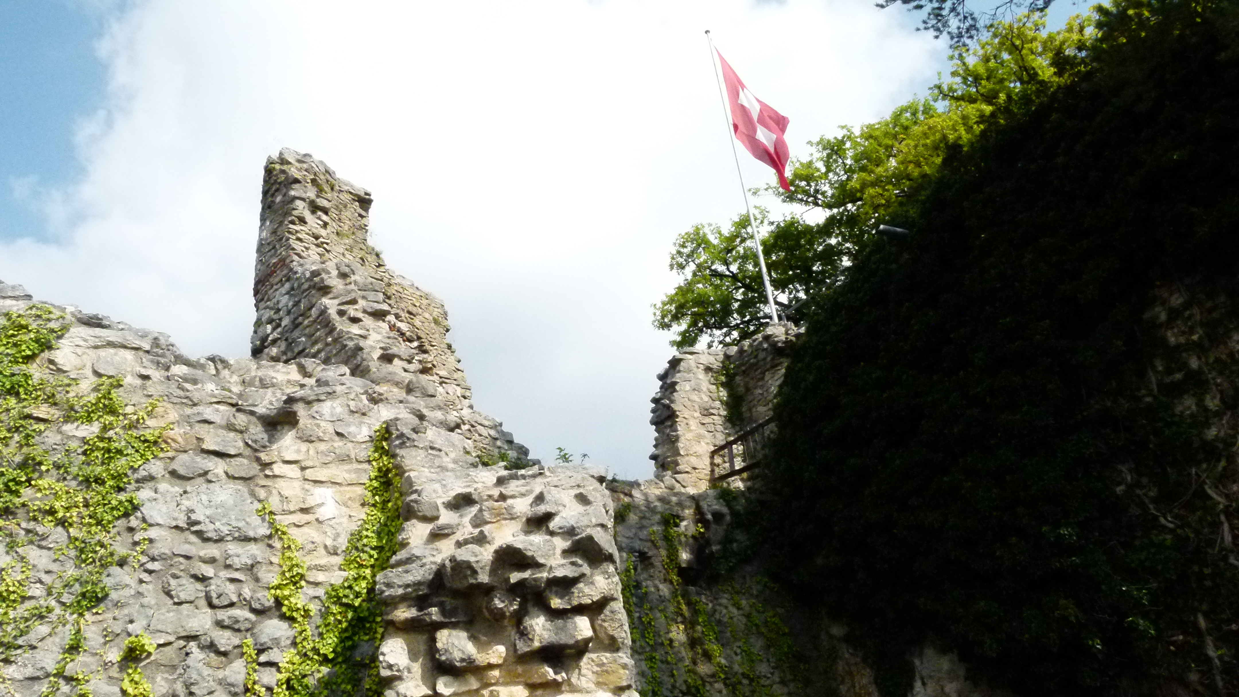
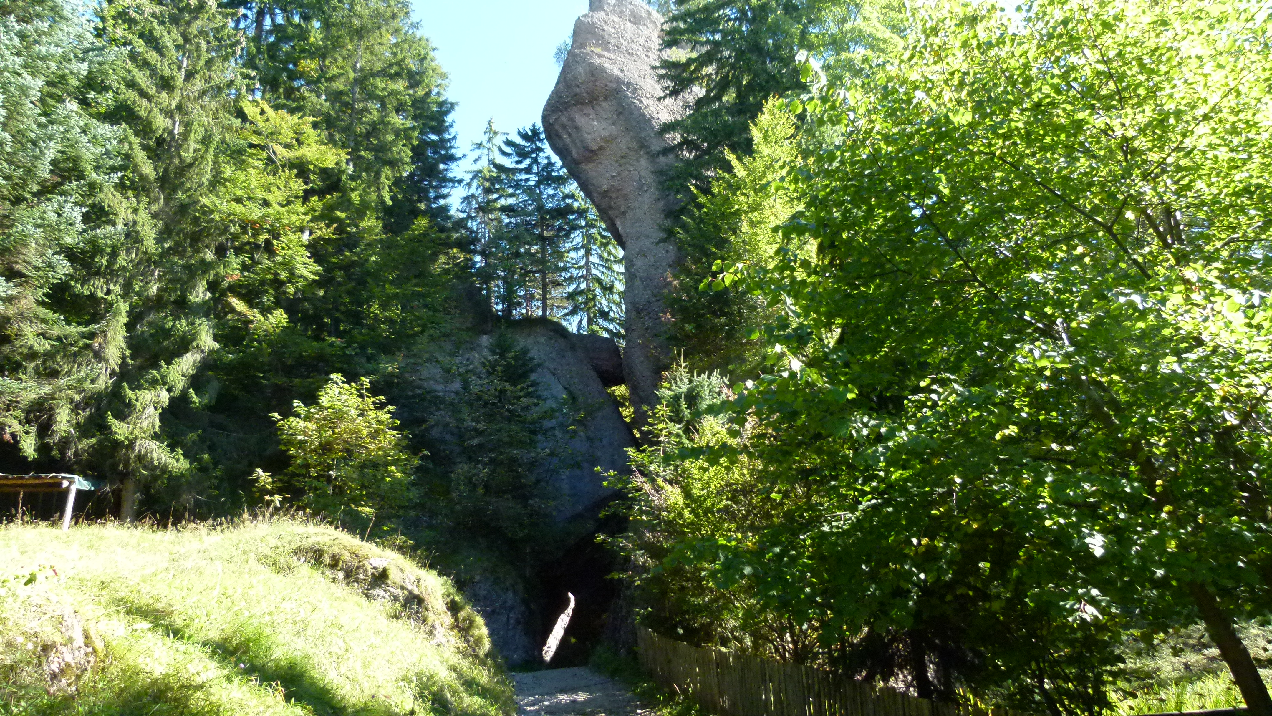
The Felsentor
After the yodeling experience, Mark Twain reaches the Felsentor at about 1100m: “… we passed through a prodigious natural gateway called the Felsenthor, formed by two enormous upright rocks with a third lying across the top…

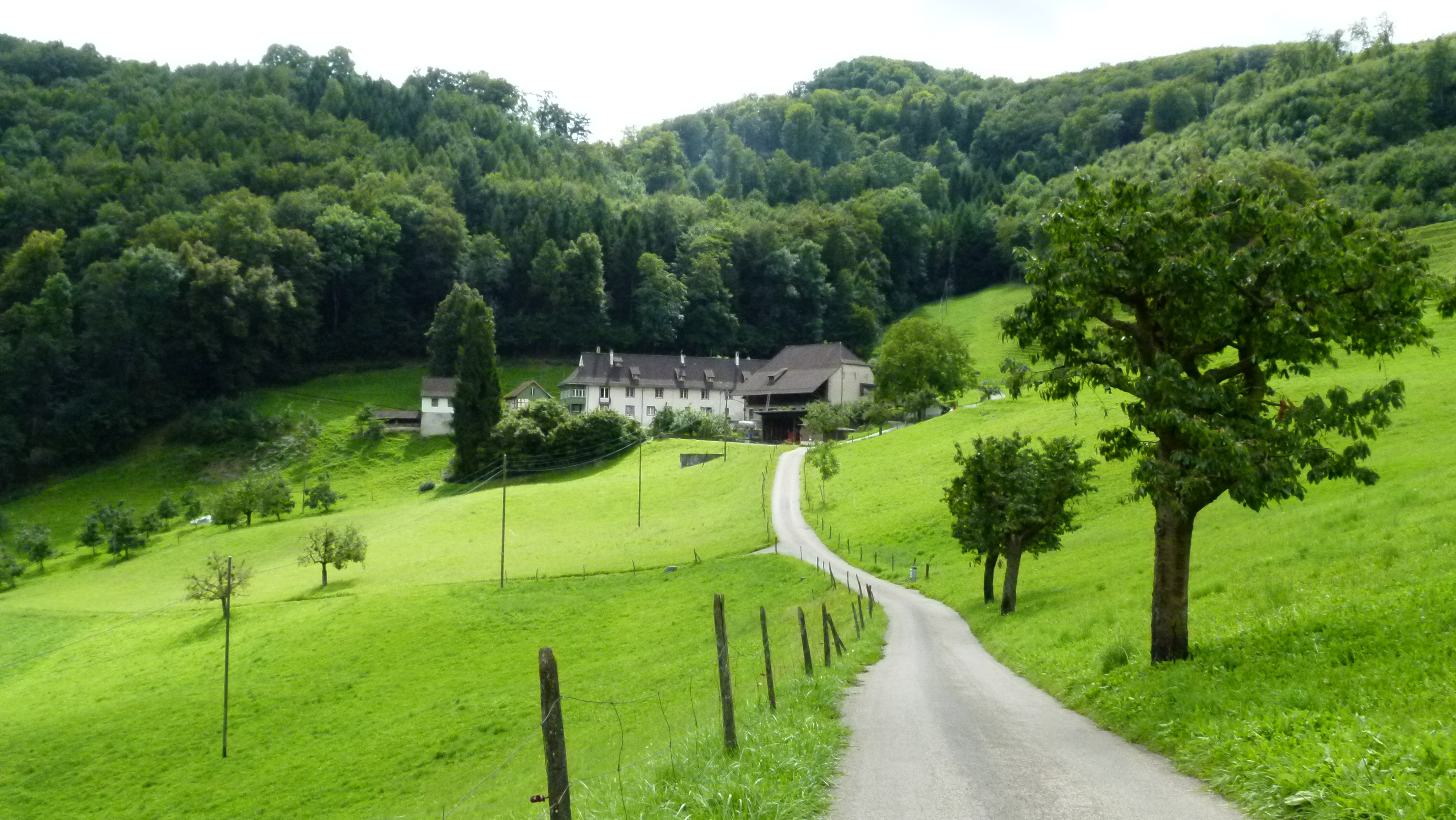
… There was a very attractive hotel close by, but our energies were not conquered yet, so we went on”, said Mark Twain.

Also my friend and I go on… resisting to stop and have a beer at this inviting place with its wonderful view. We soon reach Romiti and take a picture of the train coming down from Kaltbad.

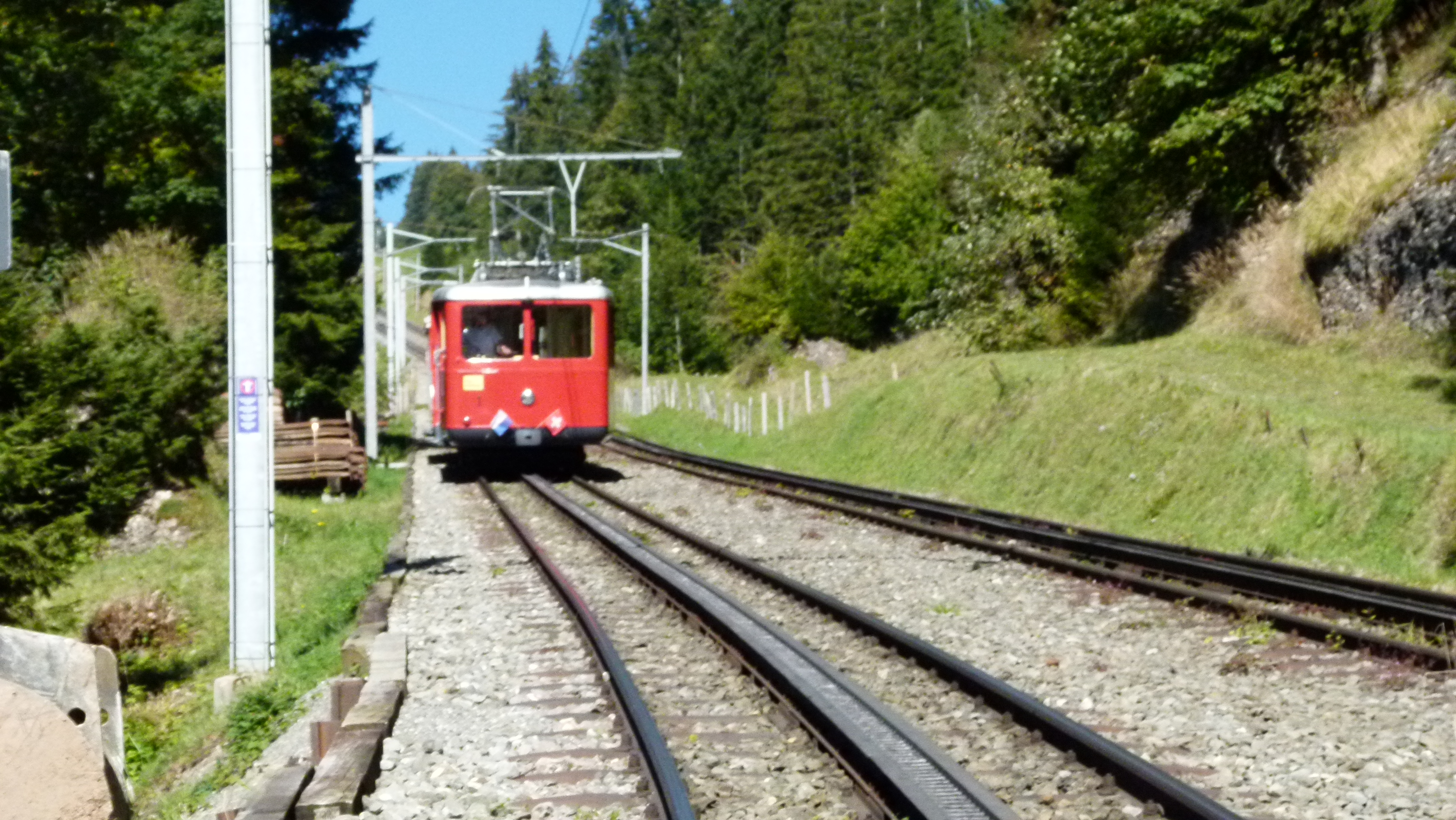
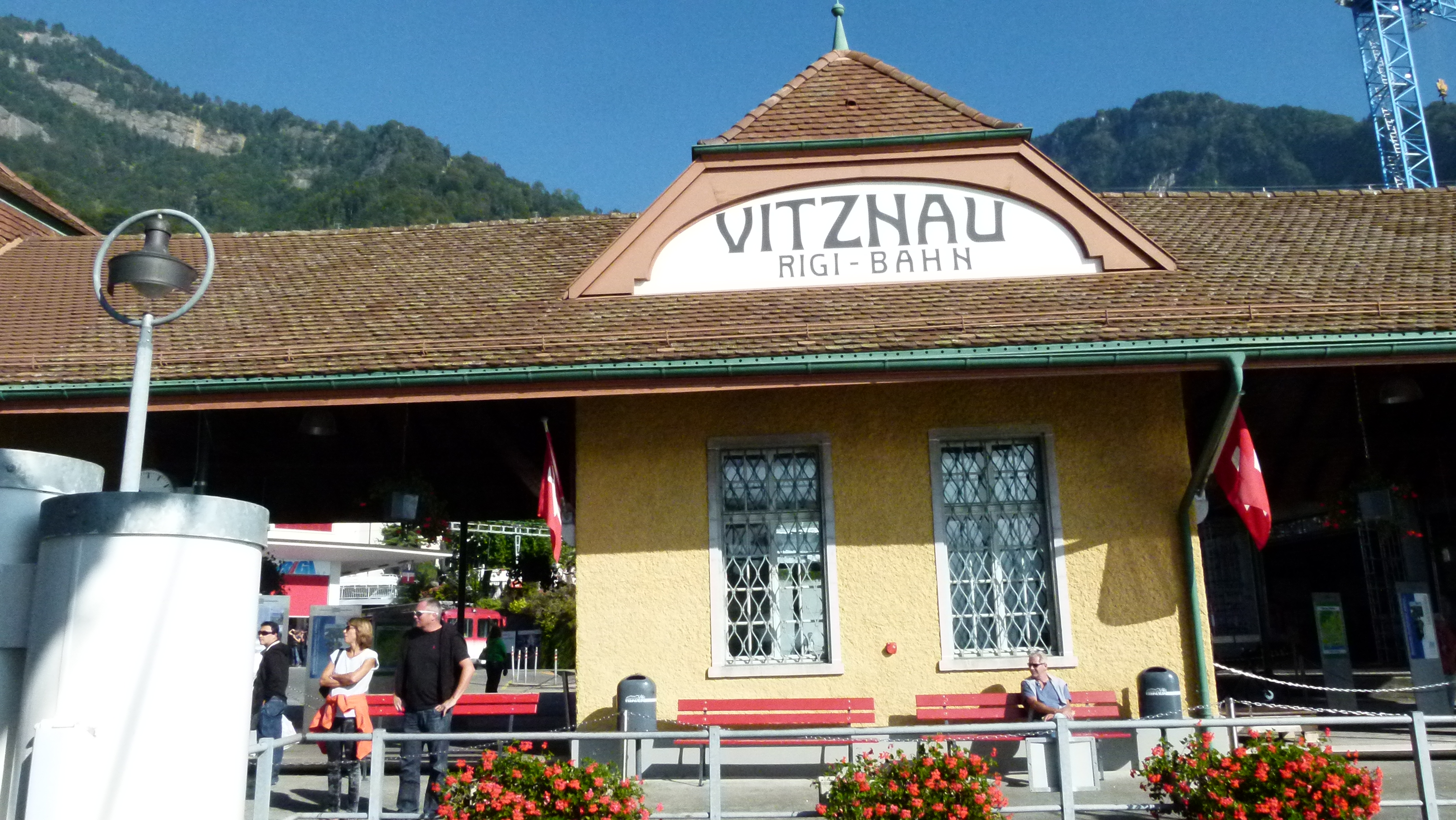
This train route has been designed by Riggenbach around 1870. Lucerne accepted the design. The railway opened in 1871; it only went from Vitznau to Rigi Staffel about half a walking hour away from the top (Kulm). At Rigi Staffel, the canton of Lucerne ends and the canton of Schwyz begins. When the people from Schwyz heard about the project, they followed by constructing the Arth-Goldau to Rigi Kulm railway and extended the Rig-Vitznau rails to Kulm. They also hired Riggenbach and completed the railway in 1873 (Source: Wikipedia).
In 1897, when Mark Twain climbed the Rigi, the trains were already about 25 years old. They were the first mountain railways in Europe. This is how Mark Twain describes the Rigi railway: “There are three railway tracks; the central one is cogged; the “lantern wheel” of the engine grips its way along these cogs and pulls the train up the hill or retards its motion on the down trip… whether going up or down, the locomotive is always at the lower end of the train.”
Along the rails we walked up a steep path to Rigi Kaltbach which is at 1450m above sea level.
.
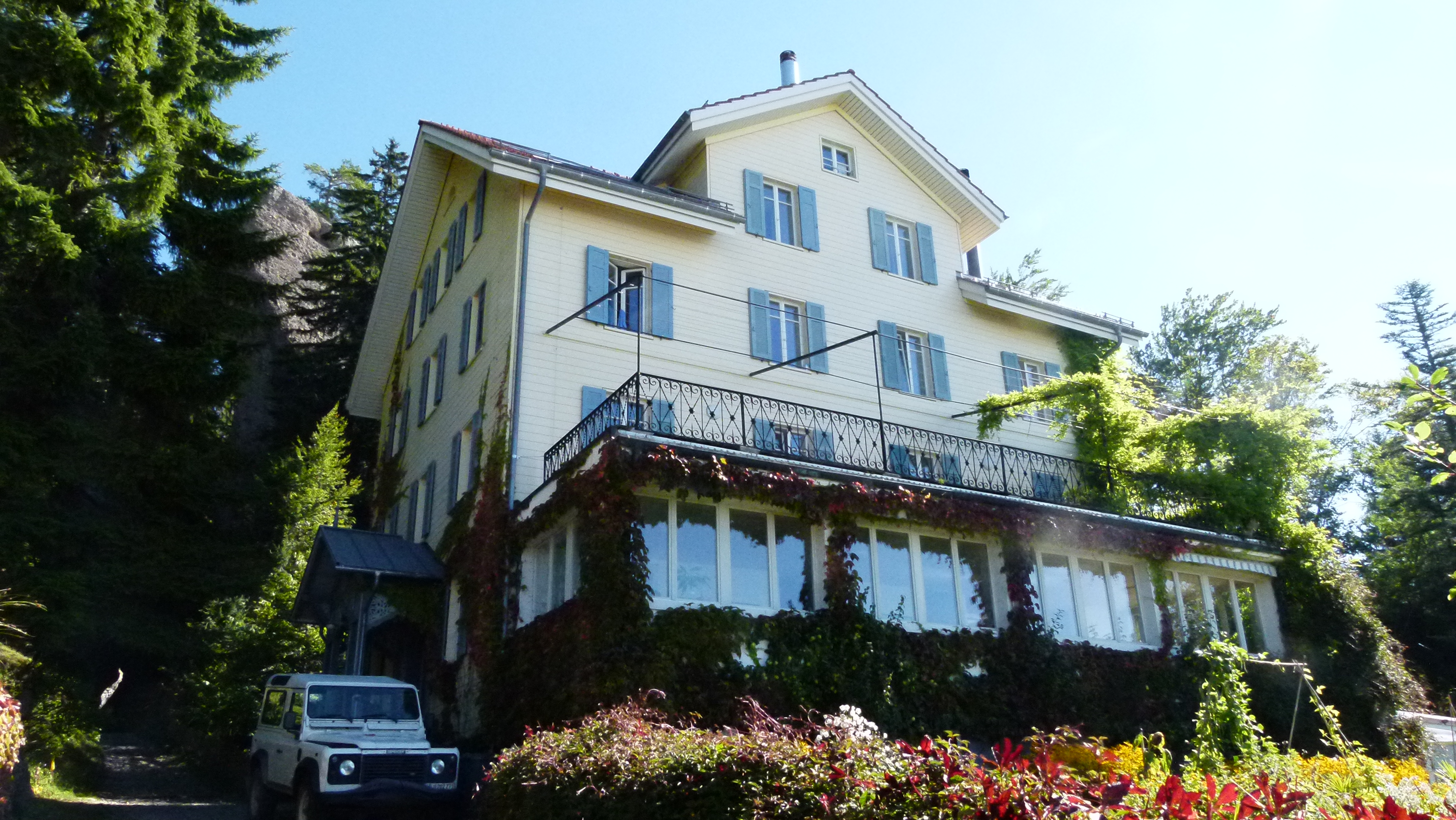
Rigi Kaltbad – many tourists in a “touristy” place
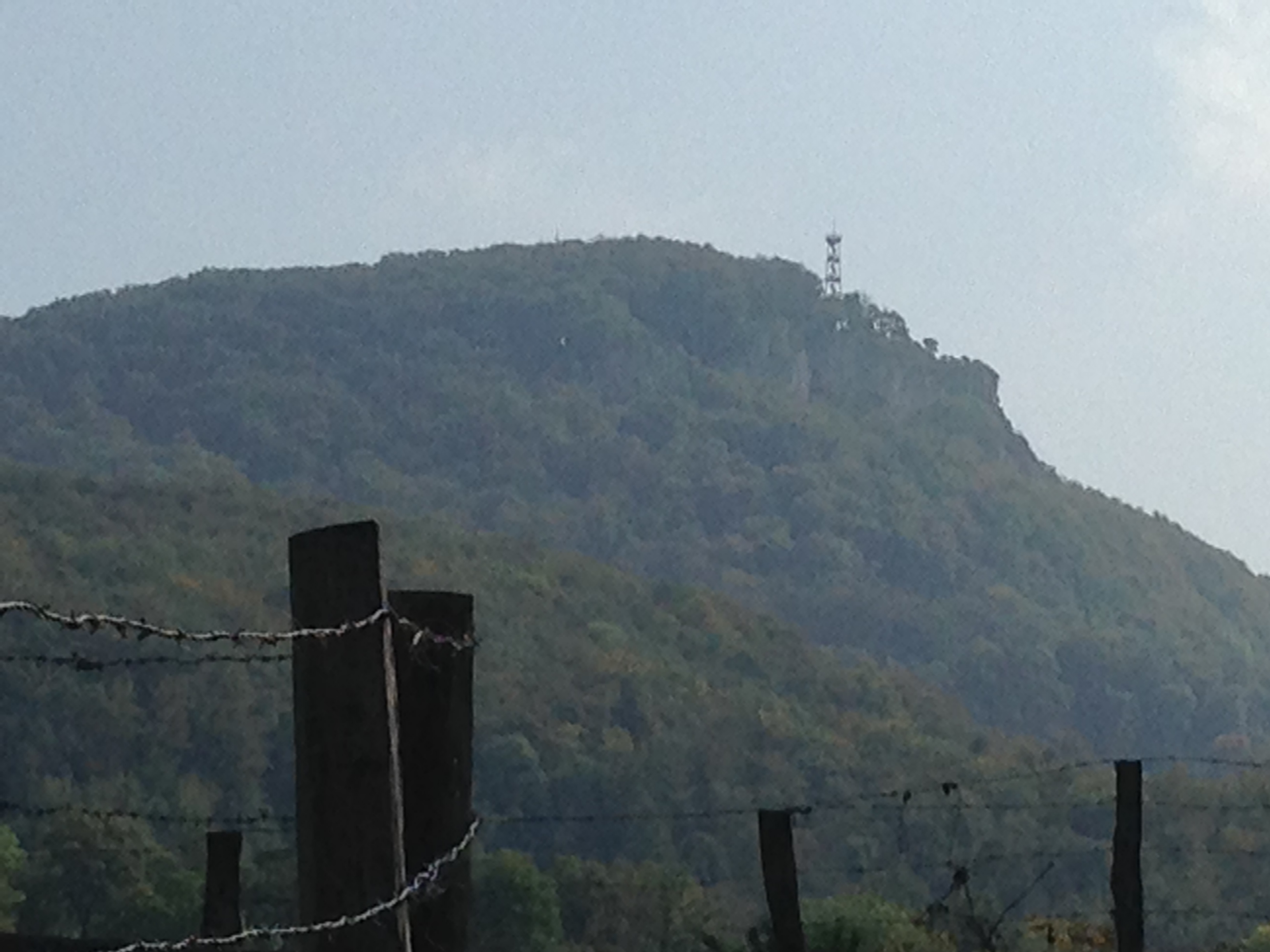
Mark Twain and his companion Harry stopped at Rigi Kaltbad to stay overnight again. After all it was already six pm, as Mark Twain explains: “At ten minutes past six we reached the Kaltbad station, where there is a spacious hotel with great verandahs…”. They miss the sunrise, as they get up too late (they keep on missing the sunrise…) and they are happy to be “…informed by the guide-book that we were now 3228 feet above the level of the lake – therefore full two thirds of our journey had been accomplished.”
The two of us do not stay at Rigi Kaltbad. To me it is a messy and touristy experience – big flat roof houses with terraces facing towards the Lake of Lucerne and the mountains. We continue to follow the route that Mark Twain had taken – to Rigi First and then- along the rails coming up from Goldau heading to Rigi Staffel.
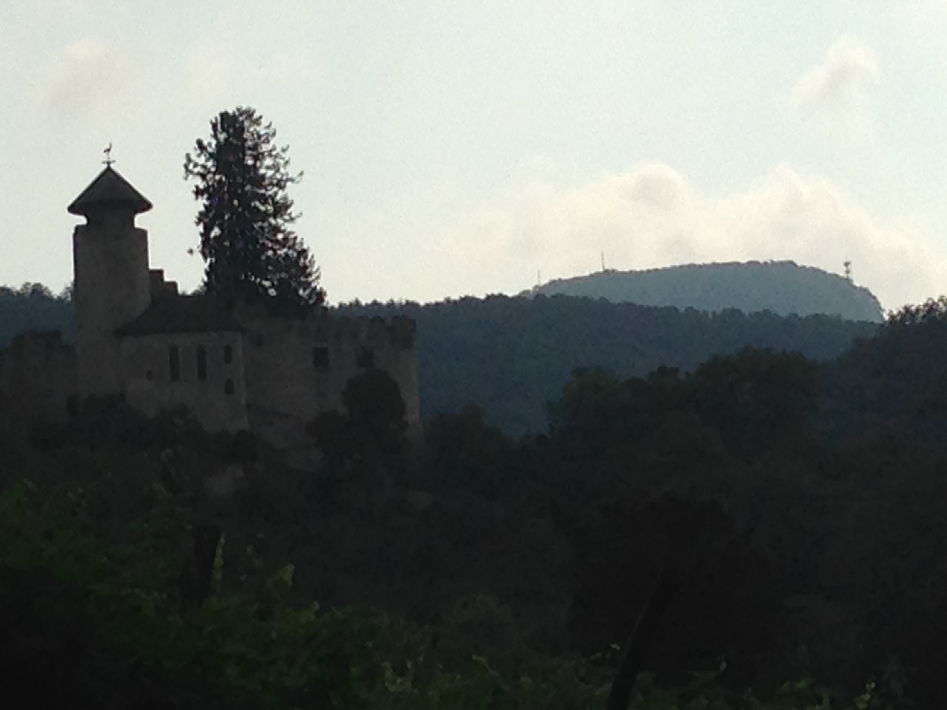
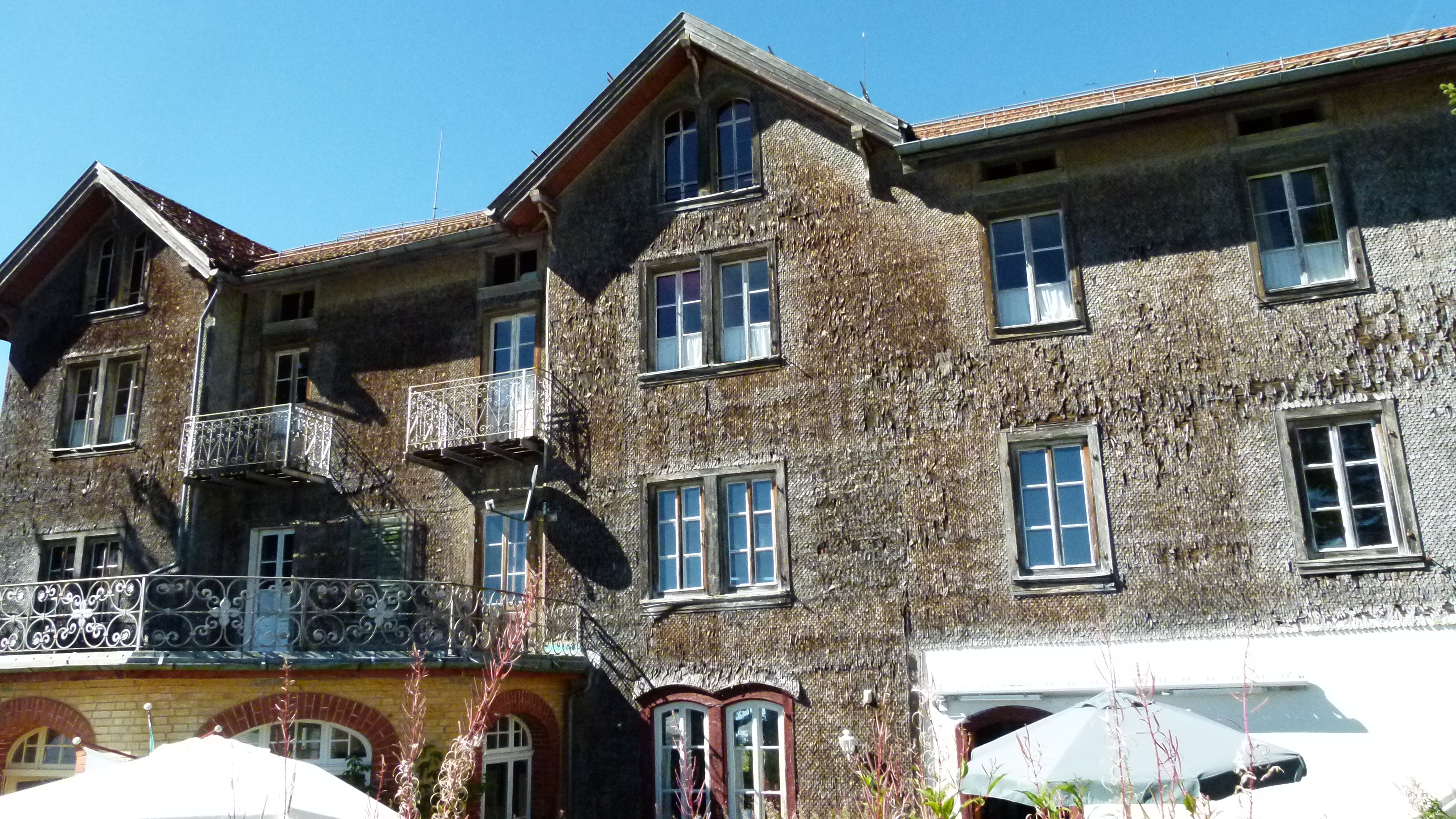
On Rigi Staffel, there is a hotel that might need some refurbishing.

The path between the ridge and the rails offers a great view of the Lake of Zug. This is where Mark Twain and his friend had been caught by rain and fog: “It came on to rain, and it rained in dead earnest… Next a smoky fog of clouds covered the whole region densely, and we took to the railway ties to keep from getting lost…. by and by, when the fog blew aside a little, we were treading the rampart of a precipice, and that our left elbows were projecting over a perfectly boundless and bottomless vacancy, we gasped and jumped back for the ties again.” Well, Mark Twain may have overstated the precipice somewhat.

Mark Twain and his friend were eventually “confronted with a vast body which showed itself vaguely for an instant, and in the next instant was smothered in the fog again.” They sat in the cold night, until an hour later, they discovered that this vast body was the Kulm hotel. They took their room, found their luggage (that had been carried up by a boy), changed to dry cloths and had dinner.
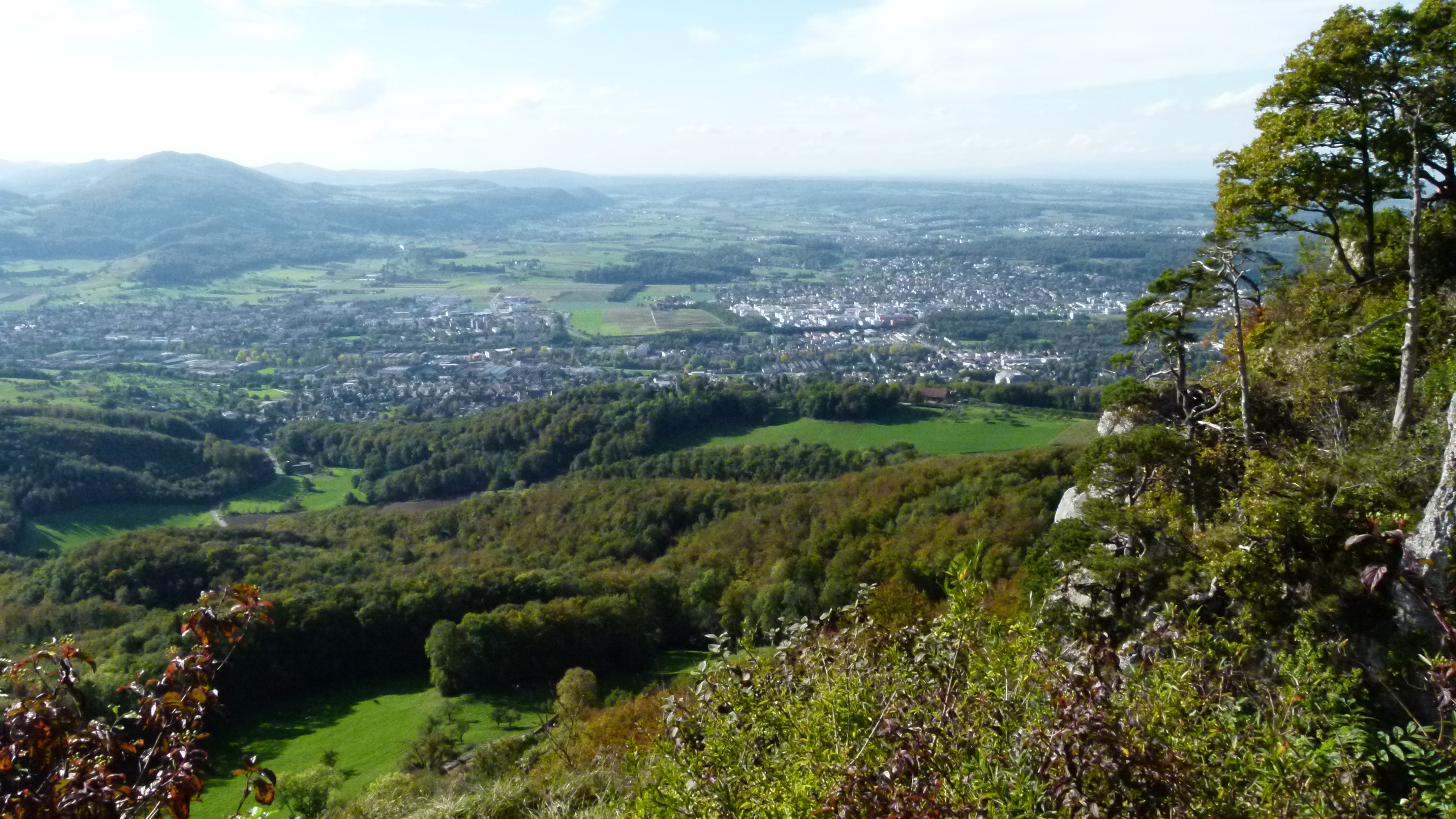
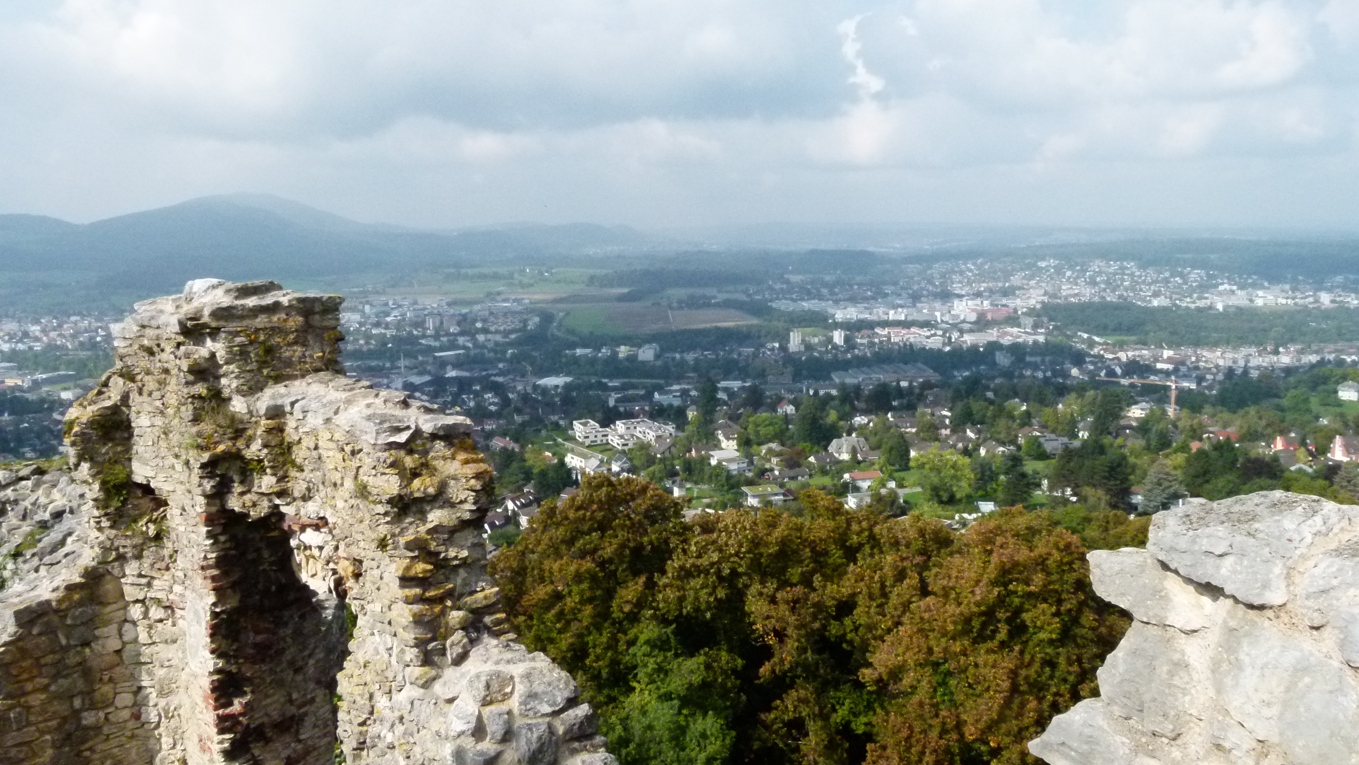
No fog for us today. A wonderful view of the Swiss plateau with the lakes and the jura on one side and the mountains on the other side side. Here in the background closing off the white mountain chain is the wall of the Wetterhorn overlooking the Grosse Scheidegg near Grindelwald.

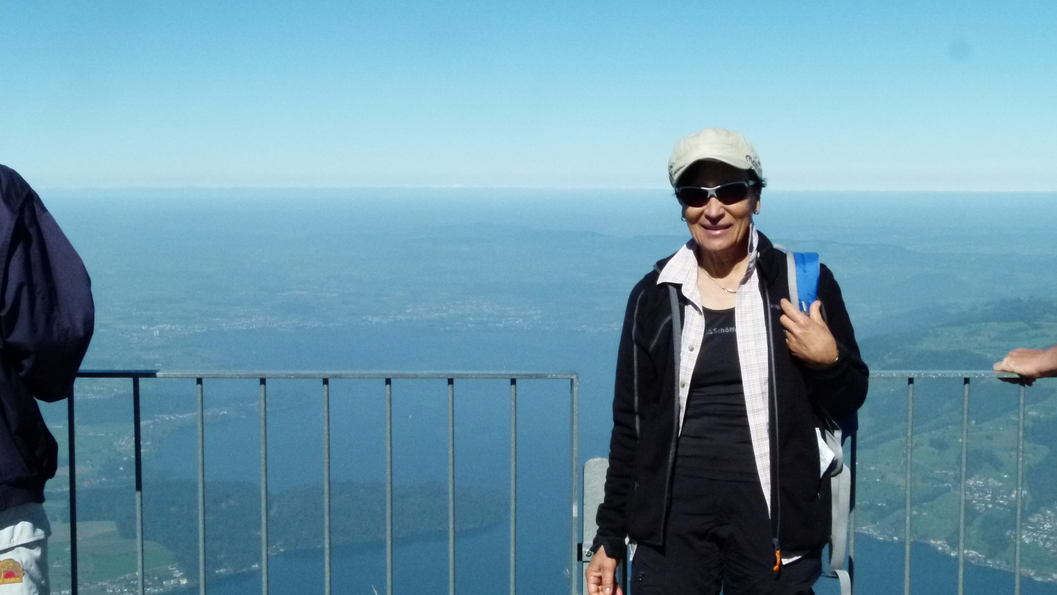
Yes, it was a suitable day to come up here. We are surrounded by tourists from all nations most of which had come up by train. Two young Chinese guests on their honey moon are taking fotos. “Do you want a foto of both of you?” I ask. They happily smile into their camera. Then they propose to take a picture of me – and here is the result. The young wife apologizes, because a hand and a person had come into the way. I surprise them with all Chinese I know: “tsie-tsie” (thank you). I hope they keep Switzerland in good memory.

The train takes us down to Vitznau. Our train does even not stop on the way, though more tourists are waiting at the stations. Our train is just full. And the next trains have been booked by groups.
Mark Twain also drove down to Vitznau. “We got front seats, and while the train moved along about fifty yards on flat ground, I was not the least frightened; but now it started abruptly down stairs, and I caught my breath. And I, like my neighbors, unconsciously held back, all I could, and threw my weight to the rear… there was no level ground at the Kaltbad station; the railbed was as steep as a roof… the train came sliding down, and when it reached the right spot, it just stopped… by the time one reaches Kaltbad, he has acquired confidence in the railway, and he now ceases to try to ease the locomotive by holding back. Thence forward he smokes his pipe in serenity… However, to be exact, there is one place where the serenity lapses for a while; this is while one is crossing the Schnurrtobel Bridge…” (ch XXVIII).

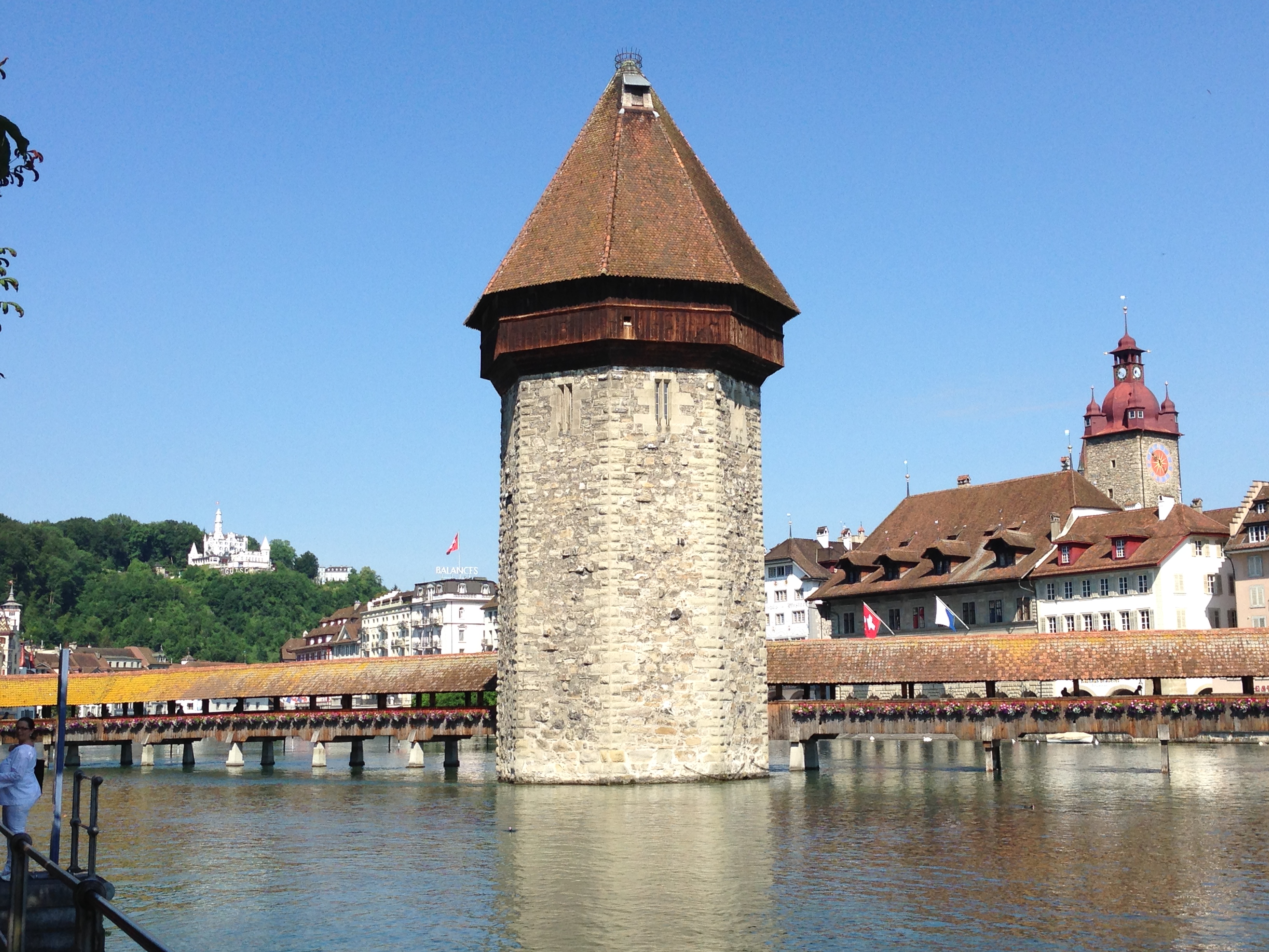
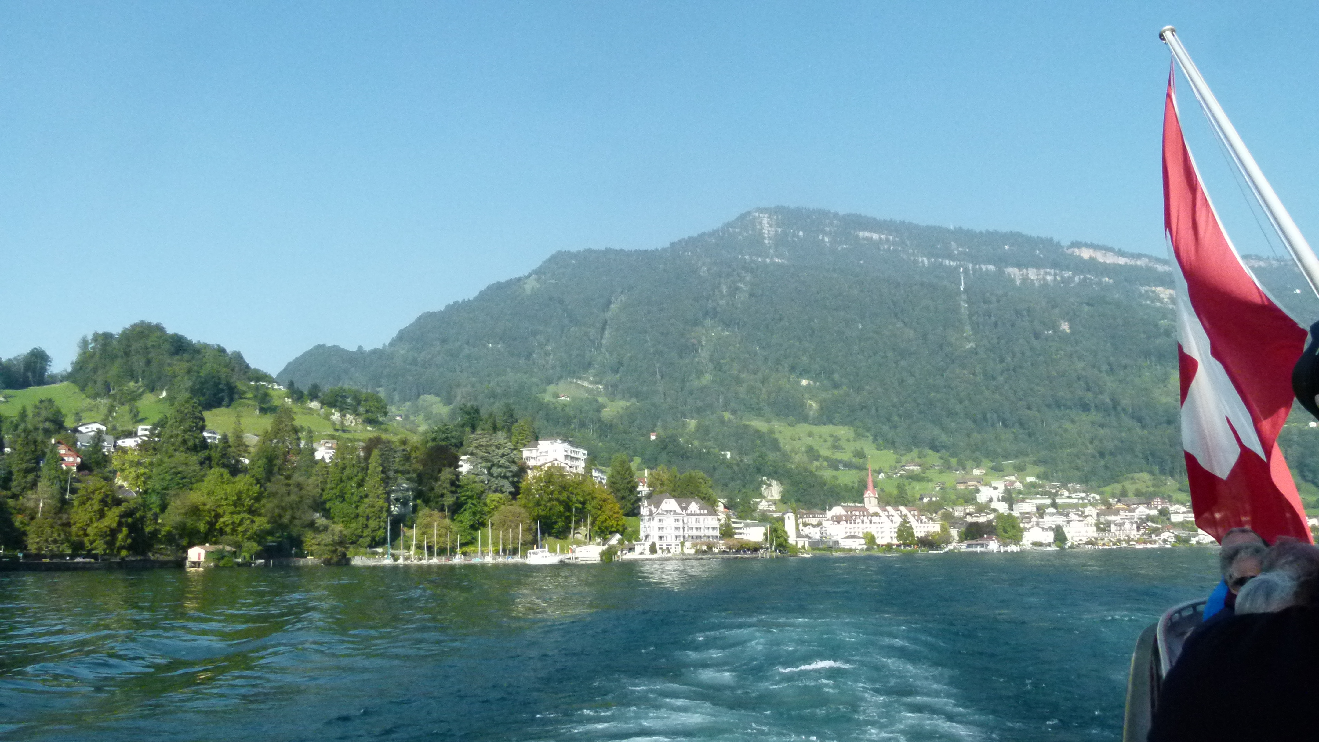
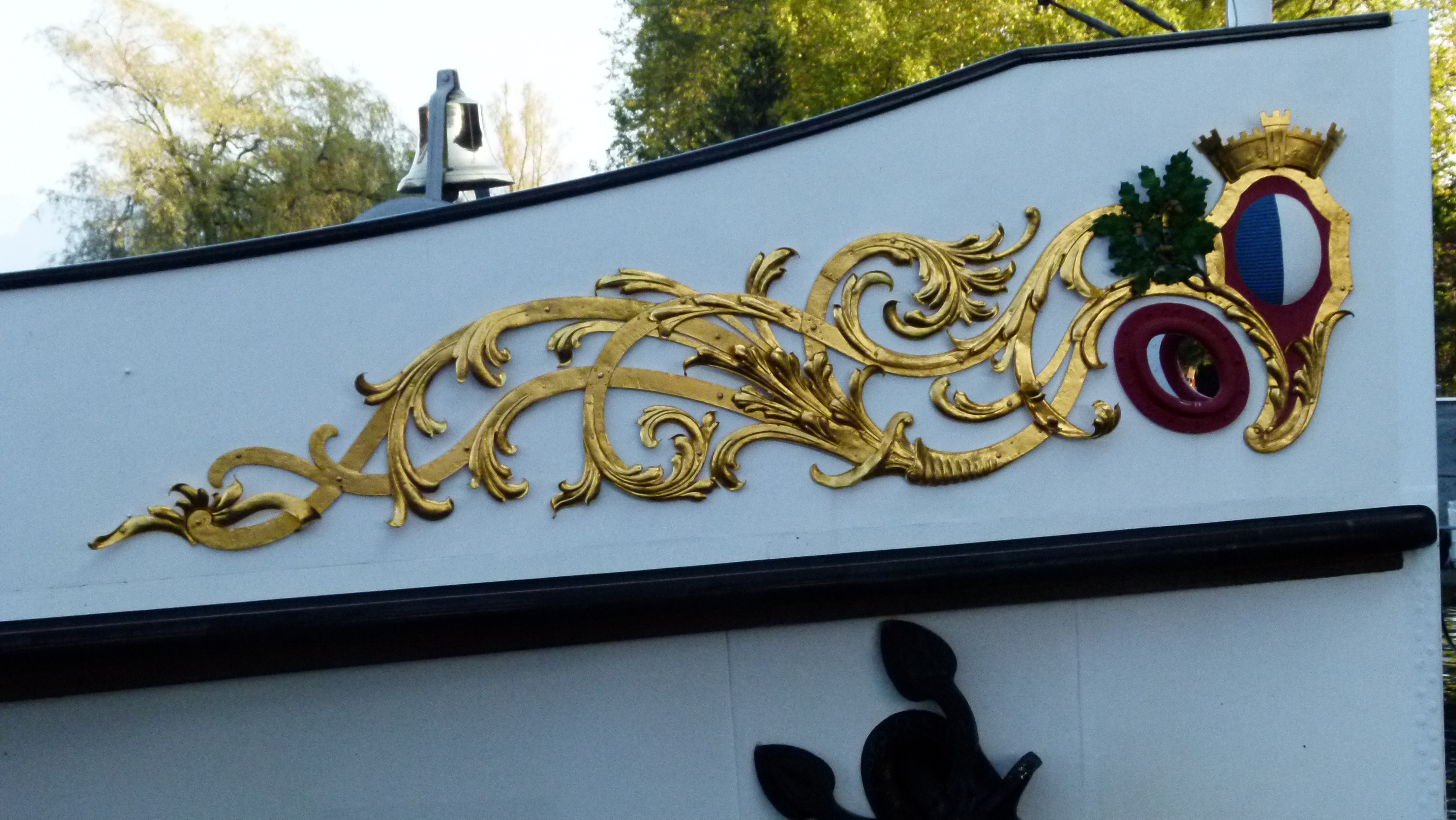
In Vitznau we take the steam boat back to Lucerne. It is the steam boat with the name “Lucerne”.

The captain proudly introduces us to his boat. It had been ordered from Germany in 1928. When the boat arrived, the engine broke down and was replaced by a Swiss Sulzer engine in 1929. Since that year this steam boat has been operating on the Lake of Lucerne. It absorbs 1200 persons and is the largest boat here. Today the capacity of this boat has been used up – I am sure.

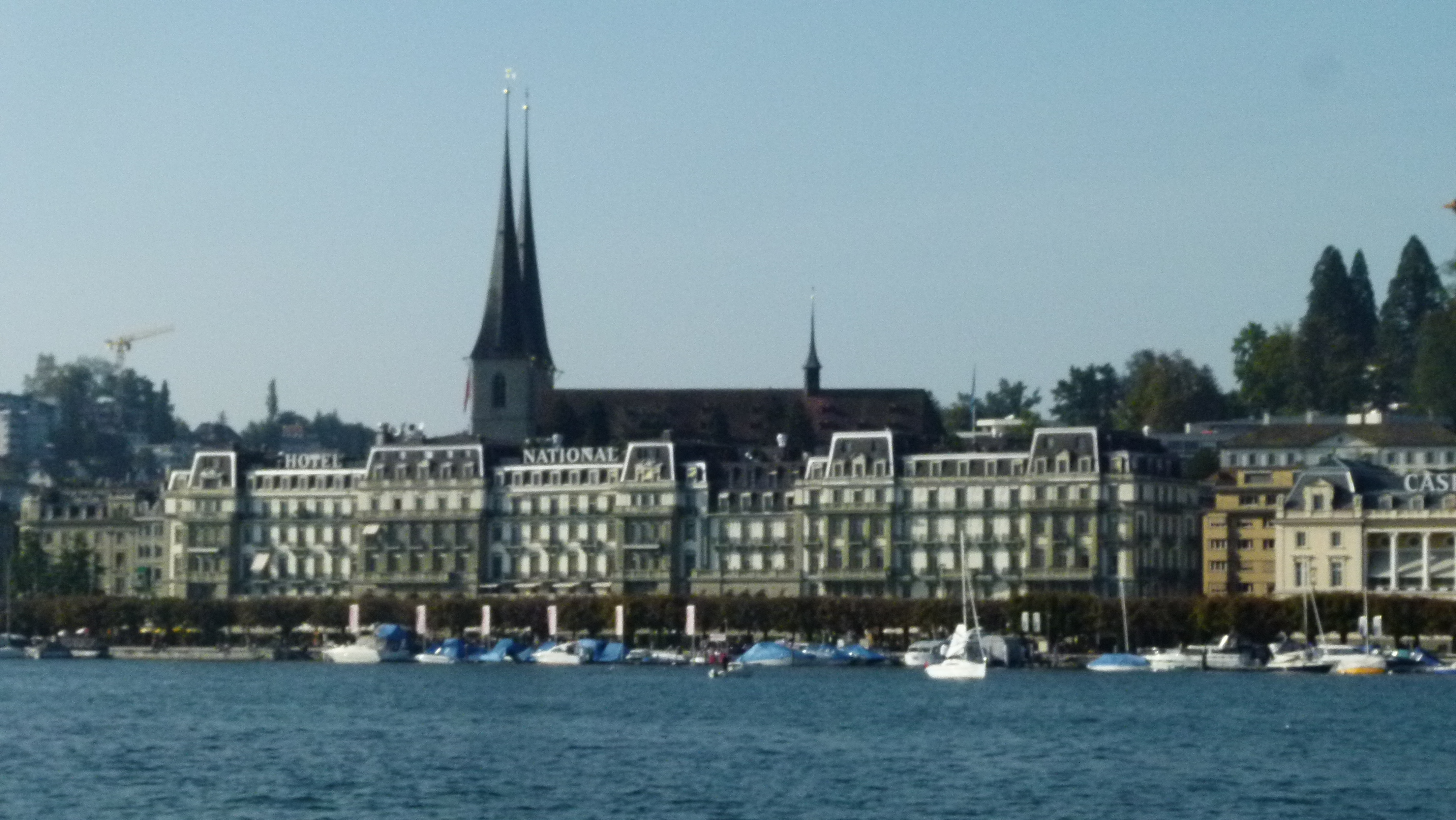
“An hour’s sail brought us to Lucerne again. I judged it best to go to bed and rest for several days…” Mark Twain concludes his report of climbing the Rigi (A tramp abroad, ch. XXX).

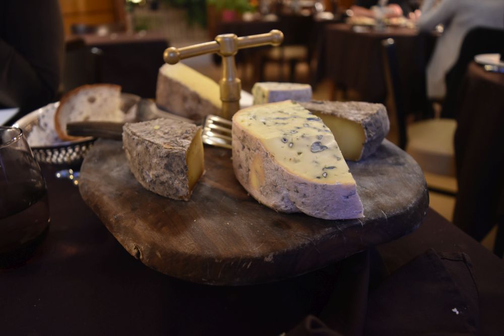
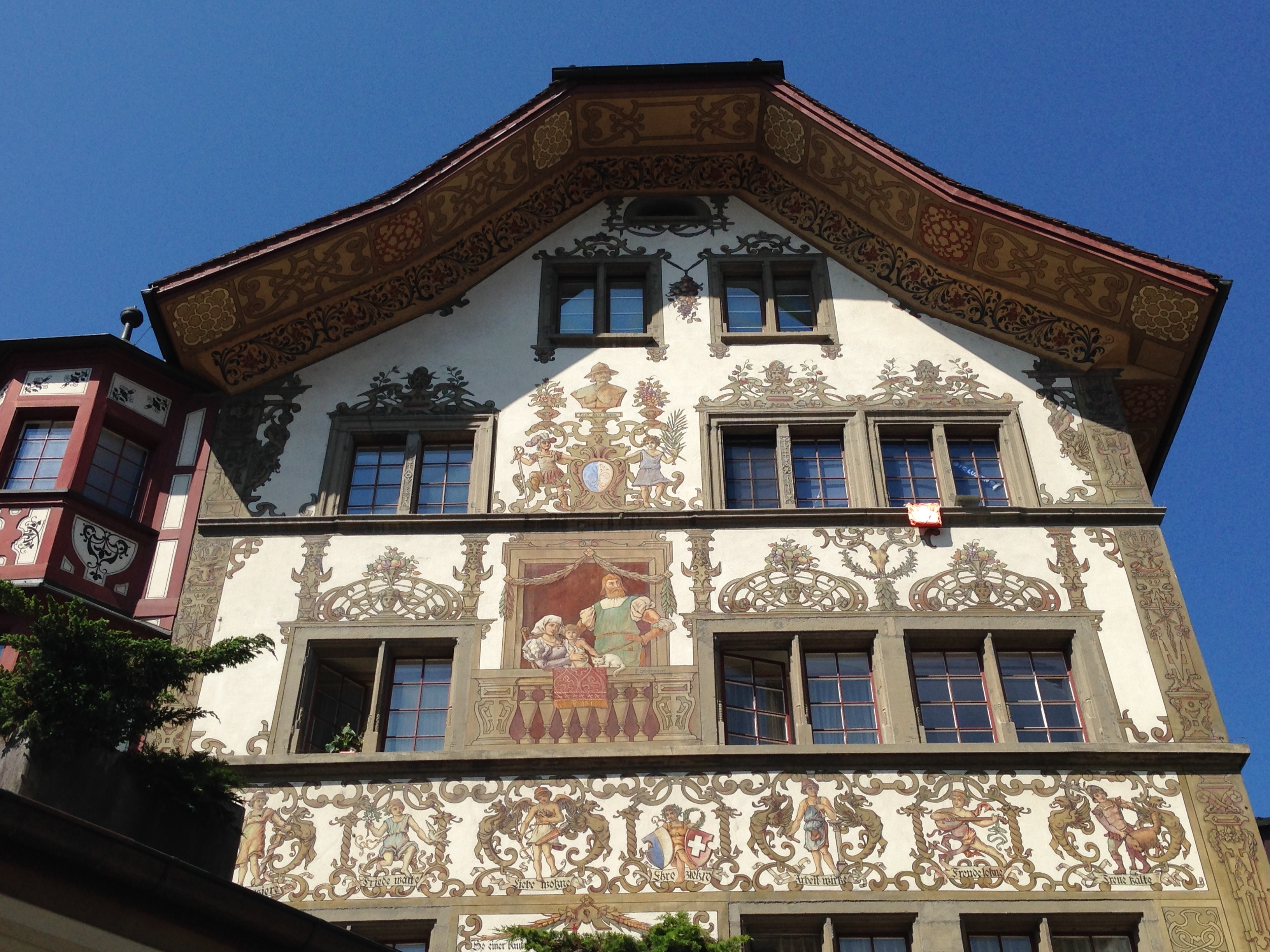
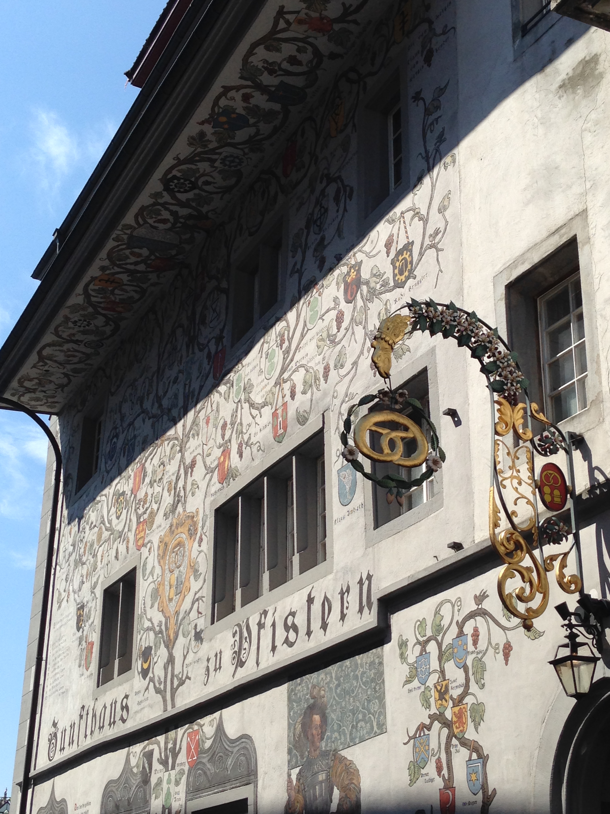
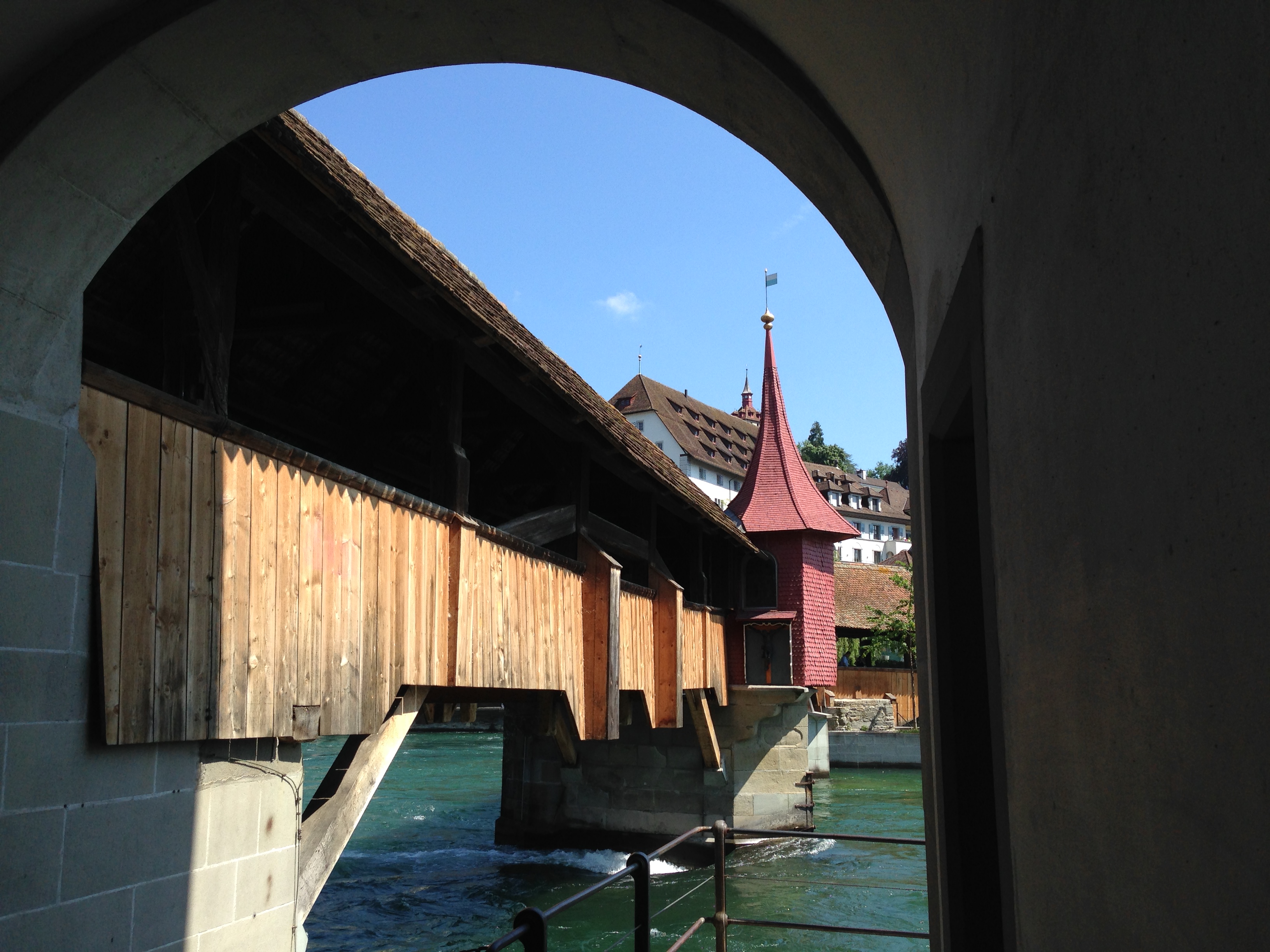
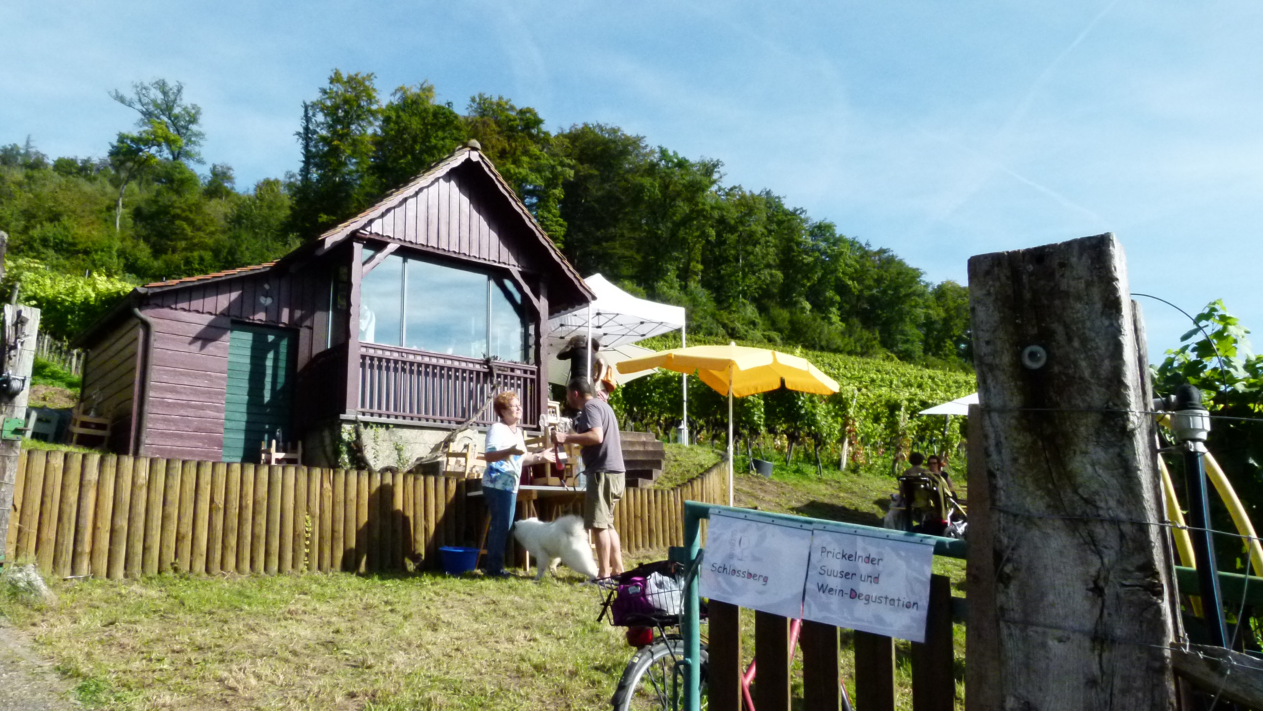
The two of us walk through the old and narrow streets of Lucerne and along the Reuss. All restaurants on the right hand shore are packed with people enjoying one of the few sunny days of this year. We go to the more quiet and less sunny left-hand shore and top the day with a wine and a goat cheese – both from the canton of Lucerne. And then one of the evening trains takes us back to Basel.


