Now in March/April 2020, the virus stopped me from being on the road. I am at home. After all, I am 65+…
My home tells me stories – I just have to listen: This photo gallery reminds me of April/Mai 2008, when I travelled to the Victoria Falls, to Botswana and to Namibia with Ernst.

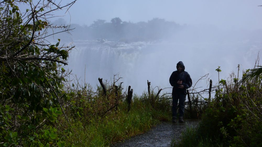
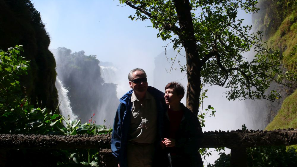
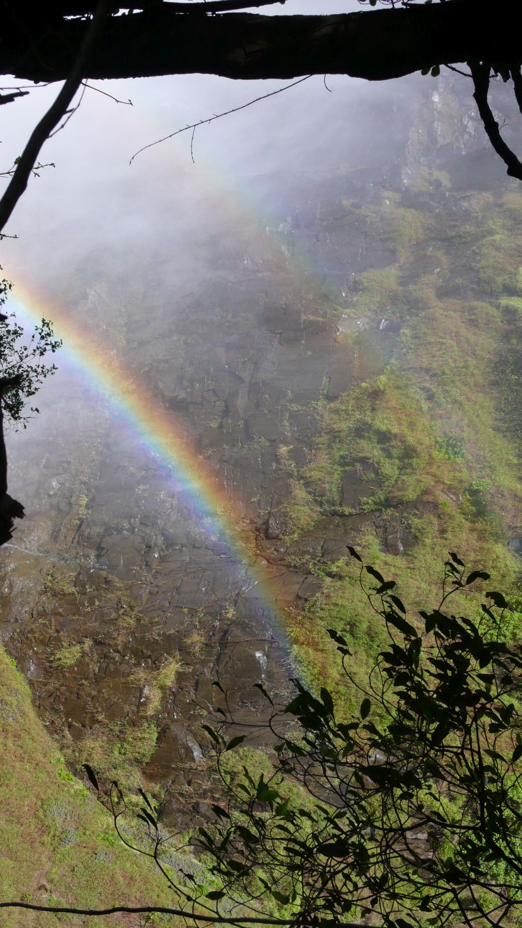
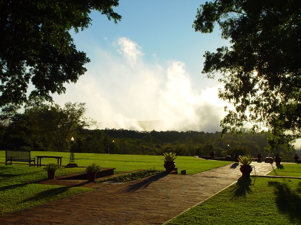
I have already talked about our visit to the Victoria Falls.
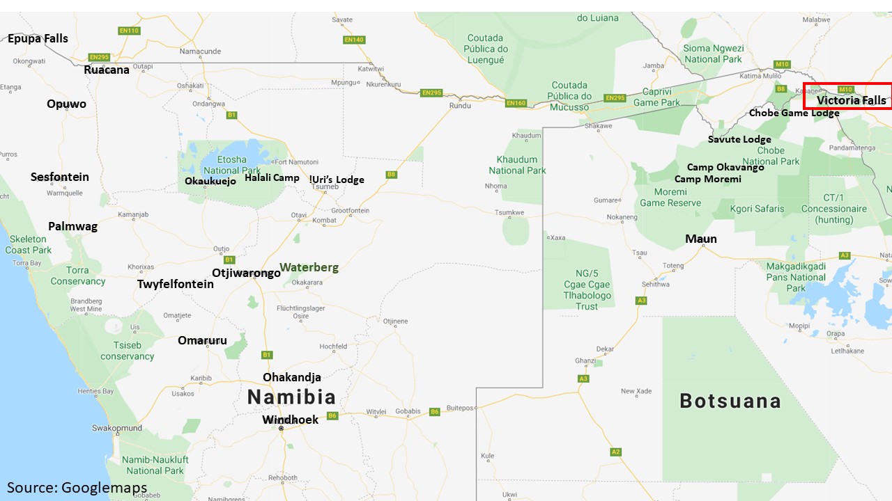
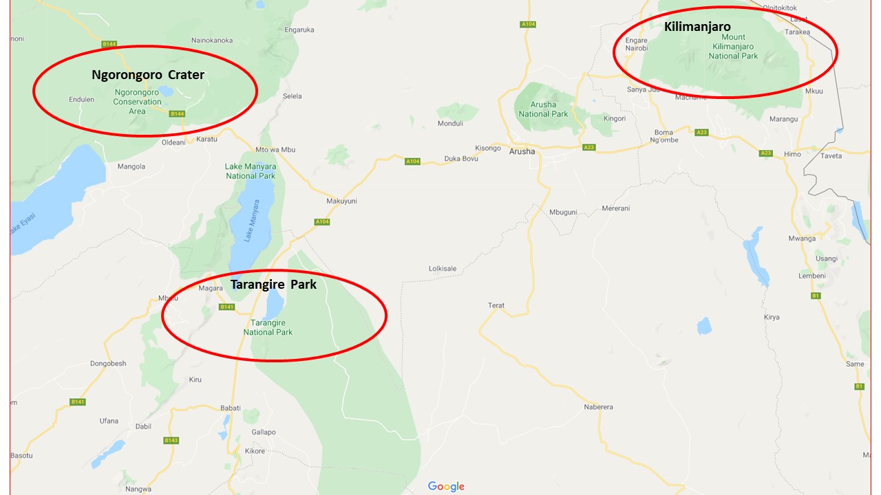
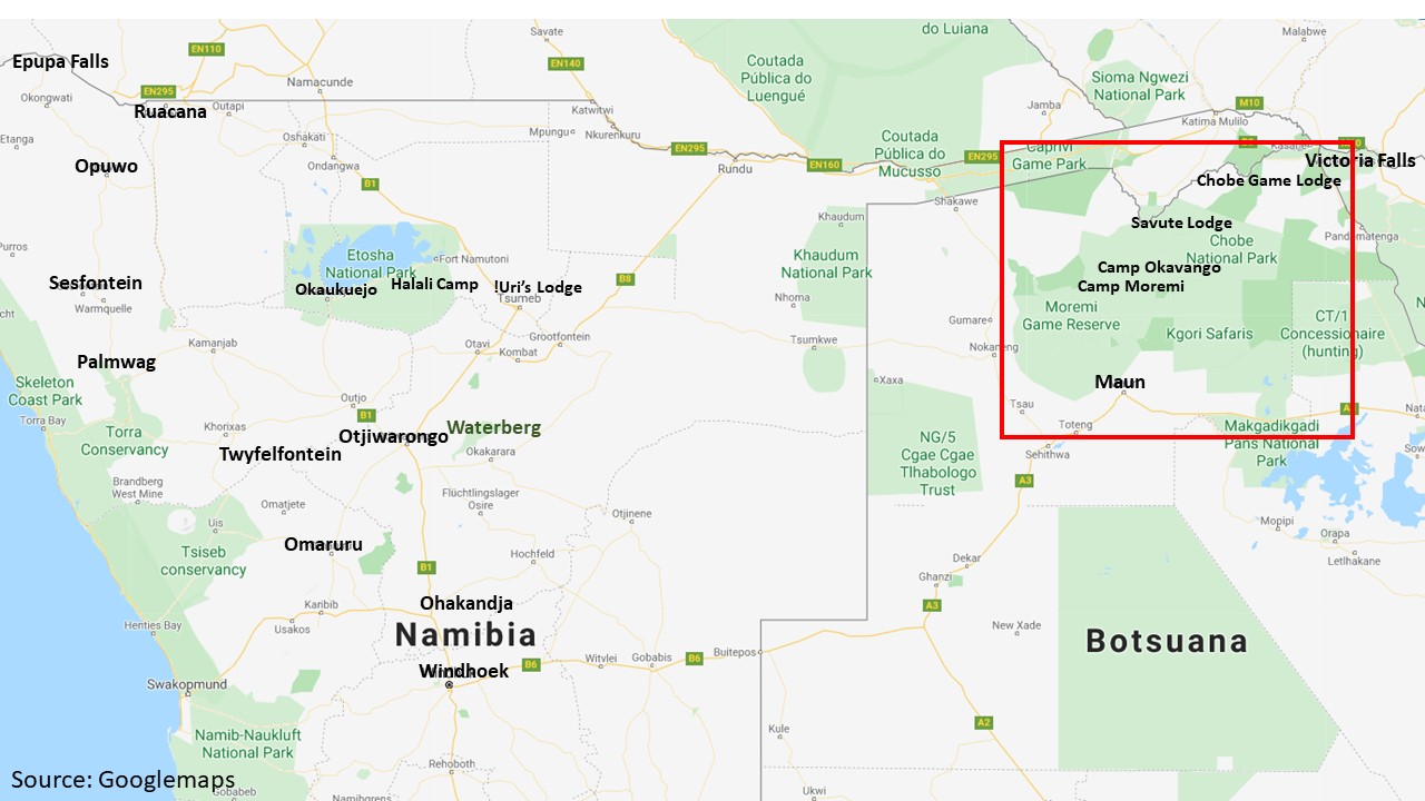
Let me now continue with our fly-in safari in the Okavango Delta. This map (taken from google maps) shows “our” lodges: From the Victoria Falls, a car driver takes us to the Chobe Game Lodge. From Chobe we fly to the Savute Lodge and then to the Okavango Camp. By boat we get to the Camp Moremi and finally we fly out to Maun and to Windhoek, where we will pick up our camper to tour through Namibia.
Chobe Game Lodge – the pinnacle of Botswana
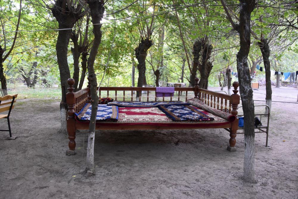
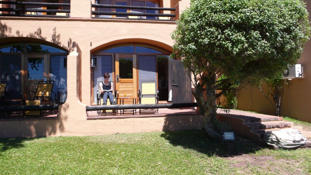
The Chobe Game Lodge is located directly on the Chobe river. We have a room with a canopy bed – wonderful. “Our” Lonely Planet says that this lodge is the pinnacle of Botswana. The meals are delicous – on our first day, we have a large first course buffet, then Impala Stroganoff and a rich dessert buffet.
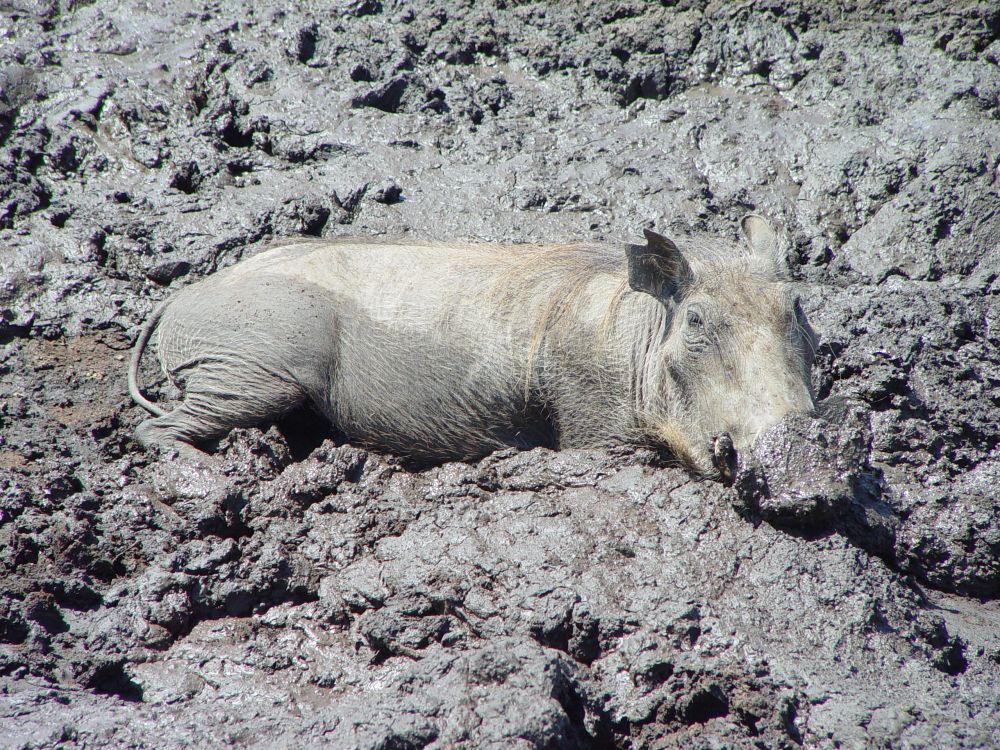
From our terrace we see the river. Warthogs visit us in the garden.
We stay in the Chobe Game Lodge for two nights and go for game excursions before breakfast and after afternoon tea, with Lebuku in the safari car and once in the boat with Brigitte. Lebuku knows each animal, each bird, each plant. The early morning game excursions are very, very cold… Fortunately, Lebuku takes warm blankets along, they are needed.
Ernst was happy to see so much wild life that he took most of the photos, and I was happy that he was happy.
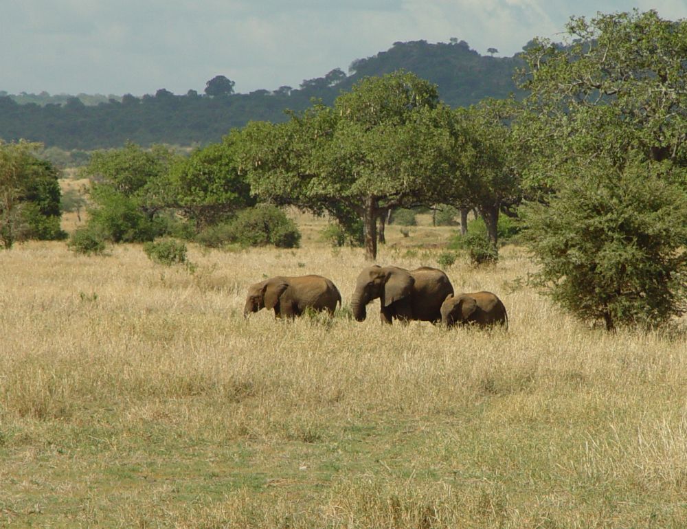
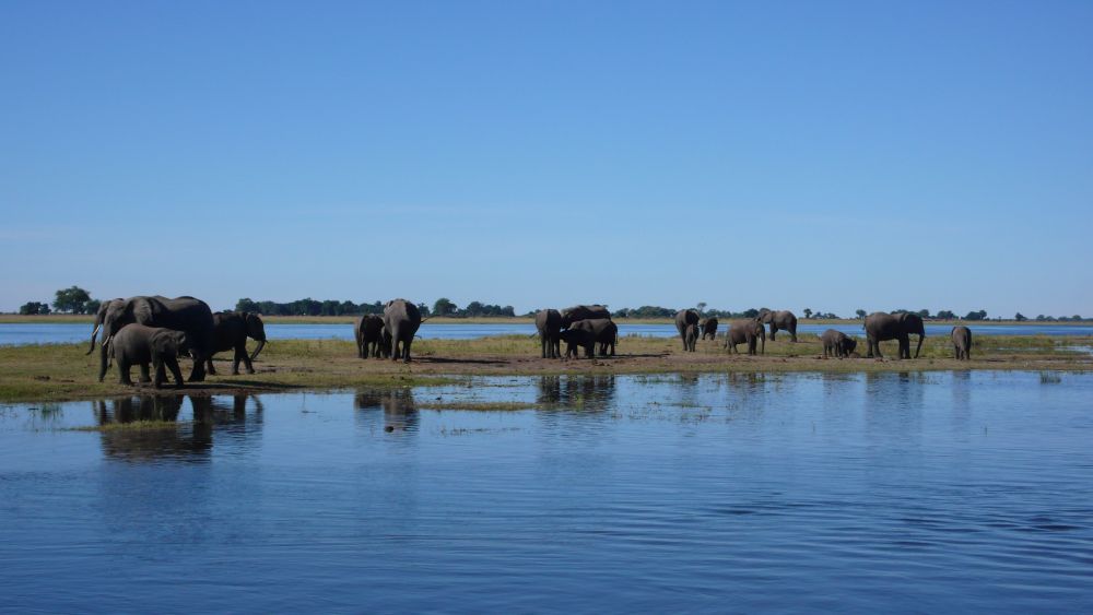
This is a herd of elephants in the Chobe river.
This huge elephant comes pretty close. It does not like to see us… Lebuku backs our car up – carefully.

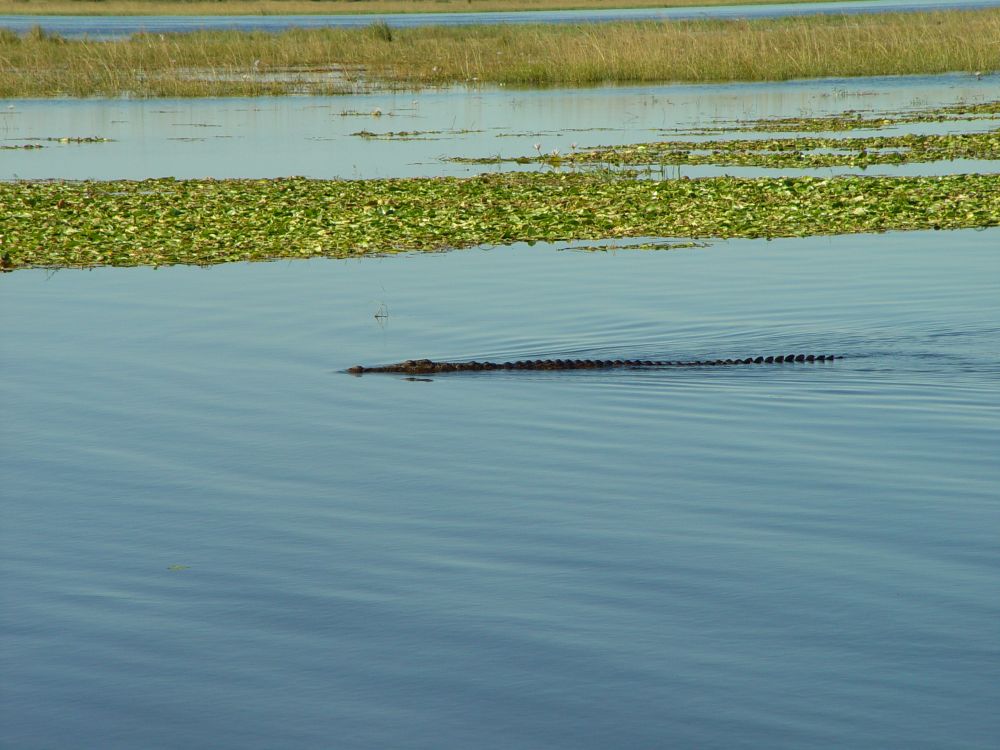
Watch out, this is a crocodile. No swimming here.
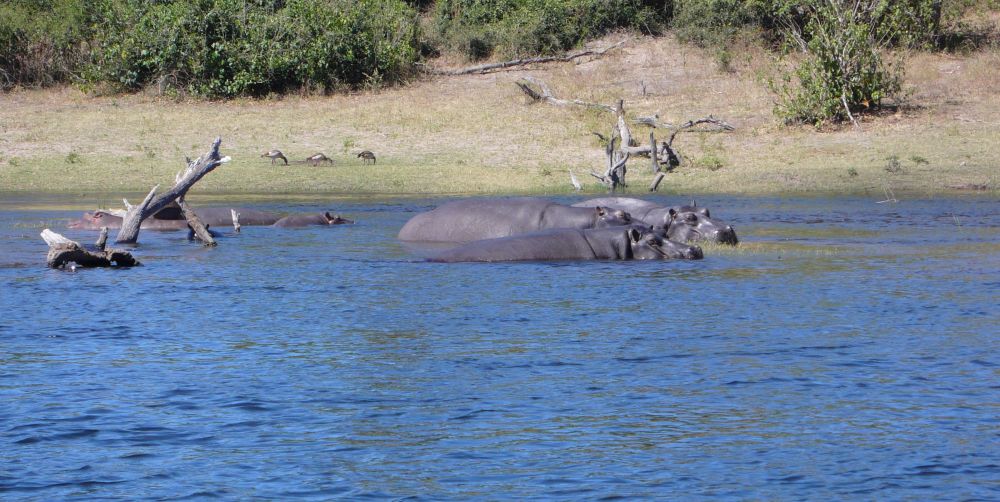
Hippos “hide” in the Chobe river. Hippos stay in water during the day and only get out to graze at night, Lebuku tells us, as they would catch a sunburn during the day. Though they are vegetarian, they can be utterly dangerous for us, when meeting them face to face.
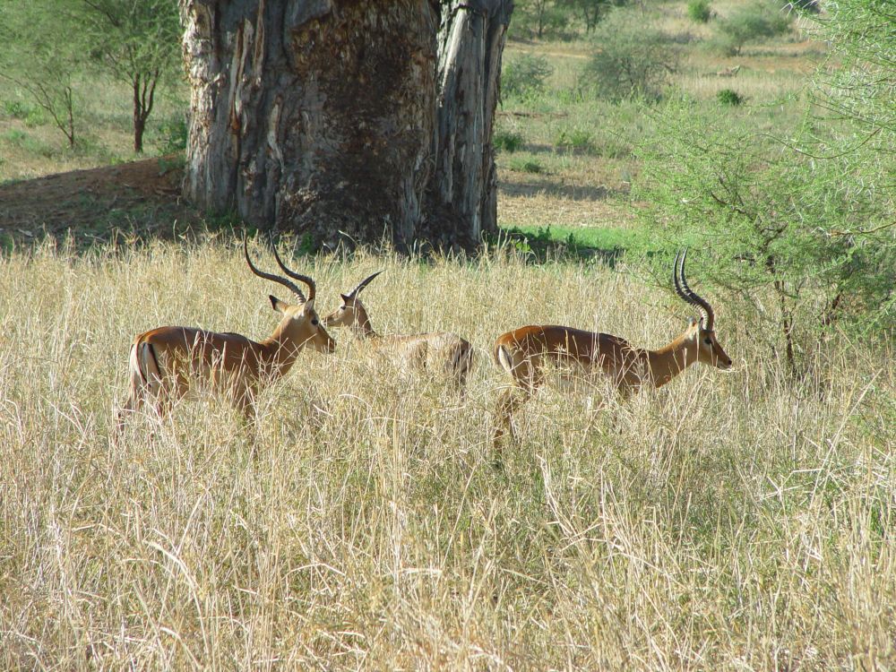
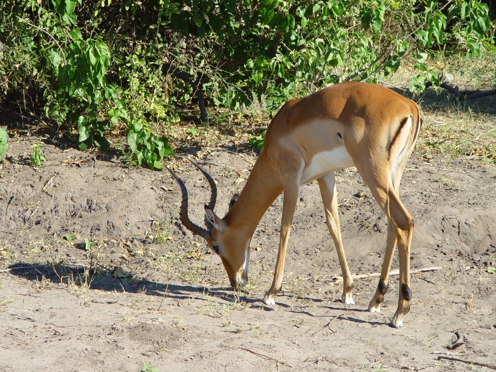
The graceful impalas are all over.
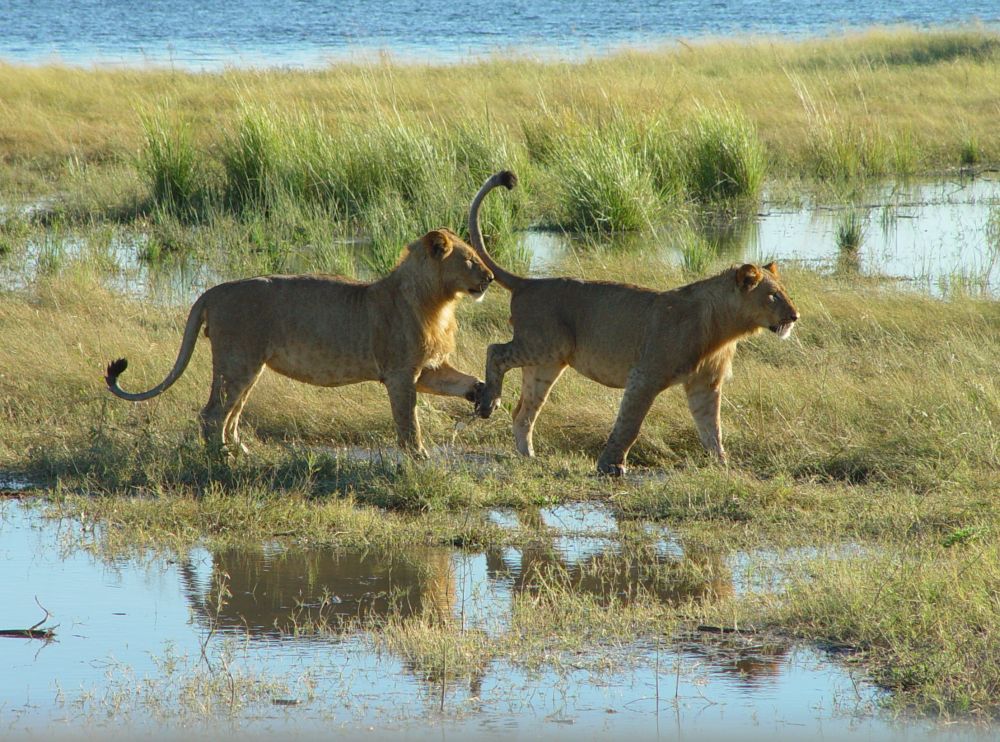
Young lions… Lebuku is good at following the tracks that I would have never noticed. He recognizes, how old the tracks are, whether they belong to a young or an old lion, to a male or a female lion, and whether someone else has passed after or before the lions.
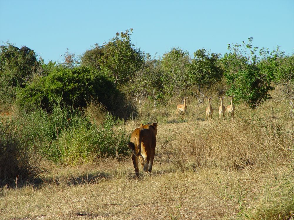
Mama lion walks into the bush, carefully watched by four impalas.
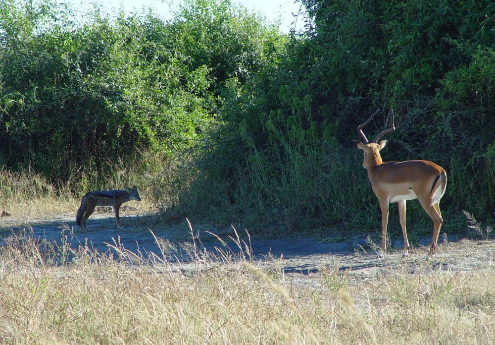
It is dangerous all over for the impalas – what might be the intentions of this jackal?
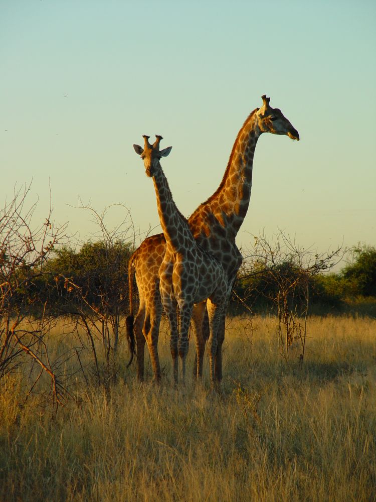
Giraffes – they look like the logo of the zoo at my hometown Basel. They keep eye contact over distance which is easy for them being so tall.
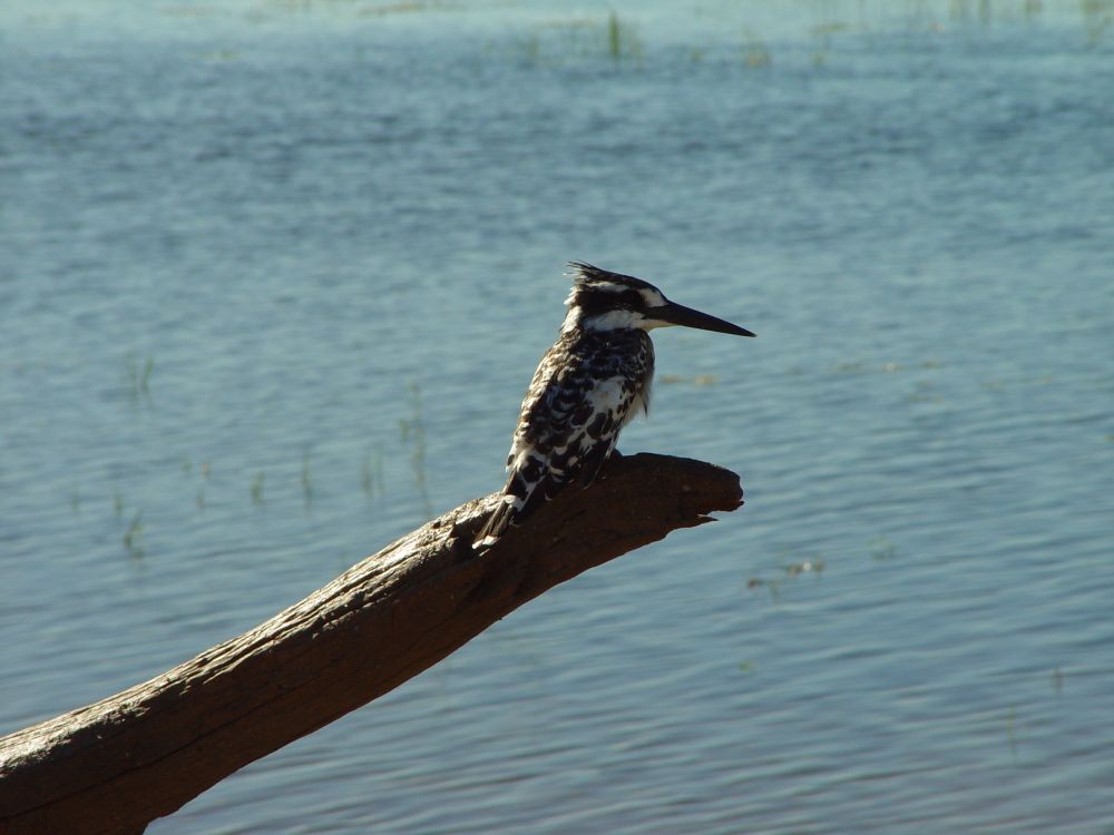
The neat pied kingfisher sits on a branch near the Chobe river.
This red-blue roller sits on a bush (Gabelracke in German).

This is an African fish eagle.

We see many more animals. I admire the dung beetle that rolls an enormous piece of dung through the sand (much larger than itself). We see phytons, squirrels, baboons, water bocks, kudus and a rich variety of birds such as guinea fowls, vultures, plovers, ducks, storks, hornbills or ibis. We see tracks of leopards, but they are hiding well.
Once we stop at a picknick area. “Is it correct, Lebuku, that lions avoid picknick areas?” I ask (jokingly). “Yes, right, look here, these are lion tracks”, Lebuku answers and points to the ground. Hm… In the evenings, we take a drink near the Chobe river, while the sun is setting.
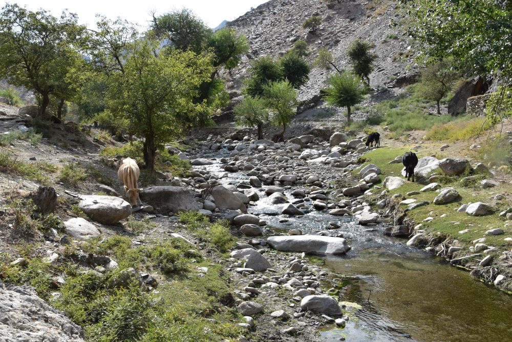
Mankind’s role in this wonderful wildlife world provokes my doubts: The borders of the Chobe National Park have fences, ad beyond the fences live the farmers. We can see farms with cattle across the river. The fences prevent the animals from migrating to the places they went to before. I am not sure, whether the restrictions imposed on the wild animals by us men are a sustainable.
After dinner, we join the manager of the lodge on his terrace. He is a hobby-astronomer and explains the stars and planets to us using a telescope. I can see the Saturn with its rings. We recognize the southern cross and various constellations of stars such as the Orion, Castor and Pollux or the Gemini. The manager tells us that 2000 years ago the Greek could see the southern cross, because the earth is wobbling.
The next morning, the alarm clock wakes us at six. Ernst asks me, whether getting up is a good idea. Oh yes, it is. We have our last safari excursion with Lebuku in his jeep called Thutlwa (=giraffe). After breakfast, we leave for Kasane airport. Marco flies with us to the Savute Camp Site. Marco is from New Zealand and he wants to gather miles. With us is a freshly married couple from the Basque Country (Spain) enjoying their honey moon. Their names are Leida and Javier.
Savute Camp Site – the Savute river is dry now
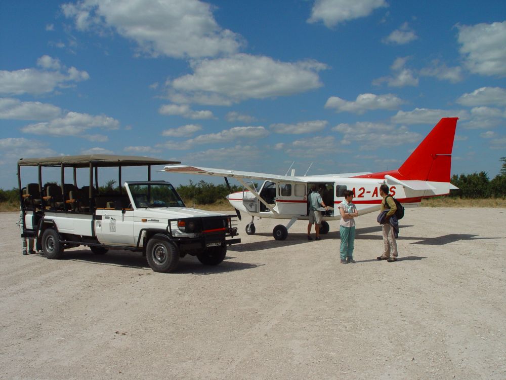
Marco lands his small airplane safely on the pebbled airstrip and Gwist drives us to the Savute Camp Site, where the management awaits us with refreshing wet towels.
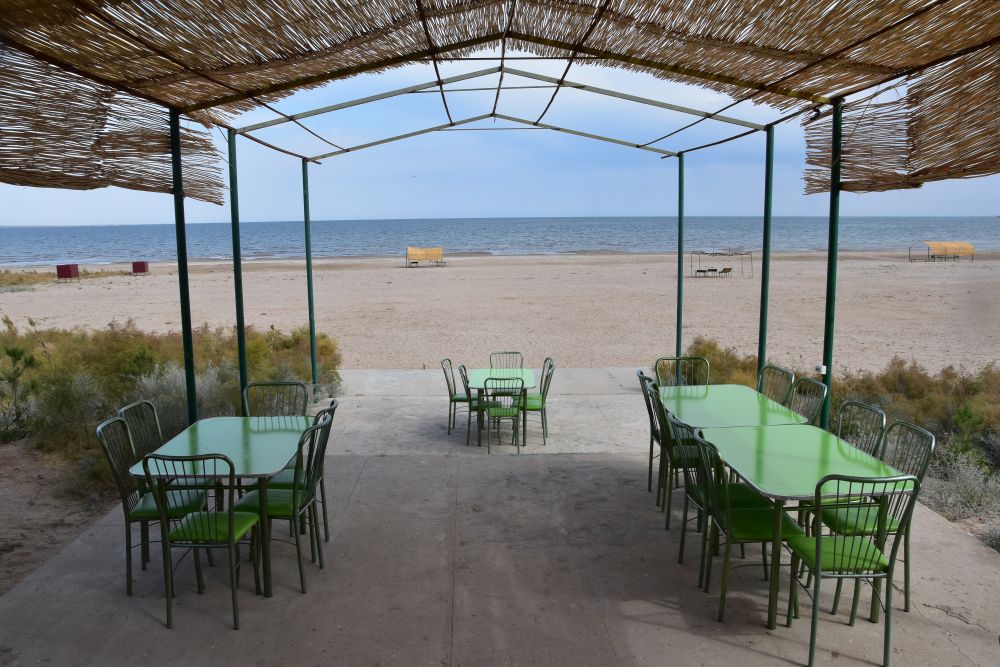
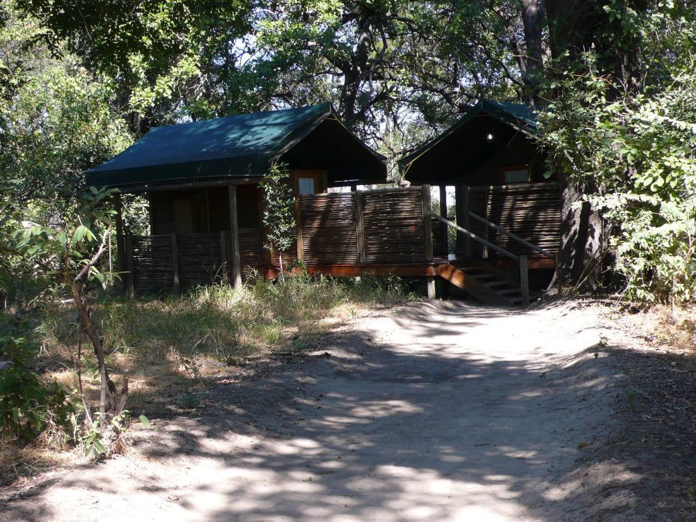
We now live in the Bungalow number 5 in the bush. We find two cans inside, one to kill insects and one to blow the horn, when we need help – there is no telephone here. We stay two nights and Gwist takes us out for safari rides early in the morning and after three o’clock tea. Tea and sometimes meals are served on the terrace overlooking an artificial water hole, where we can watch animals, often elephants.
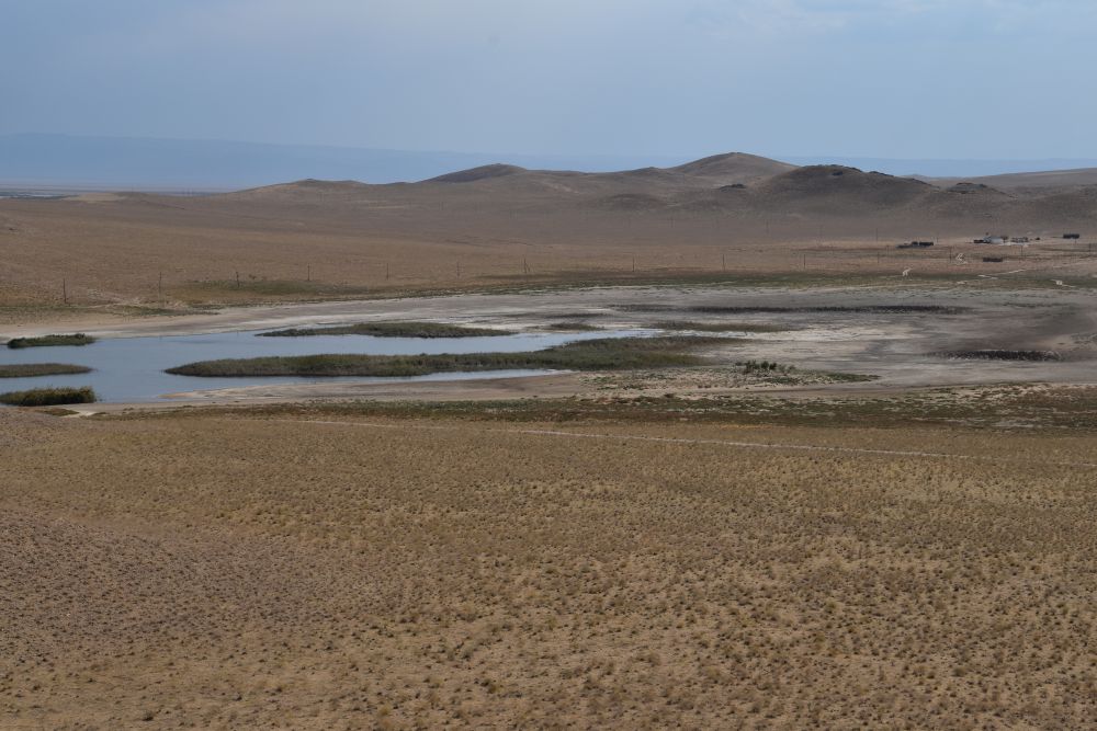
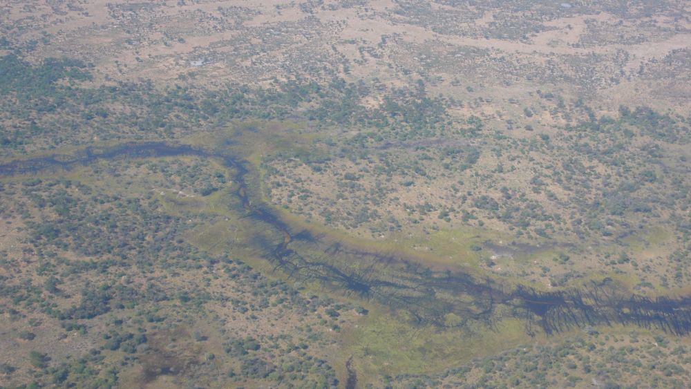
Gwist explains to us that the Savute Camp is located in the southern part of the Chobe National Park. He adds, Savute is a river that due to seismic movements sometimes has water and sometimes not. In spring 2008 the river has been dry since 1982. Therefore now, the Savute area is dry.
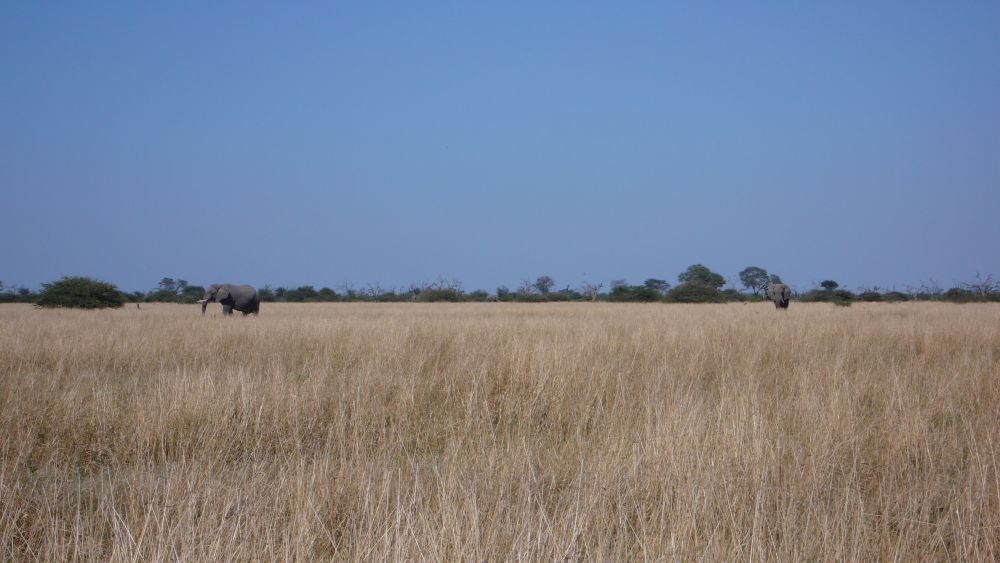
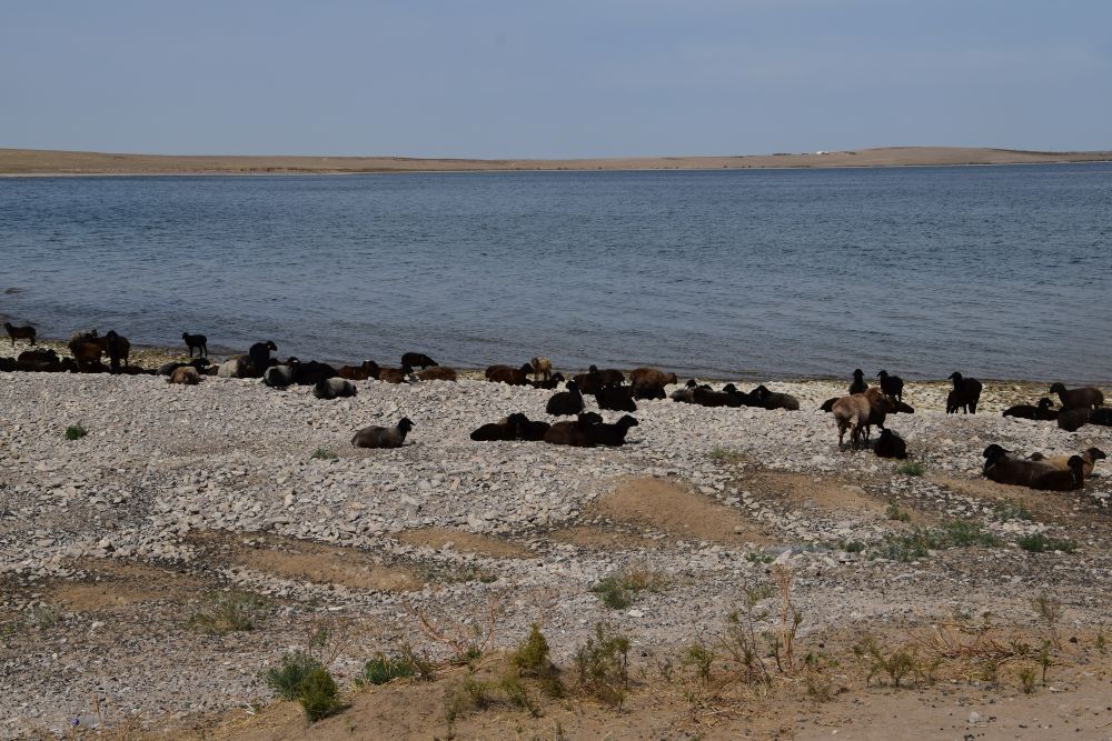
This grassland becomes marsh land or even a lake, when the Savute river has water, Gwist tells us.
Later in 2008 the Savute river started to fill with water again and since 2010 it has been full of water and the area must be greener now.
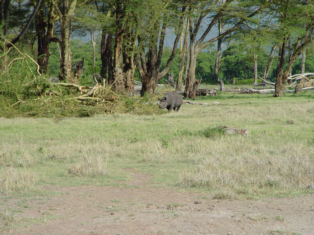
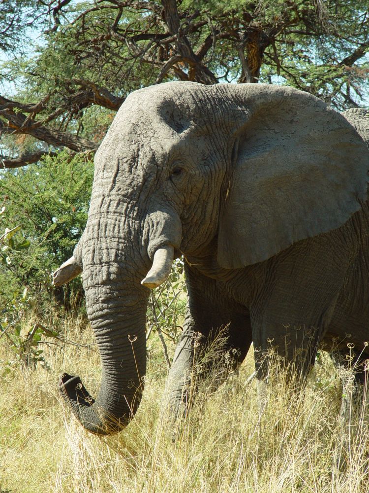
Here are some impressions from our safaris with Gwist. The wrinkled elephant, …
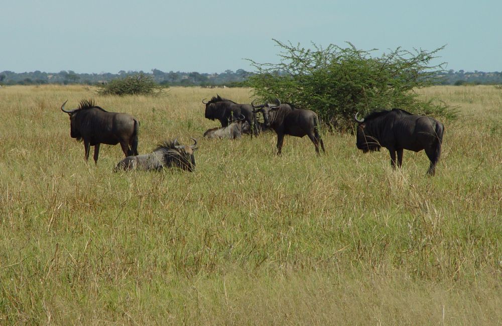
… zebras…

… that like to be close to Gnus,…
… some impalas in the now dry marshland, …

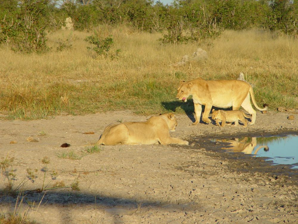
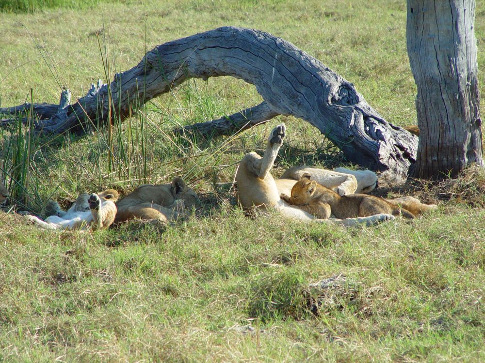
… lion ladies with a baby, …
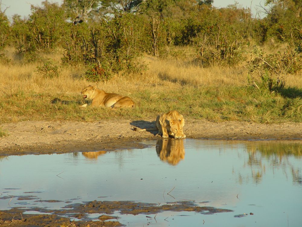
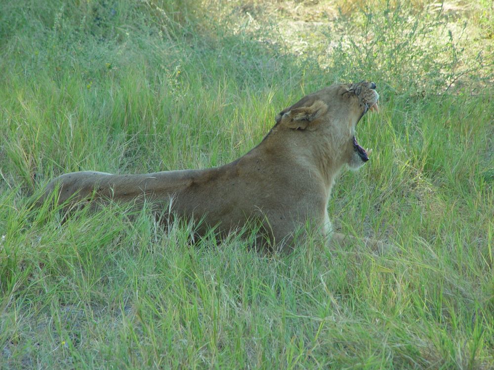
… lion ladies yawning and drinking water,…
… cute mongooses,…

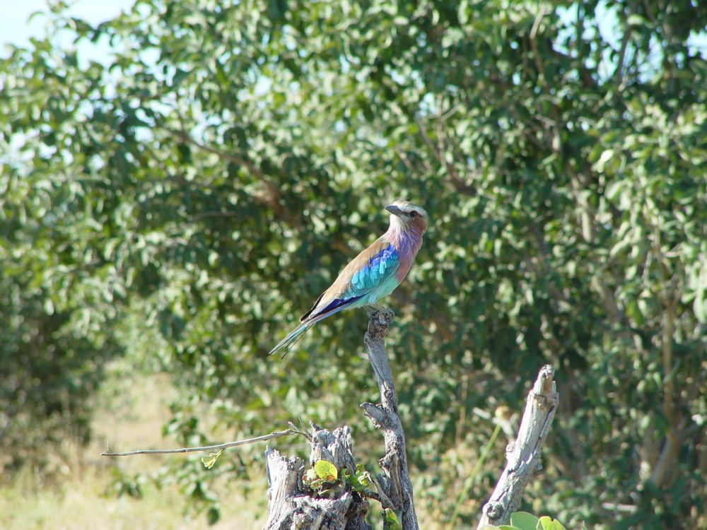
… a lilac breasted roller,…
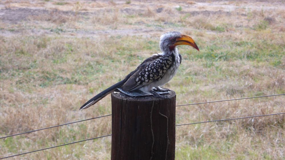
… and the hornbill (a colourful raven) on the terrace of our lodge.
This is just a small selection of our animal photos – we have seen many more – just gorgeous.
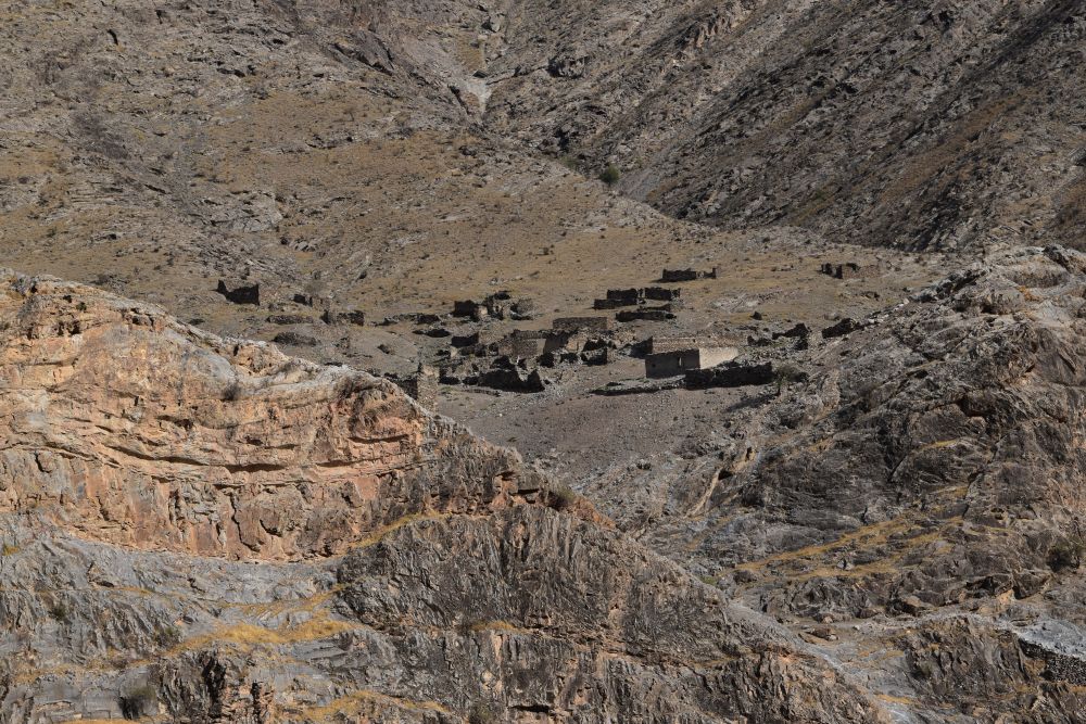
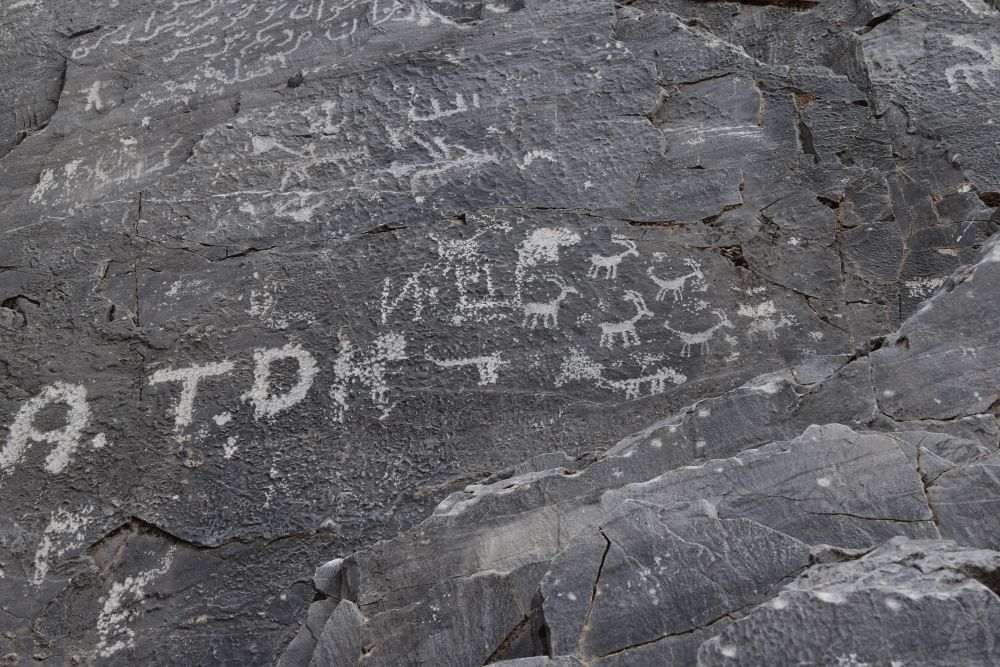
Ernst looks at his GPS and mumbles: “Behind that hill must be the rock paintings.” It is true. Gwist is excited about Ernst’s GPS with the Tracks of Africa that shows all the paths around his lodge. We climb into the rocks and discover the drawings of an elephant, an antelope, a giraffe, two snakes and perhaps a buffalo.
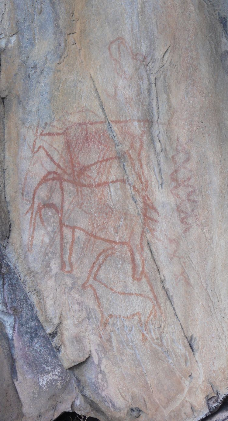
While Ernst can never believe that such paintings are old (my engineer has a very critical and down-to-earth attitude), I do some research with Gwist in the lodge library. The books say that the paintings are between 6000 and 20’000 years old. Difficult to say, how old they really are, but at least, these paintings only show wild life and no cows or horses – hence it could well be that they are old.
Our next target is the Okavango Camp.
Okavango Camp – boat and walking safaris with Obed, the San bushman
Our plane lands at the “International Airport of Okavango” (this is, what a sign says), which is an airstrip with some grass. Small and delicate Obed welcomes us. His hair is bundled to a plait. He belongs to the San people. We will spend two nights in the Okavango camp, and we are now an ad hoc group with a Dutch couple, on their honey moon. The meals are delicious in the Okavango camp and I particulary love the Amarula liqueur apéro, made from Marula fruit.
Obed and Emma take us out for a mokoro boat ride. Mokoro boats are made to glide through the shallow side channels of the Okavango river. Now the mokoro boats are made from artificial material, but before they were made from the wood of ebony trees.
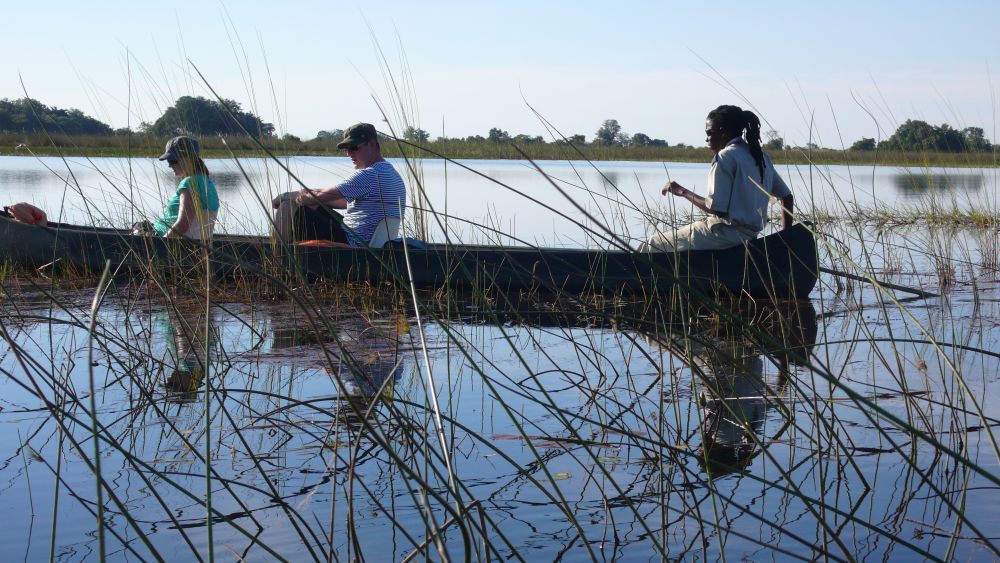
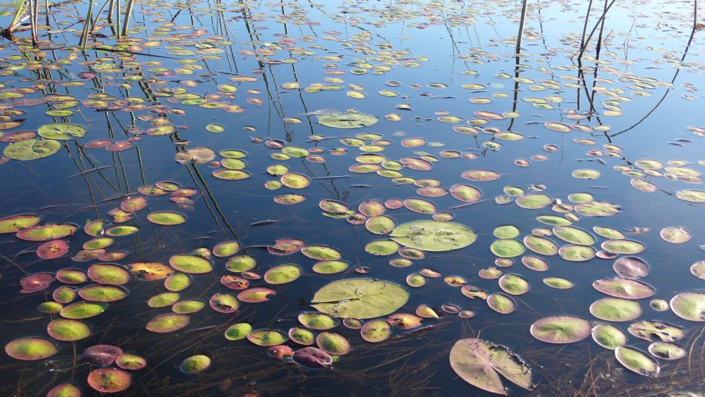
We reach the main river with miscanthus grass and water lilies.
Again, we see many birds, such as kingfishers, grey louries, pigmy geese, and fish, such as catfish and barbs. Obed tells us that, to catch fish, the San people spike them using miscanthus. On our way back, we cross the elephant highway – we hear an elephant walk “splash-splash”, and then we see it. We are sitting in these light mokoro boats, pretty vulnerable. The elephant has heard us, stops and moves his ears back and forward. Obed and Emma back up our boats and we wait, until the elephant has passed by. Yes, elephants have the right of way here.
The sun is setting. Obed tells us a story, this is what the people do here, when the sun sets: The hare finds a rope and sets out to tease the elephant and the hippo. To the hippo, the hare says that it, the hare, is very, very strong, as it will pull one end of the rope and let the the hippo pull the other end of the rope. He then tells the elephant the same story. But then the astute hare gives the hippo and the elephant the opposite ends of the rope. They both think that the hare is at the other end of the rope and they are puzzled, how strong that hare is… nice story!
Then Obed takes us out to a walking safari. By motor boat, we reach a landing stage, leave the boat, and then we are on foot in the middle of the bush. With elephants, buffalos, lions, leopards or antelopes. Obed has grown up surrounded by wild life. He leads us carefully and shows the tracks and the dung of the animals. We meet some elephants, follow the tracks of lions, get almost to close to a herd of buffaloes, see a leopard from very far… it is an interesting, yet almost scary experience.
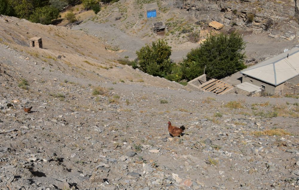
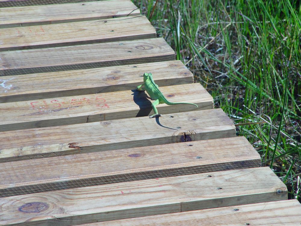
Returning from our walking safari, we find this brave chamaeleon making huge steps. It keeps on falling between the wooden planks, “gathers” its legs again and continues its way, bravely.
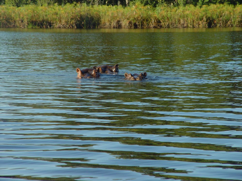
Once we go for a motor boat ride. Obed is at the steering wheel. We glide through papyrus grass, water figs and common reed. Obed sees a crocodile, but it disappears so quickly that none of us can see it. Again we see much wildlife along the water, elephants and birds. These hippos are not all amused, when we arrive. They stand up in the water and attack our boat. Obed backs up and approaches them again, when they have calmed down. Now, we just see their ears, eyes and noses in the water.
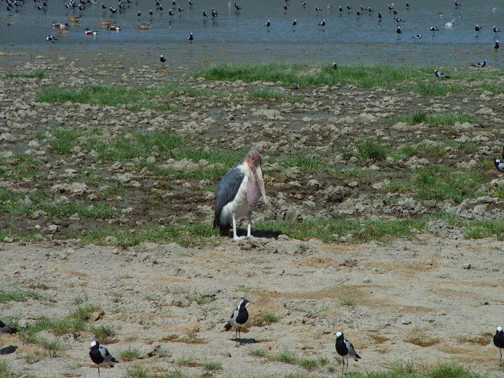
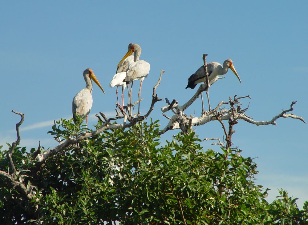
Our next destination is the Moremi Game Reserve. The Okavango Camp manager takes us by boat along the Okavango river network to a small island, where we meet Moota who came by boat from the Xugana camp with some more guests. The guests from Xugana want to go to the Okavango Camp, where we came from. Moota drives with us to yet another island, where Mod picks us up and takes us to our destination, the Moremi Game Lodge. Complex logistics in the bush that work out smoothly, and on the way, we see much wildlife, among them these storks.
Camp Moremi in the Moremi Game Reserve – our last wildlife experience in Botswana
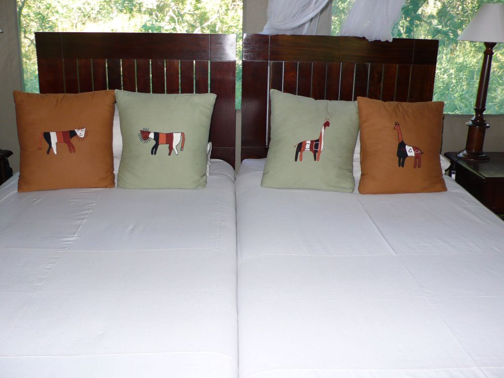
Ernst, looking at his GPS, mumbles: “Soon, we reach the large lagoon”. Right, we reach open water and the landing stage of the Moremi Camp. We settle in the bungalow number seven…
… where the beds have been prepared carefully.
We are not allowed to walk from the restaurant to our bungalow at night – the hippos might be wandering from the lagoon to their pastures and hippos are very dangerous for us.
Lucky is our safari guide, and, like all other guides, he is very knowledgeable. He has a book under his windshield that allows us to translate the names of the animals and plants or to refer to the Latin names.
Also in the Moremi Game Reserve, we see much wildlife such as this elephant herd,…

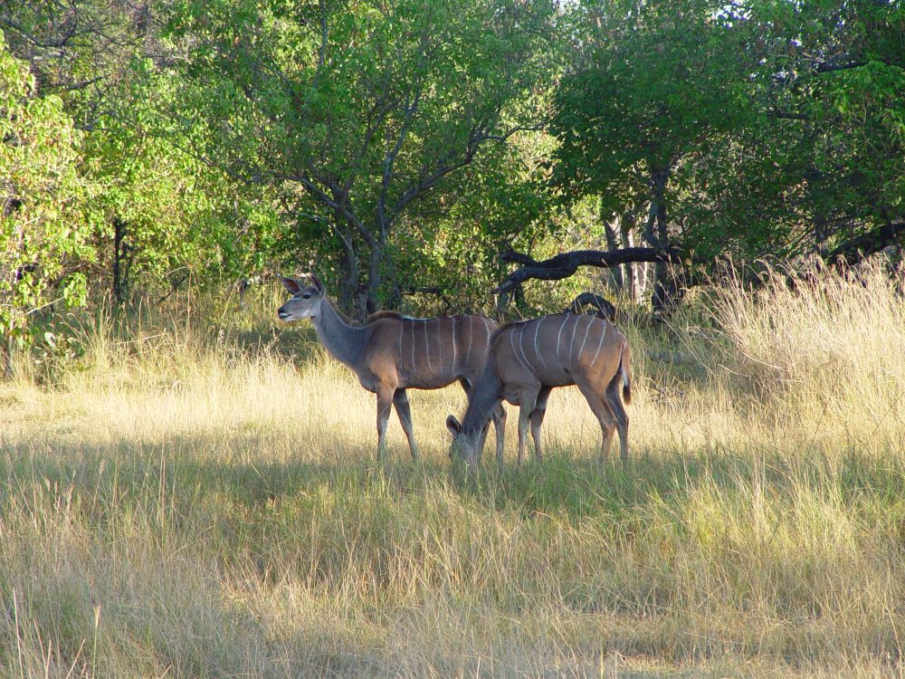
… kudus,…
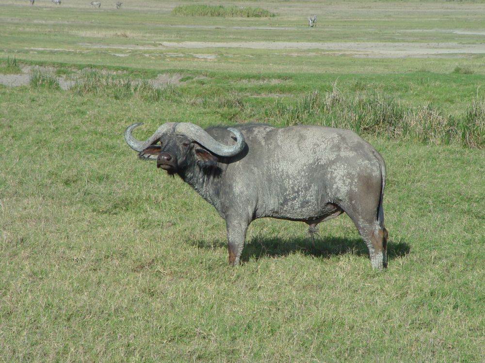
… buffaloes,…

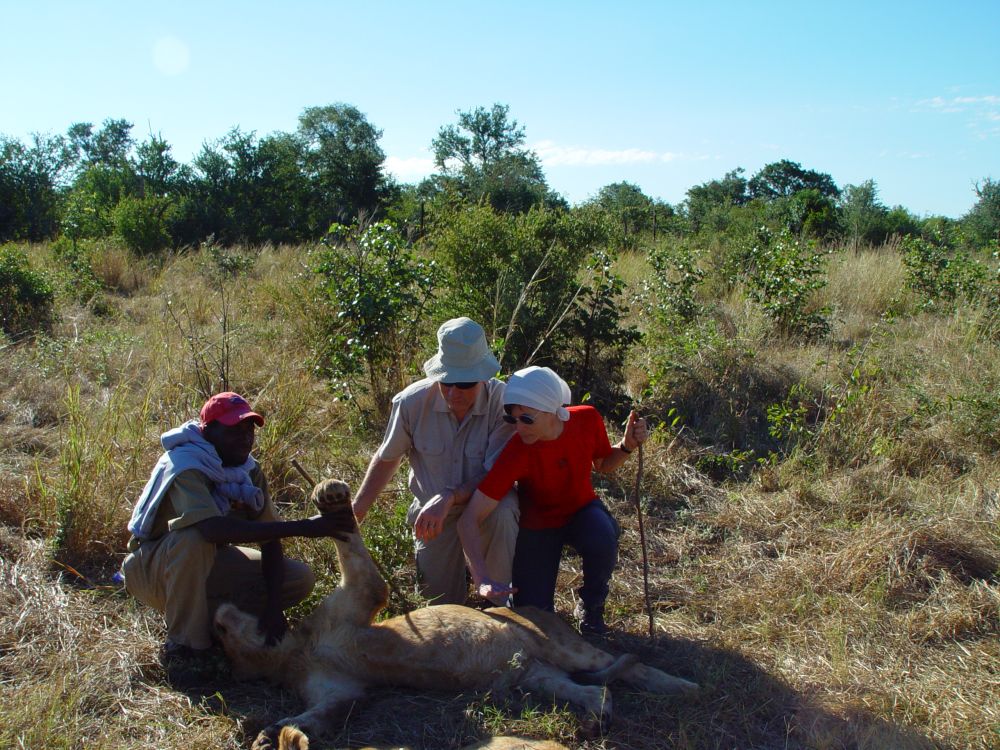
… a female lion with the prey – an impala,…

… a lion yawning,…
… female lions with their offspring,…
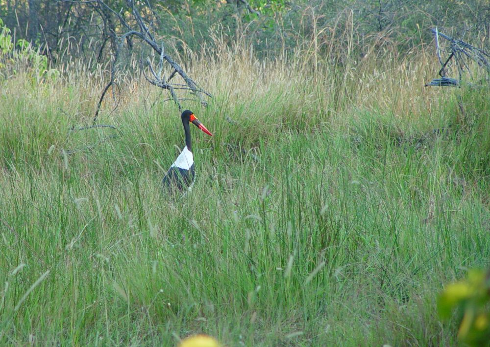
… a proud black stork,…
… vivid baboons,…
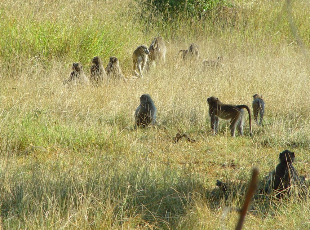
… and many, many more animals… another marvellous experience.
Our Lonely Planet mentions that a tame hippo, Pavarotti, likes to rest in the garden of the lodge. I can see no tame hippo. I am told that Pavarotti with its crooked tooth was indeed the pet of the lodge. One day, it did not turn up. The lodge team set out to search Pavarotti and found it dead in the lagoon. Some time ago, there was also a tame crocodile, the personnel tells me. Its name was Alison. It picked up a red towel in the laundry and then laid down near the pool. Very peculiar.
After two days, we take the plane to Maun.
From Maun, we continue to Windhoek, where our Namibia adventure starts.
We keep wonderful memories from our fly-in safari in Botswana. Ernst had always wanted to return to Botswana… may be I will do that one day with Ernst in my heart, once we will be able to travel again.
Some background information about Botswana: A long tradition and thoughtful presidents give stability, as I understand it
Early settlers in Botswana included the San bushmen. In the years 200 to 500 AD, Bantu speaking Tswana tribes arrived. Still today, they are the main ethnos in Botswana, basing themselves on three Tswana tribes of the 14th century that three sons inherited from their father. A long tradition of 600 years.
In the 19th century, the Tswana tribes were under pressure from outside; under the charismatic king Segkoma I in 1840, they joined forces in a federation. Also the next leaders were charismatic such as Khana I in 1875 who modernized his country, supported the San people and introduced laws to protect fauna and flora.
At the end of the 19th century, the Boers had to migrate north for having been pushed out of southern Africa by the English. The Boers put pressure on Botswana. England accepted Botswana as a protectorate. The English intended to integrate Botswana with Rhodesia, but Khana II resisted. Botswana remained under English protectorate and did not become part of Rhodesia.
In 1966, Khama lead Botswana into independence from England. He was one of the tribe chieftains and was president until 1980. Also the president Festus Mogae (until 2008) was one of the chieftains. “My” Lonely Planet points out that the presidents reigned thoughtfully, without enriching themselves, and Festus Mogae could even be seen doing his own shopping in the local Spar shop. In 2008, the son of Khama followed, and in 2018 Mokgweetsi Masisi became president. All presidents belong to the Botswana Democratic Party that has the absolute majority. Botswana presents a successful mixture of democracy and thoughtful tribe policy, I believe.
When Botswana became independent, it was a country with few natural resources. A year later, in 1967, three diamond mines were detected. The profits allowed to improve the education system and the infrastructure of the country. Export of diamonds is still important today, as more diamond mines were found later. When reviewing my material and the latest information in the Internet, I find a sad piece of information. Because of diamond reserves in the Kalahari, the San people were relocated. They fought for the right to return, which was approved by the appeal court in 2011, but the San can still not return to their land. This is what I found on survivalinternational.de. and also in the NZZ from the 23.11.2018 (Neue Zürcher Zeitung). Very sad. I hope that Botswana finally will reinstall the rights of the San people and continue on the tracks that charismatic and thoughtful leaders, such as Khana and Khama, layed for the country and for the sustainable tourism in the 1960-ies.
Sources: Paula Hardy et alii, “Botswana & Namibia”, Lonely Planet 2007; Daniela Schetar et alii, “Namibia”, (update until today: Wikipedia); Reise Know-How, Markgröningen 2007; Duncan Butchart, “Wildlife of the Okavango, Struik Nature 2000; my own travel report, “Südwestafrika – Zimbabwe, Botswana, Namibia”.
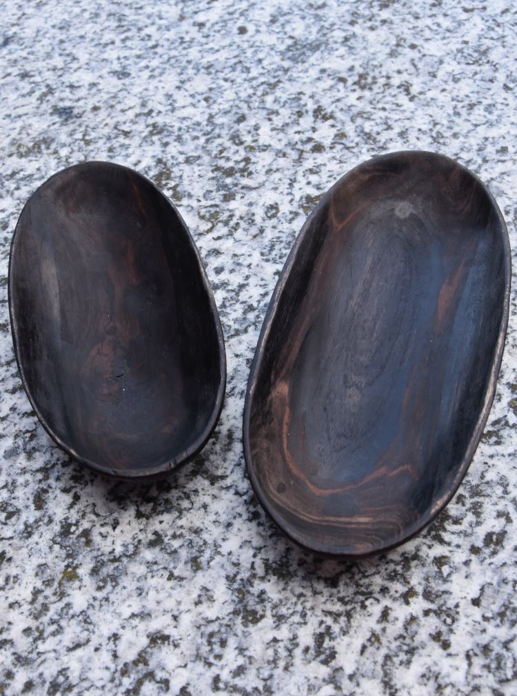
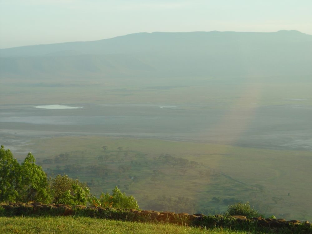
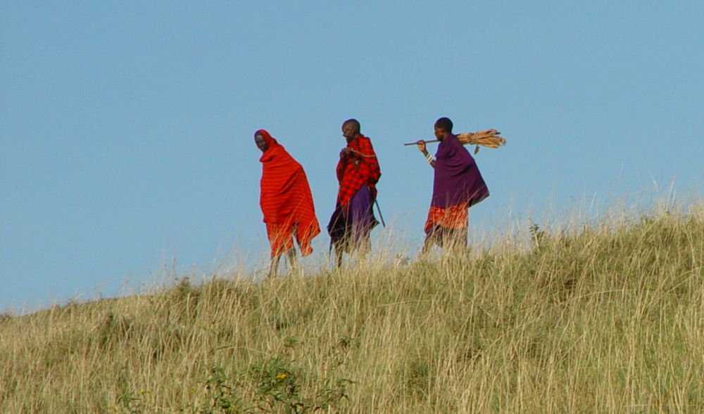
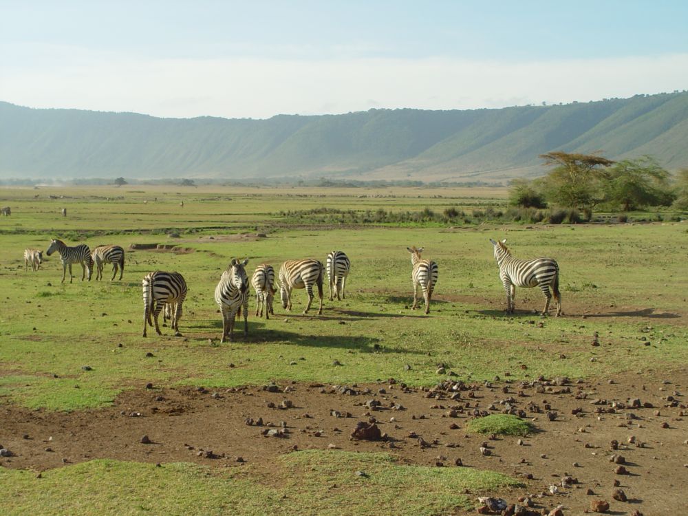
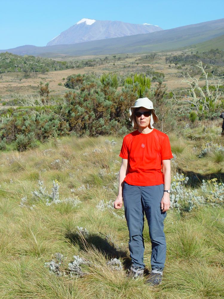
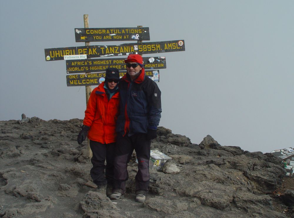
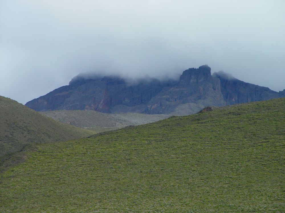
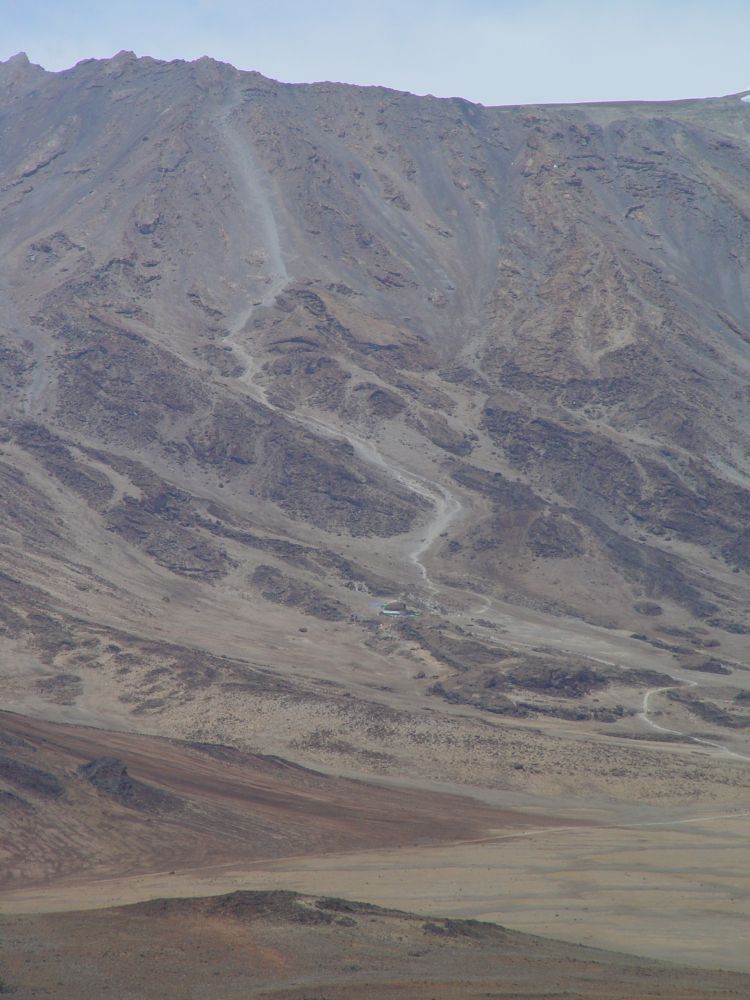
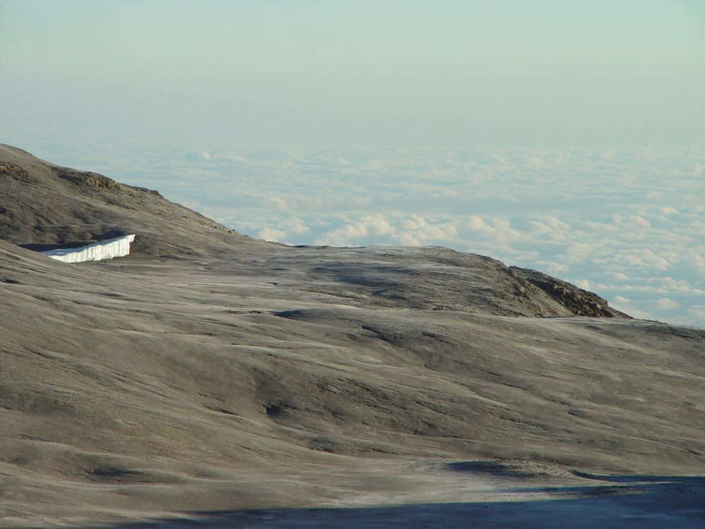
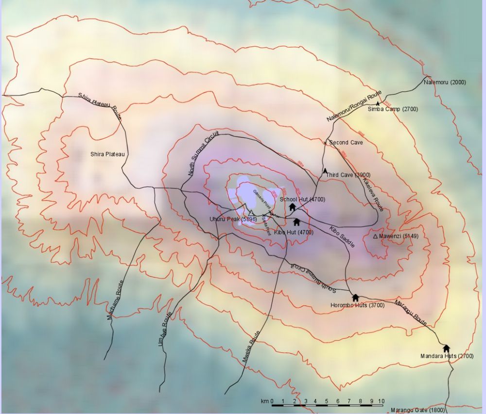
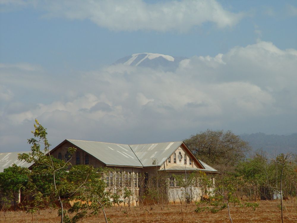
Former blogs about stories that my home tells me: The Schefflera plant that reminds me of having climbed the Kilimanjaro with Ernst and the ebony wood bowls that remind me of the safaris in Tanzania,