Discovering treasures, while being forced to just walk around Basel
From April to August, I walked and walked discovering and rediscovering gems around Basel. Here is the second selection of gems in the southeast, on the Gempen and the Wartenberg.
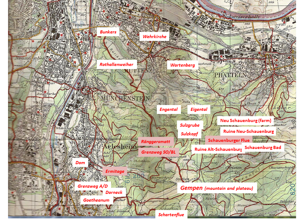
This is the map showing the hill of Wartenberg (between Muttenz and Pratteln) and the long stretched mountain plateau of the Gempen.
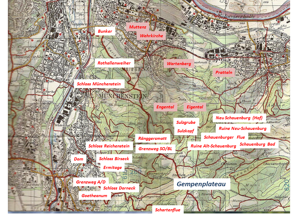
Source: Bundesamt für Landestopographie 213T – Basel
.
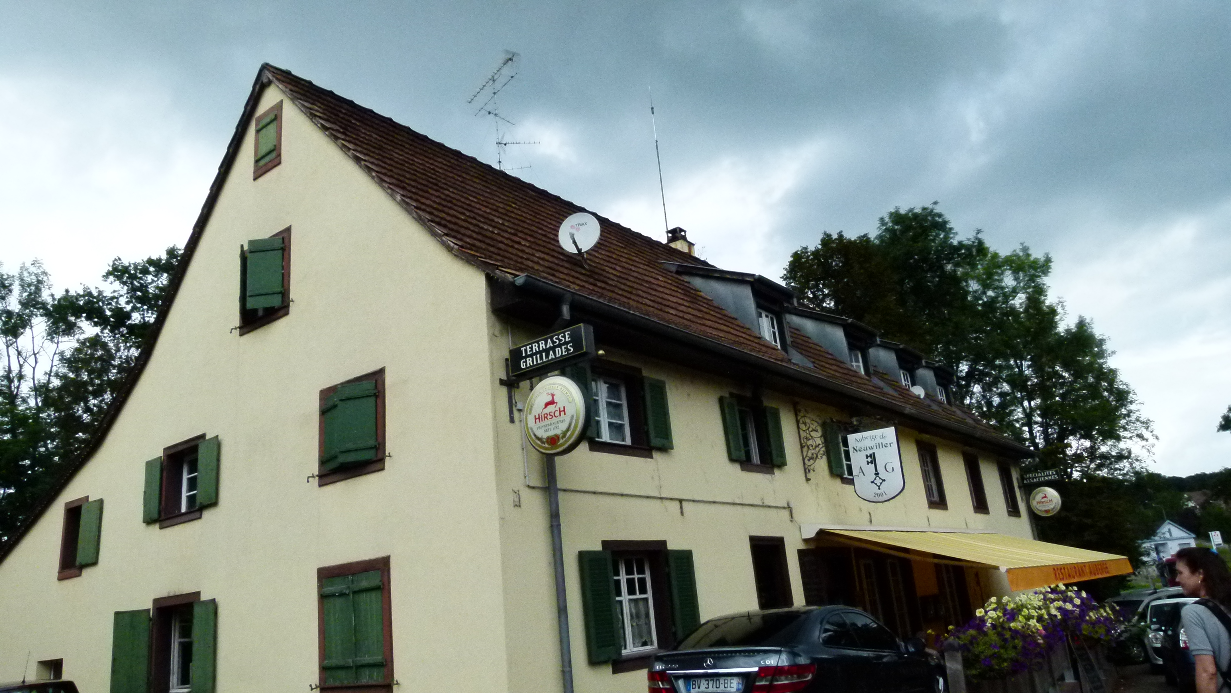
Gorgeous town centers of Muttenz and Pratteln
Both Muttenz and Pratteln have taken care of their romantic village centers with the fortified churches. Below is the fortified church of Muttenz.
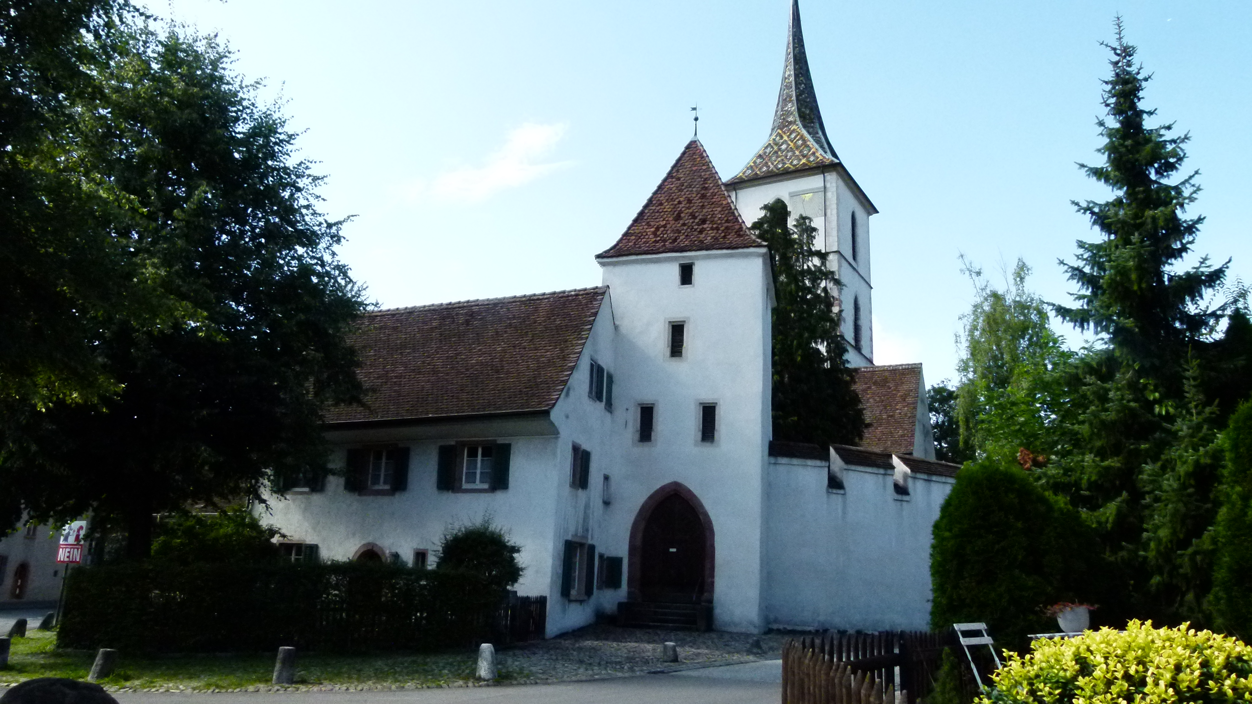
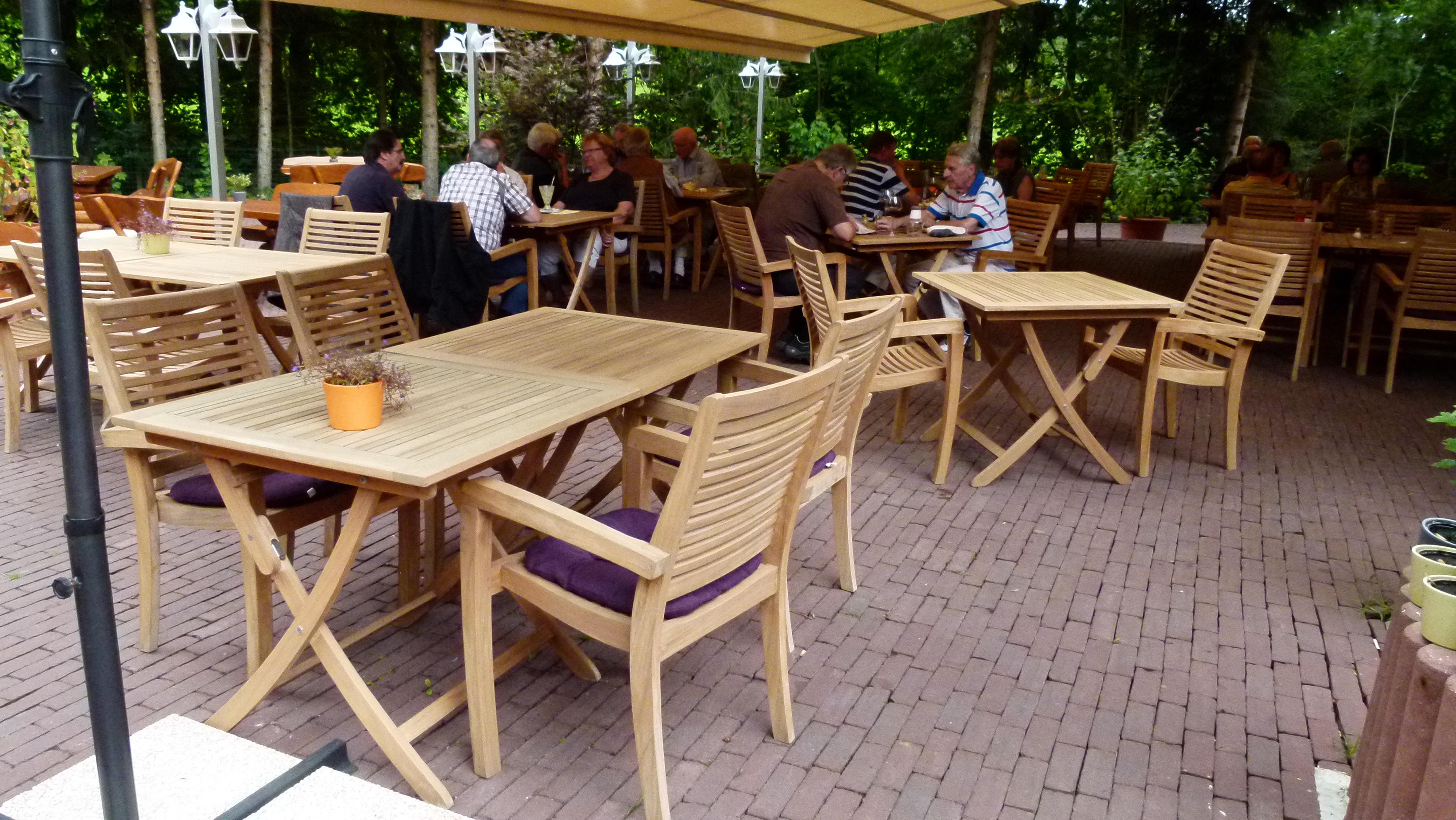
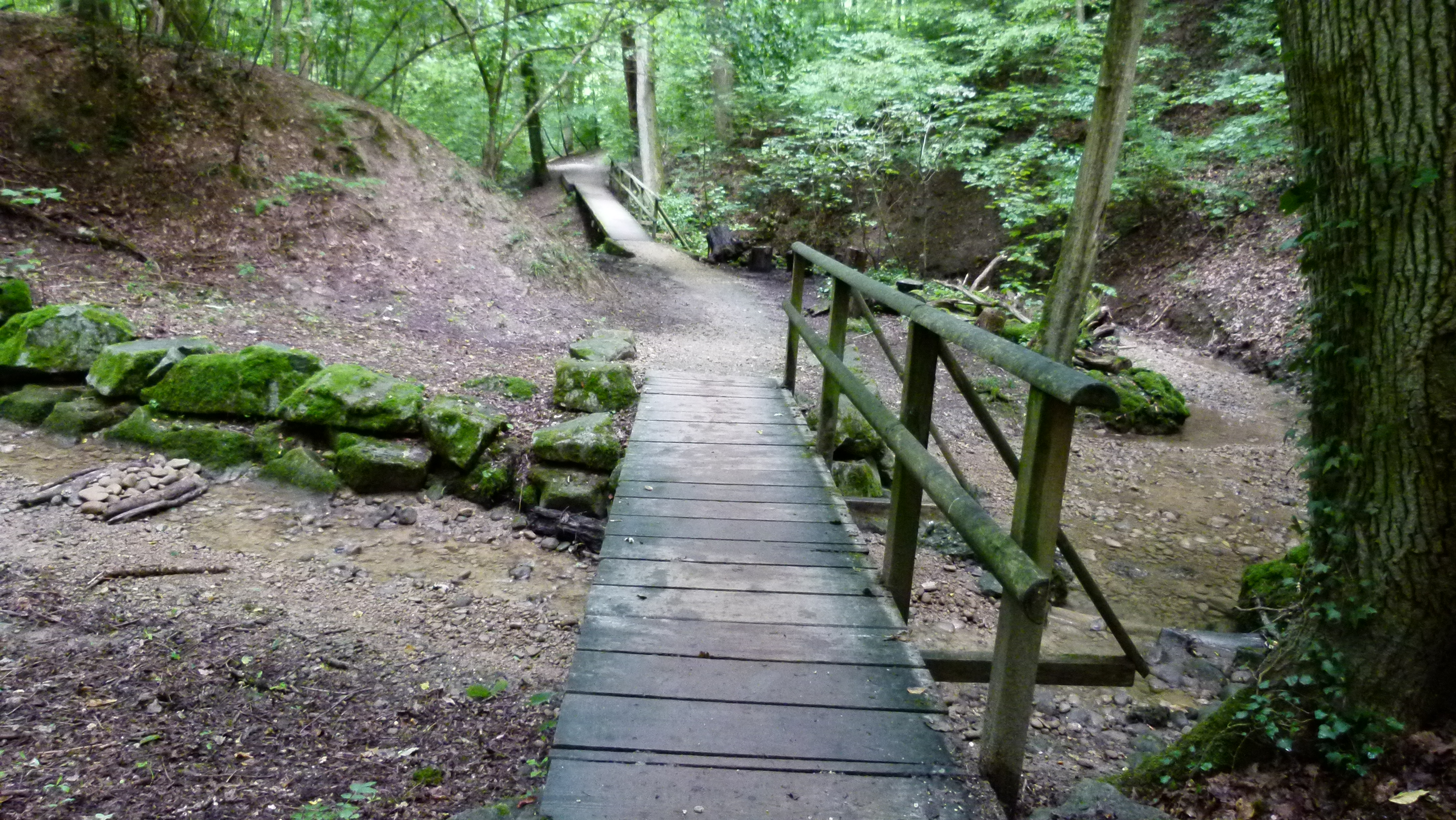
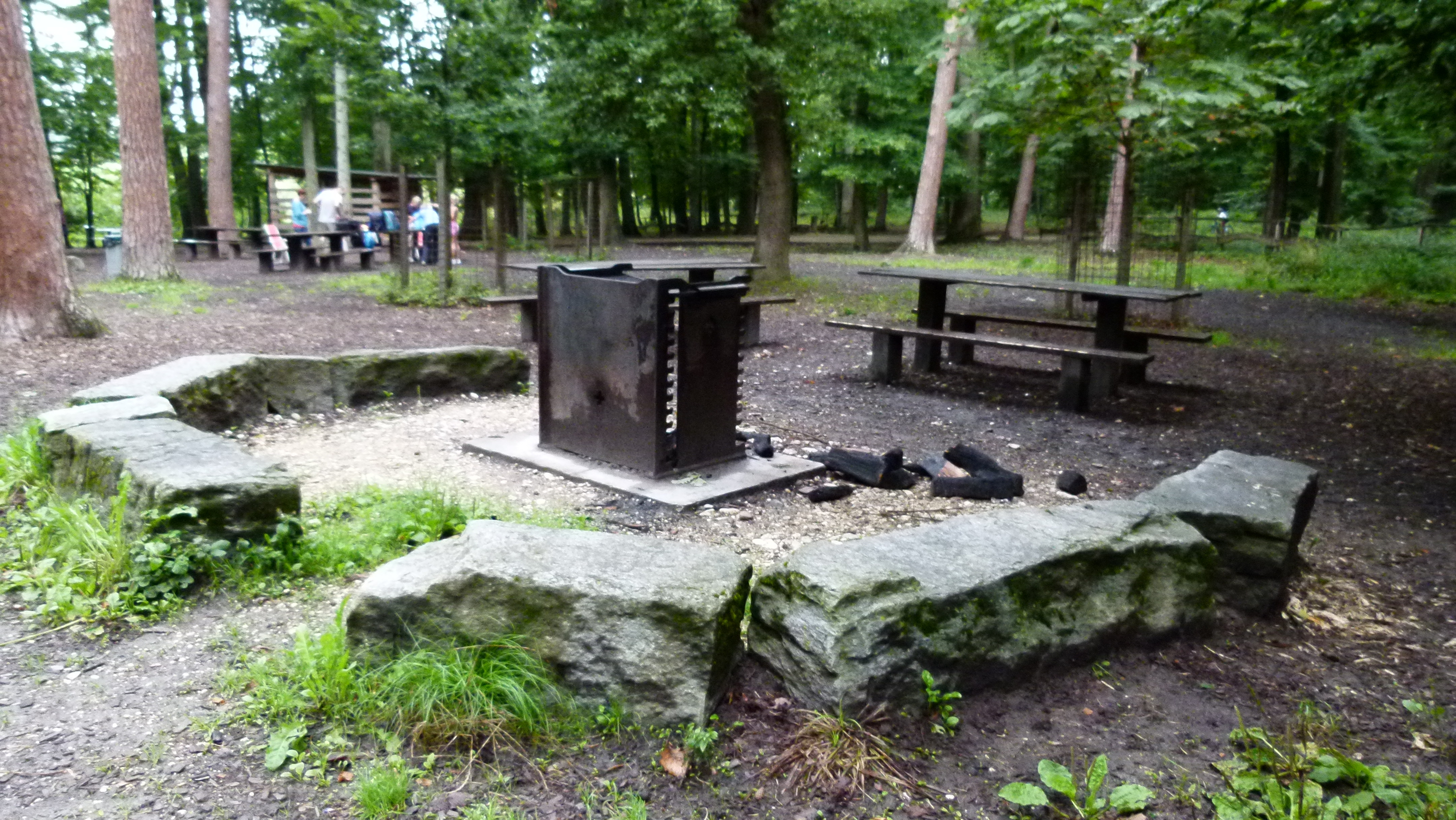
Both Muttenz and Pratteln boast of nice small restaurants that are great target points for our Nordic Walking group guided by my friends from Austria.
.
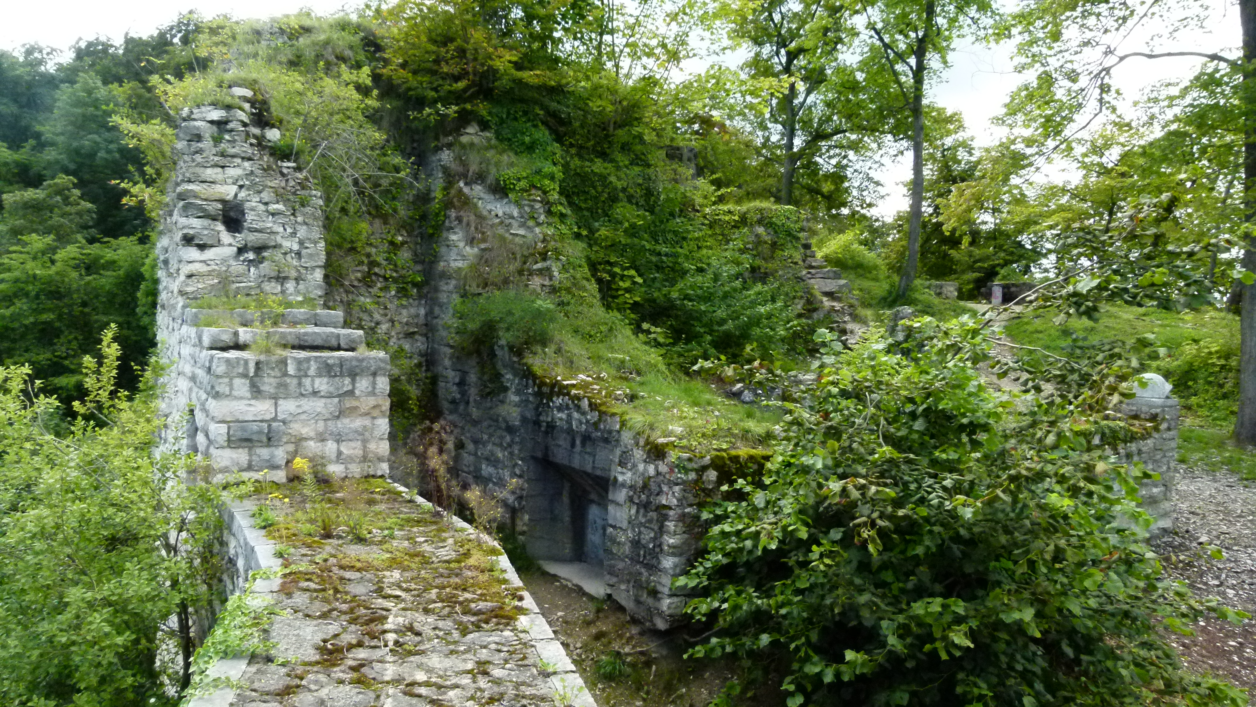
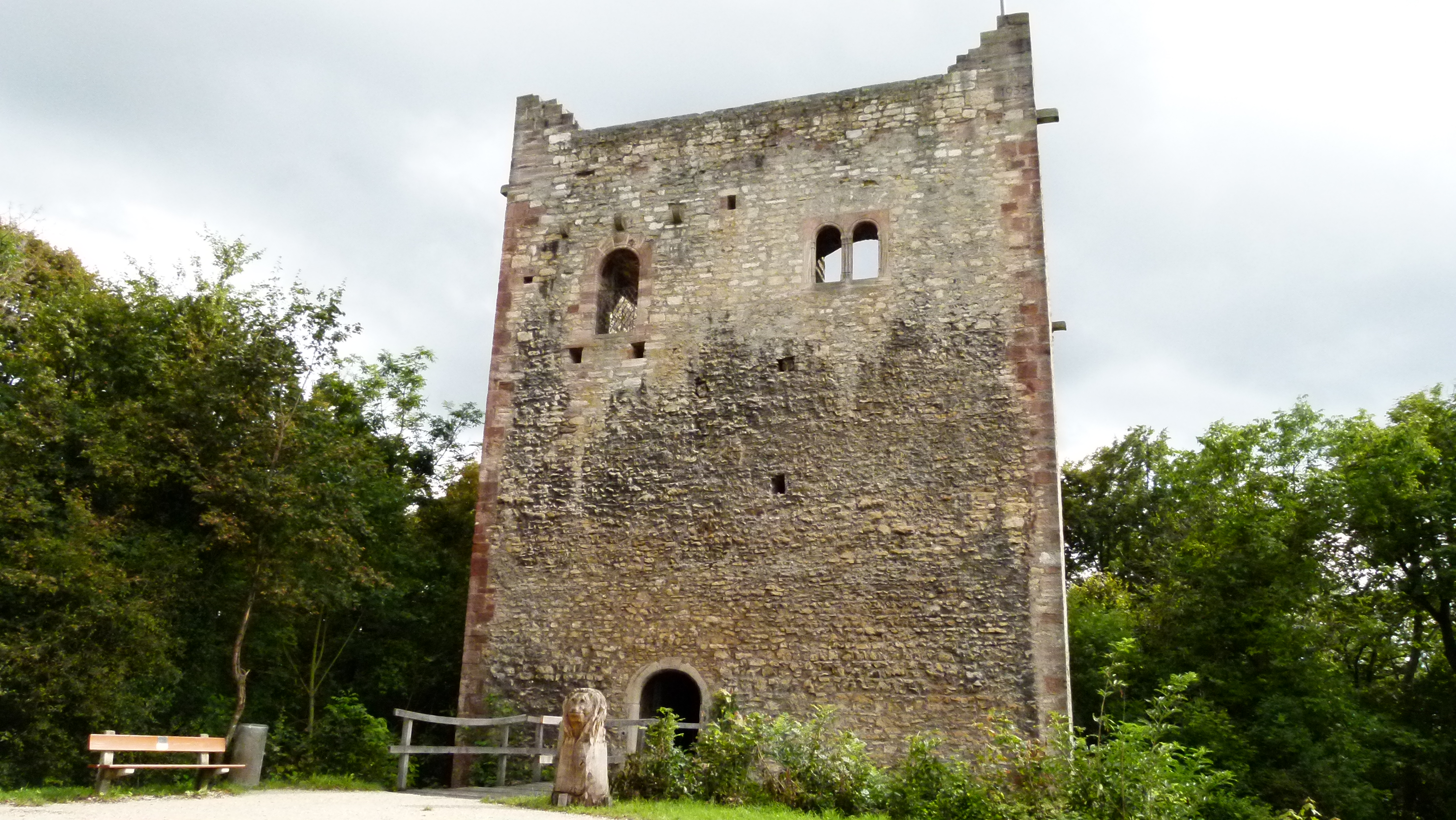
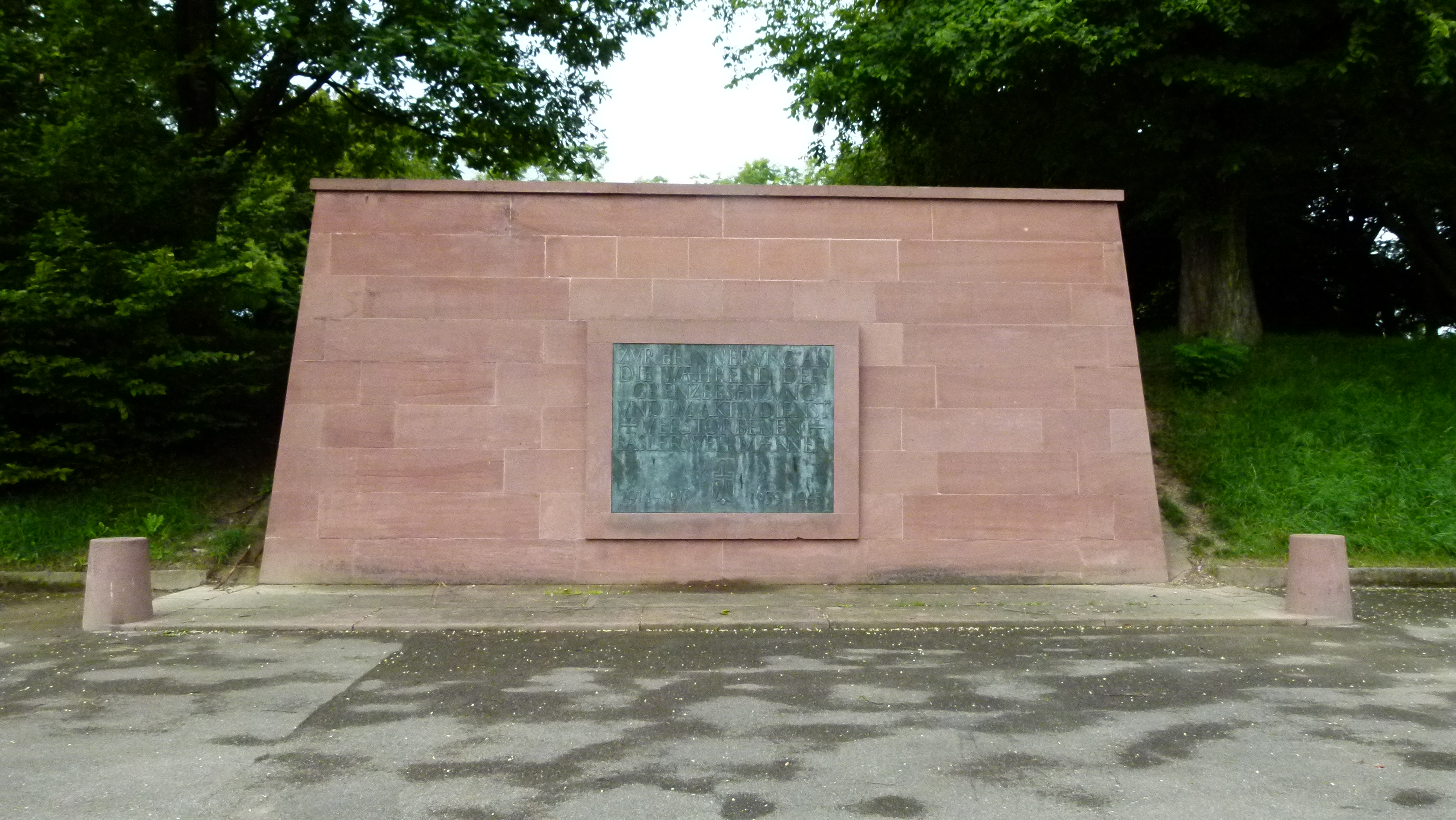
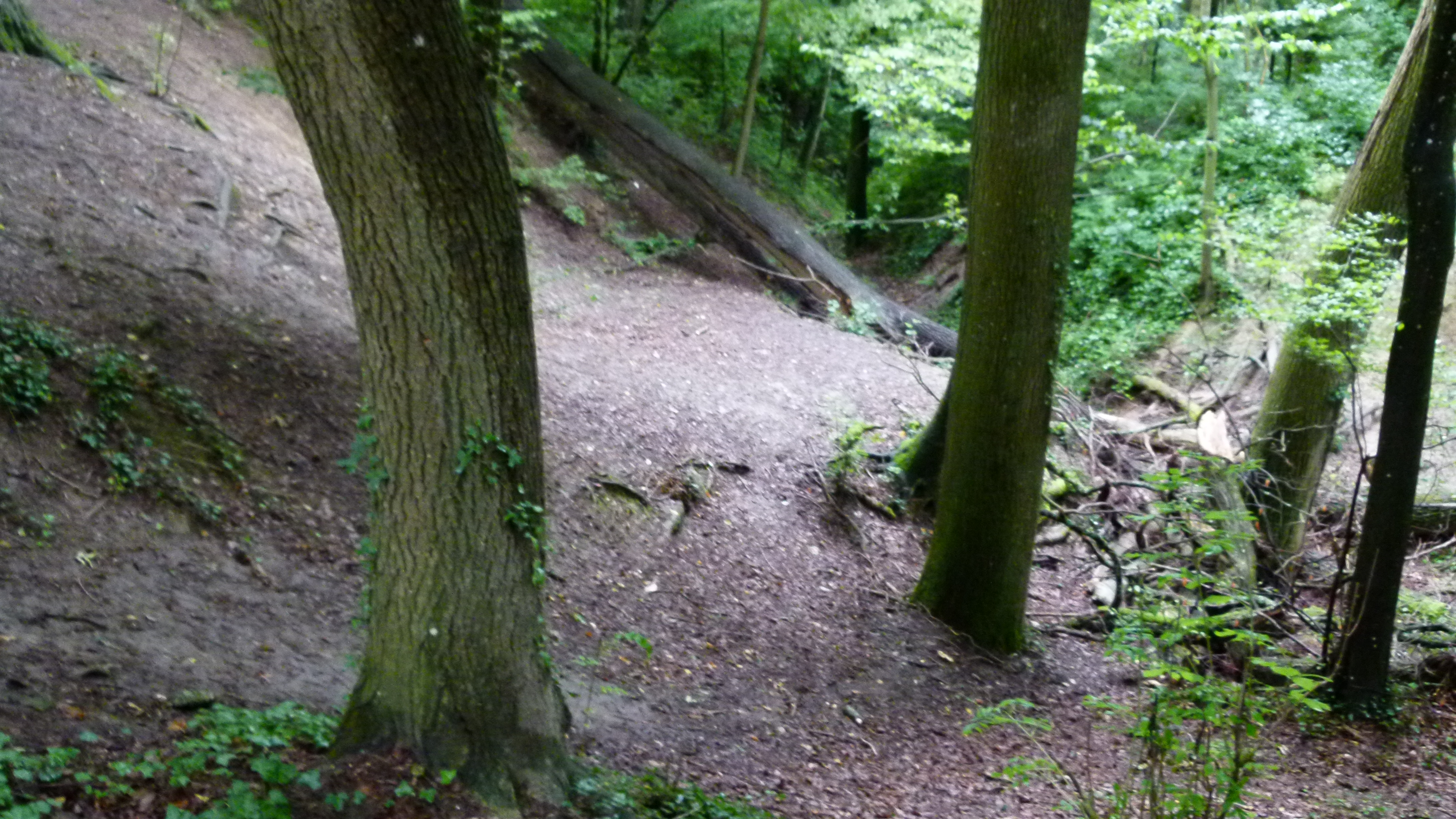
Just half an hour and 200m above Muttenz: The Wartenberg with three fortifications
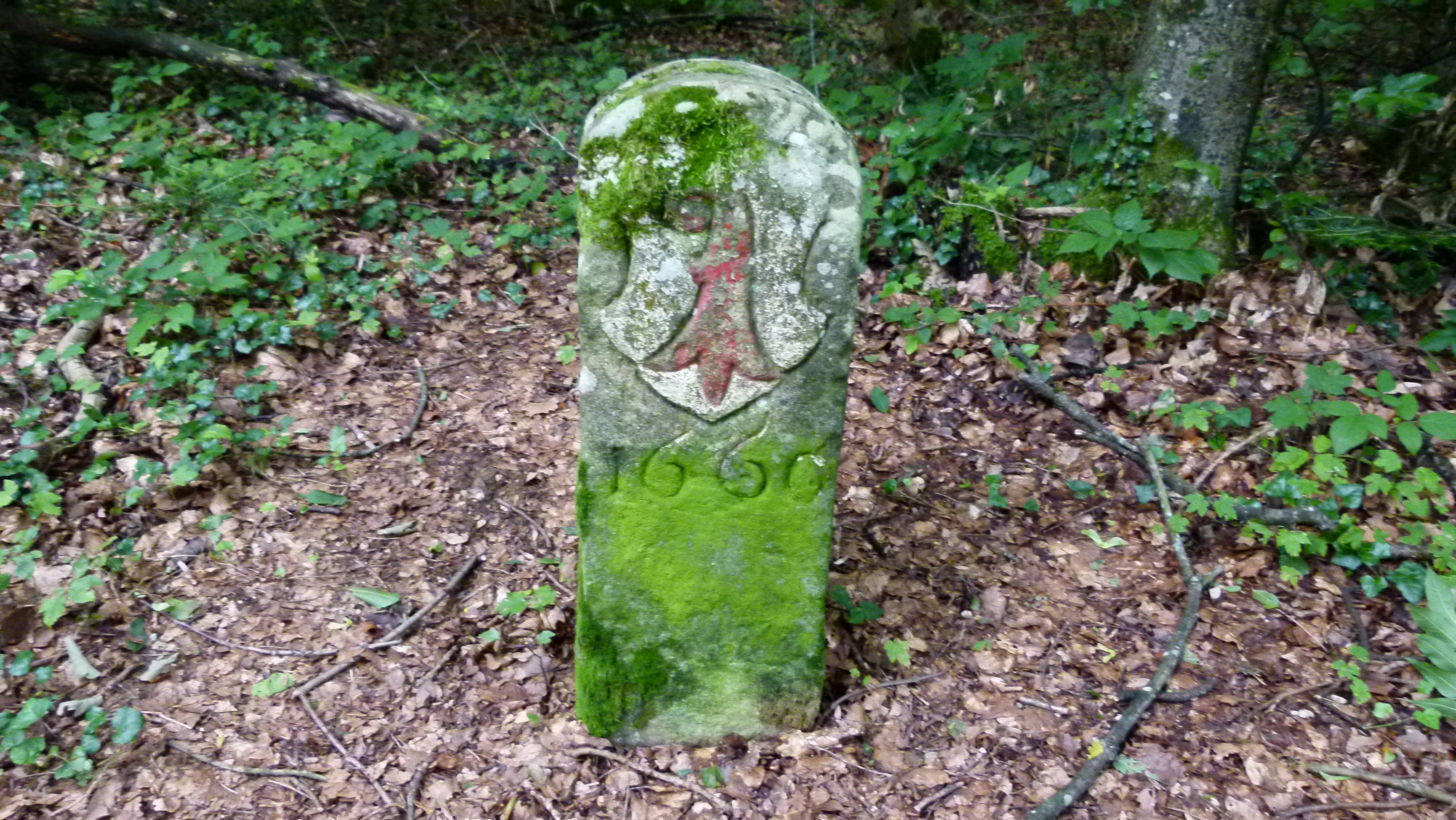
On the Wartenberg – 200 meters above the village – there are three castles that watch over Muttenz. The three castles can also be found on the emblem of the community. Until 1300 Muttenz and the castles belonged to the canonry of Strassburg, then changed owners several times, until they were acquired by Basel in the 16th century.
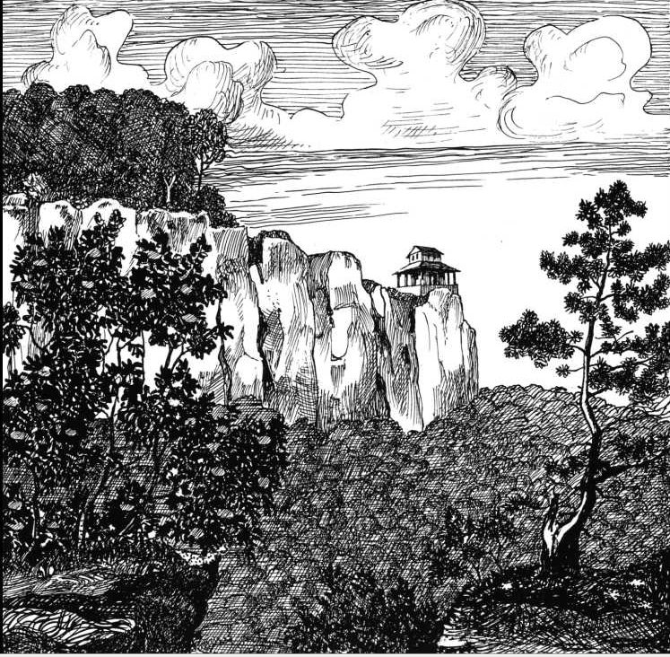
This is the northern or anterior ruin of Wartenberg. It is the largest of the three castles. It is said to be from Carolingian times (around 800 –Wikipedia ).
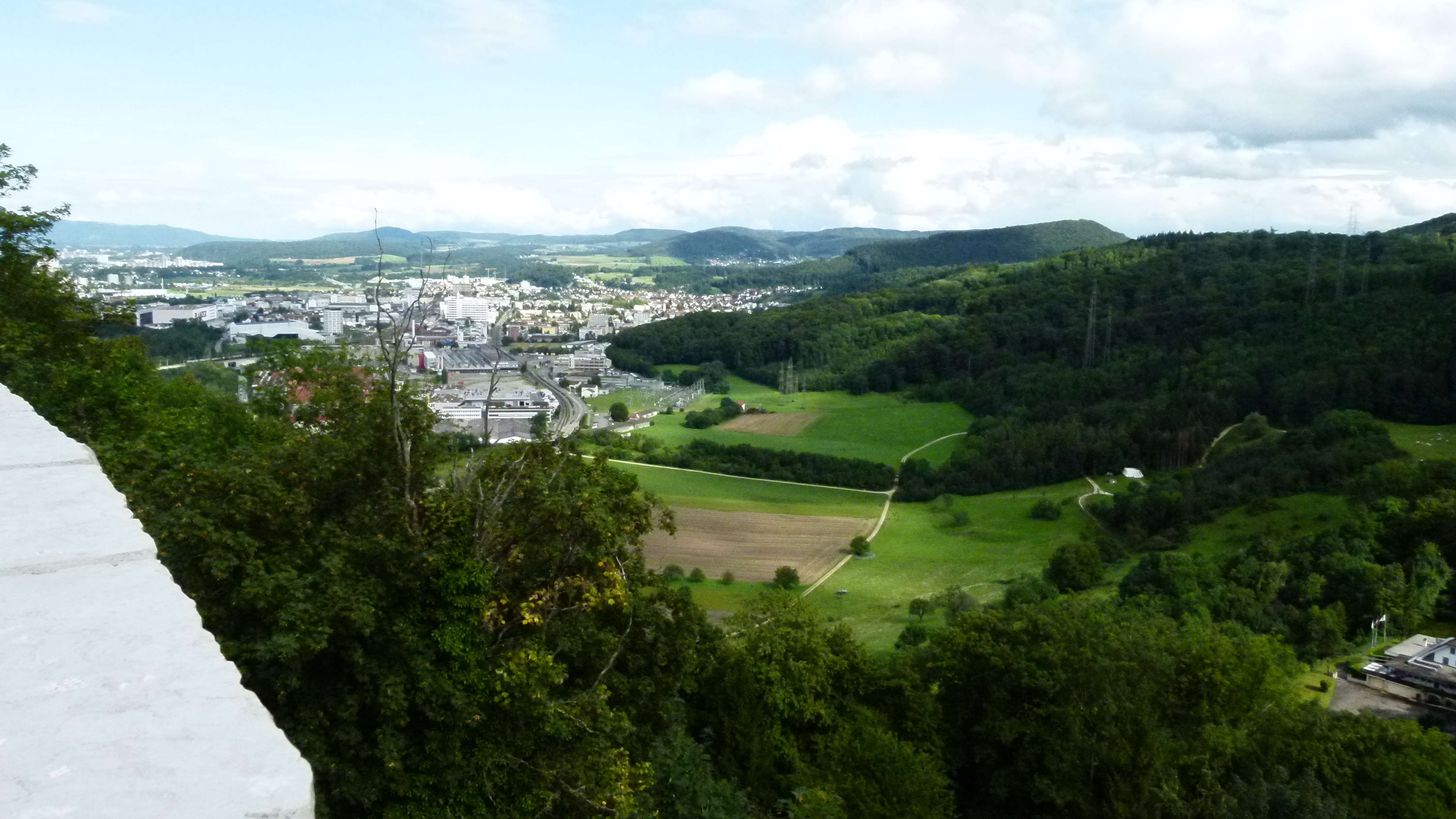
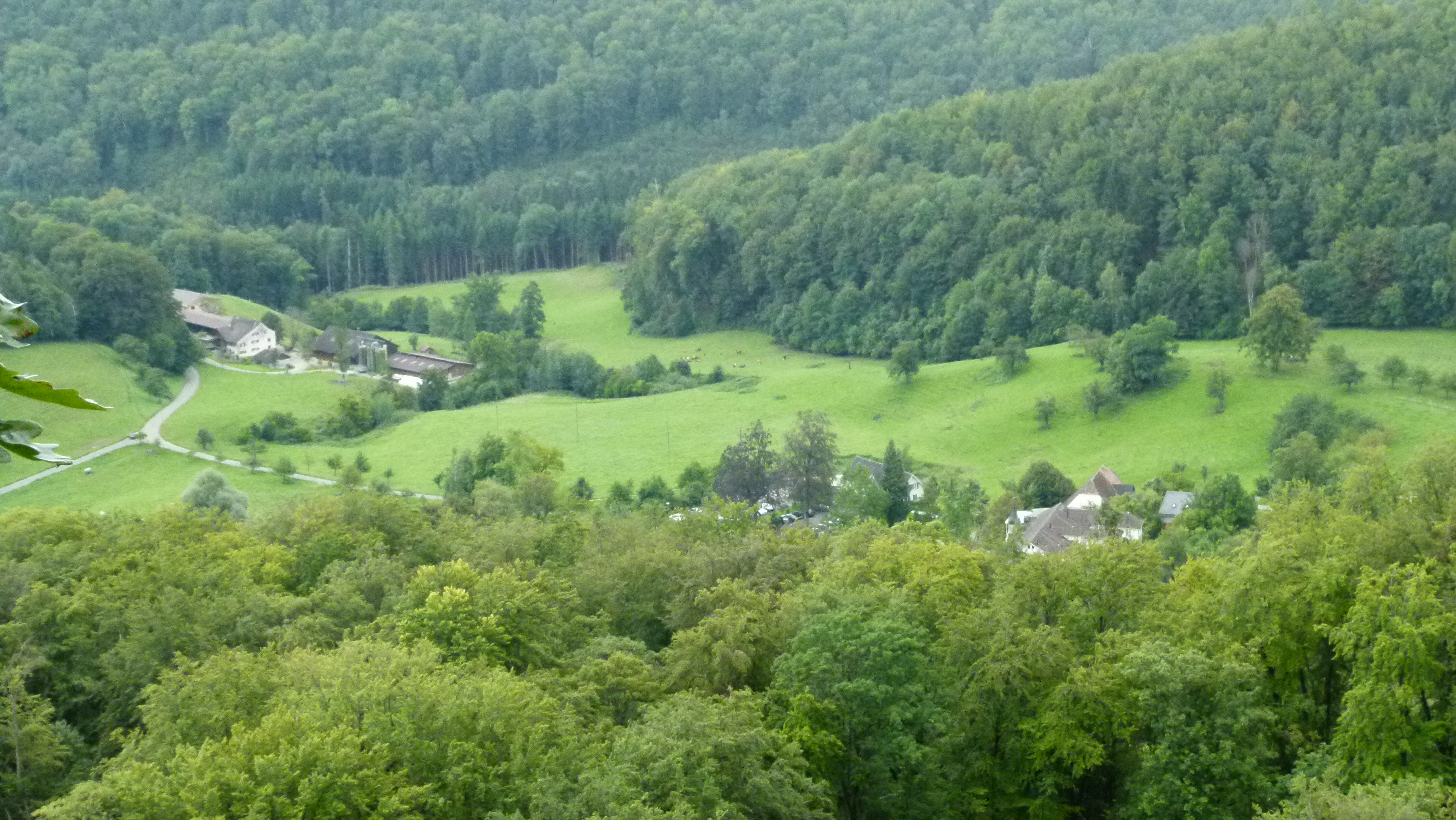
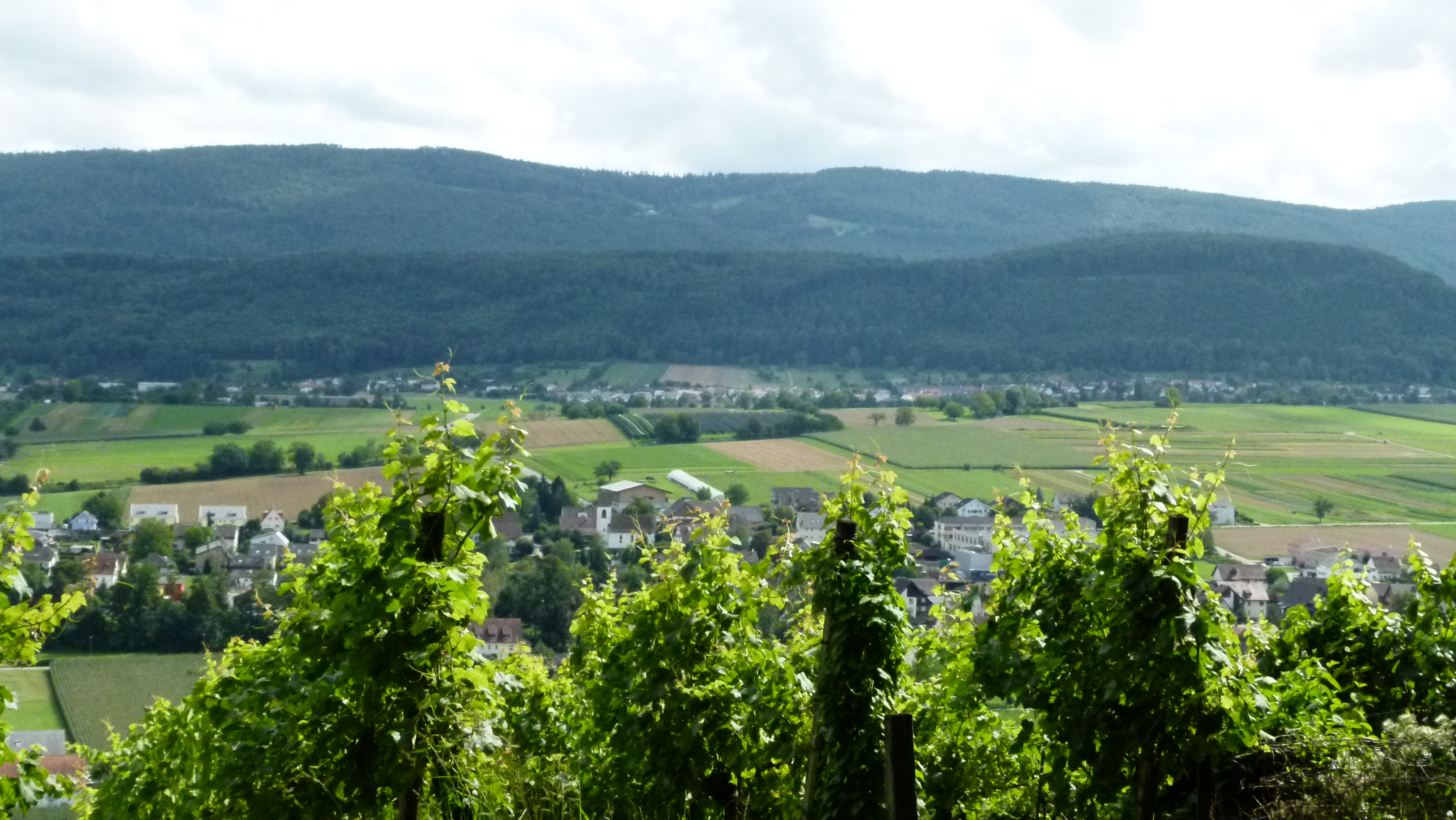
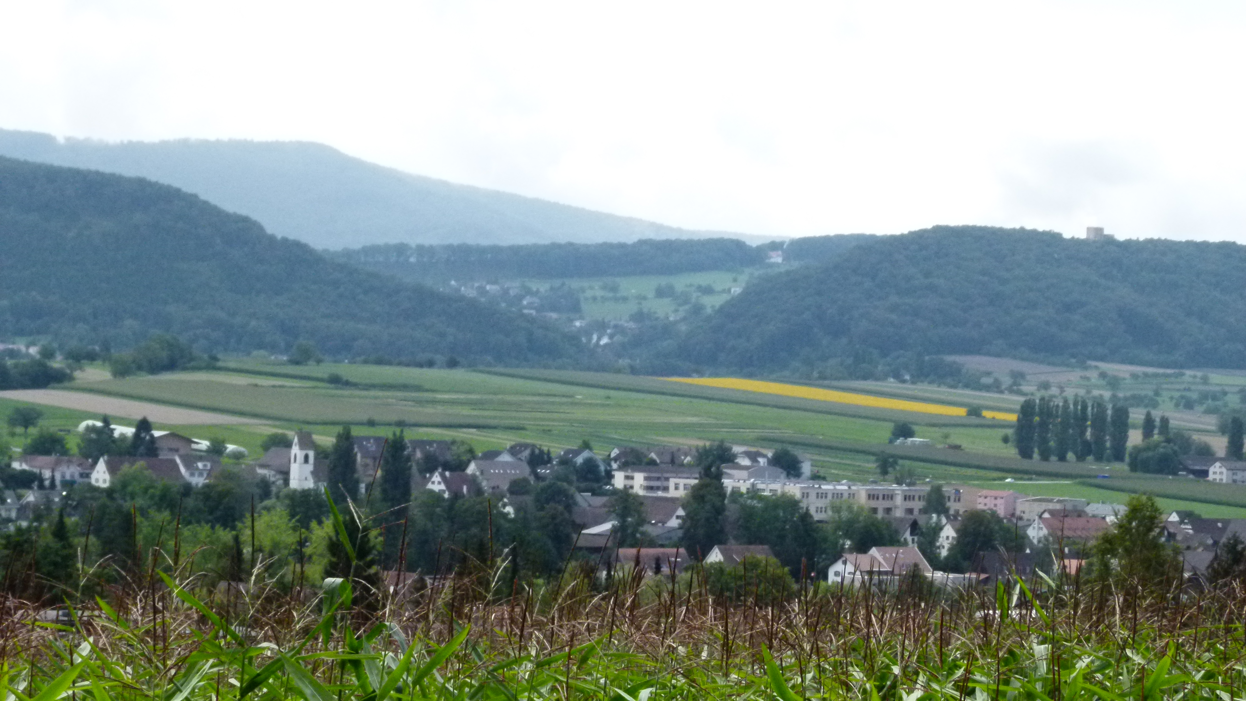
From here I enjoy a great view to the east or High Rhine valley (in German: Hochrhein).
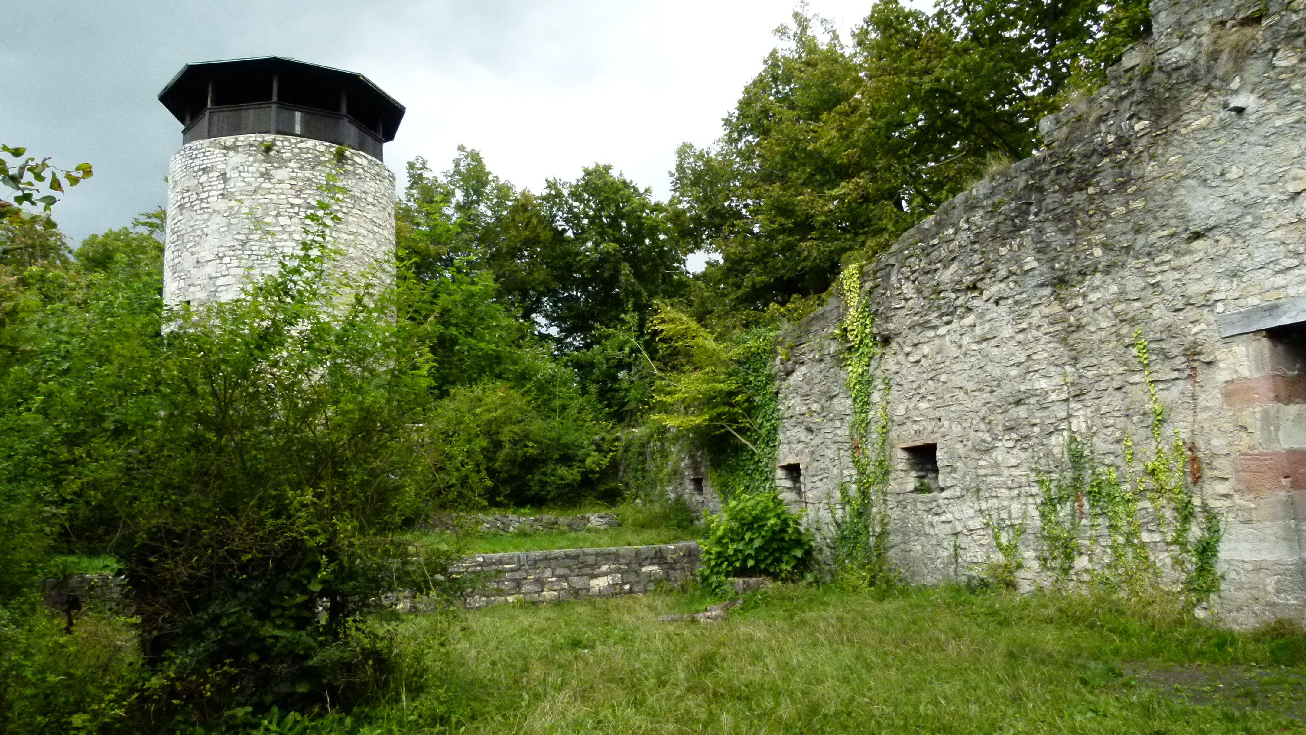
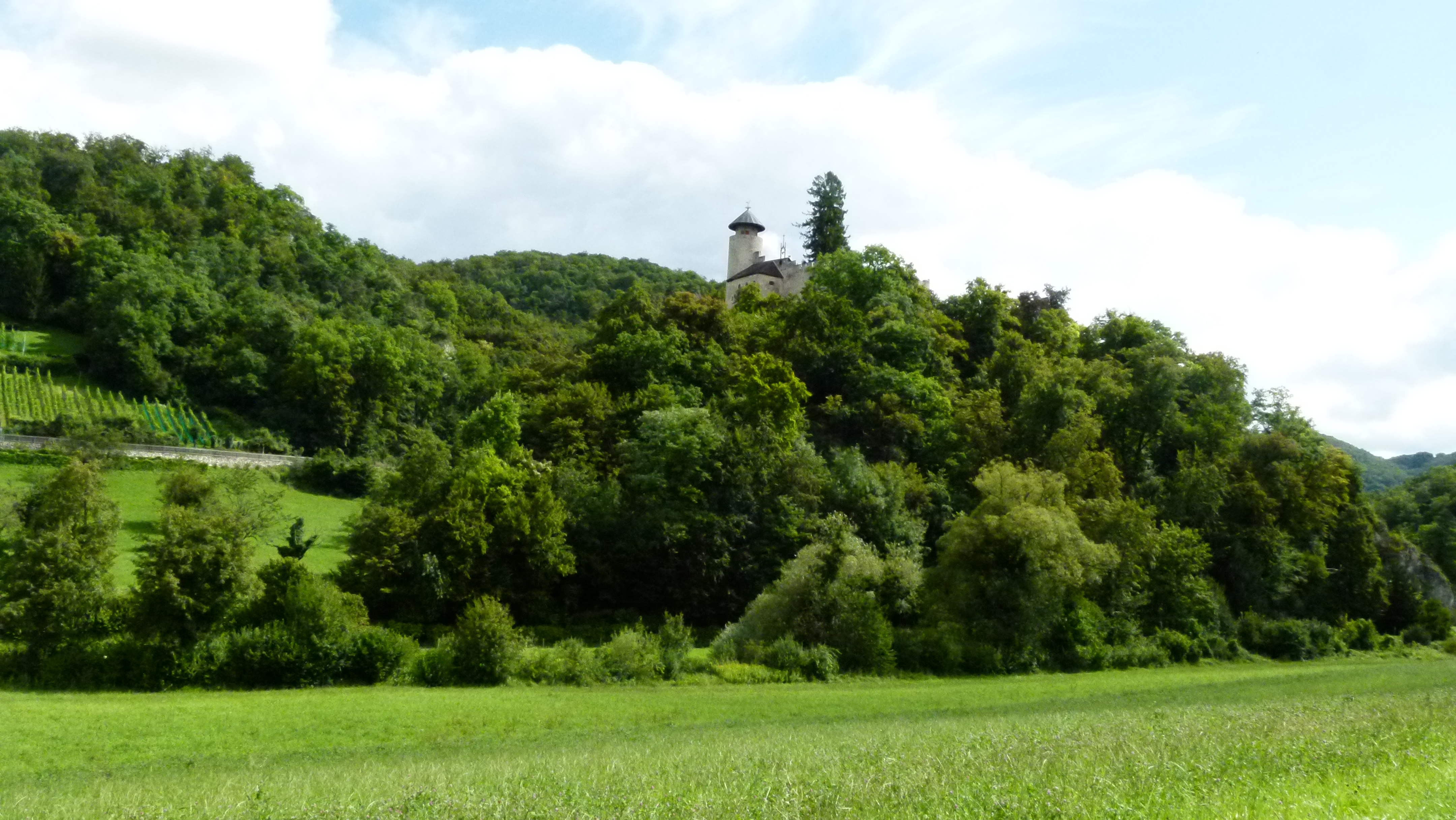
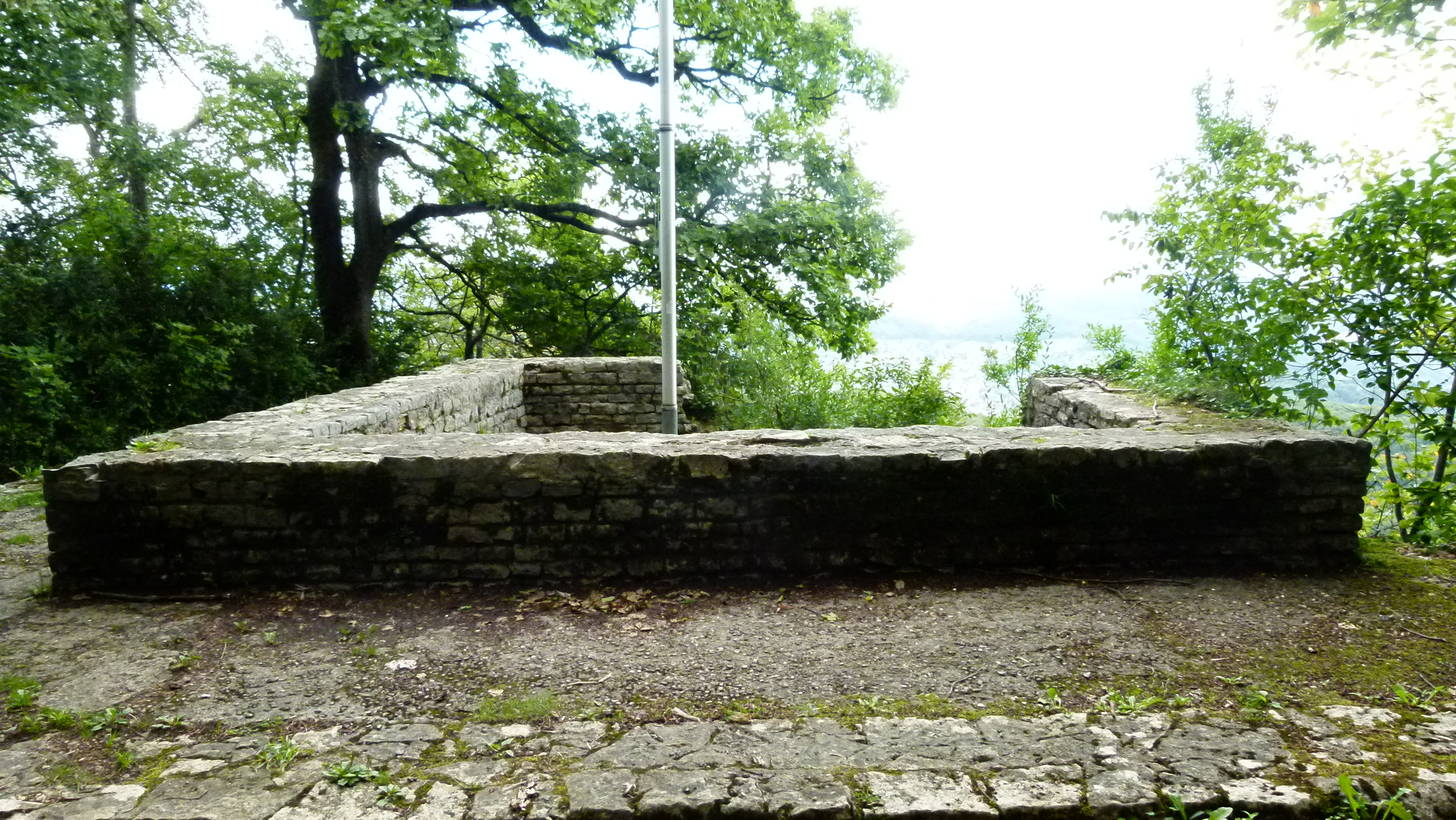
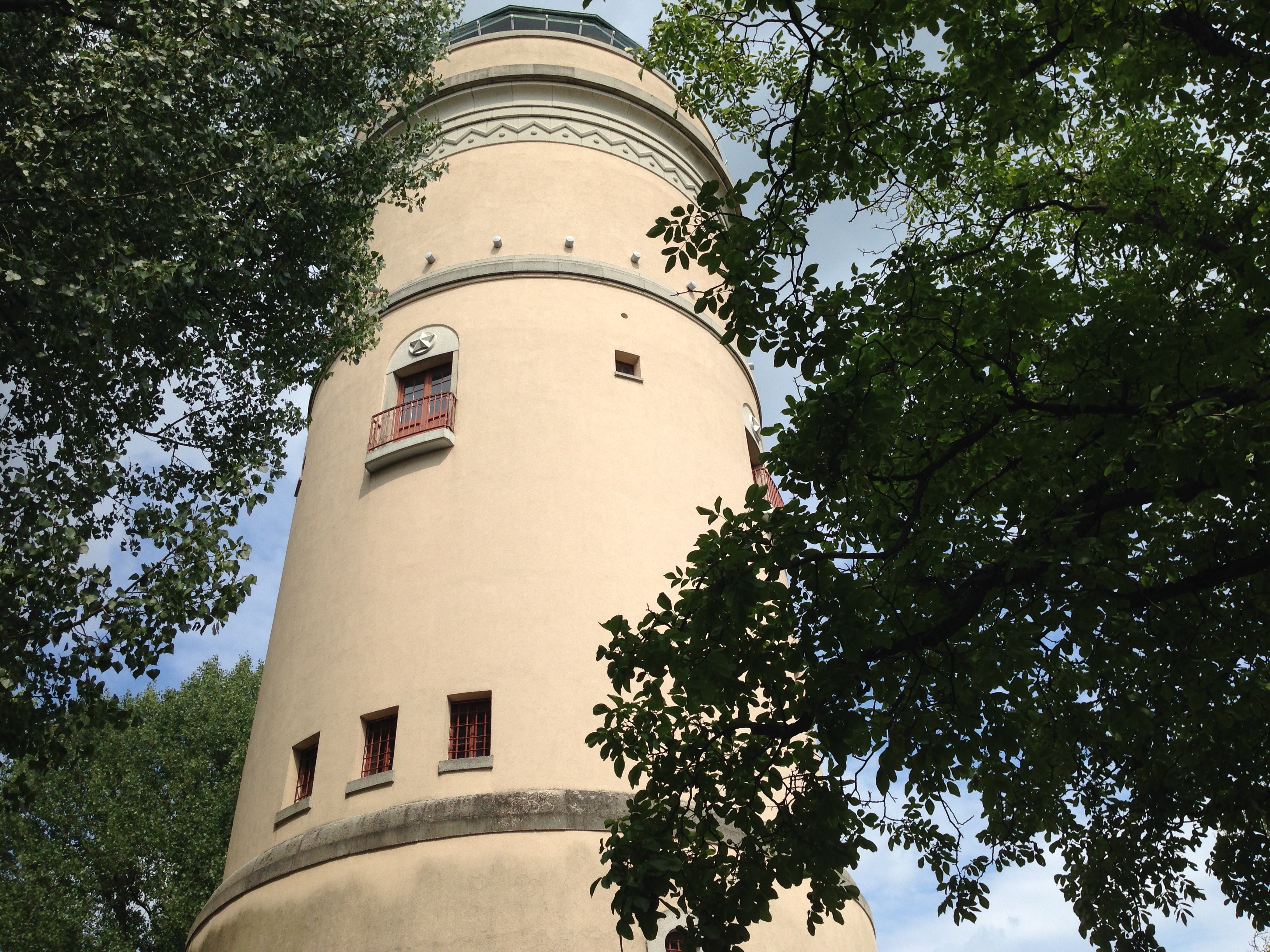
And this is the castle that sits on the highest point in the middle between the two other ruins. The residence tower dates probably from the 12th century.
From here there is a great view of Muttenz and Basel. In the background to the left are the Vosges and to the right the Black Forest.

This is a third fortification farther south, called the posterior ruin. It was probably used as a refugium for the inhabitants of Muttenz.
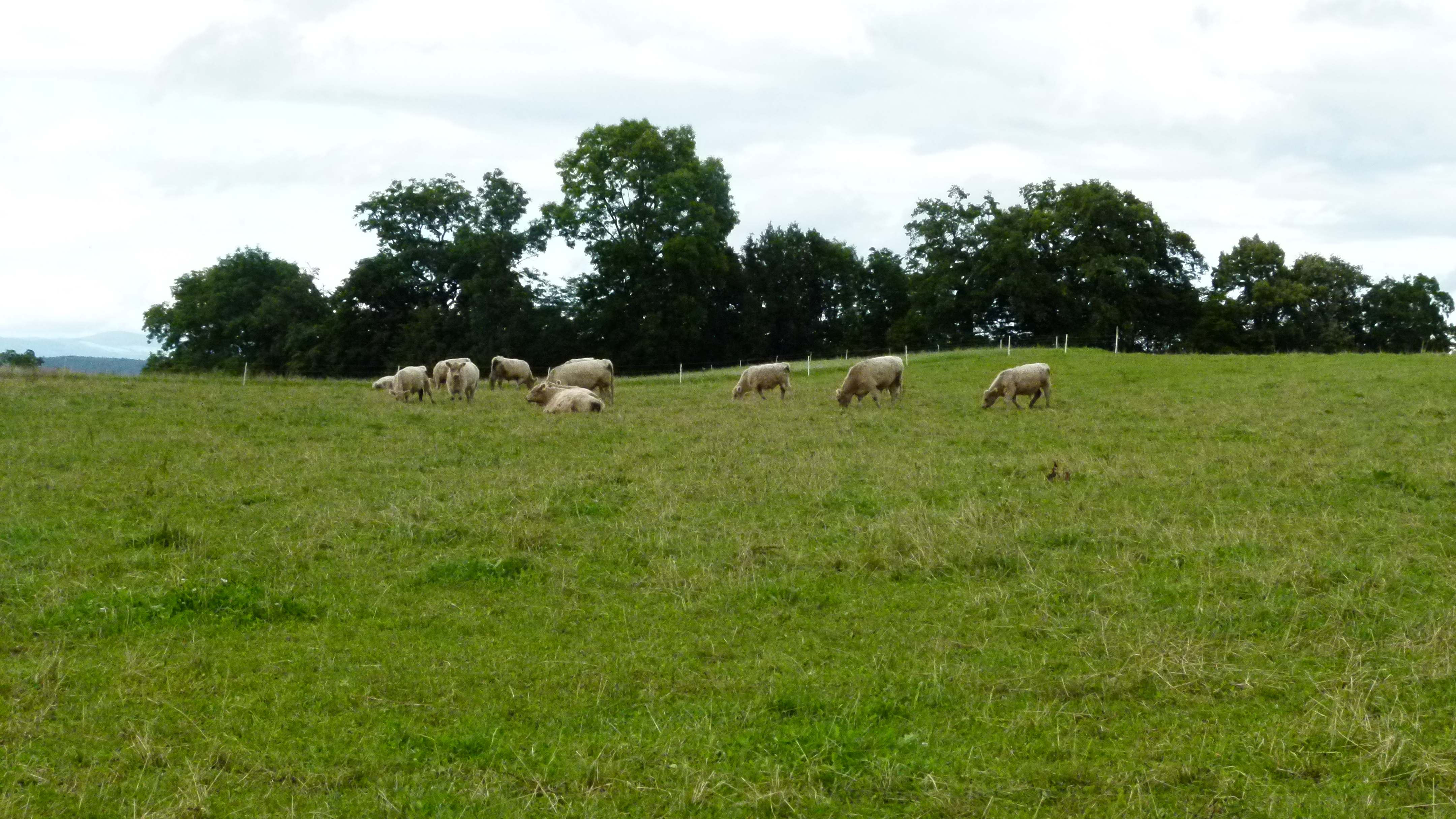
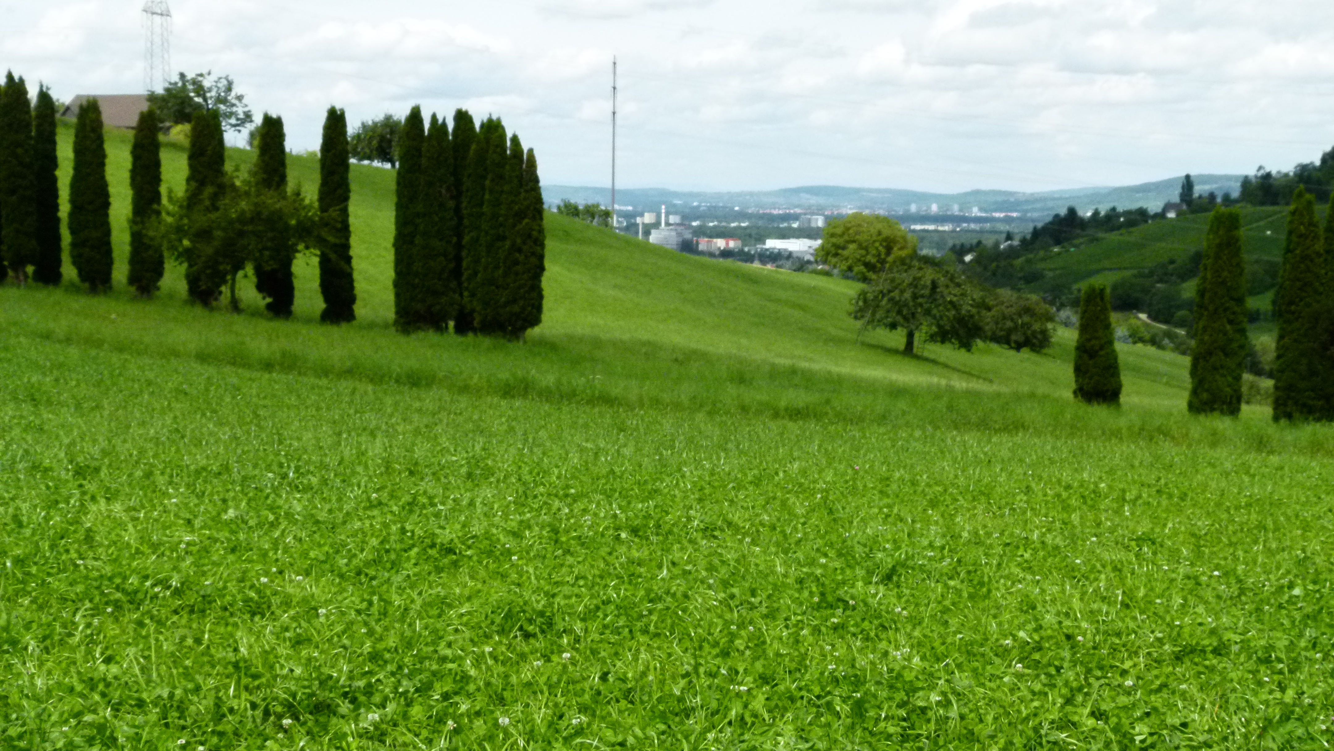
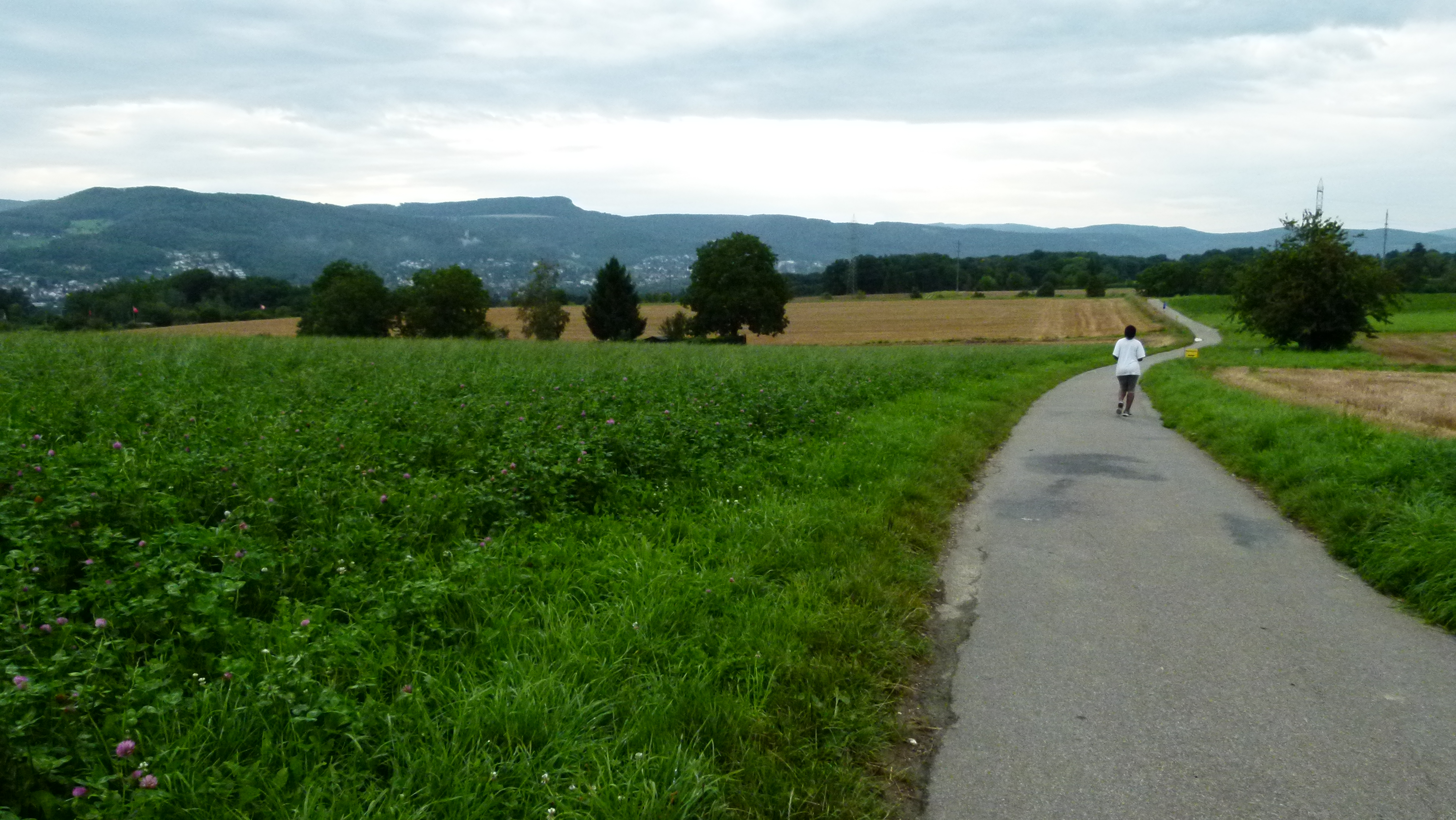
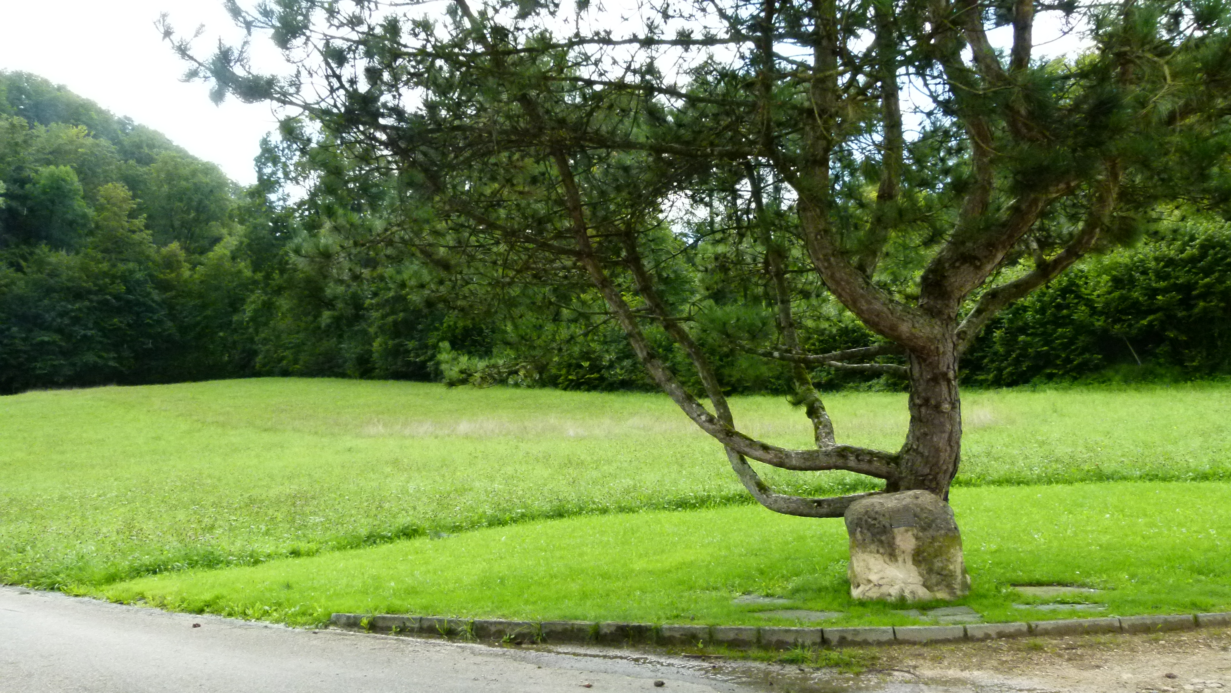
Vast meadows cover the Wartenberg plateau. Gallaway cattle are grazing here. My brother-in-law keeps Gallaway cattle in the Bernese Alps producing excellent bio beef meat.
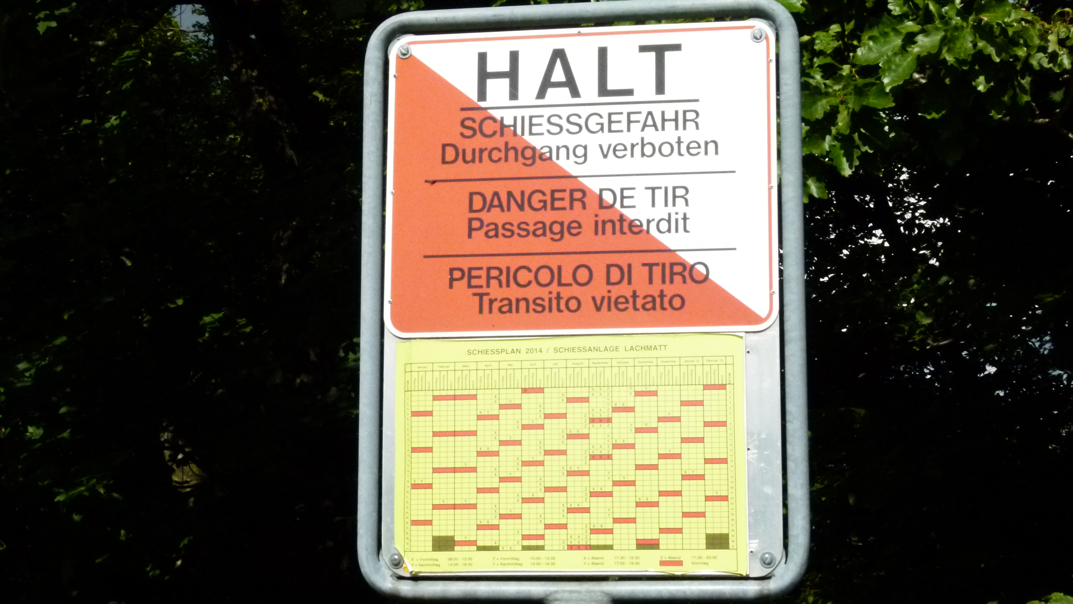
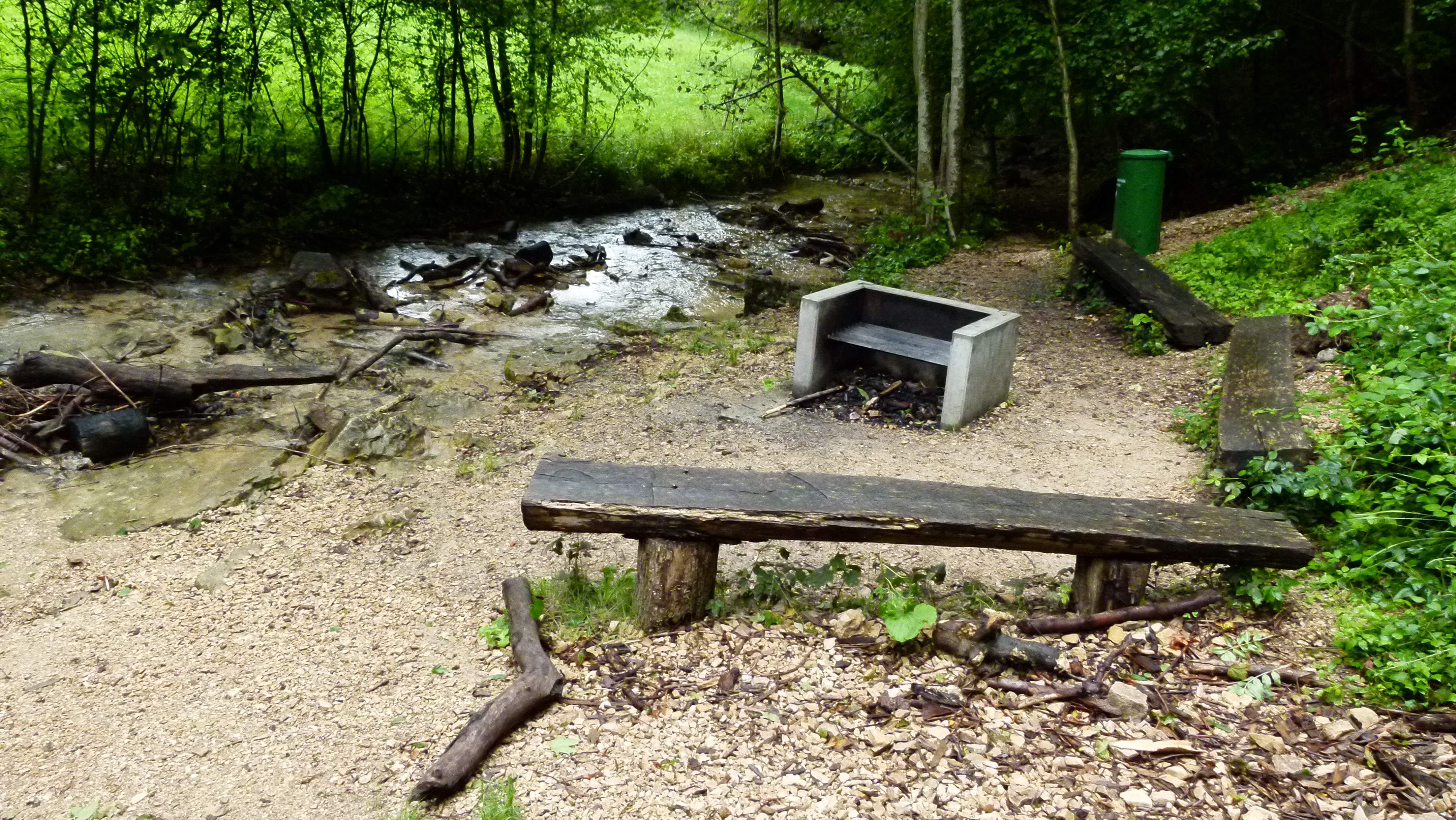
Watch out, there are also areas, where the Swiss men practice shooting – this is mandatory for those serving in the militia army.
Vineyards benefit from the sun on the south facing slopes. Muttenz grows some excellent wine here that we keep for ourselves in Muttenz and around Basel – sorry.

When I went to school in the 1960’s, our geography teachers took us out to explore the Wartenberg. Near the ruins we looked for fossils. Our teacher also pointed out that the Wartenberg is not a mountain, but a ditch. I do not really understand this, but I find various documents on the internet that study the risks of the Wartenberg ditch for a waste disposal site (Wartenberg-Graben, Studie für Deponie) and for the railroad shunting yard (Wartenberg-Graben, Studie für Rangierbahnhof). The “artificial” mountain in a ditch does not seem to be very stable: There was a devastating landslide in 1952 (report): 300’000 m2 slid down and destroyed buildings (even a solid concrete bunker) and the vineyards. The people from Muttenz repaired the slopes and the vineyards are back in place.
.
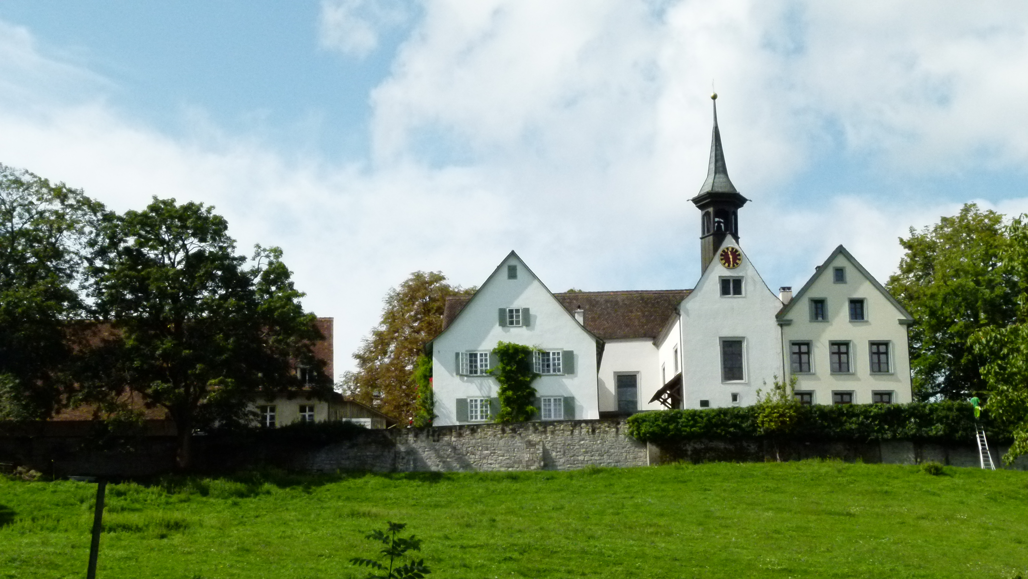
A monastery above Muttenz: Built in the 13/14th and abandoned in the 16th century (after the reformation)
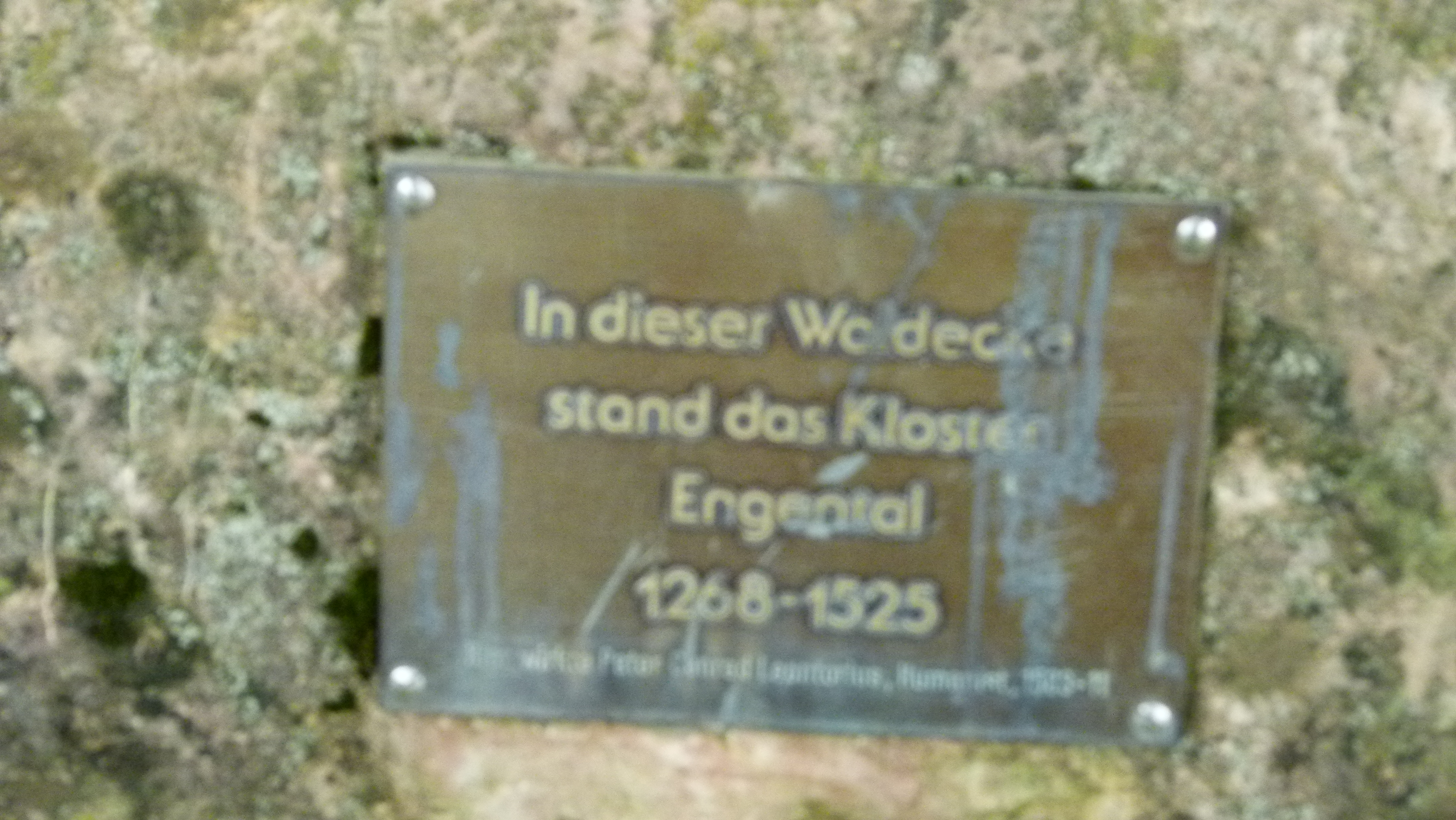
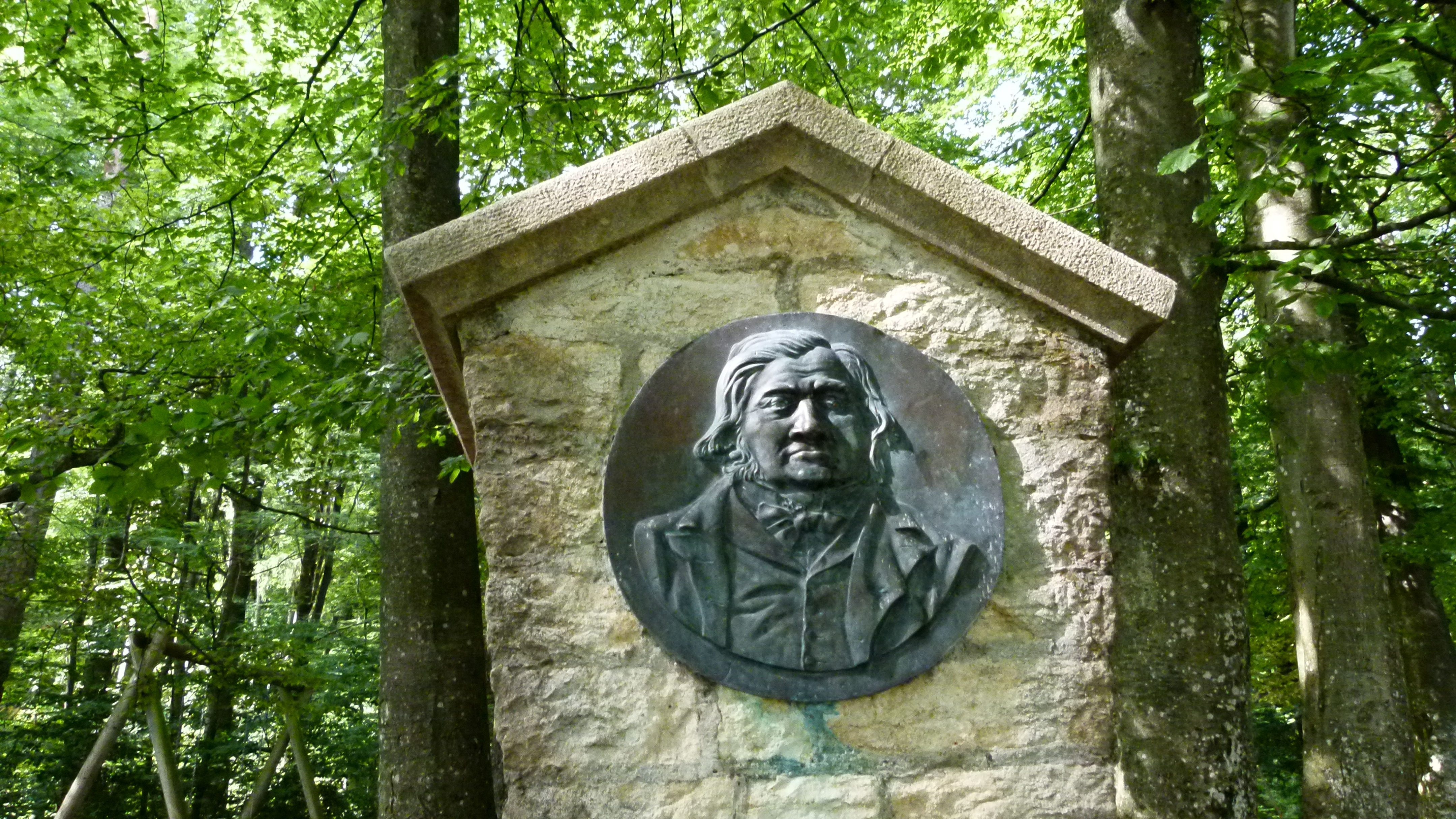
Andreas, my friend from Austria, guides our group of Nordic walkers to the Engental above Muttenz. He points to a line of trees and a field and says: “This was once a monastery”. The nuns had selected a unique place for their monastery: The view from here to the Rhine valley and the Black Forest is wonderful (it is a little hazy today).
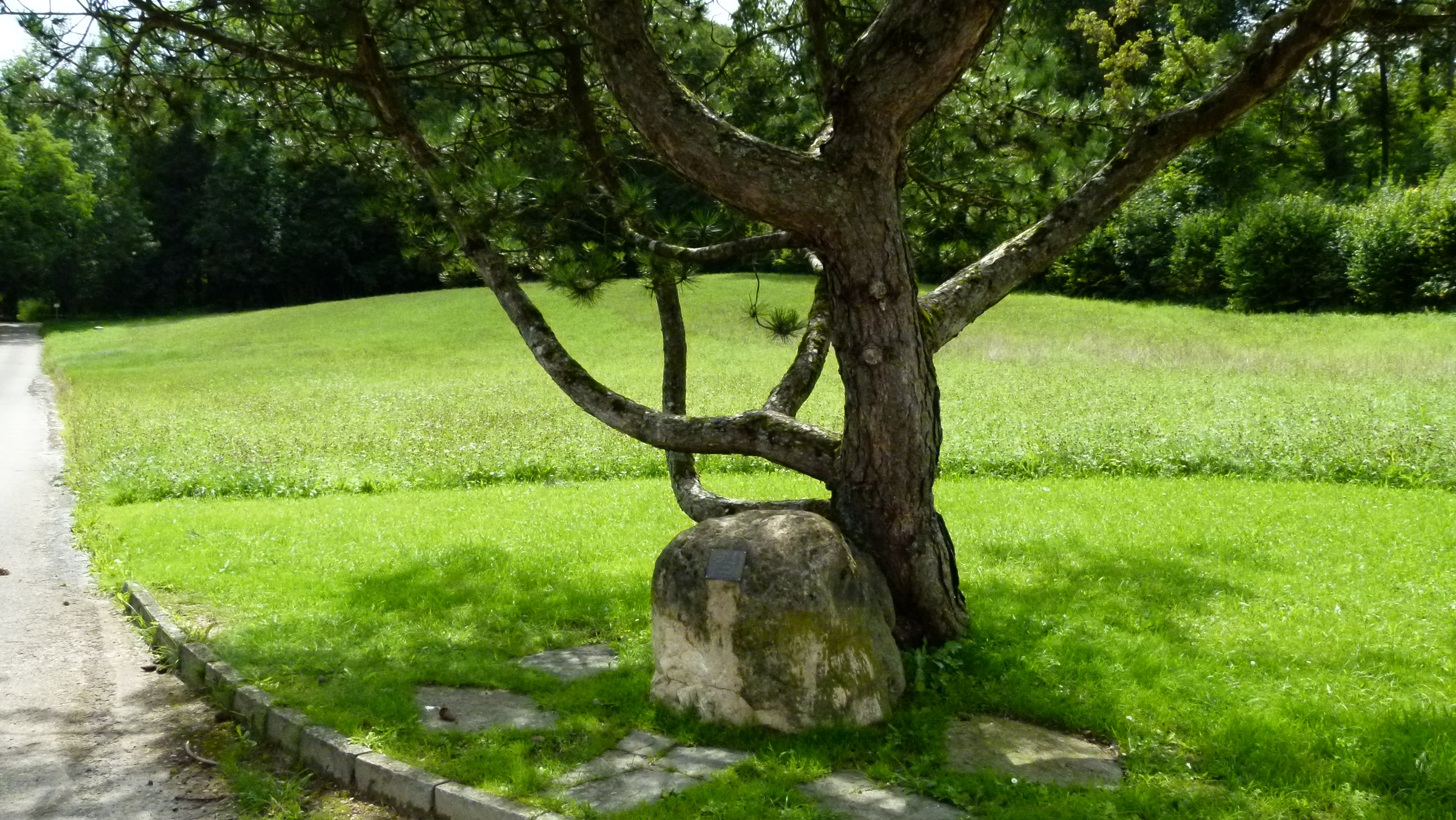
We can hardly believe this. But, Andreas shows the memorial board that confirms the monastery from 1268 to 1525. About 12 nuns lived here.
After the reformation, the monastery was abandoned and decayed. The Muttenz chronics of the 18th century mention that nature has almost fully conquered the monastery, and today nothing is left.
The wonderful local history website of Muttenz includes a painting of the monastery that I borrow to show the difference between the field today and the monastery that was here around 1500.
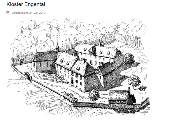
Source: heimatkunde-muttenz.ch
.
Next to the Engental is the Eigental with the Eigental farm that now has been reused to retrieve salt
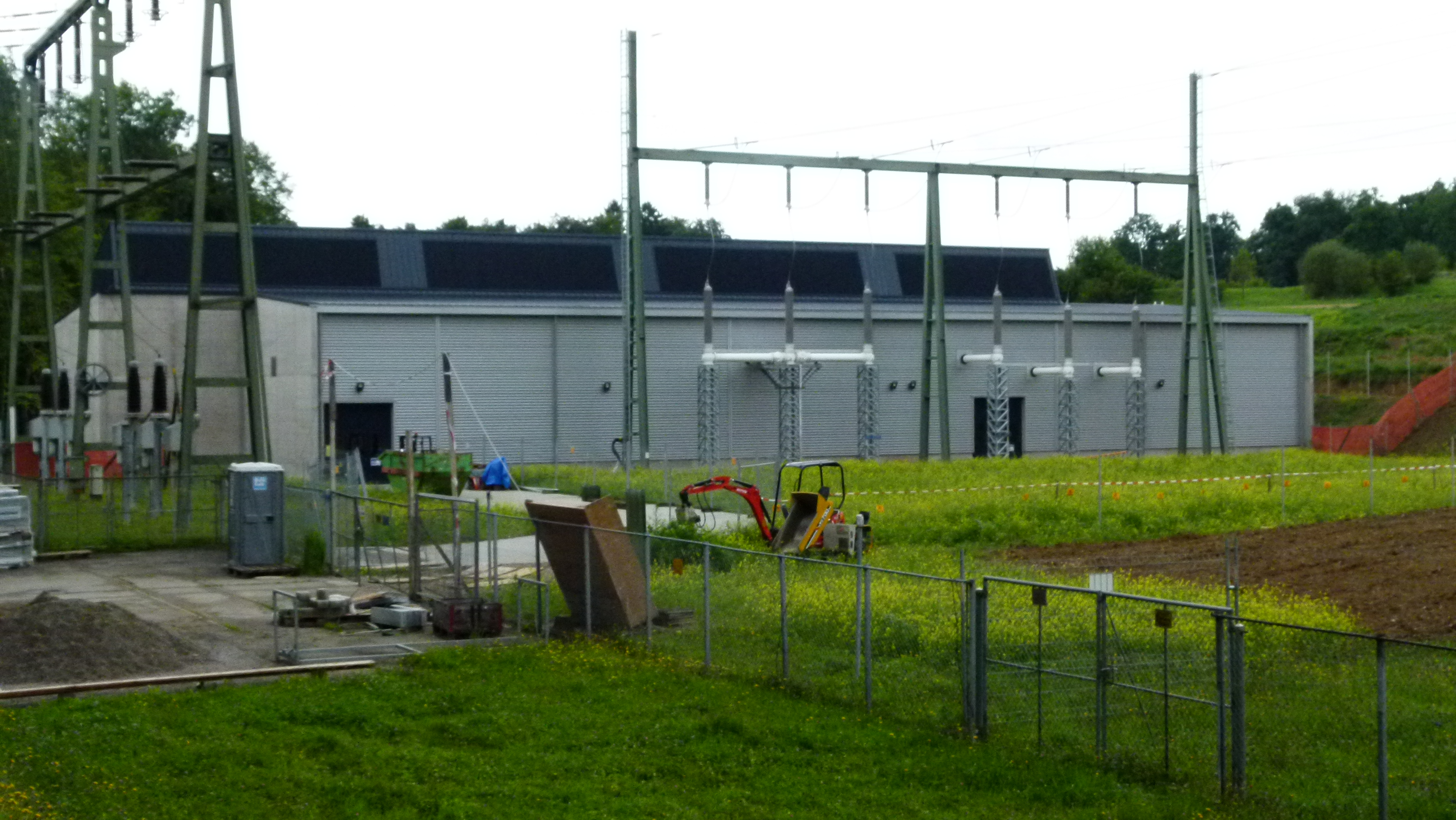
It was a few months ago that Andreas (my friend from Austria) showed the Engental monastery to me. In the meantime, my head had confused Eigental and Engental. After all – those two valleys are just next to one another. When I came back to take pictures, I first looked for the monastery place in the Eigental – and made an unexpected discovery: Construction is going on here. Caterpillars have churned up the earth around the farm buildings. Is the farmer renovating his farm? No – surprise – the Swiss Rheinsalinen AG is extracting salt – high above Muttenz and in a farming area.
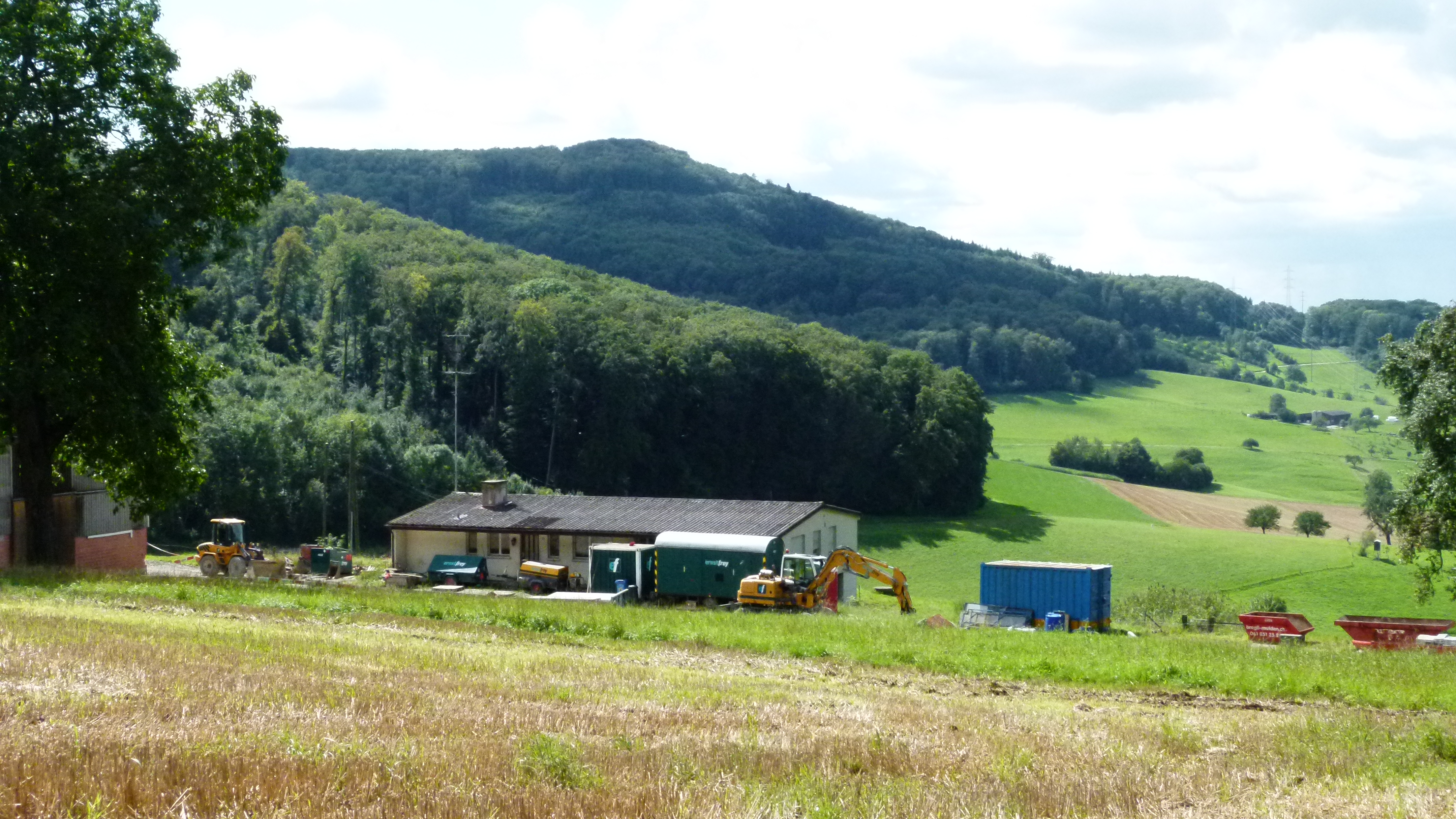
There is a salt block of 50m under the Eigental farm that had caught the attention of the Rheinsalinen AG. Had I not messed up the valleys “Eigental” and “Engental”, I would not have found out about this salt extraction. This reminds me of Kairos and the princes of Serendip that I blogged about half a year ago.
.
There are more treasures around Basel
This was my second selection of treasures southeast of Basel. There are more… and I will continue to write about them. And looking back I keep on wondering why I have ignored so many gems and their background in my homeland so far.


