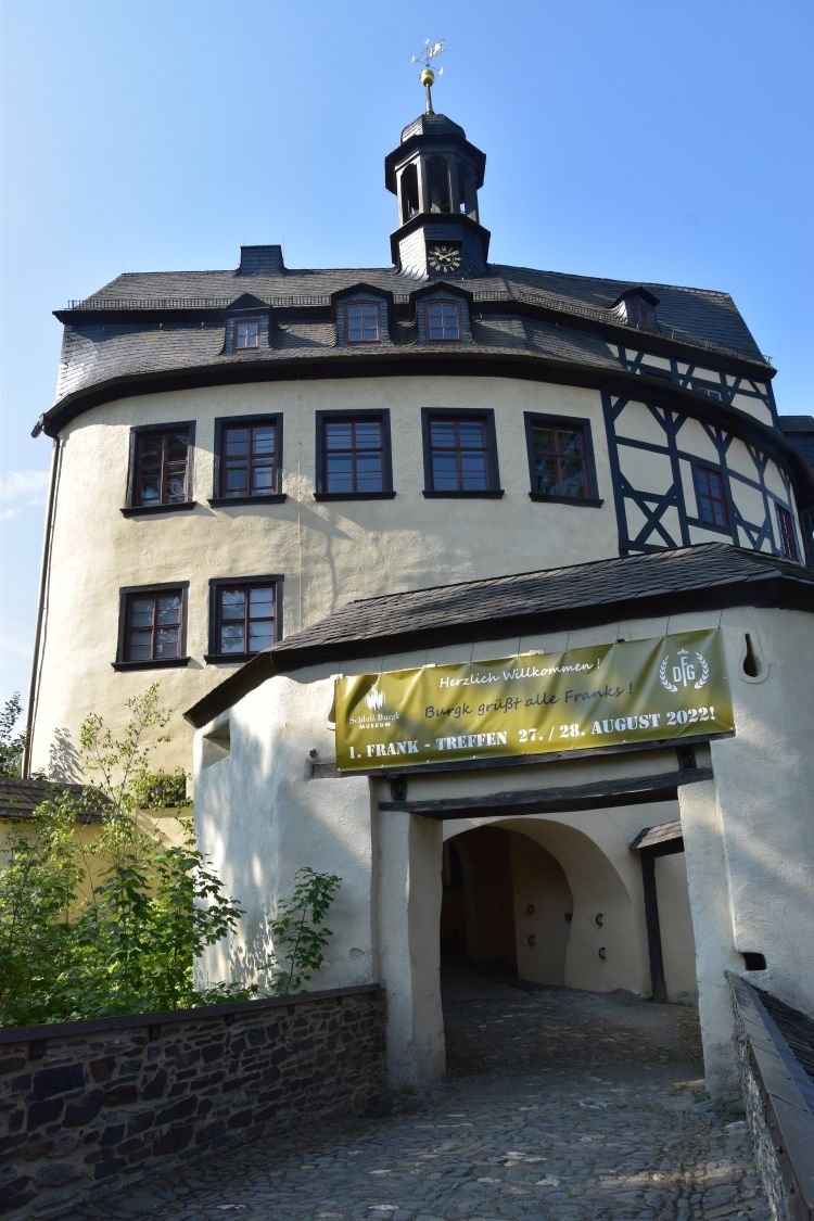
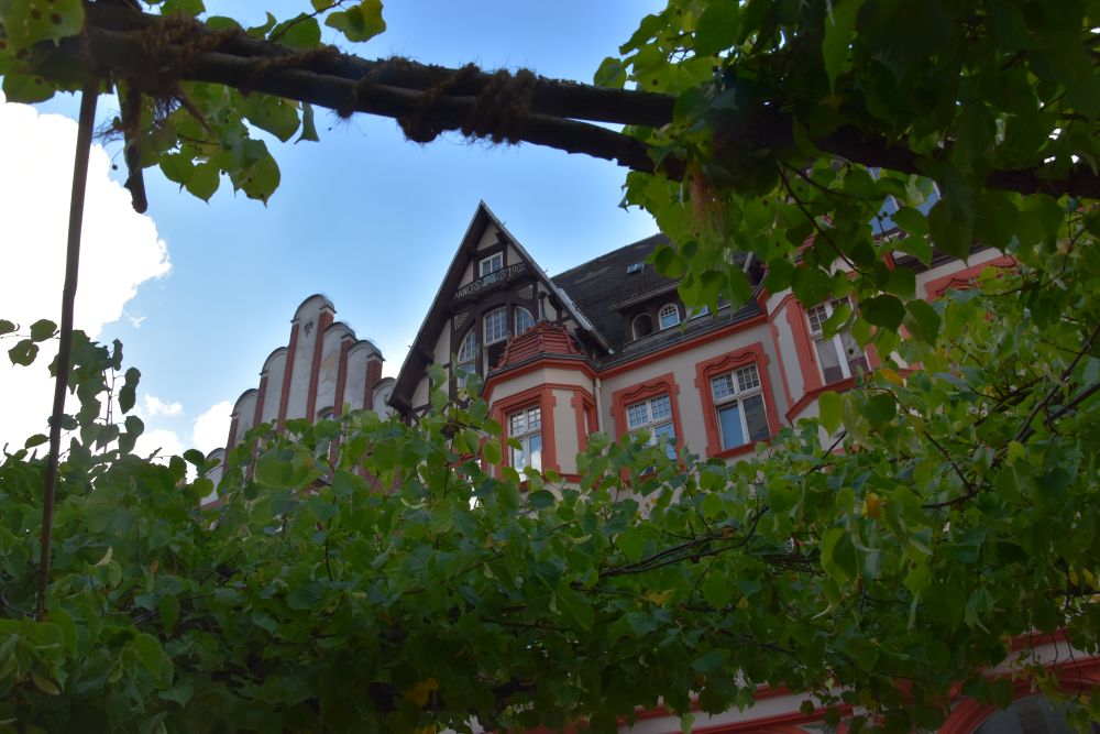
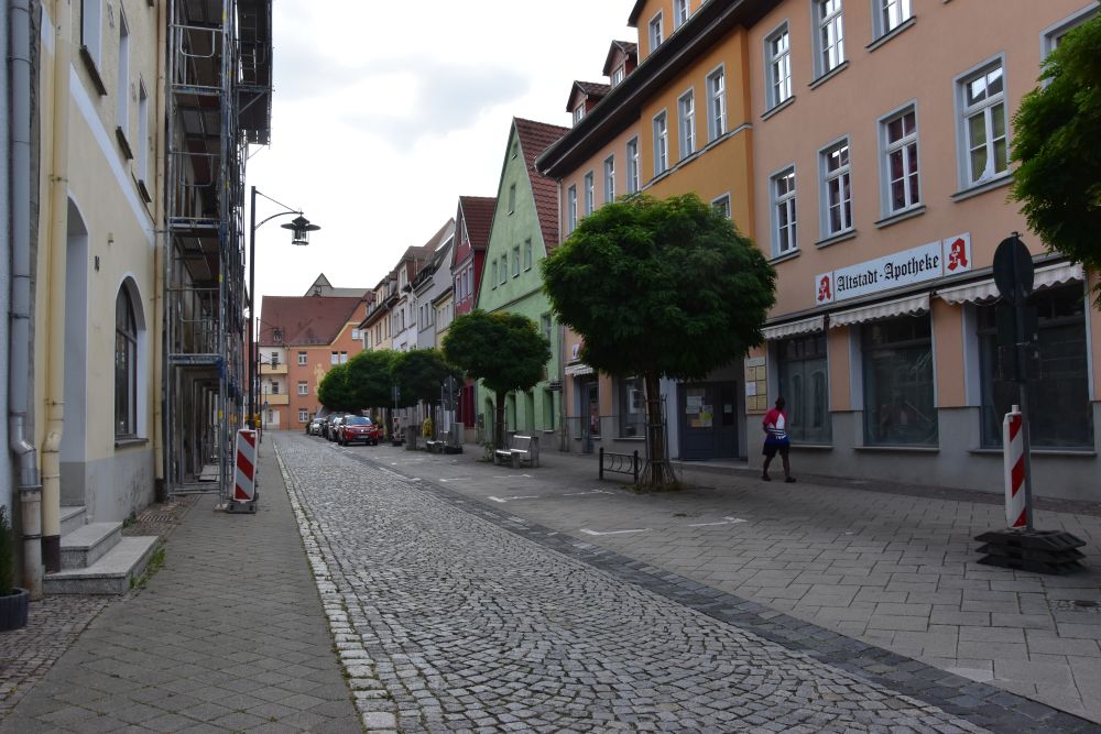
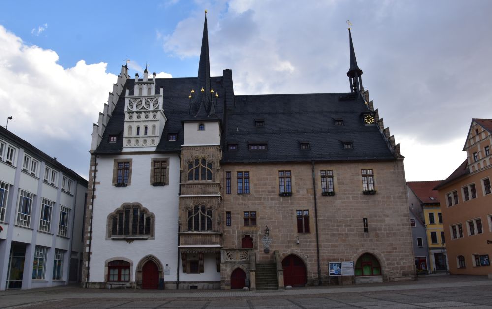
In August 2022, we explore Thuringia on our way from Berlin to Switzerland.
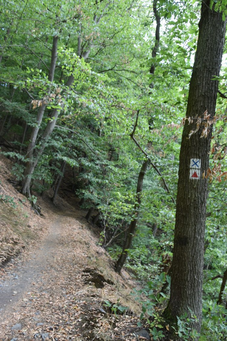
Now we visit the slate quarry at Lehesten. We arrive just in time, at ten o’clock precisely, to join the guided tour.
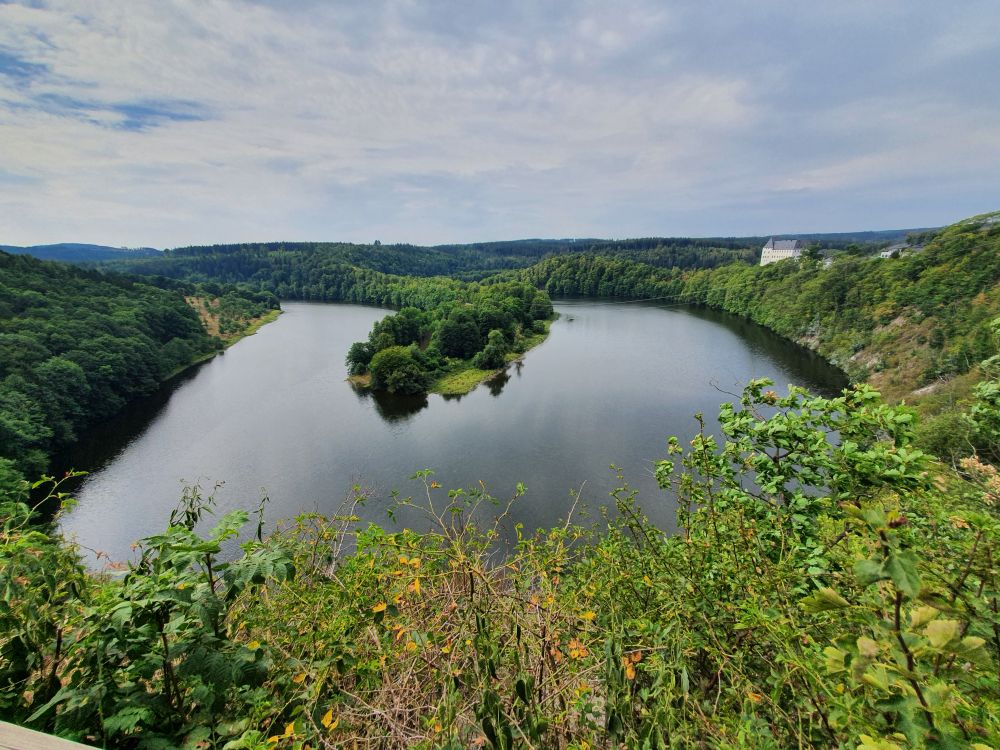
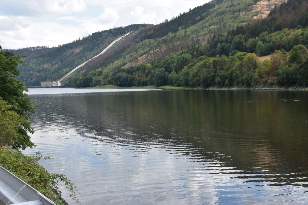
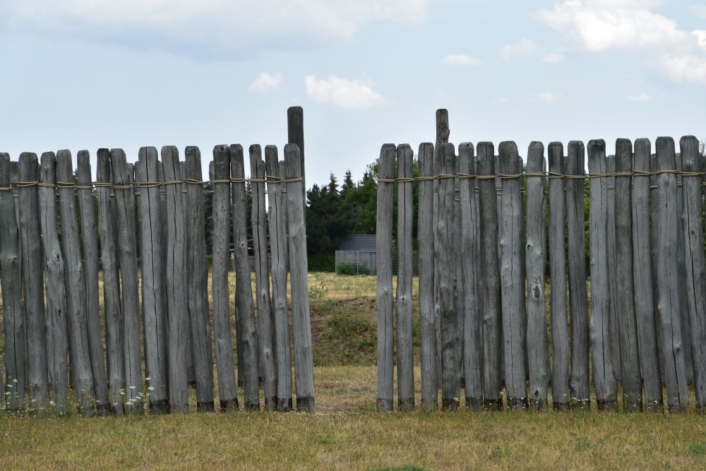
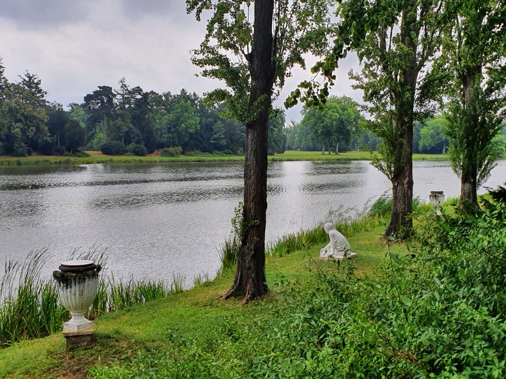
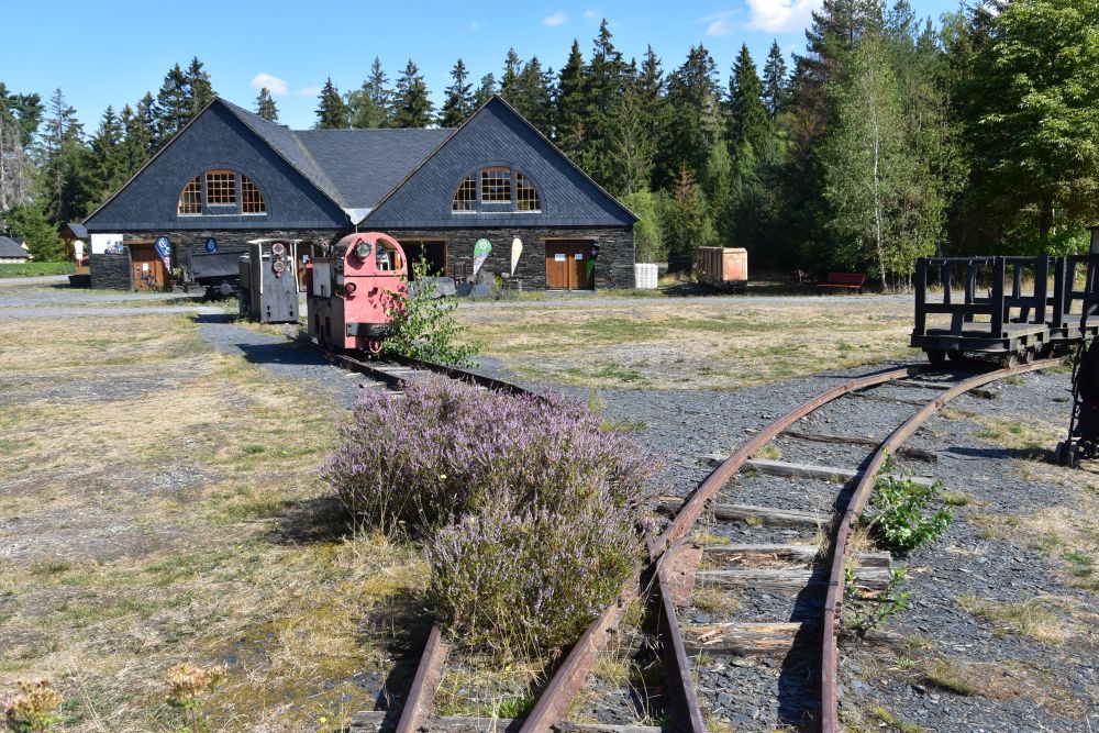
The slate quarry of Lehesten is now a museum
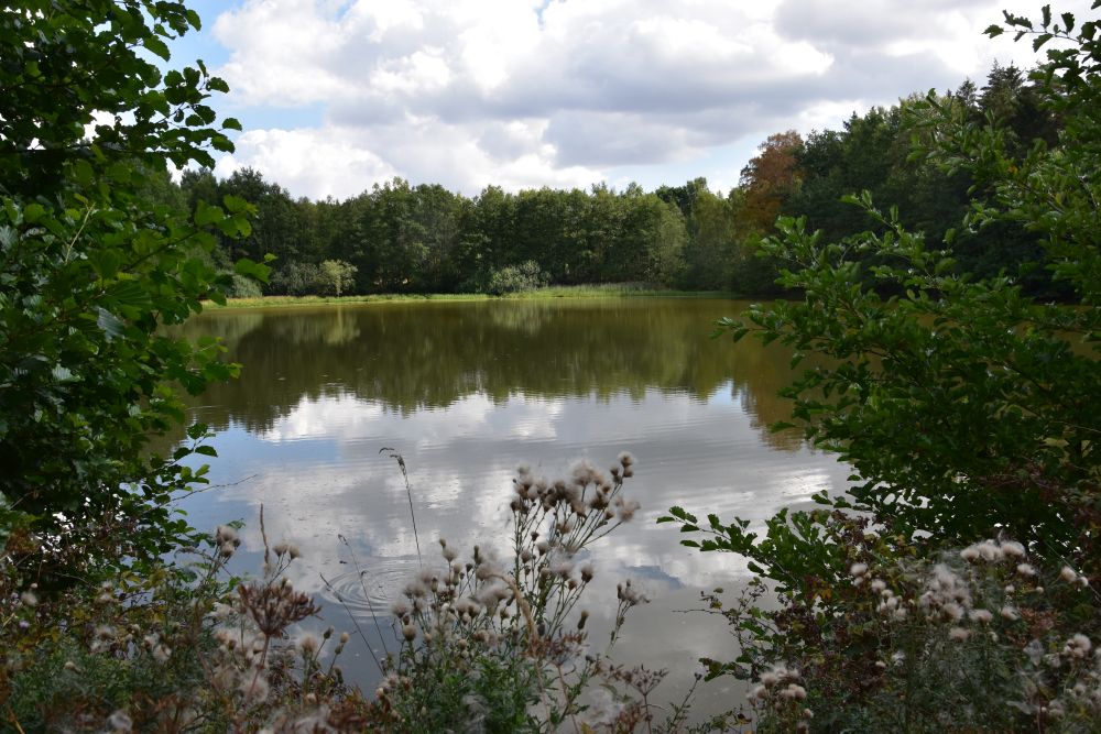
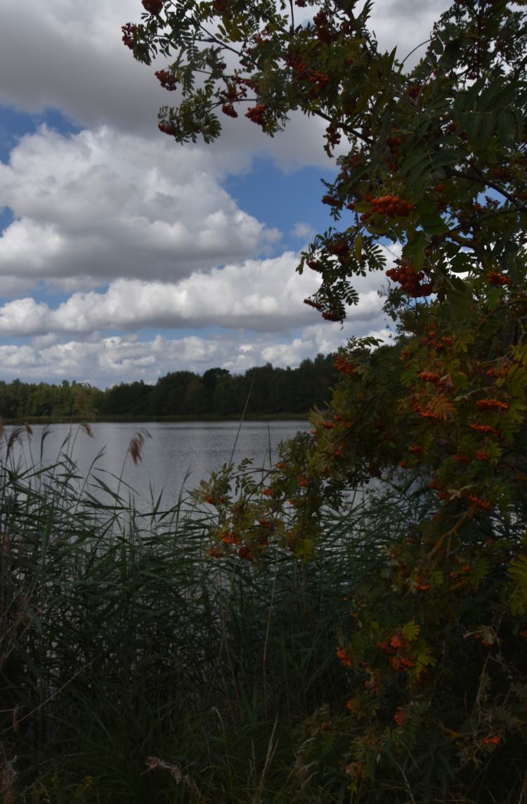
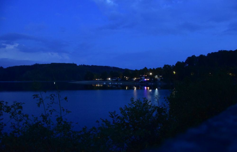
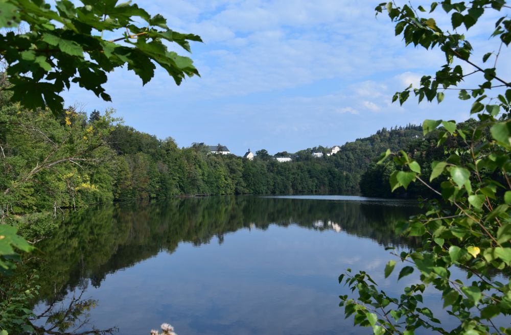
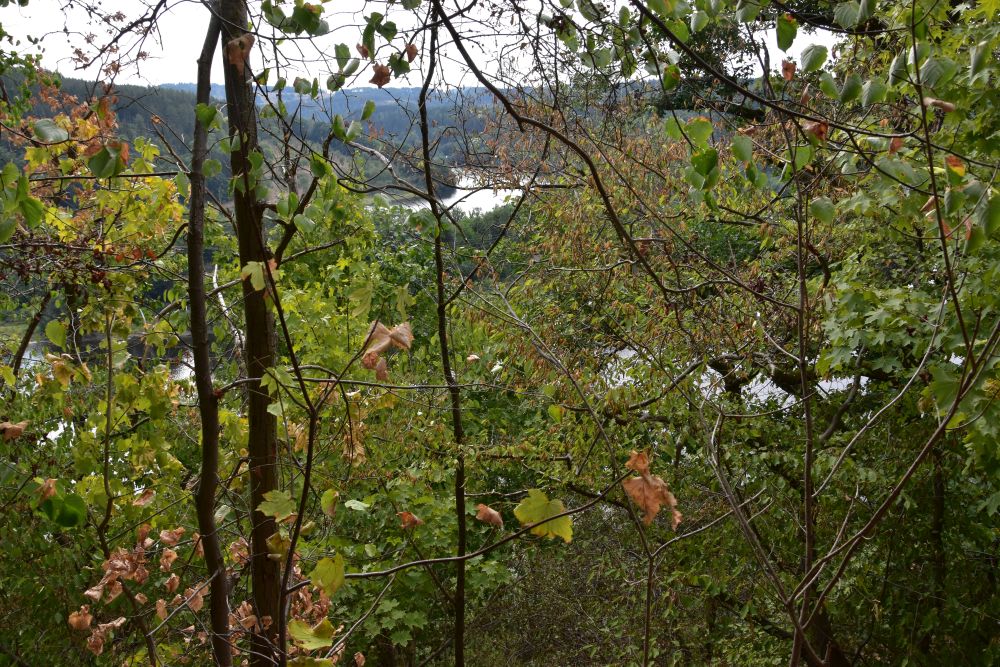
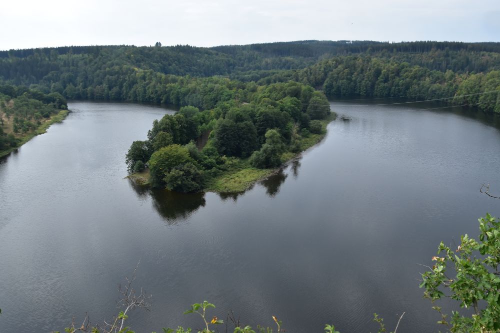
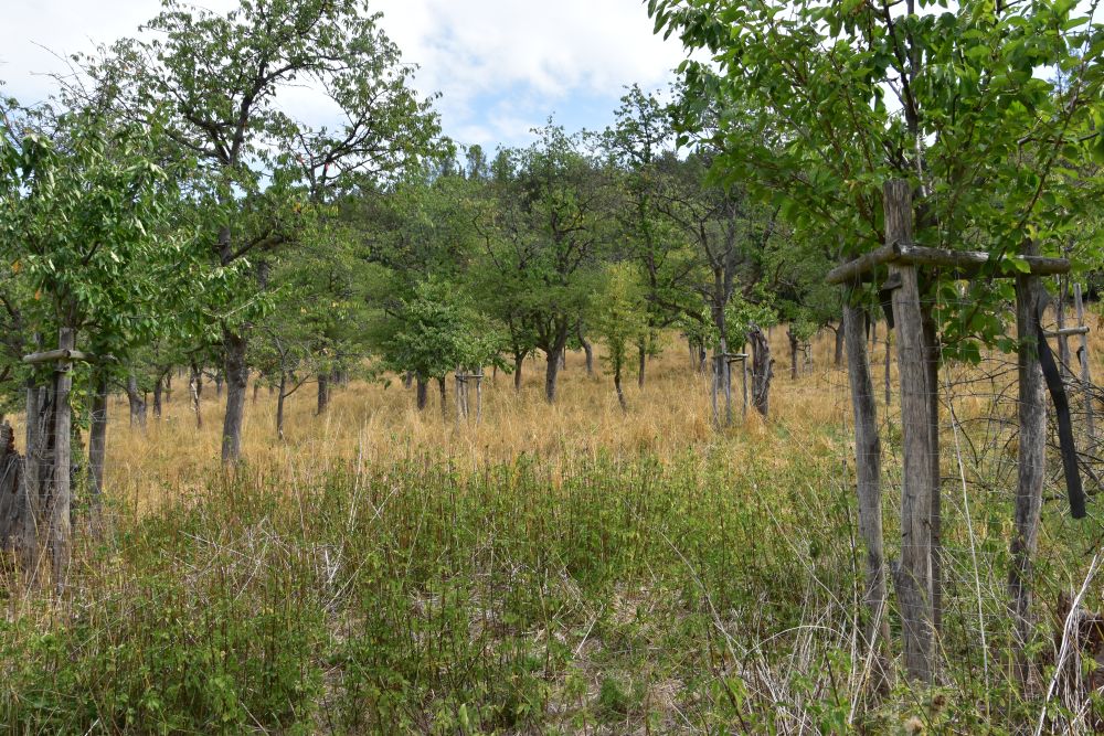
The former slate quarry is now a museum. The lake covers the former surface mine and has a depth 40m.

This lift once took workers down into the quarry. “Glückauf”, they said to one another, when going down into the quarry. This is, how they wished to one another that they would find valuable slate and that they will return safely.

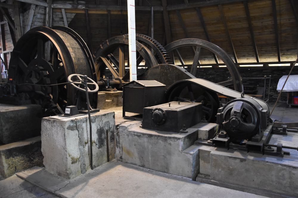
The house behind the lift hosts the former shaft lifting system. The slates were reloaded on to the mine train.
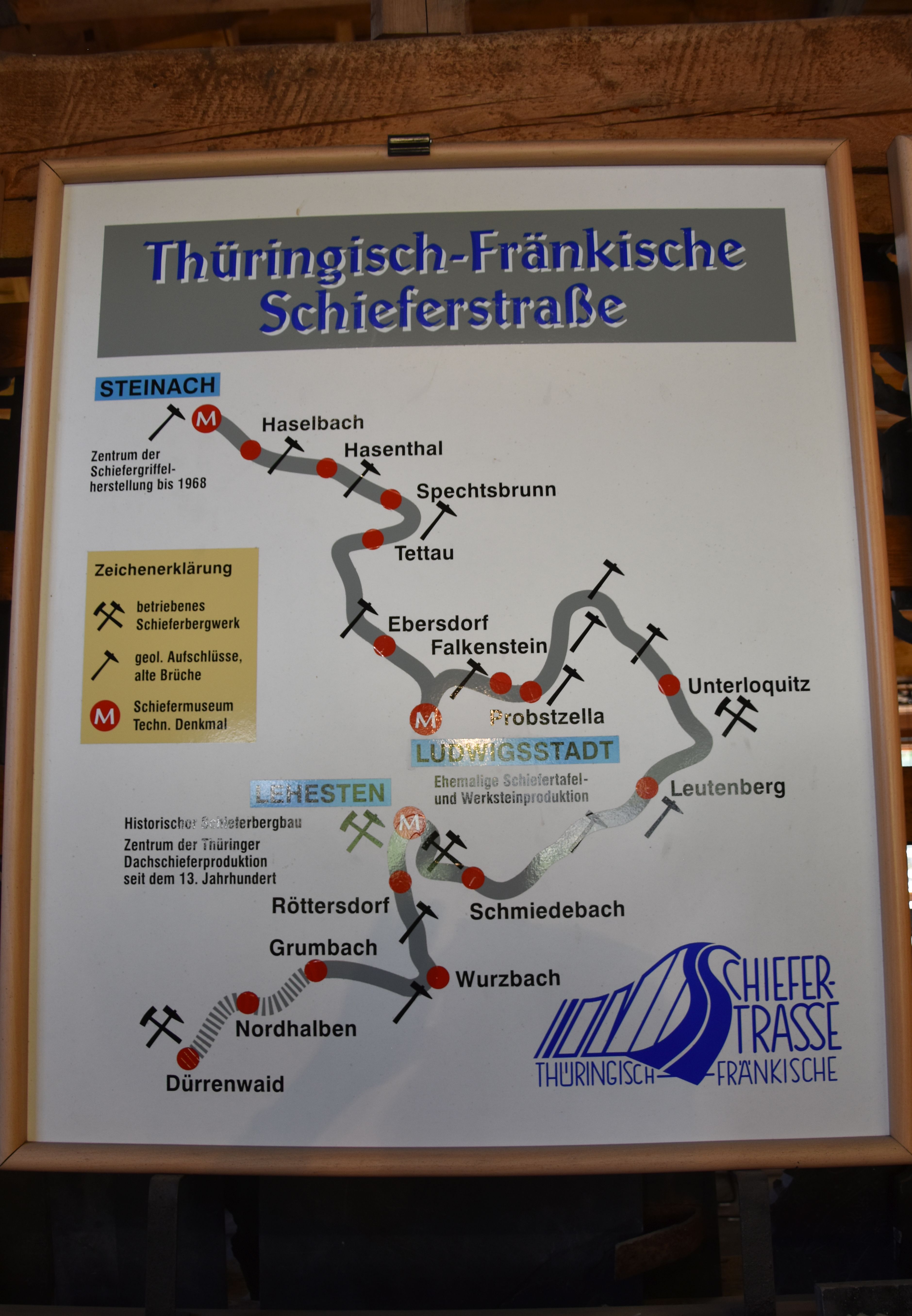
Slate road of Thuringia and Franconia
Lehesten is part of the slate road of Thuringia and Franconia. Lehesten was specialized on the production of slates for roofs, Steinau made slate pencils and Ludwigsstadt is known for slate tablets for writing.
Since the 13th century, slate was mined at Lehesten. It was one of the largest slate mines of the continent. In 1889, the quarry was connected to the train system. Between 1870 and 1910, the quarry employed 2500 miners. The slate was sold worldwide. In 1945, Thuringia became part of the German Democratic Republic. It was close to the inner German border, prohibited zone. Before 1945, workers came from Thuringia AND Franconia, and when the border closed, the workers from Franconia lost their job.
The mining was ceased in 1999 and turned into a museum.
The origin of the slate of Thuringia are sediments deposited in layers in the so-called Rheia Ocean about 350 million years ago. The sediments dried out, were folded, pressed, pushed around and shifted. Schubert (“unser afrikanischer Schiefer”) describes this “drama” in four acts in detail. The layer of highest value for us is the so-called “Blue Stone” (Blauer Stein, hence named “Blue Gold” with an excellent cleavage property). I learn that the slate of Thuringia and Franconia is much older than our slate in Switzerland which evolved with the Alps about 50 million years ago.
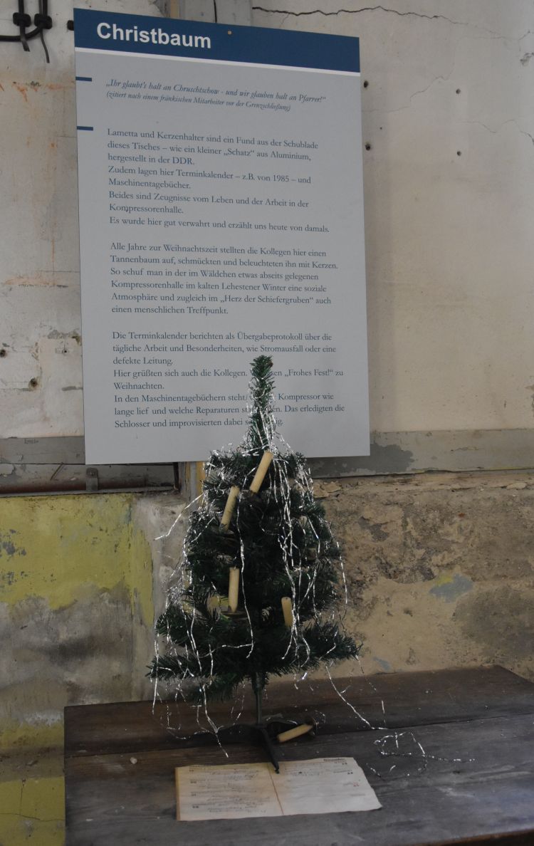
The energy centre with the Kompressorenwart (compressor guard)
Exploring the Lehesten mine, we enter the compressor house. The mine made its own electricity. The compressor guard had to monitor the pression, as the panel explains.
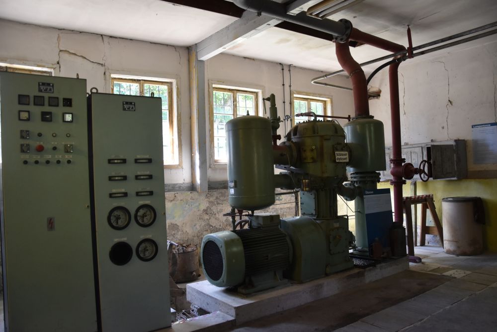
The compressor guard sat in a small room and walked through his compressor house every fifteen to thirty minutes.

At Christmas, the workers set up a tiny Christmas tree.
Göpelschachtanlage (Shaft lifting system)
“Göpel” could be phonetically related to the German word “heben” (=lift, this is what our guide said) or to the sorbic word hibadlo or gybadlo .
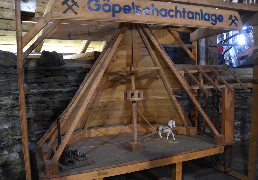
The shaft lifting system was once driven by horses and later by a steam engine.
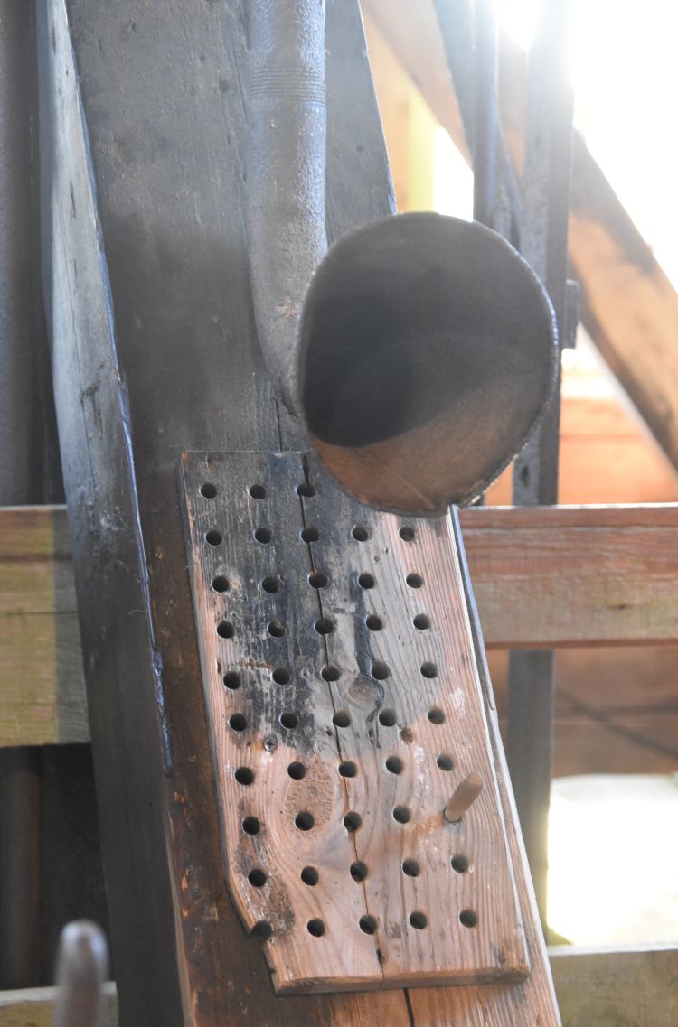
The foreman would talk to the workers using this megaphone.
These are some examples of the shoes and the helmets the workers used in former times.

Cleaving and cutting the slate
The former “Spalthütte” (cleavage hut) is now the visitor centre. Our guide demonstrates, …
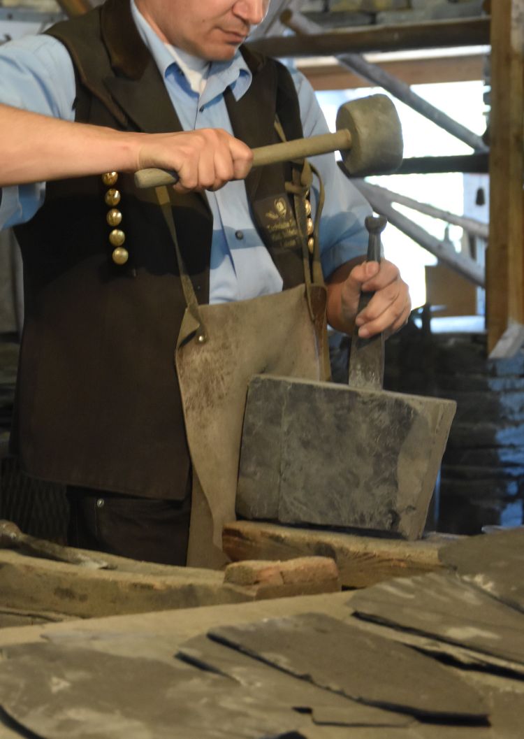
… how the slates were split and ….
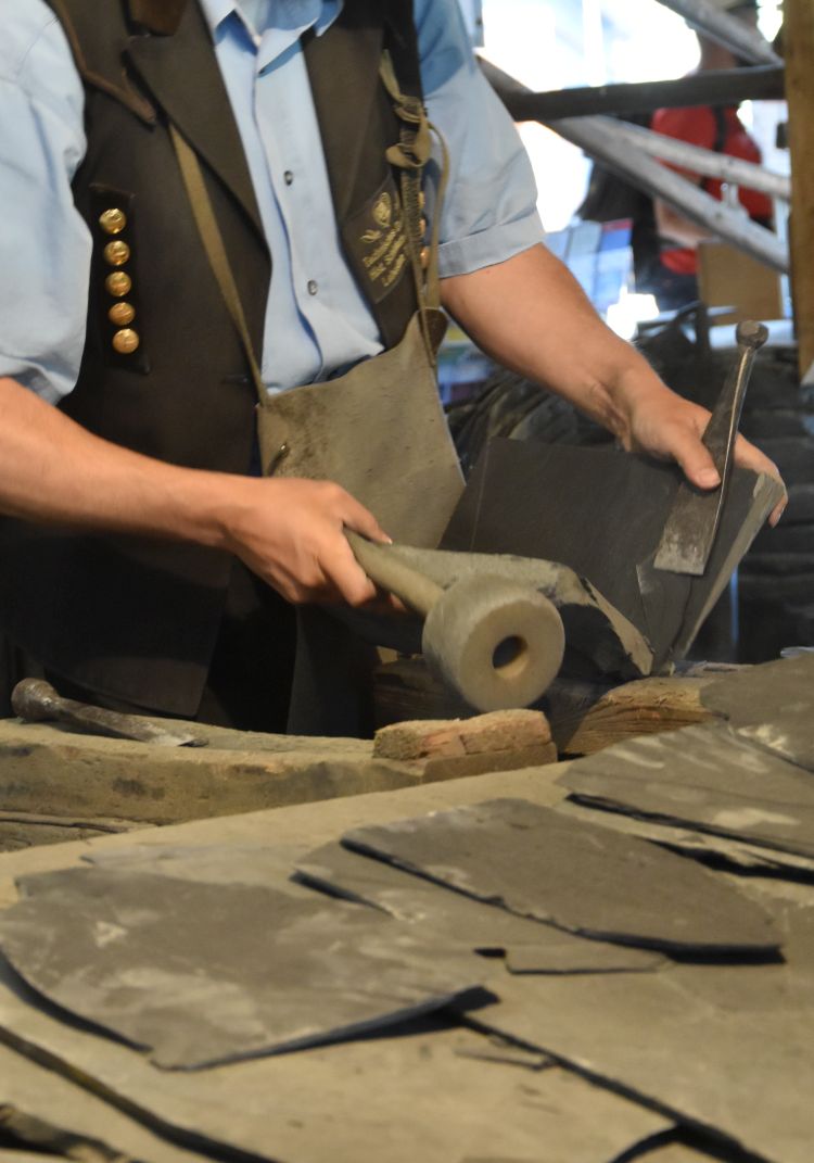
… cut. For cutting, he used a tool that reminds me of my paper cutter machine. I am astonished to see, how smoothly it cuts slate.
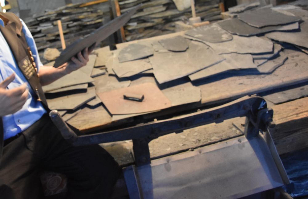
Templates helped to shape the shingles for roofs and houses.
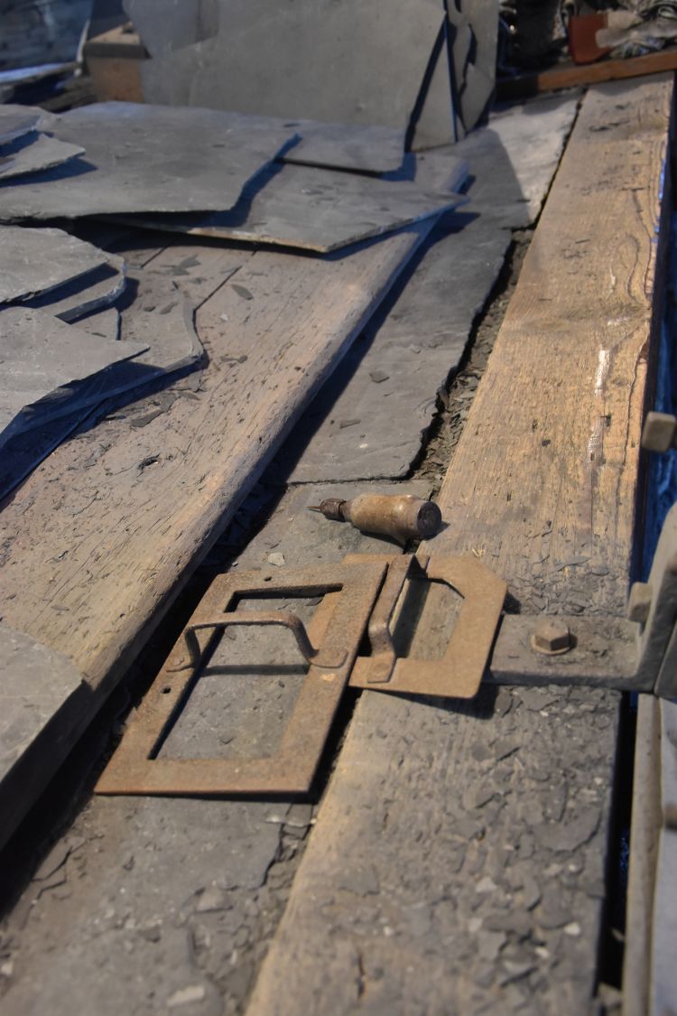
Tedious manual work.
Slate products
In the villages of the Thuringian Slate Mountains, most houses are covered with slate shingles, as this transformer house at the Lehesten quarry.

However, it is not just roofs and houses … Do you still remember the slate tablets (Schiefertafel) …
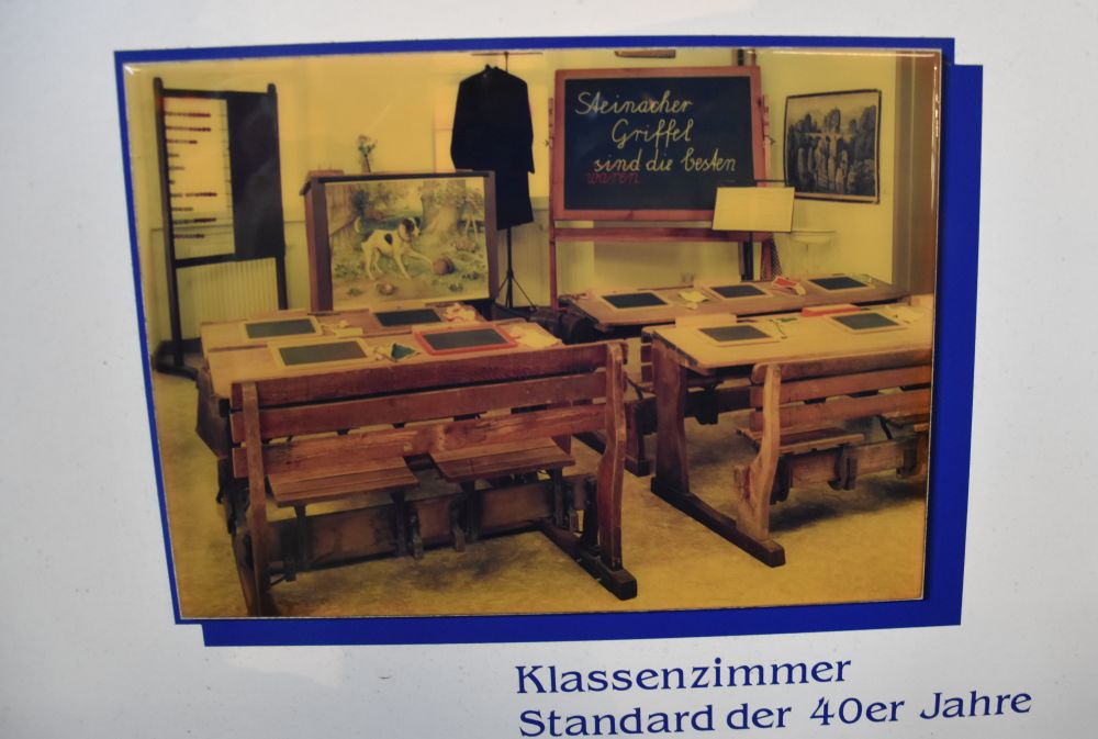
… and slate pencils (Griffel) you used at school? Even in the 1950’s some of us still had them at primary school.
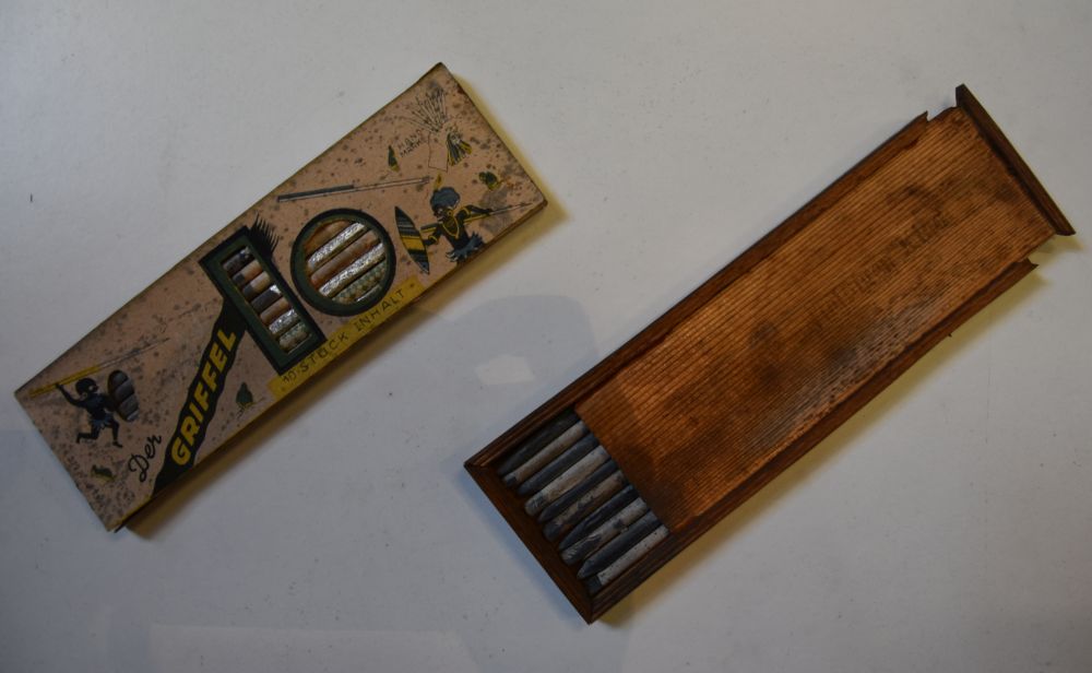
I never thought about how they were produced before.
I bought some slate plates at the museum shop that could be used as a cheese board – a nice souvenir and a small gift.
Map overview of Thuringia
This is the overview of our tour across Thuringia. Lehesten is located south of Saalfeld.
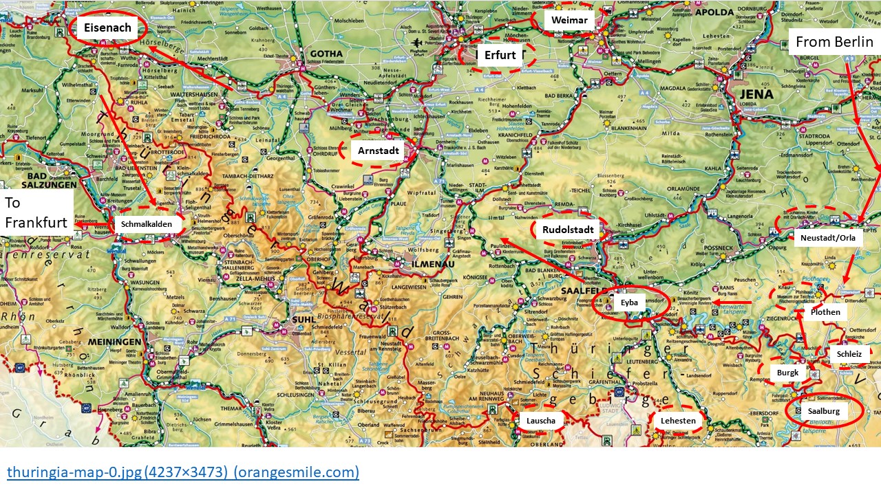
Our next visit will be Lauscha, where glass is produced.
Sources:
- Heidi Schmitt, “Thüringen Reiseführer”, Michael Müller Verlag 2020
- Dina Stahn, “Bädeker Reiseführer Thüringen”
- Dr. Reiner Schibert und Dipl.-Geol. Jochen Schubert, “Unser “afrikanischer” Schiefer”, Geopark Schieferland, Bad Lobenstein 2020
- Unternehmensverband Mineralische Baustoffe, “Gestein des Jahres 2019: Schiefer”, Leipzig 2019
- Hans Müller, “Thüringen”, Dumont Kunstreiseführer 1998
- Homesite Schieferdenkmal Lehesten http://schiefer-denkmal-lehesten.de/
- Wiki entry Schieferpark Lehesten https://de.wikipedia.org/wiki/Schieferpark_Lehesten