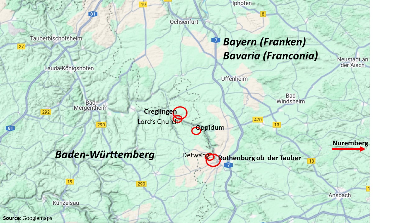
In August 2024, the paintings of my grandfather Hermann Radzyk had motivated me to visit the Taubertal. I searched and found the easel locations at Rothenburg and Detwang. Now, I explore more of the Tauber valley. My first target is the Celtic oppidum Finsterlohr-Burgstall.
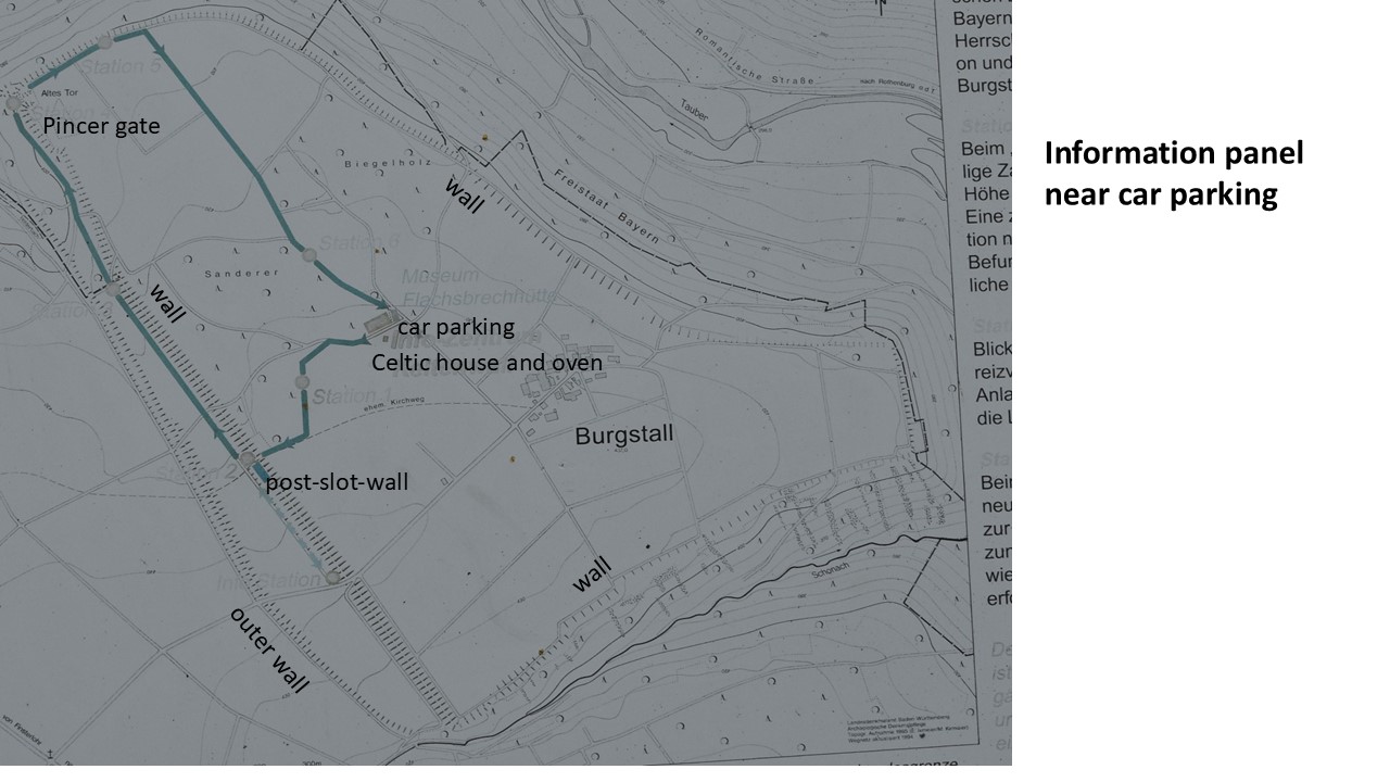
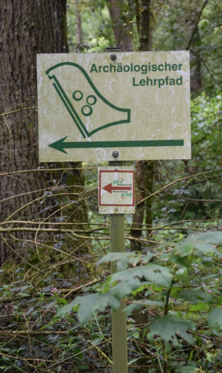
In the 2nd/1st century before Christ, the Celts had built an oppidum on a plateau above the Tauber valley. An educational trail of 2.5km was inaugurated by the association Kelten-Creglingen-Finsterlohr at Easter 2023. The trail is marked by the green coloured line on the panel ; it covers a small part of the former oppidum.
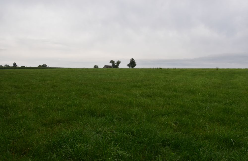
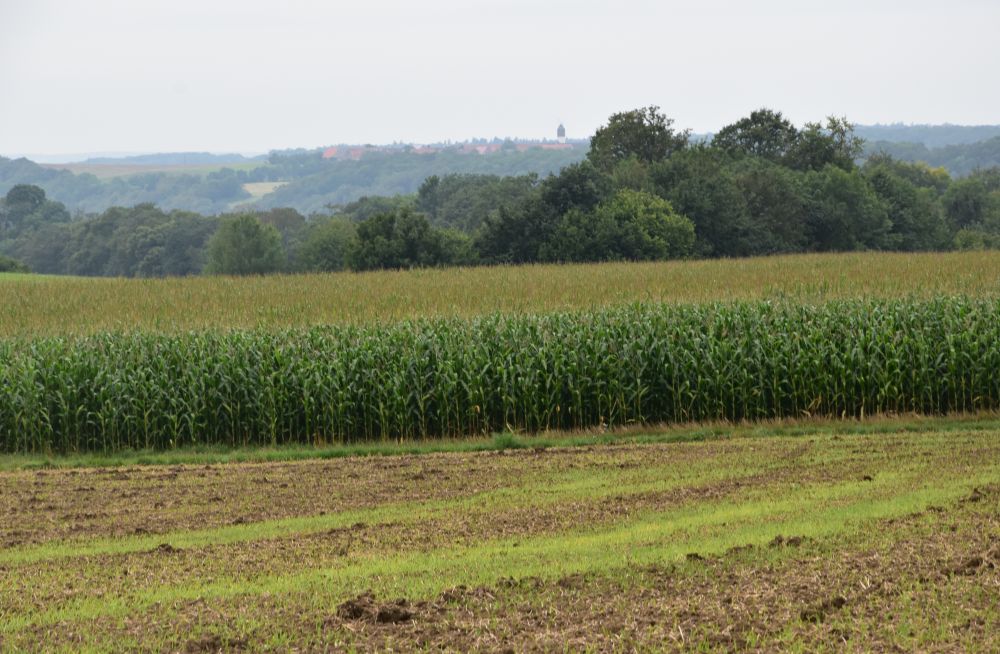
I am curious. With my car, I drive north from Rothenburg ob der Tauber following the road along the Tauber river.
The river is cut deeply into the German plateau landscape.
The oppidum is on the plateau. From the Tauber valley, a narrow steep road leads uphill, and I get stuck; a shepherd with his herd enters the narrow road from the right and heads down. I stop, another car coming down stops as well, and we wait. The sheep pass by my car on the steep embankment of the road, it is an enormously large herd.

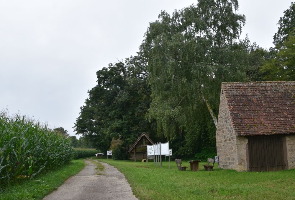
I feel sorry for the sheep. When the last sheep has past, the car coming down and me going up miraculously manage to cross each other. I drive up, reach the plateau and park my car at the start of the educational trail of the oppidum. I am the only car here and the only visitor. It is drizzling.
At the entrance, this panel explains to me, what I am going to see.
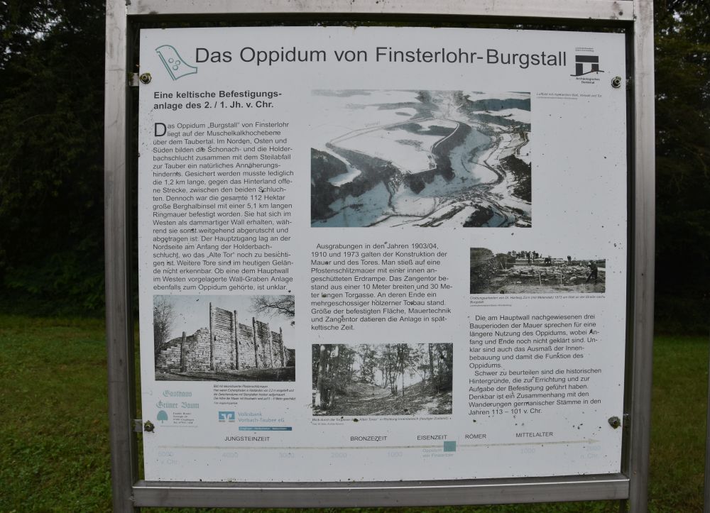
On the shell limestone plateau, the Celts had selected the location for their oppidum carefully. It was well protected by the Tauber valley and two other smaller canyons. Only 1.2km of the oppidum, open towards the plateau, would have needed protection. Nevertheless, the Celts protected the whole oppidum by a wall. Most of it has disappeared today. The main entrance to the oppidum was in the north above the Tauber valley. Excavations had uncovered the remains of the pincer gate (the panel shows the former passageway).
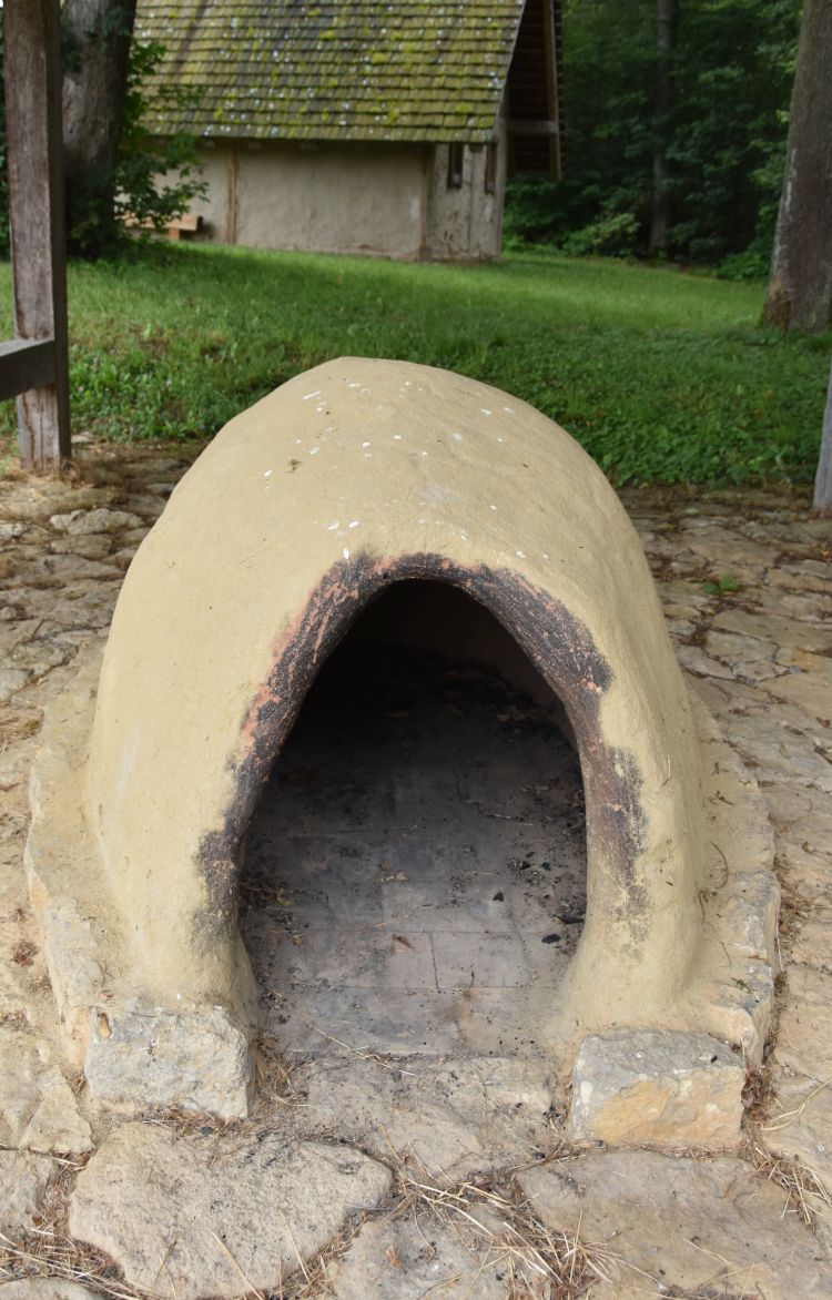
I get started. Behind the picnic table, the models of a Celtic house and a Celtic oven mark the first station on the trail. The panel next to it explains it all.
The Celts used loam to build their houses. Loam, a mixture of clay, sand and silt, is still in use today to build houses. For weather protection, the Celts painted the outside walls with white lime.
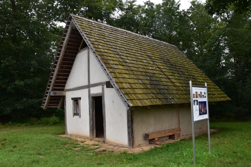
Inside, there was a fireplace. The smoke waterproofed the roof and chased insects. 13 to 15 persons lived in such a house; with limited space and smoke, life must have been pretty uncomfortable.
In the loam oven, the Celts baked bread at a temperature of 200 to 250 degrees. When the bread was done, they dried fruit in it, while it was cooling down. Rather sustainable production methods, we would say today.
The trail is well marked. I continue following the signs.
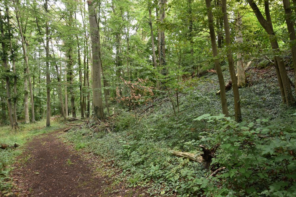
First, I walk “through the former village”. This is the view of the plateau looking south.
In the distance, south, I can see Rothenburg ob der Tauber.
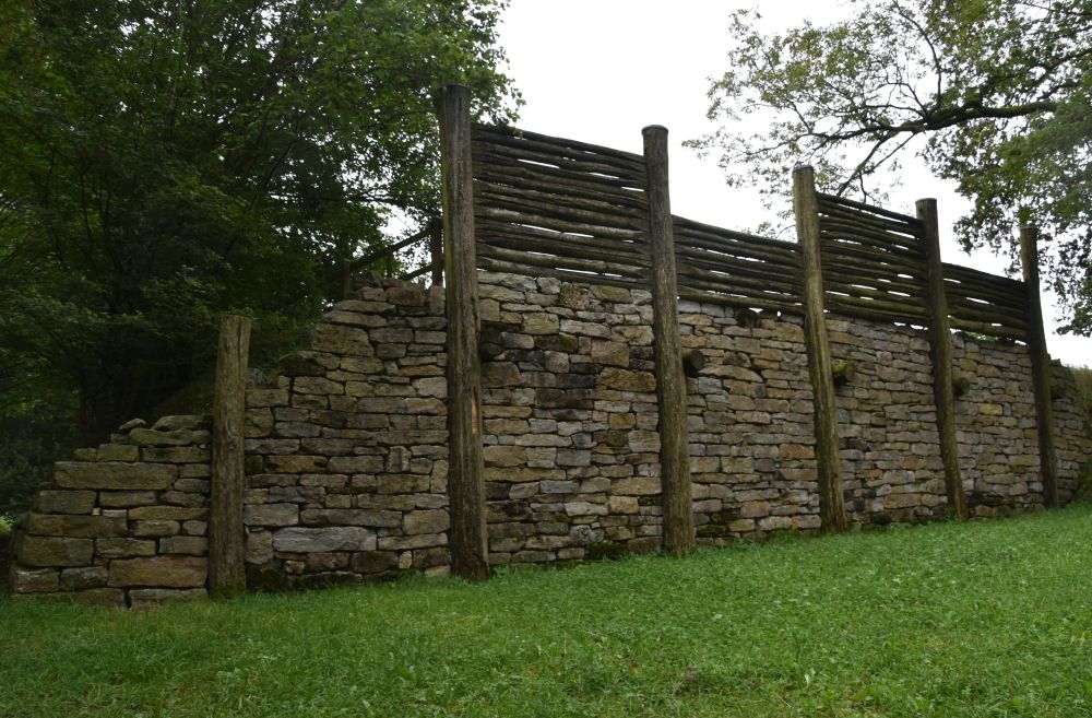
I reach the earth rampart at station 2. The post-slot-wall (Pfostenschlitzmauer) has been reconstructed; now I can see the upper wooden part above the earth rampart.
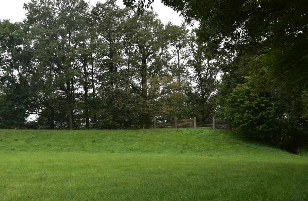
From the other side, it becomes clear that the wall was a dry masonry construction with oak beams (every 2.2 meters) and, at the back, the wall was fortified by the earth rampart. Overall, the wall was six meters high.
The wall went from south east to north east, the ditch indicates, where it was.
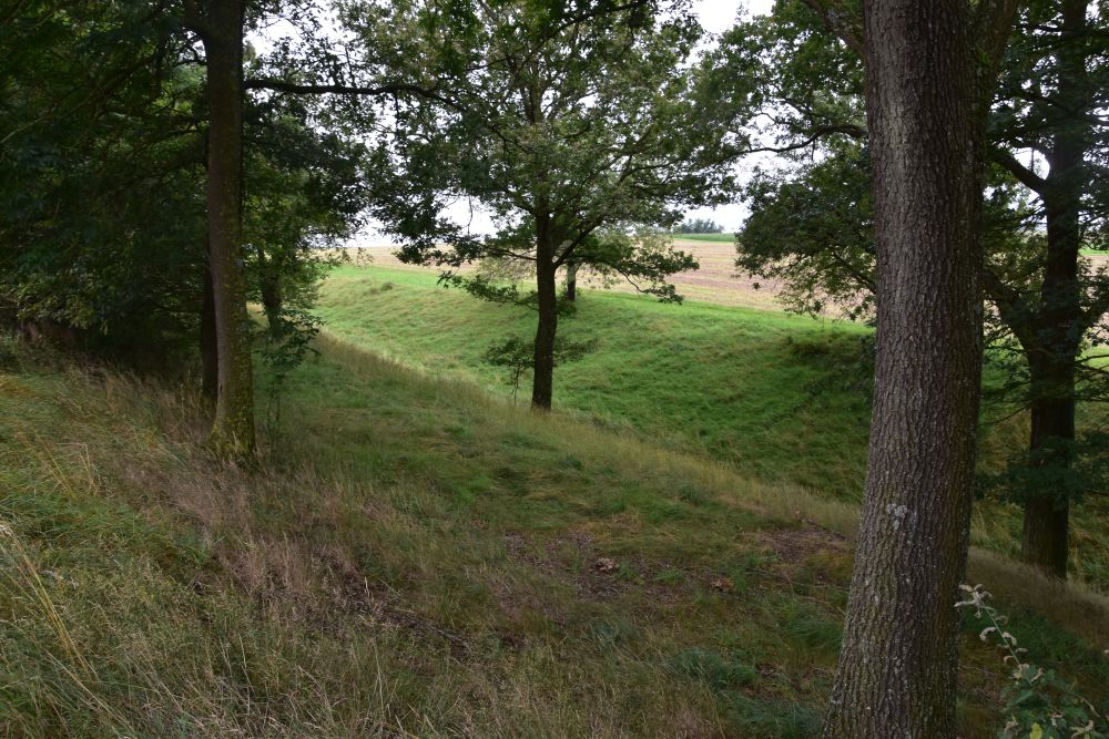
From here, the educational trail follows the former wall taking me north west and towards the Tauber valley.
I reach the edge of the Tauber valley and the remains of the former pincer gate (Zangentor). In front of the gate, the last 30m of the exterior road were lined with two lateral walls (the “pincers”). The resulting passageway (Torgasse) lead to the wooden gate. I read the panel, and I admit, I could not identify the remains of the gate; you can see the remains of the passageway on the first information panel of the trail (above).
I walk along the edge of the Tauber valley, until the trail turns right and leads me back across the former oppidum to the starting point.
While walking, I studied the panels informing me about the Celts. Here are some of my learnings.
The oppidum comprised about 112 hectares surrounded by the ring wall of 5.7km. The history of this oppidum is not known; it is not clear, how it was used by the Celts, as a permanent place of residence or as a shelter. The oppidum could have been part of the network of Celtic oppida, some of them covered more than 100 square kilometres. The oppida provided protection for people, their animals, the pastures and the fields. In addition, they were trade centres.
The Celts were organized in tribes, not as nations. The Celtic society flourished in the 6th/5th century before Christ. They traded with the Mediterranean region, as archaeological finds of amphorae or tableware prove. They replaced their barter system with a money system; they minted their own silver and gold coins. Later, in medieval times, people found pieces of gold in the fields, mostly after heavy rainfall. They believed that the pieces of gold had fallen down from heaven and that they would help to cure fever or pain.
The Celts started to write adopting the alphabets of other peoples, e.g. the Greeks. However, writing was reserved to ordinary purposes, while the druids continued transmitting their knowledge orally.
The Greek invented the name “Celts”. For instance Herodotus wrote about them in 450 before Christ. He was aware of the Galatians in Anatolia that were also a Celtic tribe. By the way, the Celts had also settled on the Cathedral hill of my home city Basel. Above the Rhine river, the remains of a similar Celtic wall have been excavated, and the explanatory panels show the same post-slot-wall construction.
The Celtic culture disappeared, when the Romans came. The Celts were romanized. I believe, they must have preferred the Roman way of living, as it was more comfortable (heating, water provision, baths, theatre, more effective agriculture and animal raising…).
I finish my tour. I feel wet, it is drizzling. The last information panel stands near the “Old Lake”, rather a swamp than a pond. Looking at it, I feel even wetter.
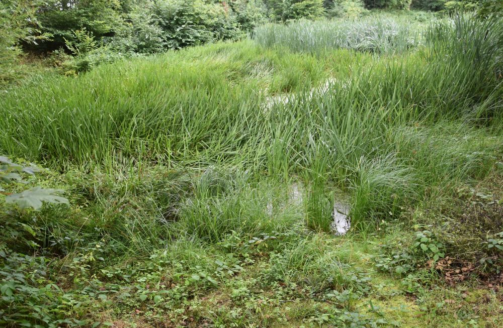
With this swampy pond, I say good-bye to the Celts and their oppidum and continue my way to Creglingen, where another altar of Til Riemenschneider is waiting for me.
Sources:
- Panels on the educational trail of the Celtic Oppidum installed by the Verein keltisches Oppidum Finsterlohr-Burgstall e.V.
- https://www.kelten-creglingen-finsterlohr.de/, Website of the Verein Keltisches Oppidum Finsterlohr-Burgstall e.V. “Das keltische Oppidum Finsterlohr-Burgstall, ein faszinierender Ort”.
- https://en.wikipedia.org/wiki/Pincer_gate; this wikipedia entry made it clear to me, what a pincer gate or Zangentor looks like.
- https://de.wikipedia.org/wiki/Oppidum_Finsterlohr
