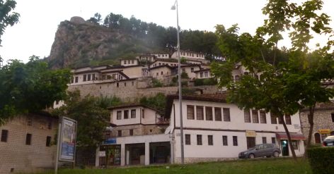
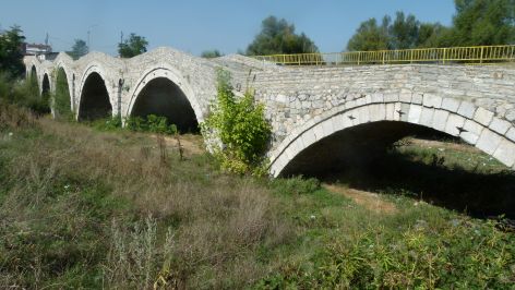
Ardenica monastery – Skanderbeg’s wedding took place here
The Ardenica monastery is located on a hill near Fier. It is from the 13th or 14th century. It is a romantic place: It is said that Skanderbeg got married here.
This is the church seen from the entrance to the monastery.

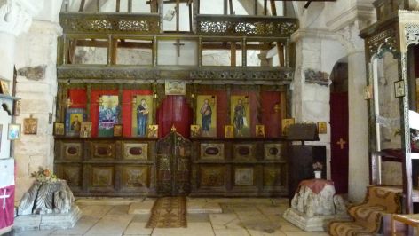
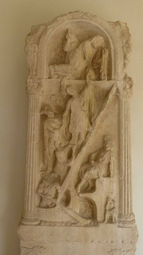
The iconostasis is beautiful – the guardian allows me to take a picture, before the group of Italians comes and sees it (quick, they can be heard already).

The pulpet is richly adorned.

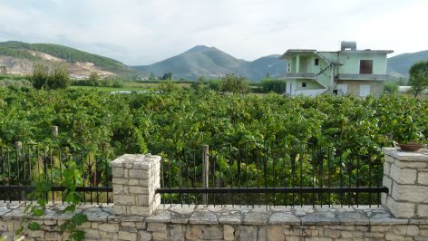
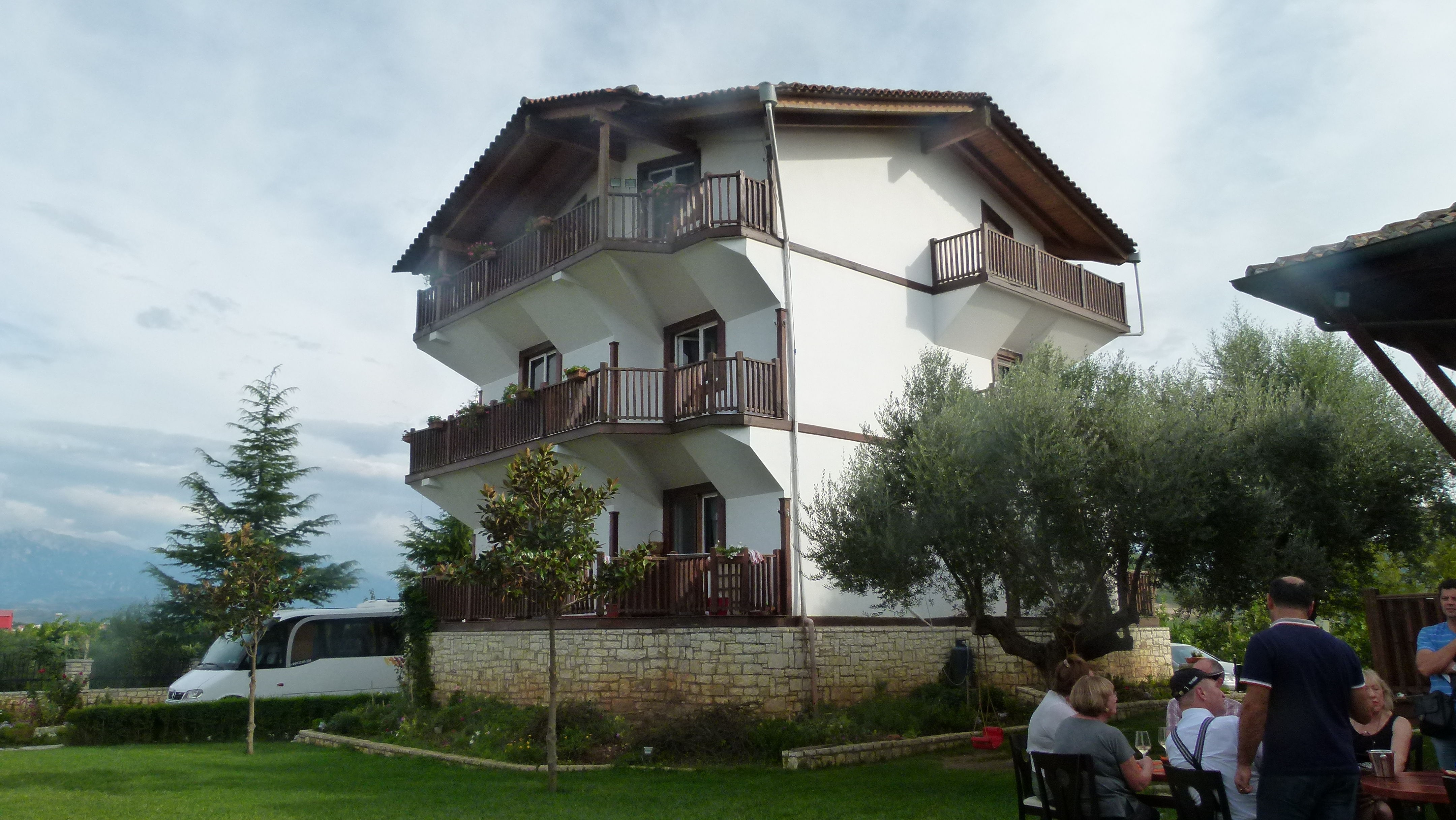
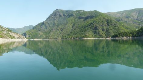
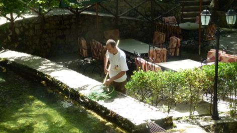
After a coffee break in a nice place below the monastery we continue to Apollonia.
Apollonia – with Arian, the archaelogist
When reaching Apollonia, Ben hands mw over to Arian, the archaeologist. “This is your dessert”, Ben says. Arian’s father was already an archaeologist, and he ended up with the same profession after having started with history and geography. Arian takes about one and a half hours to explain this “magna urbs et gravis”. It is an Ilyrian/hellenistic town that has later been expanded by the Romans.
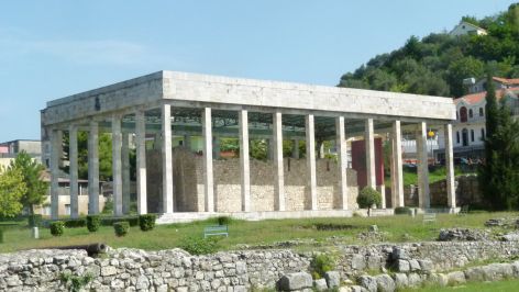
This is the Buleutorion or the house of the town council. It is the most famous structure of Apollonia.

This is the Odeon. I like it, it is small and cosy, just right for concerts.

The theatre with its round forms links the higher hellenistic with the lower Roman area of the city.
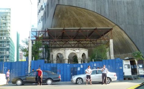
Apollonia lost its importance, when in 234 AD an earth quake diverted the river which resulted in the port no longer being accessible to ships coming from the sea.
Turtles walk around freely here. This turtle first hid its head under the shield, but after a few friendly words it looked at me again.

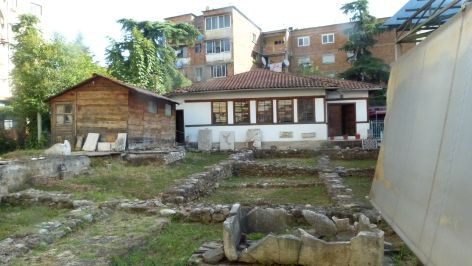
Museum and St. Mary Church at Apollonia
Arian takes me to the museum. The orthodox priest stands at the entrance chatting. St. Mary church is again in use.

The layout of the iconostasis follows strict rules. E.g. first icon left is St. Mary, second icon is the person that the church is dedicated to. As this church is for St. Mary, the second icon shows her as well.
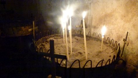
I light three candles for Ernst.
We move on to the museum. On the balcony, Arian explains this infograph to us. The wonan is losing her husband, and she tries to hold him back, but he has to go into the underworld, where he takes the boat and ends up sitting at the bottom mourning and thinking of his wife that has remained on earth. Yes, I know how this woman and her husband feel.
The museum is an excellent layout of the history of Apollonia. From Illyrian times are this shield and the helmet.

The Greek vases are beautifully painted.

The Roman vessels are not decorated. I like this lamp.

We say good-bye and thank you to Arian.
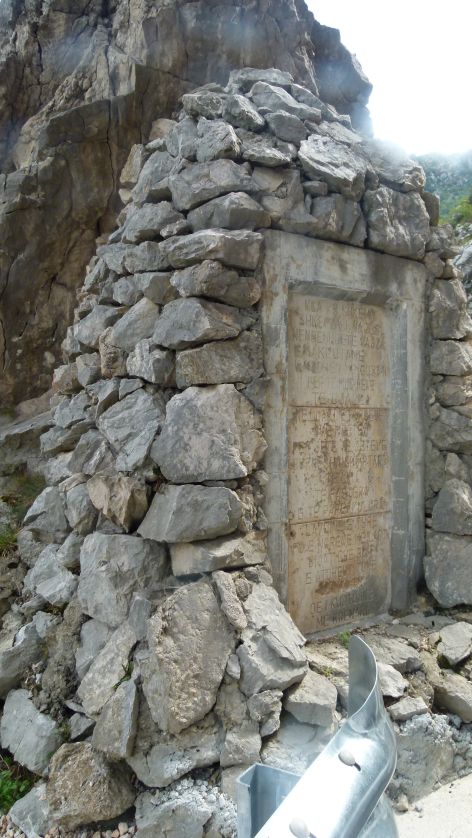
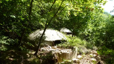
The Hoxhta and the German bunkers
Next we stop at the German bunkers. In 1944, Xhemali was four years old and he brought eggs to the Germans sitting in these bunkers, because he felt sorry for the soldiers. Now he takes tourists to the bunkers by leading them across the fields.
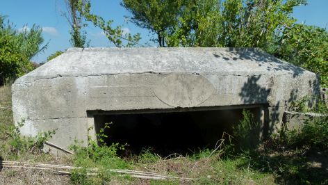
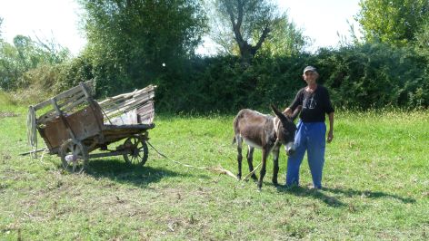
Still today, he is very hospitable and gives us two pomegranates. Here he is with his donkey.
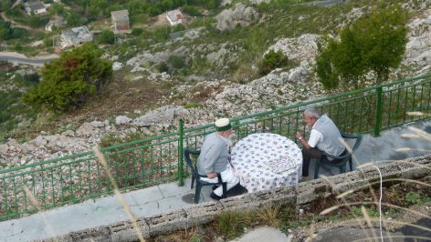
Chatting over lunch… the owner has lost his cattle
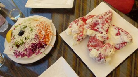
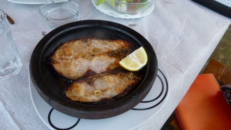
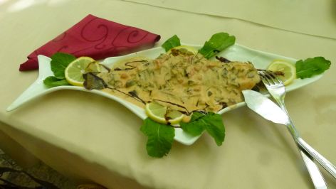
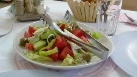
We have an excellent lunch near the road to Vlora. Above all I enjoyed the warm goat cheese with herbs on tomato, cucumber and oignons. Something to cook at home.
We hear that the manager has built up a farm, and after a heavy storm he lost everything. He had no insurance and had to start over again, Now he runs this restaurant that he has rented. Thank you for the delicious meal.
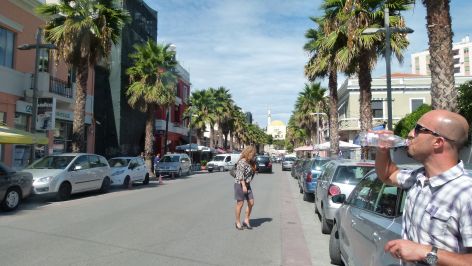
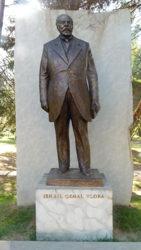
Vlora… the city of independence
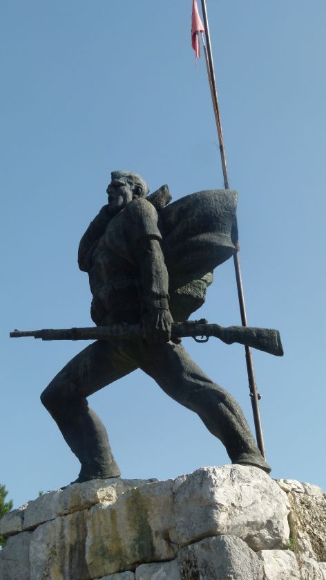
It was in Vlora that Ismail Quemali has proclaimed the independence of Albania in 1912. He was born in Vlora and he is also buried here. This is his memorial.

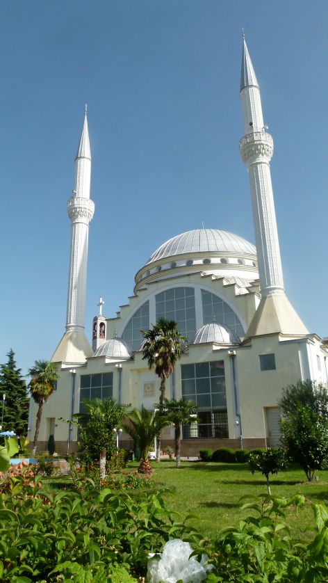
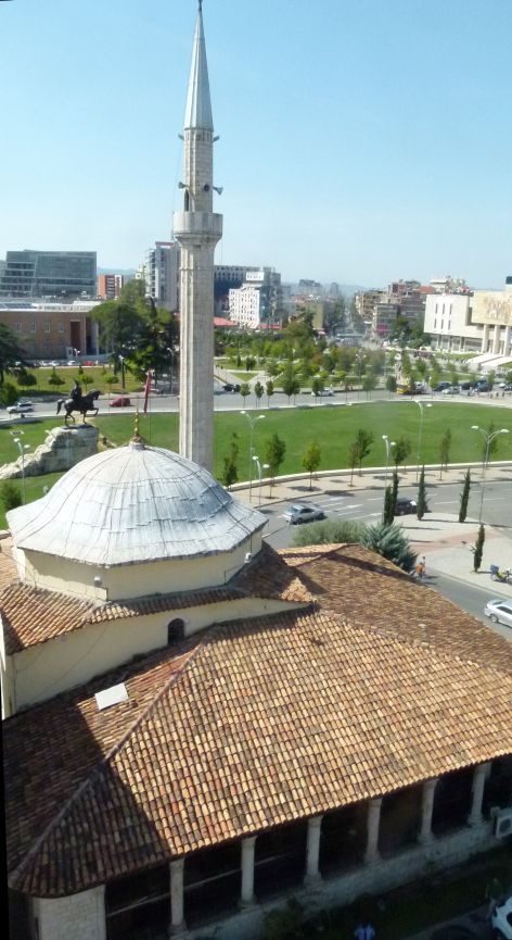
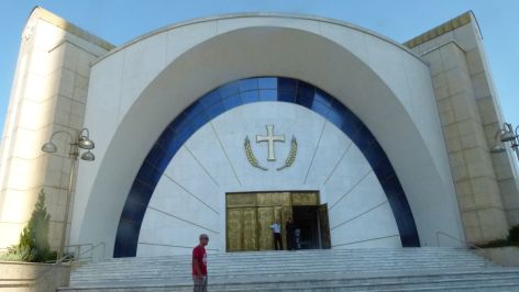
This is the mosque that some deem to have been drafted and/or built by Sinan.
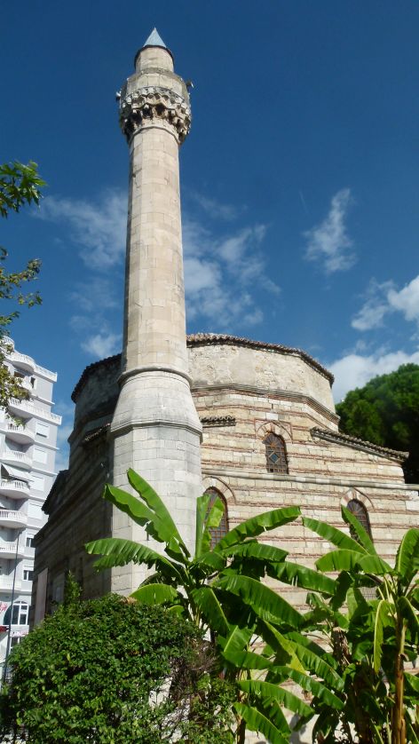
Sinan was THE architect of Suleyman the Great in the 16th century and some sources suggest that he was Albanian. I have seen and loved his mosques in Istanbul and in Damaskus. I like the harmony of the construction, but inside I am disappointed. Ben reminds mee of the communists that might have destroyed the decoration inside the mosque.
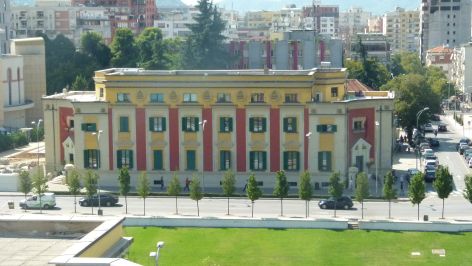
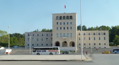
We visit the building that the first government selected to rule Albania after its foundation. The rooms of ministers are in still in place, modest and functional. The members were from all religions existing in Albania – great coexistence.
The inviting hotel in the steep, rocky bay
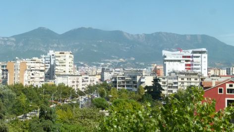
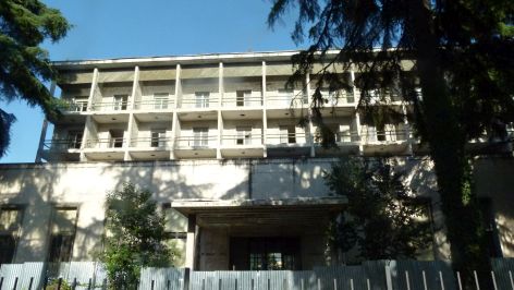
I did not like Vlora. Too many high constructions have turned into “crying” houses – skeletal structures that will never be completed. Dirt all over. At least they have started to redo the central square with tiles, trees and benches.
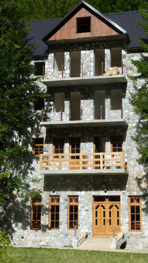
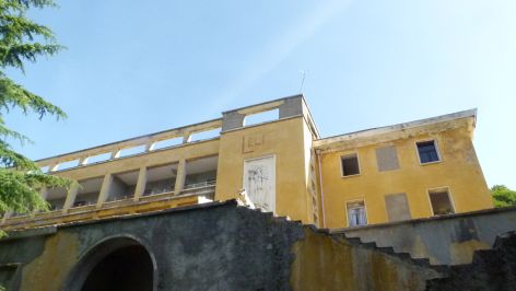
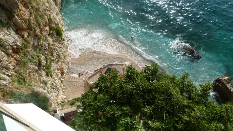
Then Ben shows to me, what an innovative guy has made out of a rocky bay: The Liro hotel and restaurant – does its bright yelllow color not look joyful and inviting.

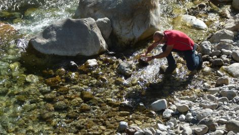
I would love to swim here. The water ist cristal clear.
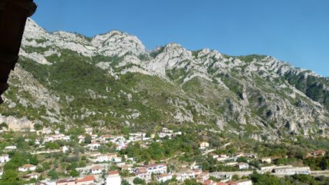
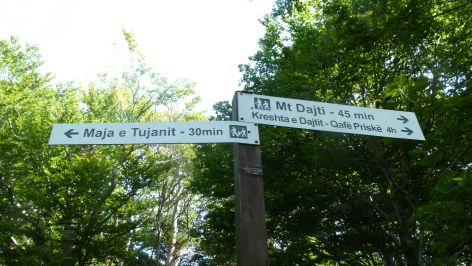
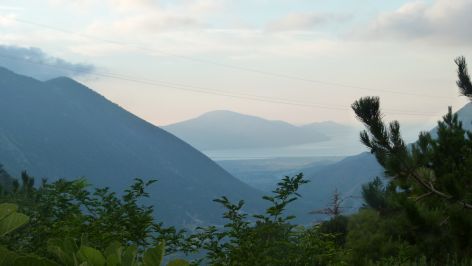
Continuing to Llogara pass
Now our car is climbing upwards to the Llogara pass.
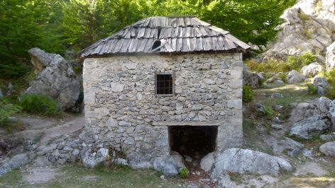
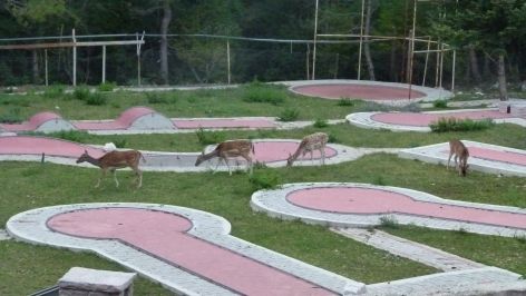
We stop at the Llogara Village resort. It is a yougoslawian style hotel with playgrounds for children and a minigolf area that serves as a zoo for deer. Great for children. Ben was here for the first time and he prefers the hotel Alpina.
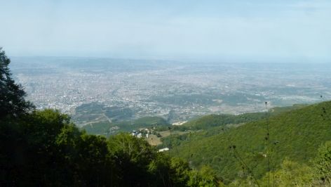
Tomorrow we plan to get up at six and go for an early morning walk to the pass and a nearby hill with a view of the Ionean Sea.